Browse Items (82 total)
- Spatial Coverage is exactly "Netherlands--Vlissingen"
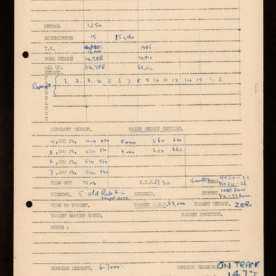
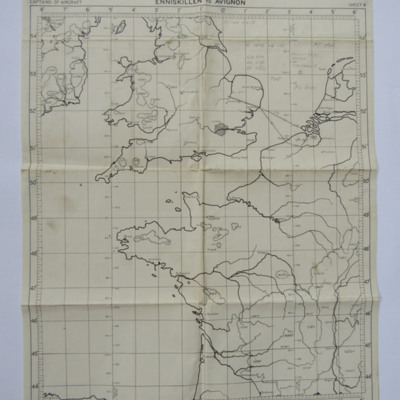
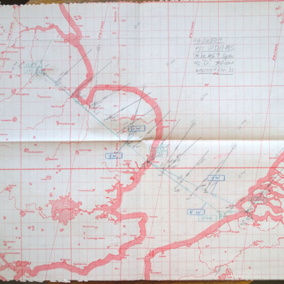
Plotting map and logs for operation to Flushing (Vlisingen)
This item was sent to the IBCC Digital Archive already in digital form. No better quality copies are available.
Tags: 467 Squadron; bombing; Lancaster; RAF Waddington
Jack Crawford's trip book
Tags: 50 Squadron; Advanced Flying Unit; aircrew; Anson; bale out; bombing; Catalina; ground personnel; Initial Training Wing; Ju 88; Lancaster; Lancaster Finishing School; love and romance; Nissen hut; Operational Training Unit; RAF Barford St John; RAF Coningsby; RAF Scampton; RAF Sutton Bridge; RAF Syerston; RAF Upper Heyford; training; Wellington; wireless operator / air gunner
A year in the Life
Tags: 12 Squadron; 1656 HCU; 18 OTU; 460 Squadron; 625 Squadron; 626 Squadron; Advanced Flying Unit; air gunner; aircrew; anti-aircraft fire; B-17; B-24; bomb aimer; bombing; bombing of the Pas de Calais V-1 sites (24/25 June 1944); Distinguished Flying Cross; entertainment; evading; FIDO; Gee; H2S; Halifax; Heavy Conversion Unit; incendiary device; Ju 88; killed in action; lack of moral fibre; Lancaster; Lancaster Finishing School; Me 110; mine laying; Mosquito; navigator; Nissen hut; Normandy campaign (6 June – 21 August 1944); Oboe; Operational Training Unit; P-51; Pathfinders; Photographic Reconnaissance Unit; pilot; prisoner of war; RAF Binbrook; RAF Blyton; RAF Boscombe Down; RAF Cardington; RAF Dumfries; RAF Dunholme Lodge; RAF Finningley; RAF Hemswell; RAF hospital Rauceby; RAF Kelstern; RAF Lindholme; RAF Manby; RAF Manston; RAF Methwold; RAF Wickenby; RAF Wigtown; RAF Woodbridge; searchlight; Spitfire; tactical support for Normandy troops; target indicator; training; V-1; V-2; V-weapon; Wellington; Window; wireless operator
Leslie Alfred Davies and crew
Tags: 10 Squadron; 14 OTU; 1654 HCU; 50 Squadron; 6 BFTS; Advanced Flying Unit; aerial photograph; air gunner; Air Gunnery School; aircrew; Anson; anti-aircraft fire; Bolingbroke; bomb aimer; bomb trolley; bombing; bombing of Dresden (13 - 15 February 1945); Bombing of Trossy St Maximin (3 August 1944); British Flying Training School Program; C-47; crash; Distinguished Flying Cross; FIDO; flight engineer; Flying Training School; George VI, King of Great Britain (1895-1952); ground crew; Halifax; Heavy Conversion Unit; incendiary device; Ju 88; killed in action; Lancaster; Lancaster Finishing School; Lancaster Mk 1; Me 262; memorial; military service conditions; missing in action; Mosquito; navigator; Normandy campaign (6 June – 21 August 1944); Operational Training Unit; petrol bowser; pilot; RAF Banff; RAF Barrow in Furness; RAF Husbands Bosworth; RAF Llandwrog; RAF Madley; RAF Skellingthorpe; RAF St Athan; RAF Syerston; RAF Wigsley; reconnaissance photograph; service vehicle; Stirling; target indicator; training; V-1; V-weapon; Wellington
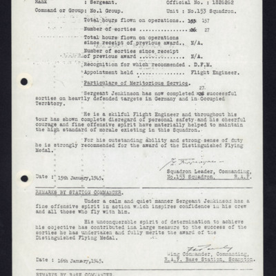
Recommendation for Honours and Awards (DFM) for Peter Jenkinson
Hastie DFC: The Life and Times of a Wartime Pilot
Tags: 1 Group; 100 Group; 101 Squadron; 157 Squadron; 2 Group; 214 Squadron; 223 Squadron; 3 Group; 4 Group; 6 Group; 8 Group; 85 Squadron; 88 Squadron; air gunner; aircrew; anti-aircraft fire; B-17; B-24; B-25; bale out; Beaufighter; Bismarck; Botha; C-47; Chamberlain, Neville (1869-1940); Churchill, Winston (1874-1965); crash; crewing up; Distinguished Flying Cross; entertainment; evacuation; Flying Training School; Gee; Gneisenau; Goldfish Club; ground personnel; H2S; Halifax; Harris, Arthur Travers (1892-1984); Harvard; He 111; Heavy Conversion Unit; Hitler, Adolf (1889-1945); Hudson; Hurricane; Initial Training Wing; Ju 88; Lancaster; love and romance; Martinet; Me 109; Me 110; mine laying; Mosquito; Mussolini, Benito (1883-1945); navigator; Nissen hut; Oboe; Operational Training Unit; Oxford; Pathfinders; pilot; Proctor; radar; RAF Banff; RAF Catfoss; RAF Catterick; RAF Chedburgh; RAF Cranwell; RAF Dishforth; RAF Farnborough; RAF Horsham St Faith; RAF Kinloss; RAF Leuchars; RAF Lichfield; RAF Lyneham; RAF Manston; RAF North Coates; RAF Oulton; RAF Padgate; RAF Prestwick; RAF Riccall; RAF Silloth; RAF South Cerney; RAF St Eval; RAF Thornaby; RAF Thorney Island; RAF Windrush; RAF Woodbridge; Roosevelt, Franklin Delano (1882-1945); Scharnhorst; Spitfire; sport; Stirling; Swordfish; Tiger Moth; Tirpitz; training; V-1; V-2; V-weapon; Whitley; Window; wireless operator; Women’s Auxiliary Air Force
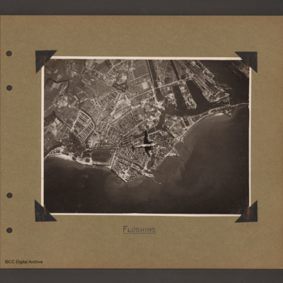
Holland Flushing
Tags: aerial photograph; bombing; Cook’s tour
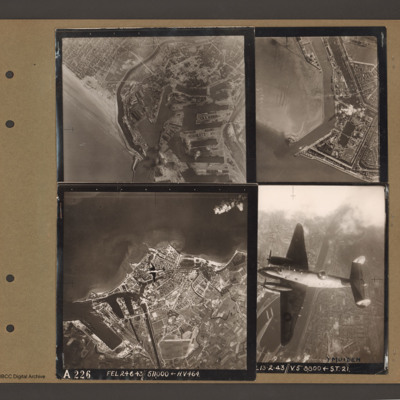
Ventura over Flushing
Tags: aerial photograph; bombing; Ventura
Dunkirk, Den Helder, Vlissingen and Ventura over Ijmuiden
Top right an aerial vertical…
Vlissingen [entry point]
Bomb aimers briefing 23 October 1944 - Flushing
Tags: aircrew; bomb aimer; bombing; briefing; Window
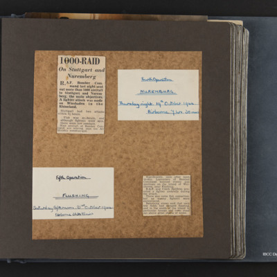
Fourth and fifth operations, Nuremberg and Flushing
Tags: bombing
George Holmes' navigator’s, air bomber’s and air gunner’s flying log book
Tags: 1660 HCU; 17 OTU; 50 Squadron; 83 Squadron; 9 Squadron; Air Gunnery School; aircrew; bombing; bombing of Dresden (13 - 15 February 1945); bombing of the Normandy coastal batteries (5/6 June 1944); Botha; Cook’s tour; Dominie; Heavy Conversion Unit; Lancaster; Lancaster Finishing School; Lancaster Mk 1; Lancaster Mk 3; Lincoln; mid-air collision; military service conditions; Normandy campaign (6 June – 21 August 1944); Operation Dodge (1945); Operational Training Unit; Oxford; Pathfinders; Proctor; RAF Bardney; RAF Coningsby; RAF Evanton; RAF Hemswell; RAF Silverstone; RAF Skellingthorpe; RAF Swinderby; RAF Syerston; RAF Turweston; RAF Yatesbury; Stirling; tactical support for Normandy troops; training; Wellington; wireless operator
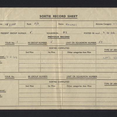
George Holmes sortie record sheet 83 Squadron
V Group News, October 1944
Tags: 5 Group; 617 Squadron; 9 Squadron; air gunner; aircrew; bomb aimer; bombing; Distinguished Flying Cross; Distinguished Flying Medal; Distinguished Service Order; ditching; flight engineer; Gee; gremlin; H2S; Master Bomber; military living conditions; military service conditions; mine laying; navigator; Nissen hut; pilot; radar; rivalry; Tallboy; Tirpitz; training; wireless operator
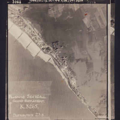
Flushing Sea Wall
Reverse has stamp 'Intelligence section RAF…
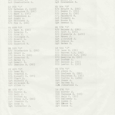
75 Squadron Crews for Westkapelle Dyke Operation
A second two page list is a draft of the first document, with handwritten annotations.
Tags: 75 Squadron; aircrew; bombing; Lancaster
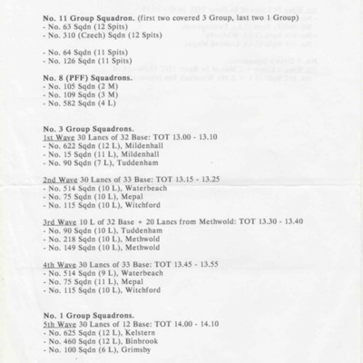
Westkapelle, October 3, 1944
Tags: 1 Group; 100 Squadron; 101 Squadron; 103 Squadron; 105 Squadron; 109 Squadron; 115 Squadron; 12 Squadron; 149 Squadron; 15 Squadron; 166 Squadron; 218 Squadron; 3 Group; 300 Squadron; 460 Squadron; 514 Squadron; 550 Squadron; 576 Squadron; 582 Squadron; 617 Squadron; 622 Squadron; 625 Squadron; 626 Squadron; 75 Squadron; 90 Squadron; bombing; Lancaster; Mosquito; Pathfinders; RAF Binbrook; RAF Elsham Wolds; RAF Faldingworth; RAF Grimsby; RAF Kelstern; RAF Kirmington; RAF Ludford Magna; RAF Mepal; RAF Methwold; RAF Mildenhall; RAF North Killingholme; RAF Tuddenham; RAF Waterbeach; RAF Wickenby; RAF Witchford; RAF Woodhall Spa; Spitfire
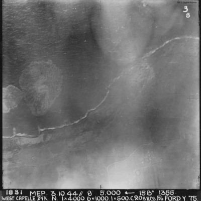
West Capelle Dyk N
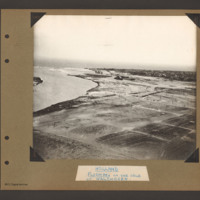
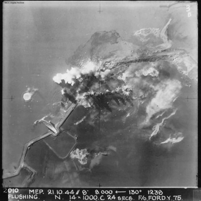
Flushing
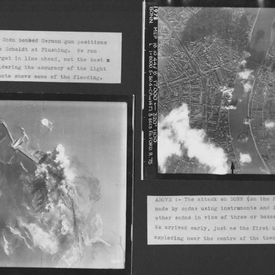
Flushing and Bonn
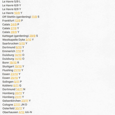
Summary of Terry Ford's Operations
Tags: 75 Squadron; bombing
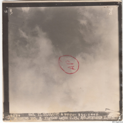
Flushing
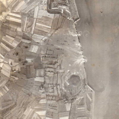
The image is captioned '6586 Wad.11.10.44//8" 6900

![YCrawfordJ[Ser#-DoB]v1.pdf YCrawfordJ[Ser#-DoB]v1.pdf](https://ibccdigitalarchive.lincoln.ac.uk/omeka/files/square_thumbnails/1918/45594/YCrawfordJ[Ser -DoB]v1.jpg)
