Browse Items (749 total)

  • Tags: target photograph

SKeelingRV82689v10032.jpg
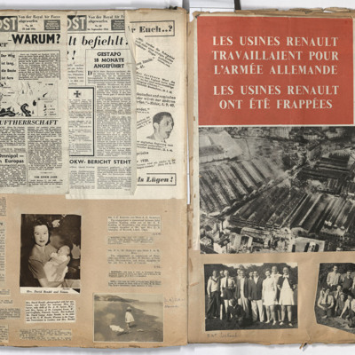
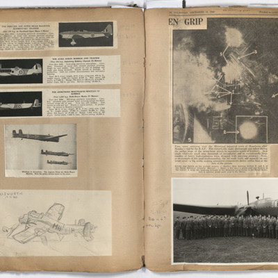
Left page: top, the Luftpost, numbers 10 and 18.
Middle, left report of an aircraft landing on a car.
Middle centre, woman holding a baby, reports of engagements and births of babies.
Bottom left, report of the death of Lieutenant Geoffrey William…

SKeelingRV82689v10018.jpg
Left page: from top, descriptions of the Magister, Anson and Whitley aircraft, annotated 'RAF aircraft in which Bob did his training'.
Whitley aircraft, B-DY, C-DY and E-DY, flying in formation; bottom, crashed Whitley MH-H, annotated 'Usworth 17 11…

PRobinsonS18010010.jpg
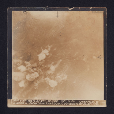
Target photograph of Osterfeld (Oberhausen-Sterkrade). Roads and buildings are visible as are the Rhine-Herne Canal and railway running from centre left to upper right. Smoke can be seen in the lower left quadrant of the image and there is some glare…

PRobinsonS18010013.jpg
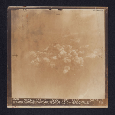
Target photograph of Wesel. Some roads and railway tracks can be seen in the upper half while at the centre there are several plumes of smoke. The whole area is covered by thin cloud.
It is captioned: "2952 MEP. 16.2.45//7" 19,000' 112º 1600 WESEL.…

PRobinsonS18010008.jpg
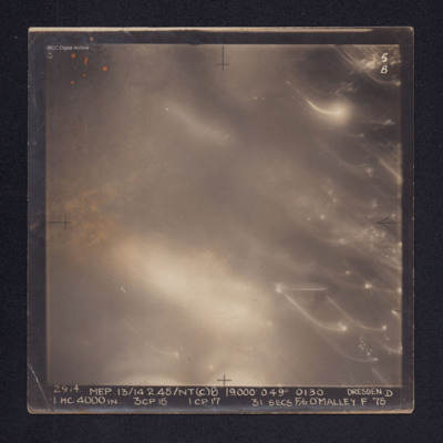
Target photograph of Dresden. No ground details are visible but the glare from fires on the ground are visible through the smoke. There are some bright spots and trails of light on the right. It is annotated "5B" and captioned: "2914. MEP.…

PRobinsonS18010006.jpg
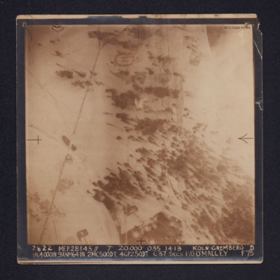
A target photograph of snow covered Koln-Gremberg. In the upper, right quadrant are some marshalling yards and the River Rhine, partially obscured by cloud. In the upper and lower left quadrants is a main railway line. At upper centre is an area of…

PRobinsonS18010003.jpg
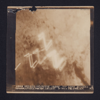
A target photograph of Duisburg. Cloud or smoke obscures the ground and there are several light trails in the centre of the photograph.
It is annotated "5B" and captioned: "2809 MEP. 22/23.1.45//NT(C)8" 19,000' 112º 2009 DUISBERG [sic]. Z…

PRobinsonS18010019.jpg
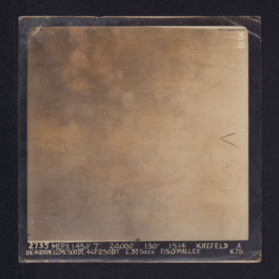
Target photograph of Krefeld. Cloud, smoke and glare obscures all ground detail.
It is annotated: "3B" and captioned: "2735 MEP. 11.1.45//7" 20,000' 130º 1514 KREFELD A 1HC4000IN, 12MC500DT, 4GP250DT. C.37SECS F/S O'MALLEY K.75.".

Also a…

PRobinsonS18010021.jpg
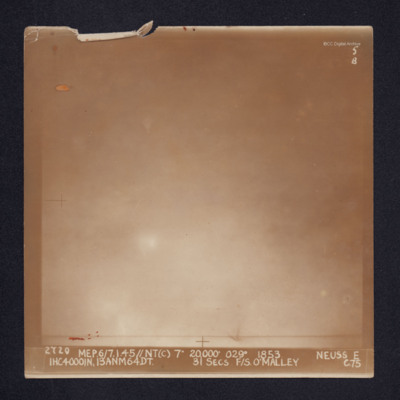
Target photograph of Neuss. Glare and cloud obscures all ground detail. It is annotated "5B" and captioned: "2720 MEP.6/7.1.45//NT(C) 7" 20,000' 029º 1853. NEUSS E 1HC4000IN, 13ANM64DT. 31 SECS. F/S. O'MALLEY C.75".

PRobinsonS18010018.jpg
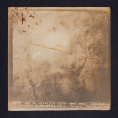
Target photograph of Vohwinkel. Smoke and glare obscures most of the ground and only the vague outlines of some ground features are visible.
It is annotated: "5B" and captioned: "2659 MEP 1/2.1.45//NT(C)7' 19,500. 360º 1944 VOHWINKEL K 1HC4000IN.…

PRobinsonS18010016.jpg
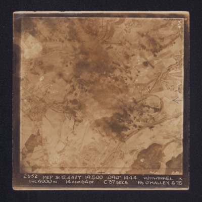
Target photograph of Vohwinkel. In the lower right quadrant rail tracks and sidings are visible, alongside which is a distinctive complex of roads and buildings. The buildings and streets of Gräfrath can be seen at the centre left of the image while…

PRobinsonS18010012.jpg
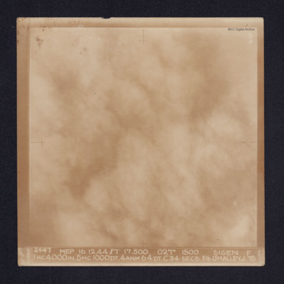
Target photograph of Siegen. Cloud or smoke obscures all ground detail. It is annotated "3B" and captioned: "2547 MEP. 16.12.44//7" 17,500. 027º 1500 SIGEN [sic]. F 1HC4000IN. 5MC1000DT. 4ANM64DT. C34 SECS. F/S O'MALLEY. J.75

PRobinsonS18010001.jpg
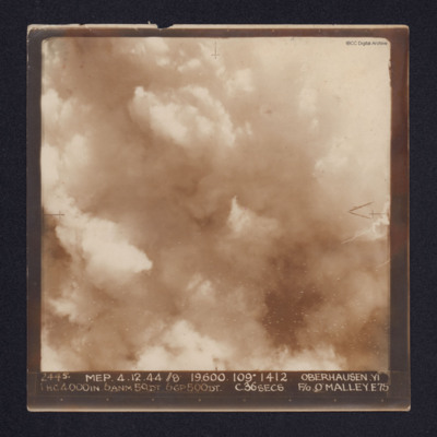
A target photograph of Oberhausen. Cloud or smoke obscures the ground. There are some small smoke trails at centre left.
It is annotated "5B" and captioned: "2445. MEP. 4.12.44 //8 19,600. 109º 1412 OBERHAUSEN,YI 1 HC4000IN. 6ANM 50DT. 6GP500DT.…

PBlamiresRG22020036.jpg
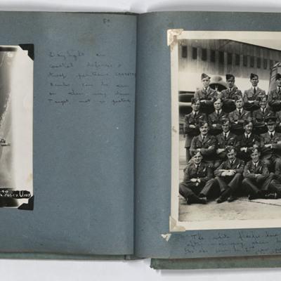
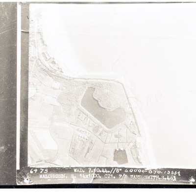
LH page, target photograph of the coastline southwest of Sangatte, with the current D940 road. Captioned '953 EWS 20.9.44// 8" 3000 120 (degrees) 1640 Sangatte ? U 13 X 1000 4 X 500 16secs F/L Josey U 103'. Handwritten caption 'Daylight on coastal…

PBlamiresRG22020037.jpg
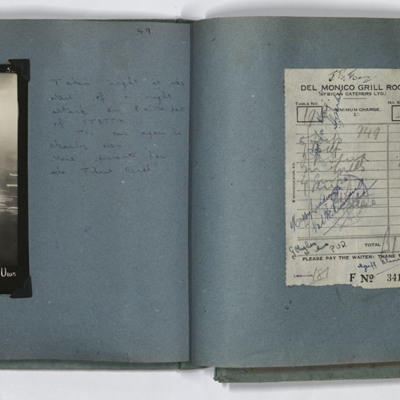
LH page target photograph caption ' 4231. EWS. 29/30.8.44//nr?8" 12000 230(degrees) 0200 Stettin U 1 X 4000 7 X 4 6 X 30 28secs F/L Josey U 103'. Handwritten caption 'Taken right at the start of a night attack on Baltic port of STETTIN.
TIs can…

PBlamiresRG22020038.jpg
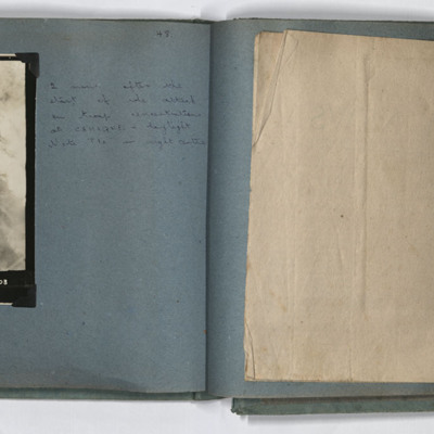
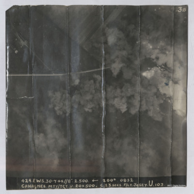
LH page, target photograph rural area with road running left to right and several buildings in top left. Many bomb explosions visible, captioned '429.EWS.30.7.44.//8" 2500 200(degrees) 0832.CAHAGNES MTT/TGT. U. 20 X 500.C.23 secs. F/Lt Josey. U.103'.…

PBlamiresRG2214.jpg
Target photograph shows explosions with dust and smoke clouds. Some target indicator flares are to right. Rural area with some buildings visible in top left with track crossing left to right. Captioned '429.E.W.S. 30.7.44//8" 2.500 200(Degrees) 08.32…

PDrinkellWG22010029.jpg
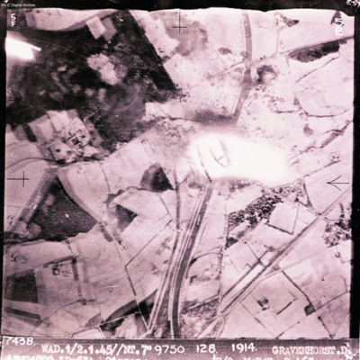
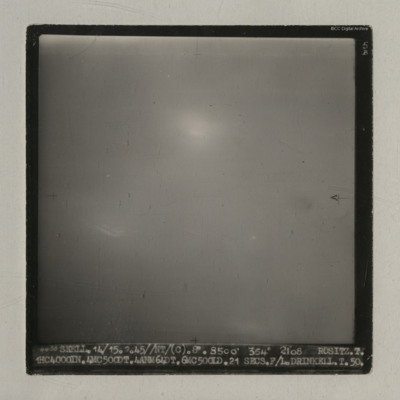
A vertical aerial photograph taken during an operation at Rositz. No detail is visible on the ground.
It is captioned '4438 Skell. 14/15.2.45//NT/ (C). 8" 8500' 354° 2108 Rositz. T. 1HC4000IN.4MC500DT.4ANM64DT.6MC500LD. 21 secs. F/L.…

PDrinkellWG22010027.jpg
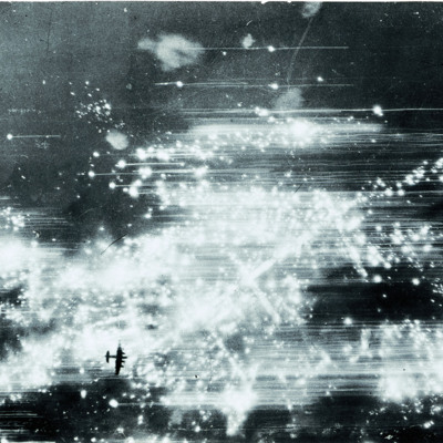
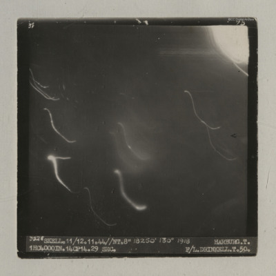
A vertical aerial photograph of an operation at Harburg. Very little detail is visible on the ground but there are several light flashes.
It is captioned '3528 Skell. 11/12.11.44//NT.8" 18250' 130° 1918 Harburg. T. 1HC4000IN.14CP14. 29 sec. F/L…

PDrinkellWG22010025.jpg
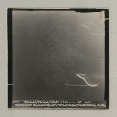
A vertical aerial photograph taken during an operation at Bremerhaven. Indistinct ground images can be seen. It is captioned '2940 Skell. 18/19.9.44//NT. 8" 15500 <-- 168° 2102 Bremerhaven RD.H.1x2000.12 "J" x30.25 secs. F/O Drinkell. H.50'. On…

PDrinkellWG22010024.jpg
A vertical aerial photograph taken during an operation at Houffalize. No detail is visible on the image due to light and explosions.
It is captioned '4079 Skell 30/31.12.44 // NT (C) 8" 10500' 005° 0503 Houffalize. T. 11ANM 65DT. 4GP 00. 21 secs.…

PDrinkellWG22010022.jpg
A vertical aerial photograph of Heilbronn taken during an operation. A canal is visible in the centre running op to bottom but most of the image is obscured by light flashes.
It is captioned '3725 Skell. 4/5.12.44//NT. 8". 13800' 146° 1935…

PDrinkellWG22010021.jpg
A vertical aerial photograph of an operation at Ladbergen. Most of the image is obscured by light but the canal is visible.
It is captioned '3506 Skell. 4/5.11.44//NT 8" 11500' 066° 1930 Ladnergen [sic] T. 14 ANM 65DN. 22 secs F/O Drinkell. T. 50'.

PDrinkellWG22010019.jpg
A vertical aerial photograph of Flushing taken during an operation. Bomb bursts can be seen in the centre of the image. The coastline is clearly visible.
It is captioned '3389 Skell 23.10.44//8"/ 4000

PDrinkellWG22010017.jpg
A vertical aerial photograph taken during an operation at Wurzburg. No detail visible on the ground.
It is captioned '4724 Skell. 16/17.3.45//NT/(C). 8". 10000 004° 2138 Wurzburg. T. 1HC4000IN.18x4. 19 secs F/L Drinkell.T.50'.
On the reverse 'F/Lt…
Output Formats

atom, dc-rdf, dcmes-xml, json, omeka-xml, rss2