Browse Items (1442 total)
- Tags: aerial photograph
Sort by:
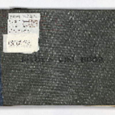
Eleanor Lettice Curtis’ Pilot’s Log Book
Eleanor Lettice Curtis’ civilian Pilot’s Log Book from 16th June 1937 until 19th October 1940. Lettice started flying training with Yapton Aero Club at Ford Airfield. After qualifying she was involved in aerial photography. In summer 1939 she…
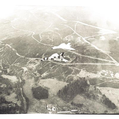
Two Vulcans near Bower
Air-to-air view looking down at two Vulcans in formation flying over Northumberland National Park near Bower.
Tentative identification kindly provided by Chris Clarke of the Unidentified photos of the British Isles Group.
Tentative identification kindly provided by Chris Clarke of the Unidentified photos of the British Isles Group.
Tags: aerial photograph
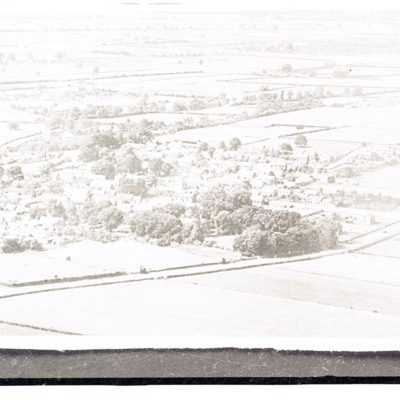
Waddington village
Air to ground view of flat open countryside with village buildings in trees.
Tags: aerial photograph
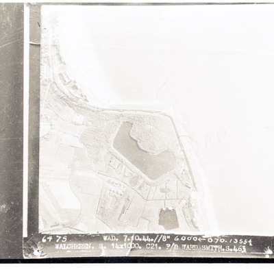
Walcheren
Target photograph of Walcheren showing coast with sea to right and land with lagoon in centre. Captioned 'Walcheren, Wad, 7.10.44 //8" 6000 070 13554, 14 x 1000 C21 F/O Ward Smith S. 463'.
Westkapelle
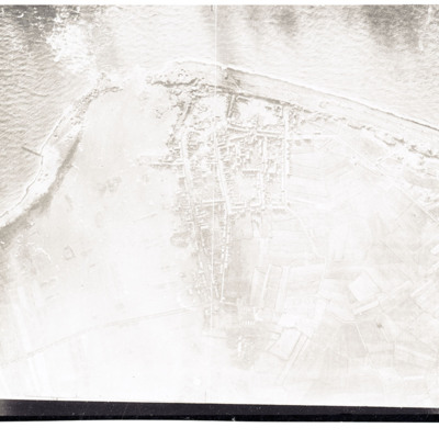
Reconnaissance photograph showing coast with breached sea wall. Town in centre.
Dortmund-Ems Canal near Ladbergen
Reconnaissance photograph showing the canal running left to right with a destroyed river over canal bridge circles in the centre. Many bomb craters both sides of canal.
Lancasters in snow
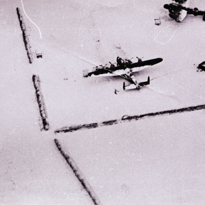
Air to ground view of two Lancasters parked on snow covered ground.
Tags: aerial photograph; Lancaster
RAF Waddington
Air-to-ground view of a standard lay out RAF airfield with buildings on the left and runways to the right,
Snow covered airfield with Lancaster
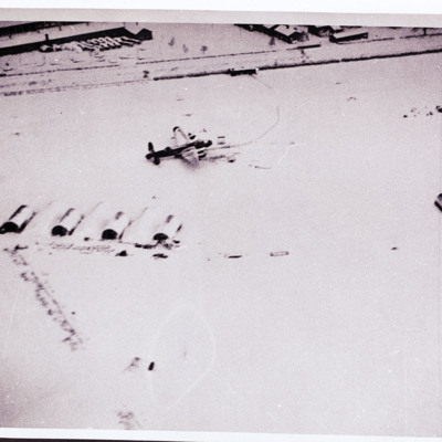
Air-to ground view of a snow covered airfield with huts and two parked Lancaster. Buildings at the top.
Tags: aerial photograph; Lancaster
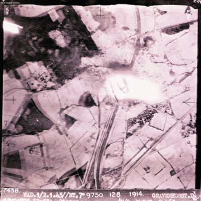
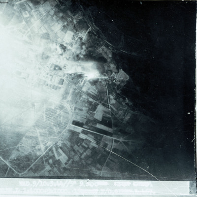
Gravenhorst
Target photograph showing canal running top to bottom with open countryside each side. Explosion in the centre. Captioned '7438 WAD/1/2.4.45//NT 7"9750 128 1914 GRAVENHORST.D'. Two versions of image.
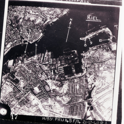
Kiel
Reconnaissance photograph of Kiel port area and city with targets indicated by arrows. Text above 'we were issued wit escape kit for [missing] consisting of currency and maps for [missing] flew over, emergency survival [missing] wakey pills and a…
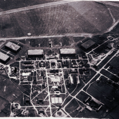
RAF Waddington
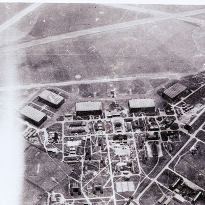
Air-to-ground image of an airfield with hangars and other buildings in bottom half and airfield with part of runway in top third of image.
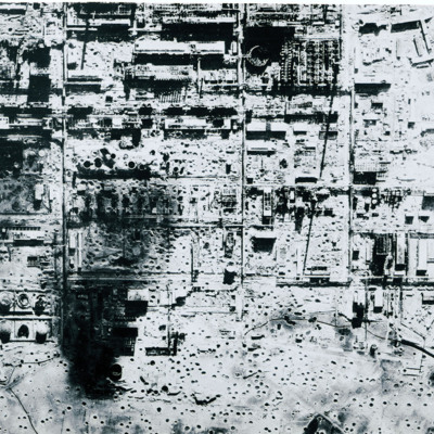
Bombed synthetic oil plant at Politz
Reconnaissance photograph of severely bomb damaged synthetic oil plant at Politz. Many bomb craters and destroyed buildings.
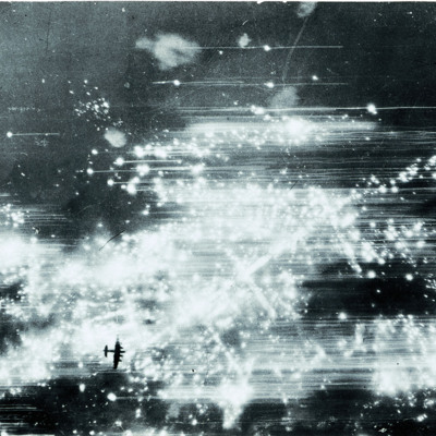
Target photograph of Hannover
Image shows multiple explosions/fires in the Sudstadt district of Hannover and a Lancaster silhouetted well below bottom left.
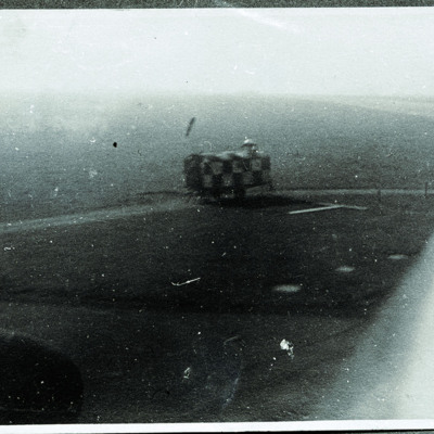
Control caravan
Control caravan taken from the cockpit of an aircraft.
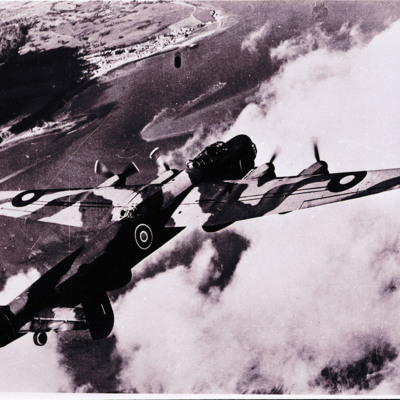
Airborne Lincoln
View from above and behind of an airborne Lincoln. Below is cloud, sea and coastline top left.
Tags: aerial photograph; Lincoln
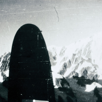
View of mountains
View of snow covered mountains from the air with tail fin of a Lancaster in view.
Tags: aerial photograph
Marignane
Show open countryside on right with built up area on left.
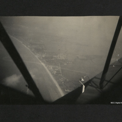
French coast
Aerial view of a coastline, beach and town with fields beyond. The aircraft struts, propeller and part of the fuselage can be seen from the aircraft. On the reverse, 'French coast at Caen during summer 1940'.
Tags: aerial photograph
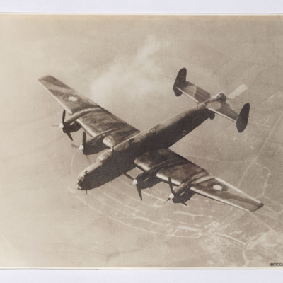
Halifax
Air-to-air view of a Halifax flying with only starboard inner engine over a rural landscape. The aircraft is painted in camouflage colours and late 1942 roundels are on the wings and fuselage. The Rolls Royce Merlin engine spinners are painted white…
Tags: aerial photograph; Halifax; Halifax Mk 2
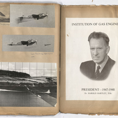
Experimental work
Left page: top left, helicopter undertaking survey work. Top right, a Mosquito in flight with missiles suspended below the fuselage. Middle left, reports from surveyors. Middle right, airborne missile below a Mosquito with a further missile held…
Tags: aerial photograph; Mosquito; RAF Farnborough
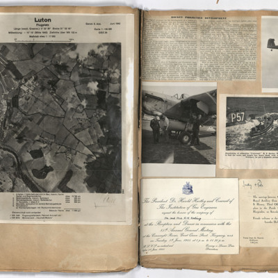
Luton
Left page: view of Luton with German annotation. Right page: top left, report of rocket development. Top right, Barracuda in flight with tail wheel showing. Middle left, three airmen standing alongside a Barracuda. Middle right, lifeboat alongside…
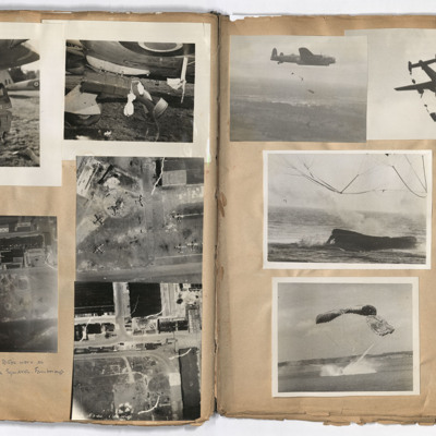
Armaments squadron
Left page: top left and right, damage to the undercarriage of an aircraft. Middle right, aerial view of aircraft on the ground.
Bottom left and right, aerial views of an airfield, annotated '4 pages to do with Bob's work as test pilot Armaments…
Bottom left and right, aerial views of an airfield, annotated '4 pages to do with Bob's work as test pilot Armaments…
Tags: aerial photograph; air sea rescue; aircrew; Halifax; Lancaster; pilot
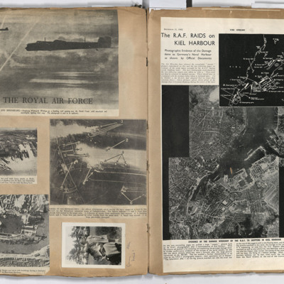
Targets
Left page: top, two flying Whitley aircraft passing over the Dutch coast.
Middle left, aerial view of Hamburg docks.
Middle right, bombing targets and fires in Gelsenkirchen.
Bottom left, bombing of Boulogne harbour.
Bottom right, a woman…
Middle left, aerial view of Hamburg docks.
Middle right, bombing targets and fires in Gelsenkirchen.
Bottom left, bombing of Boulogne harbour.
Bottom right, a woman…

