Browse Items (157 total)
- Tags: RAF Waterbeach
George Hutton’s navigator’s, air bomber’s and air gunner’s flying log book
Tags: 1651 HCU; 180 Squadron; 199 Squadron; 514 Squadron; air gunner; Air Gunnery School; aircrew; Anson; B-25; bale out; Blenheim; bombing; bombing of Nuremberg (30 / 31 March 1944); bombing of the Normandy coastal batteries (5/6 June 1944); Cook’s tour; Heavy Conversion Unit; Lancaster; Lancaster Mk 2; Martinet; mine laying; Normandy campaign (6 June – 21 August 1944); propaganda; RAF Andreas; RAF Lakenheath; RAF Pembrey; RAF Waterbeach; Stirling; training; Wellington
George Alexander Mackie’s pilots flying log book. Two
Tags: 11 OTU; 1651 HCU; 214 Squadron; aircrew; animal; arts and crafts; B-17; B-24; bombing; bombing of the Creil/St Leu d’Esserent V-1 storage areas (4/5 July 1944); C-47; Flying Training School; Heavy Conversion Unit; Initial Training Wing; military living conditions; mine laying; Normandy campaign (6 June – 21 August 1944); Operational Training Unit; Oxford; pilot; RAF Chedburgh; RAF Downham Market; RAF Nutts Corner; RAF Oulton; RAF Prestwick; RAF Sculthorpe; RAF Stoney Cross; RAF Tempsford; RAF Waterbeach; Stirling; training
George Alexander Mackie’s pilots flying log book. One
Tags: 11 OTU; 15 Squadron; 1651 HCU; aircrew; Anson; arts and crafts; bombing; bombing of Cologne (30/31 May 1942); crash; Flying Training School; He 111; Heavy Conversion Unit; Initial Training Wing; Lancaster; love and romance; Magister; Operational Training Unit; Oxford; pilot; RAF Bassingbourn; RAF Castle Combe; RAF Cranfield; RAF Waterbeach; RAF Wyton; Stirling; Tiger Moth; training; Wellington
Jack Jarmy’s Royal Canadian Air Force observer’s and air gunner’s flying log book. One
Tags: 11 OTU; 1651 HCU; 218 Squadron; 75 Squadron; Air Observers School; aircrew; Anson; Beaufighter; bombing; bombing of Dresden (13 - 15 February 1945); bombing of Hamburg (24-31 July 1943); bombing of Helgoland (18 April 1945); Bombing of Peenemünde (17/18 August 1943); C-47; Flying Training School; Harvard; Heavy Conversion Unit; Lancaster; Lancaster Finishing School; Meteor; mine laying; navigator; Operational Training Unit; Oxford; RAF Abingdon; RAF Carlisle; RAF Chedburgh; RAF Chivenor; RAF Dishforth; RAF Feltwell; RAF Kinloss; RAF Mepal; RAF Middleton St George; RAF North Luffenham; RAF Shallufa; RAF Swinderby; RAF Topcliffe; RAF Waterbeach; RAF Westcott; Shackleton; Stirling; Tiger Moth; training; Wellington
Extracts from Jim Moffat's Log Book
M Moffat’s Air Gunner’s Flying Log Book covering the period 16 June 1943 to 30 March 1944. Hand written note –missing’. Detailing his…
W E Lucas’ pilots flying log book
Tags: 139 Squadron; 15 Squadron; 162 Squadron; 19 OTU; 20 OTU; 9 Squadron; aircrew; Anson; bombing; bombing of Cologne (30/31 May 1942); Cook’s tour; Flying Training School; H2S; Halifax; Lancaster; Magister; mine laying; Mosquito; Operational Training Unit; Oxford; pilot; RAF Alconbury; RAF Bourn; RAF Hartford Bridge; RAF Honington; RAF Hullavington; RAF Kinloss; RAF Lossiemouth; RAF Upwood; RAF Warboys; RAF Waterbeach; RAF Wyton; Stirling; training; Wellington; Whitley
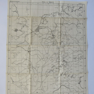
Planning Chart from Waterbeach to Cologne
Tags: aircrew; bombing; navigator; RAF Mepal; RAF Waterbeach
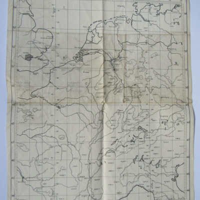
Planning Chart from Waterbeach to Essen
Tags: aircrew; bombing; navigator; RAF Mepal; RAF Waterbeach
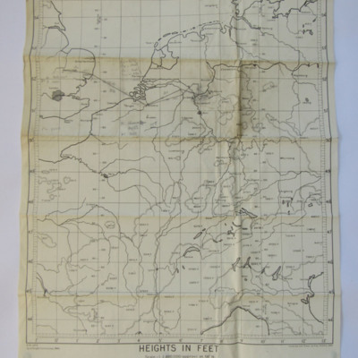
Planning Chart from Waterbeach to Essen
Tags: aircrew; bombing; navigator; RAF Waterbeach
Planning Chart from Waterbeach to Soest Marshalling Yards
Tags: aircrew; bombing; navigator; RAF Waterbeach
Planning Chart from Waterbeach to Emmerich
Tags: aircrew; bombing; navigator; RAF Mepal; RAF Waterbeach
Planning Chart from Waterbeach to Eindhoven
Tags: aircrew; bombing; navigator; RAF Waterbeach
Planning Chart from Waterbeach to Bonn
Tags: aircrew; bombing; navigator; RAF Mepal; RAF Waterbeach
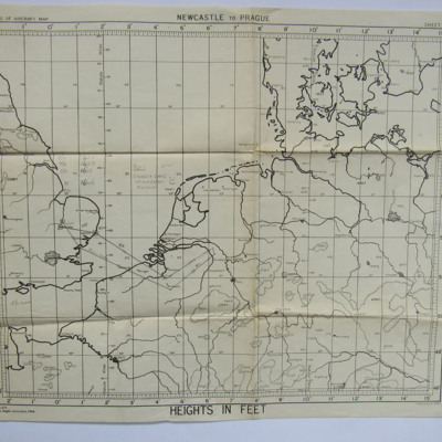
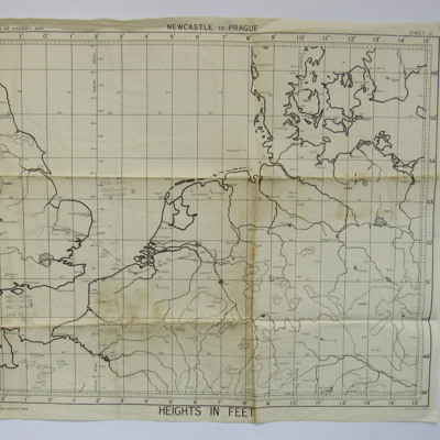
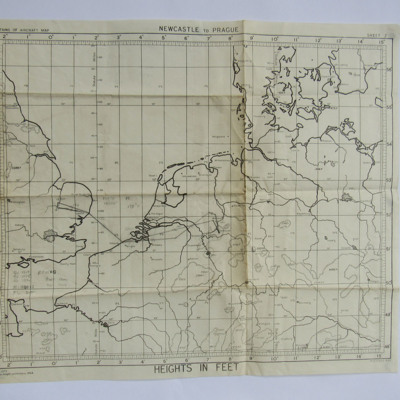
Planning Chart for an operation to West Germany
Tags: aircrew; bombing; navigator; RAF Mepal; RAF Waterbeach
Planning Chart from Waterbeach to Duisburg to Mepal
Tags: aircrew; bombing; navigator; RAF Mepal; RAF Waterbeach
Planning Chart from Waterbeach to Dortmund
Tags: aircrew; navigator; RAF Waterbeach
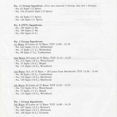
Westkapelle, October 3, 1944
Tags: 1 Group; 100 Squadron; 101 Squadron; 103 Squadron; 105 Squadron; 109 Squadron; 115 Squadron; 12 Squadron; 149 Squadron; 15 Squadron; 166 Squadron; 218 Squadron; 3 Group; 300 Squadron; 460 Squadron; 514 Squadron; 550 Squadron; 576 Squadron; 582 Squadron; 617 Squadron; 622 Squadron; 625 Squadron; 626 Squadron; 75 Squadron; 90 Squadron; bombing; Lancaster; Mosquito; Pathfinders; RAF Binbrook; RAF Elsham Wolds; RAF Faldingworth; RAF Grimsby; RAF Kelstern; RAF Kirmington; RAF Ludford Magna; RAF Mepal; RAF Methwold; RAF Mildenhall; RAF North Killingholme; RAF Tuddenham; RAF Waterbeach; RAF Wickenby; RAF Witchford; RAF Woodhall Spa; Spitfire
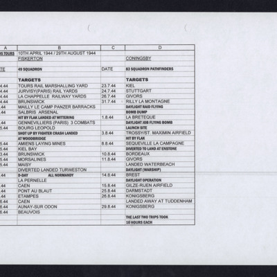
Alan Edgar's Operations
Tags: 49 Squadron; 83 Squadron; bombing of Luftwaffe night-fighter airfields (15 August 1944); Bombing of Mailly-le-Camp (3/4 May 1944); bombing of the Juvisy, Noisy-le-Sec and Le Bourget railways (18/19 April 1944); bombing of the Normandy coastal batteries (5/6 June 1944); Bombing of Trossy St Maximin (3 August 1944); mine laying; Normandy campaign (6 June – 21 August 1944); Pathfinders; RAF Coningsby; RAF Fiskerton; RAF Tuddenham; RAF Waterbeach; RAF Woodbridge; V-1; V-weapon
Alexander Gilbert’s navigator’s, air bomber’s and air gunner’s flying log book
Tags: 149 Squadron; 1661 HCU; 514 Squadron; 9 Squadron; aircrew; Anson; B-17; bombing; bombing of Dresden (13 - 15 February 1945); bombing of Hamburg (24-31 July 1943); C-47; Cook’s tour; flight engineer; Heavy Conversion Unit; Lancaster; Lancaster Finishing School; Lancaster Mk 1; Lancaster Mk 2; Lancaster Mk 3; Manchester; Operation Dodge (1945); Operation Exodus (1945); Operation Manna (29 Apr – 8 May 1945); Oxford; RAF Bardney; RAF Feltwell; RAF Foulsham; RAF Methwold; RAF Stradishall; RAF Tuddenham; RAF Waterbeach; RAF Watton; RAF Winthorpe; RAF Woolfox Lodge; training; York
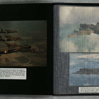
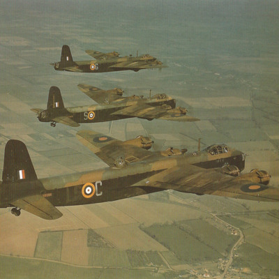
Three Stirlings
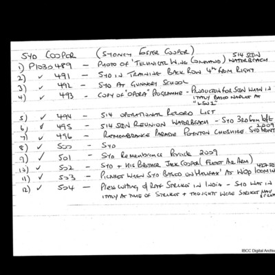
List of Syd Cooper Photographs
This item was sent to the IBCC Digital Archive already in digital form. No better quality copies are available.
Tags: 427 Squadron; 514 Squadron; Halifax; RAF Waterbeach
Formation of three Stirlings Mk 1s with 1651 Heavy Conversion Unit
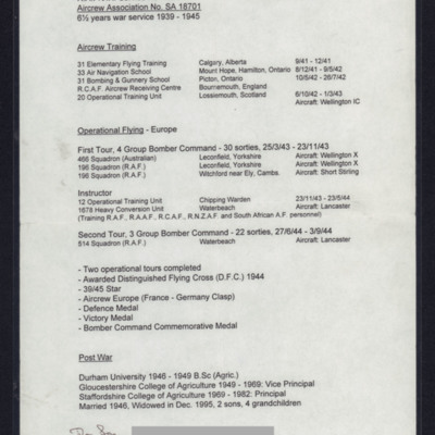
Fred Say Biography
Book 5, Return to UK
Tags: 115 Squadron; 149 Squadron; 1678 HCU; 196 Squadron; 199 Squadron; 214 Squadron; 218 Squadron; 30 OTU; 514 Squadron; 623 Squadron; 90 Squadron; Advanced Flying Unit; aerial photograph; air gunner; aircrew; Anson; anti-aircraft fire; B-17; bale out; bomb aimer; bombing; Catalina; Conspicuous Gallantry Medal; crewing up; Distinguished Flying Cross; Distinguished Flying Medal; entertainment; fear; flight engineer; Gee; ground personnel; Halifax; Heavy Conversion Unit; Hurricane; incendiary device; Ju 88; Lancaster; Lancaster Mk 2; Me 110; military living conditions; military service conditions; mine laying; Mosquito; navigator; Navy, Army and Air Force Institute; Nissen hut; Operational Training Unit; Pathfinders; pilot; RAF Chedburgh; RAF Downham Market; RAF Halfpenny Green; RAF Hixon; RAF Lindholme; RAF Lossiemouth; RAF Seighford; RAF Tangmere; RAF Tuddenham; RAF Warboys; RAF Waterbeach; RAF Witchford; RAF Woolfox Lodge; Red Cross; sanitation; searchlight; Stirling; target indicator; target photograph; training; Typhoon; Victoria Cross; Wellington; wireless operator; Women’s Auxiliary Air Force
David Geach's flying log book for aircrew other than pilot
Tags: 115 Squadron; 1665 HCU; 1678 HCU; 30 OTU; 623 Squadron; 7 Squadron; Advanced Flying Unit; aircrew; Anson; anti-aircraft fire; Bolingbroke; bomb aimer; bombing; Bombing and Gunnery School; Heavy Conversion Unit; Ju 88; killed in action; Lancaster; Lancaster Mk 2; Lincoln; Me 110; mine laying; Operational Training Unit; prisoner of war; propaganda; RAF Downham Market; RAF Halfpenny Green; RAF Hixon; RAF Upwood; RAF Waterbeach; RAF Witchford; RAF Woolfox Lodge; RCAF Rivers; shot down; Stirling; training; Wellington


![MMoffatJ[Ser#-DoB]-151020-01-02.pdf MMoffatJ[Ser#-DoB]-151020-01-02.pdf](https://ibccdigitalarchive.lincoln.ac.uk/omeka/files/square_thumbnails/1613/24535/MMoffatJ[Ser -DoB]-151020-01-02.jpg)
