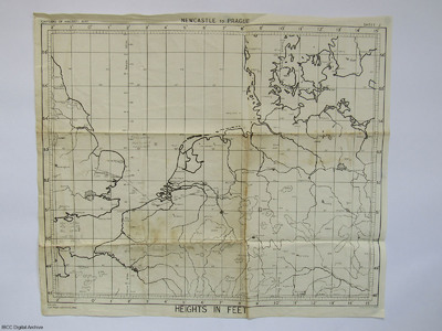
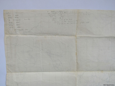
Planning Chart from Waterbeach to Duisburg to Mepal
Title
Planning Chart from Waterbeach to Duisburg to Mepal
Description
A planning chart from Waterbeach to Duisburg then returning to Mepal. On the reverse are annotations about heights and the use of window.
Spatial Coverage
Language
Format
One printed chart with handwritten annotations
Publisher
Rights
This content is available under a CC BY-NC 4.0 International license (Creative Commons Attribution-NonCommercial 4.0). It has been published ‘as is’ and may contain inaccuracies or culturally inappropriate references that do not necessarily reflect the official policy or position of the University of Lincoln or the International Bomber Command Centre. For more information, visit https://creativecommons.org/licenses/by-nc/4.0/ and https://ibccdigitalarchive.lincoln.ac.uk/omeka/legal.
Identifier
SFordTA1585520v20016-0001,
SFordTA1585520v20016-0002
SFordTA1585520v20016-0002
Collection
Citation
“Planning Chart from Waterbeach to Duisburg to Mepal,” IBCC Digital Archive, accessed November 13, 2024, https://ibccdigitalarchive.lincoln.ac.uk/omeka/collections/document/24235.
Item Relations
This item has no relations.


