Browse Items (1442 total)
- Tags: aerial photograph
Kiel
Nordstern
Note from the Navigation Officer 'Satisfactory. Why not use 40[degree] method…
Gelsenkirchen (Buer) and Le Havre
Interview with Ian Petrie
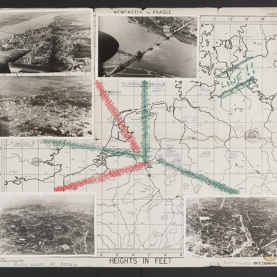
Map and photographs of targets
Tags: aerial photograph; bombing; Cook’s tour
A retrospective - Bomber Command No 625 Squadron
Tags: 1 Group; 625 Squadron; Advanced Flying Unit; aerial photograph; Air Observers School; aircrew; Anson; bombing; briefing; coping mechanism; crewing up; debriefing; Gee; ground personnel; H2S; Halifax; intelligence officer; Lancaster; love and romance; military living conditions; military service conditions; mine laying; Morse-keyed wireless telegraphy; navigator; Nissen hut; nose art; Operation Exodus (1945); Operation Manna (29 Apr – 8 May 1945); Operational Training Unit; P-51; RAF Heaton Park; RAF Husbands Bosworth; RAF Kelstern; RAF Millom; RAF Scampton; RAF Sturgate; searchlight; target photograph; training; V-2; V-weapon; Wellington; Window; Women’s Auxiliary Air Force
Leslie Alfred Davies and crew
Tags: 10 Squadron; 14 OTU; 1654 HCU; 50 Squadron; 6 BFTS; Advanced Flying Unit; aerial photograph; air gunner; Air Gunnery School; aircrew; Anson; anti-aircraft fire; Bolingbroke; bomb aimer; bomb trolley; bombing; bombing of Dresden (13 - 15 February 1945); Bombing of Trossy St Maximin (3 August 1944); British Flying Training School Program; C-47; crash; Distinguished Flying Cross; FIDO; flight engineer; Flying Training School; George VI, King of Great Britain (1895-1952); ground crew; Halifax; Heavy Conversion Unit; incendiary device; Ju 88; killed in action; Lancaster; Lancaster Finishing School; Lancaster Mk 1; Me 262; memorial; military service conditions; missing in action; Mosquito; navigator; Normandy campaign (6 June – 21 August 1944); Operational Training Unit; petrol bowser; pilot; RAF Banff; RAF Barrow in Furness; RAF Husbands Bosworth; RAF Llandwrog; RAF Madley; RAF Skellingthorpe; RAF St Athan; RAF Syerston; RAF Wigsley; reconnaissance photograph; service vehicle; Stirling; target indicator; training; V-1; V-weapon; Wellington
Siegen - Communications
Vohwinkel -Marshalling Yards
Vohwinkel Marshalling Yards
Hamm
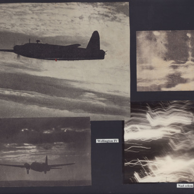
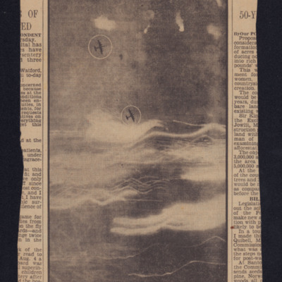
Wellingtons Over the Target
Photo 2 is a Wellington landing at night.
Photo 3 is a vertical aerial photograph with two Wellingtons. No detail is visible on the ground due to cloud and anti-aircraft fire.
Photo 4 is a…
Interview with Fred Crawley DFC
Tags: 139 Squadron; 158 Squadron; aerial photograph; aircrew; bombing; bombing of Dresden (13 - 15 February 1945); Churchill, Winston (1874-1965); crash; Distinguished Flying Cross; entertainment; Gee; ground personnel; Guinea Pig Club; H2S; Halifax; Harris, Arthur Travers (1892-1984); medical officer; Mosquito; navigator; Operational Training Unit; Pathfinders; perception of bombing war; RAF Benson; RAF Blyton; RAF hospital Rauceby; RAF Marston Moor; RAF Penrhos; RAF Upwood; RAF Warboys; superstition; target photograph; training
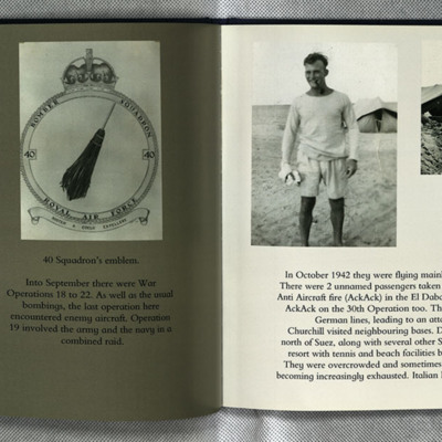
Sam Saunder's Operations
Photo 1 is a vertical aerial photograph partly obscured by tracer fire.
Photo 2 is the 40 squadron crest.
Photo 3 is Sam in shorts and tee shirt in front of a…
I Flew with Nine Wing Commanders
Tags: 12 Squadron; 153 Squadron; 50 Squadron; aerial photograph; aircrew; Anson; anti-aircraft fire; Battle; Beaufighter; Blenheim; bombing; Cook’s tour; coping mechanism; crash; crewing up; debriefing; dispersal; Distinguished Flying Medal; Do 217; entertainment; final resting place; fitter airframe; fitter engine; flight engineer; fuelling; ground crew; Halifax; Halifax Mk 1; Halifax Mk 3; He 111; Heavy Conversion Unit; incendiary device; Lancaster; Lancaster Finishing School; Lancaster Mk 1; Lancaster Mk 3; Lincoln; mess; military ethos; military living conditions; military service conditions; mine laying; Navy, Army and Air Force Institute; Nissen hut; nose art; Operation Dodge (1945); Operation Manna (29 Apr – 8 May 1945); pilot; promotion; RAF Cosford; RAF Faldingworth; RAF Halton; RAF Hemswell; RAF Kirmington; RAF Llandwrog; RAF Scampton; RAF St Athan; RAF Sturgate; RAF Tilstock; RAF Waddington; RAF Wickenby; recruitment; target photograph; training; Whitley; Window
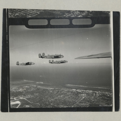
Three B-25 Mitchells in Flight
Tags: aerial photograph; B-25
Axis research station destroyed
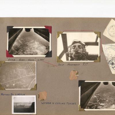
Aerial views of Lincoln
Photo 1 and 5 are views under the aircraft. Photo 1 is captioned 'Bomb bay view 4000' .
Photo 2 is K Watson in flying helmet and oxygen mask, captioned 'Self portrait ?!!'.
Photo 3 is a vertical photo…
Tags: aerial photograph; aircrew; Stirling
Nieuwerkerk
Tags: aerial photograph; C-47
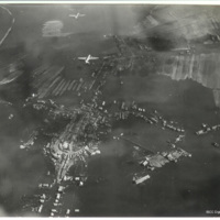
Glider landing zone at Arnhem
Tags: aerial photograph; Horsa
Glider landing zone at Arnhem
The photo…
Tags: aerial photograph; Horsa
Cap Gris Nez
Identification…
Tags: aerial photograph; RAF Earls Colne
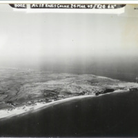
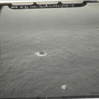
Rockall islet
The description of this item is partially based on information provided by the donor. This item was sent to…
Tags: aerial photograph; RAF Earls Colne
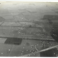
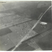
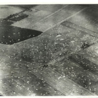
Operation Market Garden parachute drop zone
Tags: aerial photograph

