Browse Items (26 total)
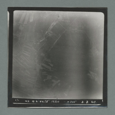
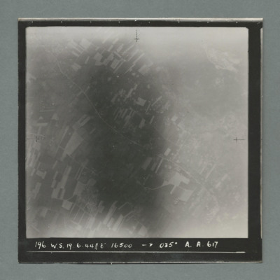
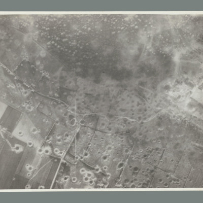
- Tags: bombing of the Watten V-2 site (19 June 1944)
Interview with John Richard Bell
Tags: 617 Squadron; aircrew; anti-aircraft fire; bomb aimer; bombing; bombing of the Mimoyecques V-3 site (6 July 1944); Bombing of the Saumur tunnel (8/9 June 1944); bombing of the Watten V-2 site (19 June 1944); bombing of the Wizernes V-2 site (20, 22, 24 June 1944); Cheshire, Geoffrey Leonard (1917-1992); Grand Slam; Lancaster; Normandy campaign (6 June – 21 August 1944); Tallboy; V-1; V-2; V-3; V-weapon; Wallis, Barnes Neville (1887-1979)
Ernie Twells’ navigator’s, air bomber’s and air gunner’s flying log book
Tags: 1660 HCU; 617 Squadron; 619 Squadron; aircrew; bombing; bombing of Hamburg (24-31 July 1943); bombing of Kassel (22/23 October 1943); bombing of the Boulogne E-boats (15/16 June 1944); bombing of the Juvisy, Noisy-le-Sec and Le Bourget railways (18/19 April 1944); bombing of the Le Havre E-boat pens (14/15 June 1944); Bombing of the Saumur tunnel (8/9 June 1944); bombing of the Siracourt V-weapon site (25 June 1944); bombing of the Watten V-2 site (19 June 1944); bombing of the Wizernes V-2 site (20, 22, 24 June 1944); bombing of Toulouse (5/6 April 1944); C-47; flight engineer; Heavy Conversion Unit; Lancaster; Normandy campaign (6 June – 21 August 1944); Normandy deception operations (5/6 June 1944); Operation Catechism (12 November 1944); Operational Training Unit; RAF Bramcote; RAF Swinderby; RAF Woodhall Spa; Tirpitz; training; Wellington
Donald Chinery’s flying log book for observers and air gunners
Tags: 16 OTU; 1651 HCU; 17 OTU; 196 Squadron; 61 Squadron; Advanced Flying Unit; air gunner; Air Gunnery School; aircrew; bombing; Bombing of Mailly-le-Camp (3/4 May 1944); bombing of Nuremberg (30 / 31 March 1944); bombing of the Juvisy, Noisy-le-Sec and Le Bourget railways (18/19 April 1944); bombing of the Normandy coastal batteries (5/6 June 1944); bombing of the Pas de Calais V-1 sites (24/25 June 1944); bombing of the Watten V-2 site (19 June 1944); Cook’s tour; Heavy Conversion Unit; Me 109; mid-air collision; Normandy campaign (6 June – 21 August 1944); Operational Training Unit; RAF Barford St John; RAF Barrow in Furness; RAF Coningsby; RAF Finningley; RAF Llandwrog; RAF Newmarket; RAF Silverstone; RAF Skellingthorpe; RAF Turweston; RAF Waterbeach; RAF Witchford; tactical support for Normandy troops; training
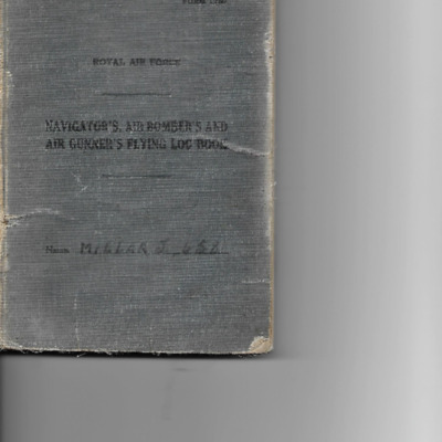
J Millar’s navigator’s, air bomber’s and air gunner’s flying log book
Tags: 1657 HCU; 61 Squadron; 620 Squadron; air gunner; Air Gunnery School; aircrew; Blenheim; bombing; Bombing of Mailly-le-Camp (3/4 May 1944); bombing of Nuremberg (30 / 31 March 1944); bombing of the Juvisy, Noisy-le-Sec and Le Bourget railways (18/19 April 1944); bombing of the Normandy coastal batteries (5/6 June 1944); bombing of the Pas de Calais V-1 sites (24/25 June 1944); bombing of the Watten V-2 site (19 June 1944); Heavy Conversion Unit; Lancaster; Me 109; Normandy campaign (6 June – 21 August 1944); RAF Coningsby; RAF Leicester East; RAF Newmarket; RAF Pembrey; RAF Skellingthorpe; RAF Stradishall; Stirling; tactical support for Normandy troops; training; Wellington
Len Curtis' Flying Log Book
Served at RAF Dumfries, RAF…
Tags: 106 Squadron; 1660 HCU; 29 OTU; 617 Squadron; 630 Squadron; Advanced Flying Unit; aircrew; Anson; bomb aimer; bombing of Kassel (22/23 October 1943); bombing of the Boulogne E-boats (15/16 June 1944); bombing of the Le Havre E-boat pens (14/15 June 1944); Bombing of the Saumur tunnel (8/9 June 1944); bombing of the Watten V-2 site (19 June 1944); bombing of the Wizernes V-2 site (20, 22, 24 June 1944); bombing of Toulouse (5/6 April 1944); Botha; Heavy Conversion Unit; Lancaster; Manchester; missing in action; Normandy campaign (6 June – 21 August 1944); Normandy deception operations (5/6 June 1944); Operational Training Unit; RAF Dumfries; RAF East Kirkby; RAF North Luffenham; RAF Swinderby; RAF Syerston; RAF Woodhall Spa; Tallboy; Tiger Moth; training; Wellington
A bomber pilot’s journey through WWII
Tags: 11 OTU; 1660 HCU; 1668 HCU; 196 Squadron; 214 Squadron; 5 Group; 617 Squadron; 8 Group; aircrew; Bennett, Donald Clifford Tyndall (1910-1986); bombing; bombing of the Boulogne E-boats (15/16 June 1944); bombing of the Creil/St Leu d’Esserent V-1 storage areas (4/5 July 1944); bombing of the Juvisy, Noisy-le-Sec and Le Bourget railways (18/19 April 1944); bombing of the Le Havre E-boat pens (14/15 June 1944); bombing of the Mimoyecques V-3 site (6 July 1944); Bombing of the Saumur tunnel (8/9 June 1944); bombing of the Siracourt V-weapon site (25 June 1944); bombing of the Watten V-2 site (19 June 1944); bombing of the Wizernes V-2 site (20, 22, 24 June 1944); bombing of Toulouse (5/6 April 1944); Boston; C-47; Chadwick, Roy (1893-1947); Cheshire, Geoffrey Leonard (1917-1992); crash; Distinguished Flying Cross; Distinguished Service Order; final resting place; Flying Training School; Gibson, Guy Penrose (1918-1944); Grand Slam; grief; H2S; Halifax; Halifax Mk 3; Harvard; Heavy Conversion Unit; incendiary device; Lancaster; Lancaster Finishing School; Lincoln; Meteor; Mosquito; Normandy campaign (6 June – 21 August 1944); Normandy deception operations (5/6 June 1944); Oboe; Operational Training Unit; Oxford; P-51; Pathfinders; pilot; promotion; RAF Bassingbourn; RAF Boscombe Down; RAF Church Lawford; RAF Coningsby; RAF Cranage; RAF Cranwell; RAF Driffield; RAF Leconfield; RAF Stradishall; RAF Swinderby; RAF Syerston; RAF Upavon; RAF Wainfleet; RAF Woodhall Spa; Spitfire; Stirling; Tallboy; Tiger Moth; training; V-1; V-2; V-3; V-weapon; Wallis, Barnes Neville (1887-1979); Wellington
Rear view - Ralph Briars memoir
Tags: 1661 HCU; 49 Squadron; 617 Squadron; air gunner; Air Gunnery School; aircrew; Anson; anti-aircraft fire; bombing; bombing of Nuremberg (30 / 31 March 1944); bombing of the Boulogne E-boats (15/16 June 1944); bombing of the Creil/St Leu d’Esserent V-1 storage areas (4/5 July 1944); bombing of the Juvisy, Noisy-le-Sec and Le Bourget railways (18/19 April 1944); bombing of the Le Havre E-boat pens (14/15 June 1944); Bombing of the Saumur tunnel (8/9 June 1944); bombing of the Watten V-2 site (19 June 1944); control caravan; control tower; Cook’s tour; crewing up; Distinguished Flying Cross; Distinguished Flying Medal; Halifax; Heavy Conversion Unit; Lancaster; Lancaster Mk 2; Me 109; mid-air collision; Mosquito; Normandy campaign (6 June – 21 August 1944); Normandy deception operations (5/6 June 1944); Operational Training Unit; RAF Cottesmore; RAF Dalcross; RAF Fiskerton; RAF Husbands Bosworth; RAF Linton on Ouse; RAF Market Harborough; RAF Winthorpe; RAF Woodhall Spa; Scarecrow; searchlight; service vehicle; Tallboy; Tirpitz; training; V-weapon; Wellington; Window
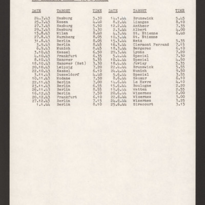
Ernie Twells' Operations
Tags: 617 Squadron; 619 Squadron; bombing; bombing of Hamburg (24-31 July 1943); bombing of Kassel (22/23 October 1943); bombing of the Boulogne E-boats (15/16 June 1944); bombing of the Juvisy, Noisy-le-Sec and Le Bourget railways (18/19 April 1944); bombing of the Le Havre E-boat pens (14/15 June 1944); Bombing of the Saumur tunnel (8/9 June 1944); bombing of the Siracourt V-weapon site (25 June 1944); bombing of the Watten V-2 site (19 June 1944); bombing of the Wizernes V-2 site (20, 22, 24 June 1944); Normandy campaign (6 June – 21 August 1944); Normandy deception operations (5/6 June 1944)
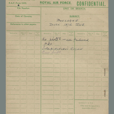
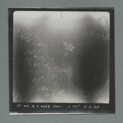
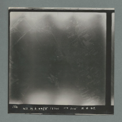
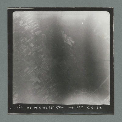
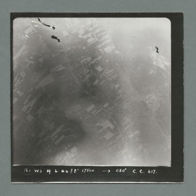
Royal Air Force file cover - constructional works Watten, day 19 June
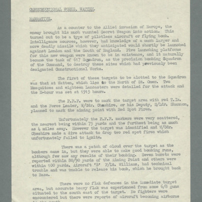
Constructional works Watten - narrative
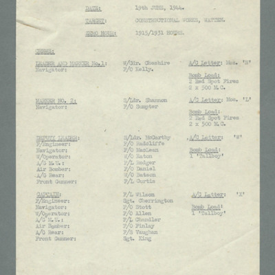
Crew list for Watten operation
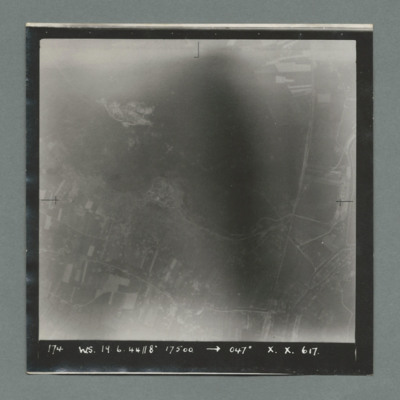
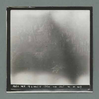
Watten
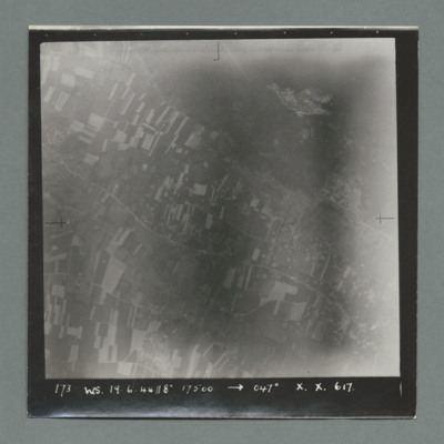
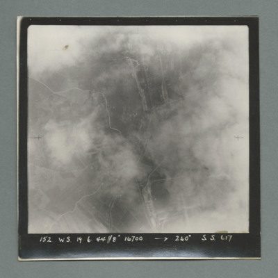
Watten
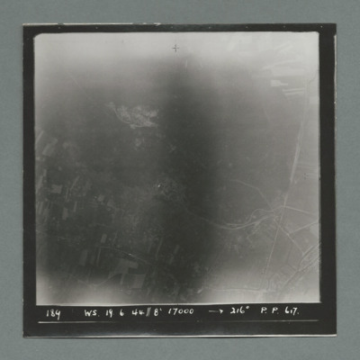
Watten
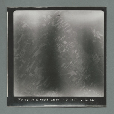
Watten
Watten
Watten
Watten
Watten
Watten
Watten
Watten
Watten
Watten
V Group News, June 1944
Tags: 5 Group; 617 Squadron; 627 Squadron; 83 Squadron; 97 Squadron; air gunner; air sea rescue; aircrew; bomb aimer; bomb dump; bombing; bombing of the Boulogne E-boats (15/16 June 1944); bombing of the Le Havre E-boat pens (14/15 June 1944); bombing of the Normandy coastal batteries (5/6 June 1944); Bombing of the Saumur tunnel (8/9 June 1944); bombing of the Siracourt V-weapon site (25 June 1944); bombing of the Watten V-2 site (19 June 1944); bombing of the Wizernes V-2 site (20, 22, 24 June 1944); Distinguished Flying Cross; Distinguished Flying Medal; ditching; flight engineer; Gee; H2S; Heavy Conversion Unit; Lancaster; mine laying; navigator; Normandy campaign (6 June – 21 August 1944); pilot; radar; RAF Dunholme Lodge; RAF Scampton; RAF Swinderby; RAF Syerston; rivalry; service vehicle; tactical support for Normandy troops; tractor; training; wireless operator


