Browse Items (25 total)
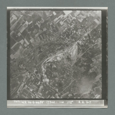
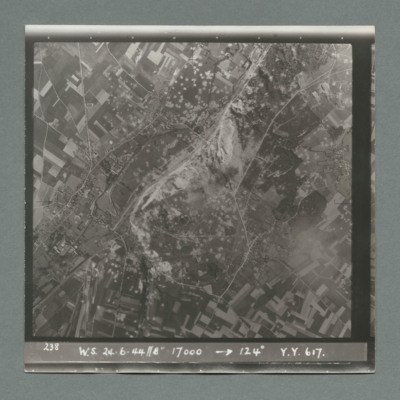
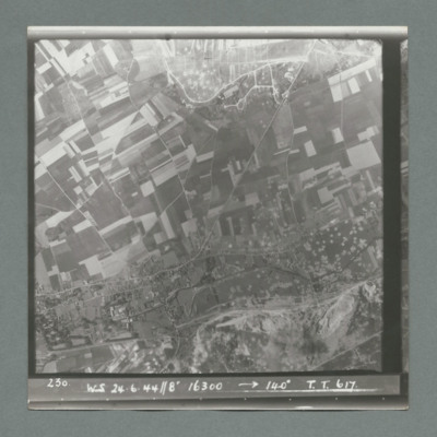
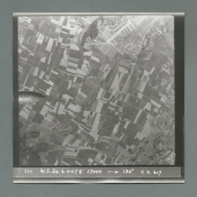
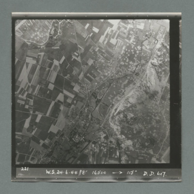
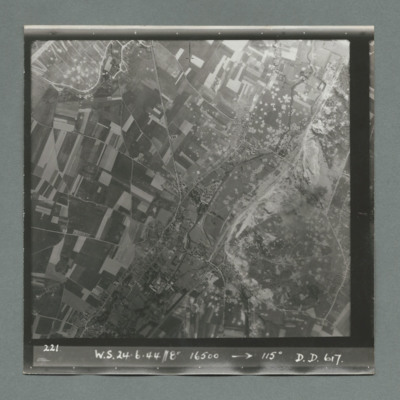
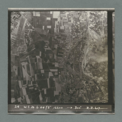
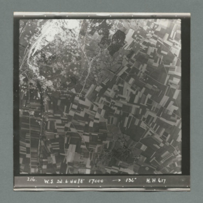
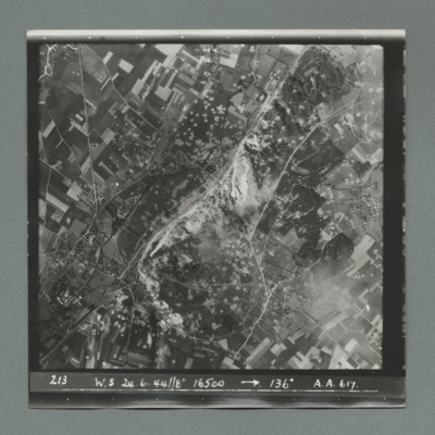
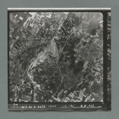
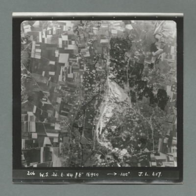
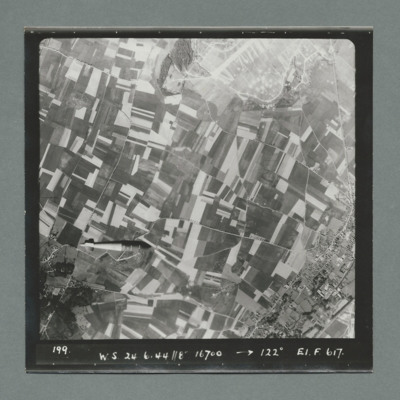
- Tags: bombing of the Wizernes V-2 site (20, 22, 24 June 1944)
Len Curtis' Flying Log Book
Served at RAF Dumfries, RAF…
Tags: 106 Squadron; 1660 HCU; 29 OTU; 617 Squadron; 630 Squadron; Advanced Flying Unit; aircrew; Anson; bomb aimer; bombing of Kassel (22/23 October 1943); bombing of the Boulogne E-boats (15/16 June 1944); bombing of the Le Havre E-boat pens (14/15 June 1944); Bombing of the Saumur tunnel (8/9 June 1944); bombing of the Watten V-2 site (19 June 1944); bombing of the Wizernes V-2 site (20, 22, 24 June 1944); bombing of Toulouse (5/6 April 1944); Botha; Heavy Conversion Unit; Lancaster; Manchester; missing in action; Normandy campaign (6 June – 21 August 1944); Normandy deception operations (5/6 June 1944); Operational Training Unit; RAF Dumfries; RAF East Kirkby; RAF North Luffenham; RAF Swinderby; RAF Syerston; RAF Woodhall Spa; Tallboy; Tiger Moth; training; Wellington
A bomber pilot’s journey through WWII
Tags: 11 OTU; 1660 HCU; 1668 HCU; 196 Squadron; 214 Squadron; 5 Group; 617 Squadron; 8 Group; aircrew; Bennett, Donald Clifford Tyndall (1910-1986); bombing; bombing of the Boulogne E-boats (15/16 June 1944); bombing of the Creil/St Leu d’Esserent V-1 storage areas (4/5 July 1944); bombing of the Juvisy, Noisy-le-Sec and Le Bourget railways (18/19 April 1944); bombing of the Le Havre E-boat pens (14/15 June 1944); bombing of the Mimoyecques V-3 site (6 July 1944); Bombing of the Saumur tunnel (8/9 June 1944); bombing of the Siracourt V-weapon site (25 June 1944); bombing of the Watten V-2 site (19 June 1944); bombing of the Wizernes V-2 site (20, 22, 24 June 1944); bombing of Toulouse (5/6 April 1944); Boston; C-47; Chadwick, Roy (1893-1947); Cheshire, Geoffrey Leonard (1917-1992); crash; Distinguished Flying Cross; Distinguished Service Order; final resting place; Flying Training School; Gibson, Guy Penrose (1918-1944); Grand Slam; grief; H2S; Halifax; Halifax Mk 3; Harvard; Heavy Conversion Unit; incendiary device; Lancaster; Lancaster Finishing School; Lincoln; Meteor; Mosquito; Normandy campaign (6 June – 21 August 1944); Normandy deception operations (5/6 June 1944); Oboe; Operational Training Unit; Oxford; P-51; Pathfinders; pilot; promotion; RAF Bassingbourn; RAF Boscombe Down; RAF Church Lawford; RAF Coningsby; RAF Cranage; RAF Cranwell; RAF Driffield; RAF Leconfield; RAF Stradishall; RAF Swinderby; RAF Syerston; RAF Upavon; RAF Wainfleet; RAF Woodhall Spa; Spitfire; Stirling; Tallboy; Tiger Moth; training; V-1; V-2; V-3; V-weapon; Wallis, Barnes Neville (1887-1979); Wellington
V Group News, November 1944
Tags: 5 Group; 617 Squadron; 9 Squadron; air gunner; aircrew; bomb aimer; bombing; bombing of the Boulogne E-boats (15/16 June 1944); bombing of the Creil/St Leu d’Esserent V-1 storage areas (4/5 July 1944); bombing of the Mimoyecques V-3 site (6 July 1944); bombing of the Watten V-2 site (19 June 1944); bombing of the Wizernes V-2 site (20, 22, 24 June 1944); Distinguished Flying Cross; Distinguished Flying Medal; flight engineer; Gee; gremlin; H2S; Lancaster; Lancaster Finishing School; mine laying; navigator; Normandy campaign (6 June – 21 August 1944); Oboe; Operation Catechism (12 November 1944); pilot; radar; rivalry; Tallboy; Tirpitz; training; wireless operator
V Group News, June 1944
Tags: 5 Group; 617 Squadron; 627 Squadron; 83 Squadron; 97 Squadron; air gunner; air sea rescue; aircrew; bomb aimer; bomb dump; bombing; bombing of the Boulogne E-boats (15/16 June 1944); bombing of the Le Havre E-boat pens (14/15 June 1944); bombing of the Normandy coastal batteries (5/6 June 1944); Bombing of the Saumur tunnel (8/9 June 1944); bombing of the Siracourt V-weapon site (25 June 1944); bombing of the Watten V-2 site (19 June 1944); bombing of the Wizernes V-2 site (20, 22, 24 June 1944); Distinguished Flying Cross; Distinguished Flying Medal; ditching; flight engineer; Gee; H2S; Heavy Conversion Unit; Lancaster; mine laying; navigator; Normandy campaign (6 June – 21 August 1944); pilot; radar; RAF Dunholme Lodge; RAF Scampton; RAF Swinderby; RAF Syerston; rivalry; service vehicle; tactical support for Normandy troops; tractor; training; wireless operator
Siracourt & Wizernes
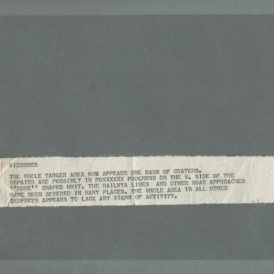
Wizernes
Wizernes
Wizernes
Wizernes
Wizernes
Wizernes
Wizernes
Wizernes
Wizernes
Wizernes
Wizernes
Wizernes
Wizernes
Wizernes
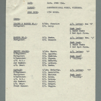
Crew list for Wizernes operation
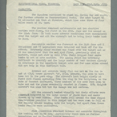
Constructional works, Wizernes, days 20th, 22nd, 24th June, narrative
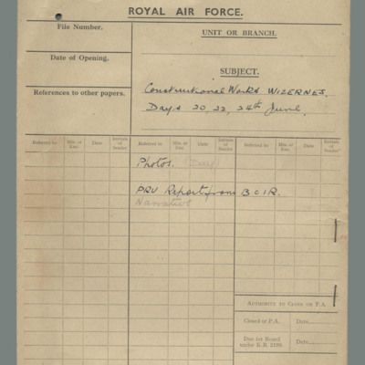
Royal Air Force file cover - constructional works Wizernes, days 20, 22, 24 June
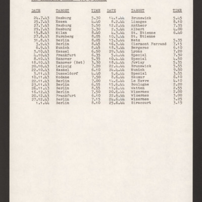
Ernie Twells' Operations
Tags: 617 Squadron; 619 Squadron; bombing; bombing of Hamburg (24-31 July 1943); bombing of Kassel (22/23 October 1943); bombing of the Boulogne E-boats (15/16 June 1944); bombing of the Juvisy, Noisy-le-Sec and Le Bourget railways (18/19 April 1944); bombing of the Le Havre E-boat pens (14/15 June 1944); Bombing of the Saumur tunnel (8/9 June 1944); bombing of the Siracourt V-weapon site (25 June 1944); bombing of the Watten V-2 site (19 June 1944); bombing of the Wizernes V-2 site (20, 22, 24 June 1944); Normandy campaign (6 June – 21 August 1944); Normandy deception operations (5/6 June 1944)
Ernie Twells’ navigator’s, air bomber’s and air gunner’s flying log book
Tags: 1660 HCU; 617 Squadron; 619 Squadron; aircrew; bombing; bombing of Hamburg (24-31 July 1943); bombing of Kassel (22/23 October 1943); bombing of the Boulogne E-boats (15/16 June 1944); bombing of the Juvisy, Noisy-le-Sec and Le Bourget railways (18/19 April 1944); bombing of the Le Havre E-boat pens (14/15 June 1944); Bombing of the Saumur tunnel (8/9 June 1944); bombing of the Siracourt V-weapon site (25 June 1944); bombing of the Watten V-2 site (19 June 1944); bombing of the Wizernes V-2 site (20, 22, 24 June 1944); bombing of Toulouse (5/6 April 1944); C-47; flight engineer; Heavy Conversion Unit; Lancaster; Normandy campaign (6 June – 21 August 1944); Normandy deception operations (5/6 June 1944); Operation Catechism (12 November 1944); Operational Training Unit; RAF Bramcote; RAF Swinderby; RAF Woodhall Spa; Tirpitz; training; Wellington
Interview with John Richard Bell
Tags: 617 Squadron; aircrew; anti-aircraft fire; bomb aimer; bombing; bombing of the Mimoyecques V-3 site (6 July 1944); Bombing of the Saumur tunnel (8/9 June 1944); bombing of the Watten V-2 site (19 June 1944); bombing of the Wizernes V-2 site (20, 22, 24 June 1944); Cheshire, Geoffrey Leonard (1917-1992); Grand Slam; Lancaster; Normandy campaign (6 June – 21 August 1944); Tallboy; V-1; V-2; V-3; V-weapon; Wallis, Barnes Neville (1887-1979)

