Browse Items (703 total)
- Tags: Normandy campaign (6 June – 21 August 1944)
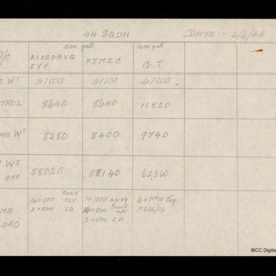
Weight table for all squadron aircraft 6 June 1944
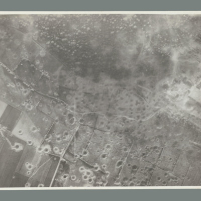
Watten
Watten
Watten
Watten
Watten
Watten
Watten
Watten
Watten
Watten
Watten
Watten
Watten
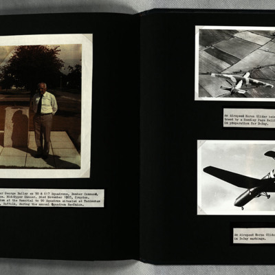
Warrant Officer George Bailey and Horsa Gliders
Photo 2 is a Horsa being towed by a Halifax.
Photo 3 is a Horsa in D-day markings.
War Memoir - George Bilton
Tags: 427 Squadron; 428 Squadron; 434 Squadron; 6 Group; aerial photograph; Air Raid Precautions; aircrew; anti-aircraft fire; bomb aimer; bombing; C-47; civil defence; Cook’s tour; crewing up; flight engineer; Halifax; Heavy Conversion Unit; lack of moral fibre; Lancaster; military discipline; military ethos; military living conditions; military service conditions; mine laying; Normandy campaign (6 June – 21 August 1944); Pathfinders; RAF Bruntingthorpe; RAF Croft; RAF Harwell; RAF Middleton St George; RAF St Athan; RAF Thorney Island; RAF Topcliffe; RAF Warboys; RAF Woodbridge; target indicator; target photograph; training; V-2; V-weapon; Wellington; Window; wireless operator / air gunner
Walter Morris - 1939/45 War Record
Tags: 166 Squadron; 630 Squadron; aircrew; Anson; Bolingbroke; bomb aimer; bomb struck; crash; crewing up; demobilisation; Distinguished Flying Cross; final resting place; flight engineer; killed in action; Lancaster; Lancaster Finishing School; love and romance; military ethos; military living conditions; mine laying; Nissen hut; Normandy campaign (6 June – 21 August 1944); RAF East Kirkby; RAF Kirkham; RAF Kirmington; RAF Manby; RAF North Luffenham; RAF Silverstone; RAF Swinderby; RAF Syerston; RAF Wittering; RCAF Bowden; RCAF Moncton; Stirling; Tiger Moth; training; V-1; V-weapon; Wellington
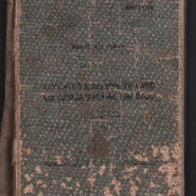
Walter John Smith’s navigator’s, air bomber’s and air gunner’s flying log book
Tags: 12 Squadron; 1656 HCU; 1661 HCU; 27 OTU; 463 Squadron; aircrew; bombing; bombing of Hamburg (24-31 July 1943); Bombing of Peenemünde (17/18 August 1943); Bombing of Trossy St Maximin (3 August 1944); flight engineer; Halifax; Halifax Mk 2; Heavy Conversion Unit; Lancaster; Lancaster Finishing School; Lancaster Mk 1; Lancaster Mk 3; Normandy campaign (6 June – 21 August 1944); Operational Training Unit; RAF Lichfield; RAF Lindholme; RAF Syerston; RAF Waddington; RAF Wickenby; RAF Winthorpe; Stirling; training
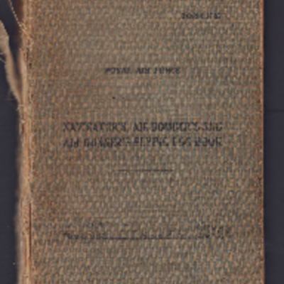
Walter Braithwaite’s Observer’s and Air Gunner’s flying log book
Tags: 10 OTU; 1652 HCU; 171 Squadron; 21 OTU; 24 OTU; 77 Squadron; aircrew; Anson; bale out; Battle; Bolingbroke; bomb aimer; bombing; Bombing and Gunnery School; bombing of the Normandy coastal batteries (5/6 June 1944); Cook’s tour; Halifax; Halifax Mk 2; Halifax Mk 3; Halifax Mk 5; Heavy Conversion Unit; mine laying; navigator; Normandy campaign (6 June – 21 August 1944); Operational Training Unit; Oxford; RAF Elvington; RAF Full Sutton; RAF Honeybourne; RAF Marston Moor; RAF Moreton in the Marsh; RAF North Creake; RAF St Eval; tactical support for Normandy troops; training; Whitley
W Sparkes’ navigator’s, air bomber’s and air gunner’s flying log book
Tags: 1659 HCU; 1668 HCU; 29 OTU; 297 Squadron; 431 Squadron; 85 OTU; aircrew; Anson; bombing of the Normandy coastal batteries (5/6 June 1944); C-47; Dominie; flight engineer; Halifax; Halifax Mk 3; Halifax Mk 5; Halifax Mk 7; Heavy Conversion Unit; Lancaster; Lincoln; Mosquito; Normandy campaign (6 June – 21 August 1944); Operational Training Unit; RAF Bruntingthorpe; RAF Cottesmore; RAF Croft; RAF Dishforth; RAF Husbands Bosworth; RAF Lyneham; RAF Silloth; RAF St Athan; RAF Tholthorpe; RAF Topcliffe; training; Wellington
W J Martin's flying log book
Tags: 1651 HCU; 1660 HCU; 1668 HCU; 5 Group; 57 Squadron; aircrew; Cook’s tour; Distinguished Flying Cross; flight engineer; Fw 190; Gibson, Guy Penrose (1918-1944); Heavy Conversion Unit; Lancaster; Lancaster Finishing School; mine laying; Normandy campaign (6 June – 21 August 1944); RAF Cottesmore; RAF East Kirkby; RAF St Athan; RAF Swinderby; RAF Syerston; RAF Woolfox Lodge; Stirling; tactical support for Normandy troops; Tiger force; training; V-1; V-2; V-weapon
W G Didcote’s South African Air Force observer’s or air gunner’s log book
Tags: 115 Squadron; 1651 HCU; 1653 HCU; 1678 HCU; 17 OTU; 186 Squadron; 218 Squadron; 83 Squadron; 90 Squadron; Advanced Flying Unit; aircrew; Anson; bombing; bombing of Nuremberg (30 / 31 March 1944); bombing of the Le Havre E-boat pens (14/15 June 1944); bombing of the Normandy coastal batteries (5/6 June 1944); Botha; Heavy Conversion Unit; Lancaster; Lancaster Mk 1; Lancaster Mk 2; Lancaster Mk 3; Me 110; navigator; Normandy campaign (6 June – 21 August 1944); Operation Dodge (1945); Operation Exodus (1945); Operational Training Unit; Oxford; RAF Chedburgh; RAF Coningsby; RAF Manby; RAF Millom; RAF Silverstone; RAF Stradishall; RAF Tuddenham; RAF Waterbeach; RAF Witchford; RAF Wratting Common; Stirling; Tiger Moth; training; Wellington
W B Baker’s observers and air gunners flying log book
Tags: 626 Squadron; air gunner; Air Gunnery School; aircrew; Bombing of Mailly-le-Camp (3/4 May 1944); Conspicuous Gallantry Medal; Defiant; Distinguished Flying Cross; forced landing; killed in action; Lancaster; Normandy campaign (6 June – 21 August 1944); RAF Stormy Down; RAF Wickenby; training; Whitley
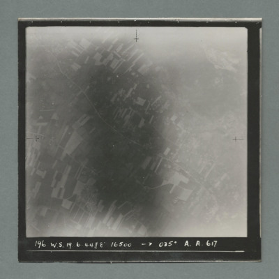
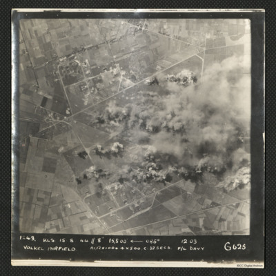
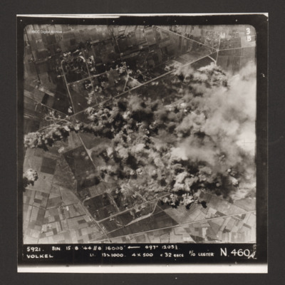
Volkel Airfield
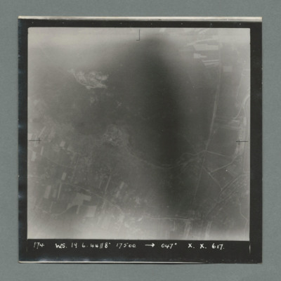
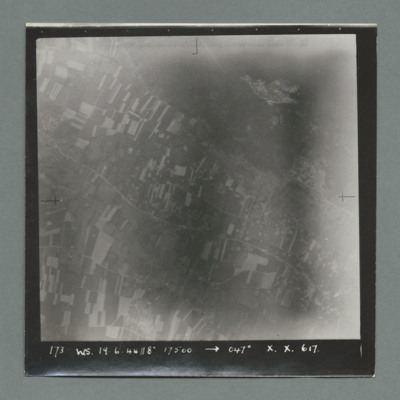
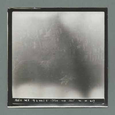
It is captioned '1243 KLS 15.8.44//8" 15,500

