Browse Items (4469 total)

  • Tags: bombing

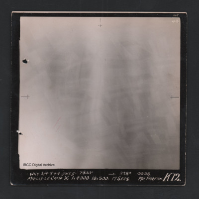
POHaraHF16010028.jpg
Vertical aerial photograph of Mailly-le-Camp. All of the image is obscured by bombs and smoke. Captioned ‘4B 4B’ and 'WKY 3/4.5.44 // NT 8” 7500’ [arrow] 228° 0028 Mailly-le-Camp X 1 x 4000 16 x 500 17secs P/O Farfan K12’.

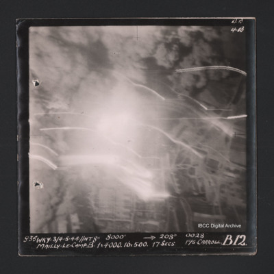
POHaraHF16010032.jpg
Vertical aerial photograph of Mailly-le-Camp. Most of the image is obscured by bombs and smoke. Some roads and the camp can be seen. Captioned ‘4B 4B’ and '835 WKY 3/4.5.44 // NT 8” 8000’ [arrow] 208° 0028 Mailly-le-Camp X 1 x 4000…

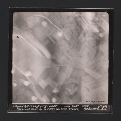
POHaraHF16010033.jpg
Vertical aerial photograph of Mailly-le-Camp. Most of the image is obscured by anti-aircraft fire. Some roads and fields can be seen. Captioned at top right ‘4B 4B’. Captioned along the bottom ‘‘848 WKY 3/4.5.44 // NT 8” 8000’ [arrow]…

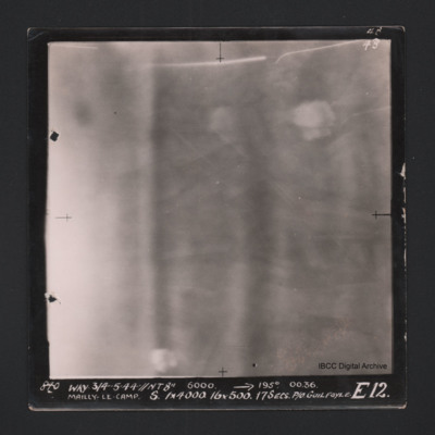
POHaraHF16010035.jpg
Vertical aerial photograph of Mailly-le-Camp. Nothing on the image is very clear, on the left cloud or smoke. Fields and bomb burst elsewhere. Captioned ‘4B 4B’ and '840 WKY 3/4.5.44 // NT 8” 6000’ [arrow] 195° 0036 Mailly-le-Camp X…

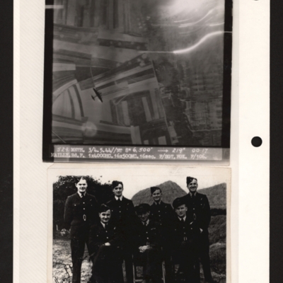
PFOMetheringhamAF19040013.jpg
Top - target photograph showing fields on the left and a built up area with rows of buildings on the right. There is a four engine bomber below bottom left. Captioned '529 METH. 3/4.5.44//NT 8" 6,500' 219 degrees 00.17, MAILY.Rd.F 1x4000HC 16x500MC.…

MPotterPL1878961-150914-07.pdf
Starts with account of operation to Paris on 3 May 1944 when attacked by Me 109 and writes of crew actions. Continues with list of operations giving details of target, anti-aircraft fire, flight time, some bomb loads, events, results. From 3 August…

OThompsonKG12308603-150907-010103.jpg
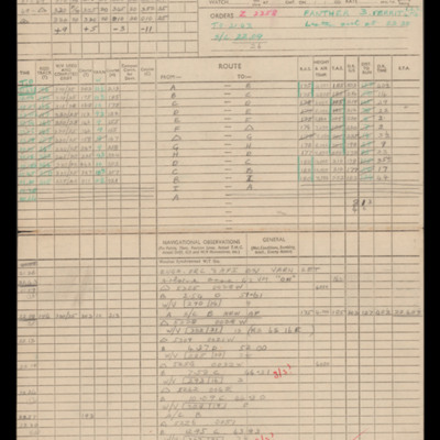
Navigation calculations and chart for operation to Maintenon.

PThomasAF20040038.jpg
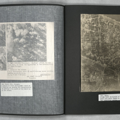
A vertical aerial photograph of Mainz. The
top right of the image shows the Rhine. The
bridge is Theodor-Heuss Brucke. The large
L shaped building to its left is Kurfurstliches
Schloss with various large government
buildings below it. The wide…

YStavesME203137v1.pdf
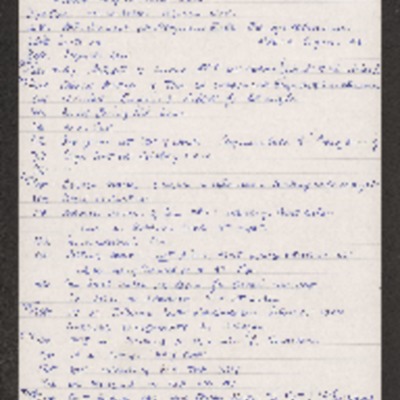
Copy of a day by day diary kept by Malcolm Staves from 26th April 1943 to 6th January 1945. Covers training, lectures, gardening and cleaning tasks. Also covers his social life and home leave.

MStavesME203137-160226-330001.jpg
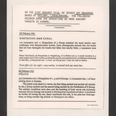
An account of 207 Squadron operations undertaken by Malcolm Staves whilst at RAF Spilsby.

LStavesME203137v10001.jpg
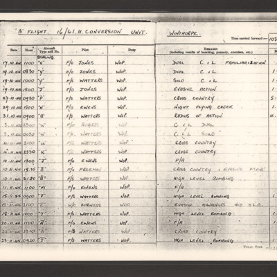
Two pages from Malcolm Staves' log book referring to his training at 1661 Heavy Conversion Unit at RAF Winthorpe.

MStavesME203137-160226-15.pdf
Wireless Operator's (Air) Log Book for operation to Cham 17 April 1945 including call signs, actions, bearings and fixes taken.

PThomasAF20040042.jpg
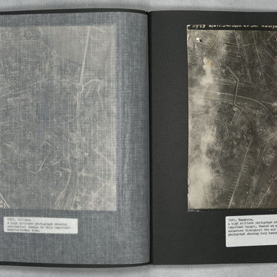
A vertical aerial photograph of Mannheim. The left of the image is shrouded by clouds. The main river running left to right is the Neckar. The spur below it being the Bonadieshafen and the one above it the Verbindungskanal. The road bridge crossing…

CBrittainJT-170725-010002.jpg
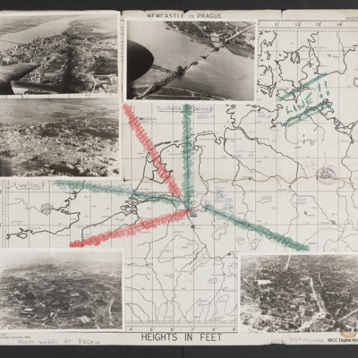
Map (Newcastle to Prague) with five photographs overlaid with lines leading to their locations on map. Top left - a town with destroyed buildings below a wide river with a bridge. Aircraft port outer engine and wingtip visible. Captioned 'Emmerich'.…

PBurnsDR22030021.jpg
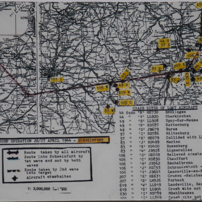
Map showing route to Schweinfurt with numbers (squadron and squadron letter, aircraft registration and location) indicating crash sites of lost aircraft. On the reverse '5 Group Operation to Schweinfurt April 26/27, 1944, Route taken and crash sites…

SJenkinsonLP1316403v10054.jpg
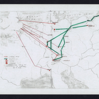
Shows routes on bombing operations (red), journeys by train (green), prison camps, routes walked, shot down, captured. Notes dates liberated and returned to England.

CDaviesM-S-160428-010001.jpg
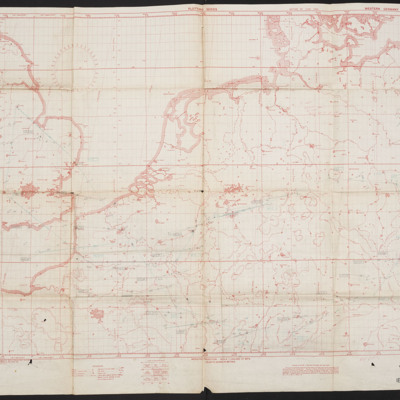
Maps showing England and Western Germany with very faint route to east Germany.

BCleggPVGibsonAv10019.jpg
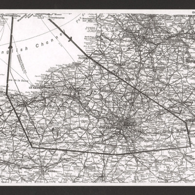
Shows route across English Channel north of Paris to Mailly-le-Camp and return.

SJenkinsonLP1316403v10012.jpg
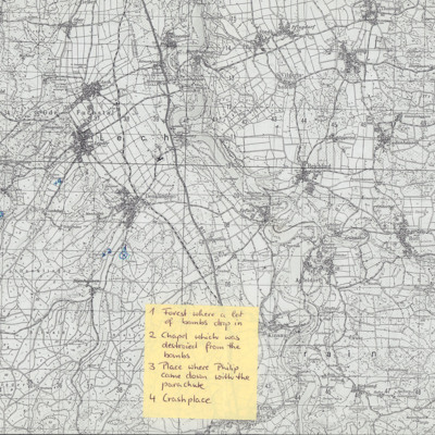
Copy of map with several small villages. Marked with numbered crosses. Annotated '1 Forest where a lot of bombs dropped, 2 Chapel which was destroid [sic] form bombs, 3 place where Philip came down with the parachute, 4 Crash place'.

SGillK1438901v30054-0003.jpg
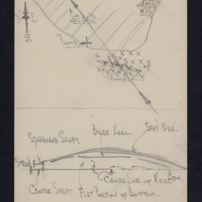
Top - sketch map of Tromsø Fjord with ship and bomb hits marked with x's and track line.
Bottom - annotated diagram sketch of upside down ship.

SGillK1438901v30054-0001.jpg
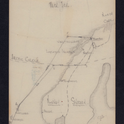
Sketch map showing Norway and Sweden with route marked up the North Sea and into Tromsø and return along similar route.

CBlythTS-170516-010001.jpg
Map from east of England to Germany with routes to numerous targets including Hamburg, Hanover, Magdeburg, Berlin, Leipzig, Duisburg, Essen, Kassel, Cologne, Aachen, Frankfurt, Mannheim, Stuttgart and Paris. A table at bottom right list bomb loads…

BCopusPJCopusPJv10011.jpg
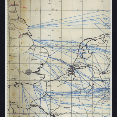
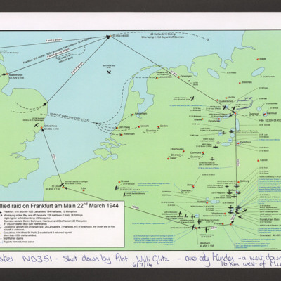
Maps from east England to mid Germany showing details of routes flown during operation to Frankfurt on 22 March 1944. Shows main route and diversions as well as bombers lost. On map 1, Aircraft ND 352 is marked with pen. Caption ' Lancaster ND 351 -…

BDixonMDixonMv1.pdf
13 handwritten pages, Margaret describes in some detail her early life and service in the WAAF as a nurse.

This item was sent to the IBCC Digital Archive already in digital form. No better quality copies are available.

Margarete F's account of the events at Schäfergasse 39.
Output Formats

atom, dc-rdf, dcmes-xml, json, omeka-xml, rss2