Browse Items (280 total)

  • Spatial Coverage is exactly "Atlantic Ocean--English Channel"

OWoolgarRLA908870-160614-020001.jpg
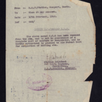
Letter from RAF Gosport regarding Sergeant Reg Woolgar being rescued from the sea and requiring new kit. On reverse, address of an office in London.

EGrayHMGray[Wi]440628.pdf
Starts with suggestion that a recent news film of daylight operation to Le Havre, which he was on, gives a good idea of what bombing is like. However as most of his operations were at night he goes on to describe these. Describes emotions and…

EGrayHMGray[Wi]440801.pdf
Starts with thanks for letter number 3 but complains about lack of letters for a couple of days particularly as he had been on operations. Sets up times for future phone calls. Noted that the crew’s original aircraft had been lost while being flown…

PBaggJG1611-1.jpg
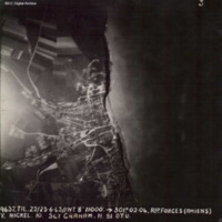
Target photograph showing coastal village of Ault, just south of the Somme estuary. Coastline and beach can be seen, with village to the left with roads radiating out into countryside. Captioned '3, 9637.TIL.22/23.6.43//NT.8" 11000: 301.02.04.…

PBanksP15010006.jpg
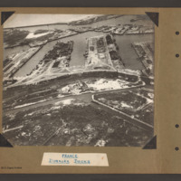
Oblique aerial photograph at low level showing docks, waterways, buildings and other port facilities. No vessels are visible. Across the centre four wide moles numbered 1 to 4 from right to left. The area has been heavily damaged with bomb craters,…

PBanksP15010007.jpg
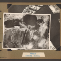
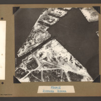
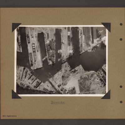
Target photograph of docks at Dunkirk. A body of water stretches from the left side to the top middle with a tidal flats at the left end. From the middle bottom up to the lower bank of the waters is Mole 6 with multiple railway sidings on the left…

PBanksP15010008.jpg
Oblique aerial photograph of Dunkirk docks. The entire area has been extensively bomb damaged. In the bottom half, a triangular shaped area of dockland with roads and railway lines. There are several damaged buildings without roofs and destroyed…

PBanksP15010010.jpg
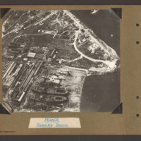
Oblique aerial photograph of docks. On the left side, docklands covered with buildings. On the right the land converges to a peninsular with water above and below. In the bottom centre a shipyard with two incomplete cargo ships with raised forecastle…

PBanksP15010039.jpg
On the left an aerial vertical photograph showing a city with a river running through from left to right with port facilities on both sides. On the far side of the river towards the left is a small indented water basin with a few ships moored.…

PBanksP15010077.jpg
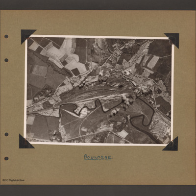
Aerial vertical photograph showing railway running from left to right with a large marshalling yard in the centre. A small river wanders along the bottom of the railway from left to right. Above the marshalling yard are long buildings with possible…

PBanksP15010083.jpg
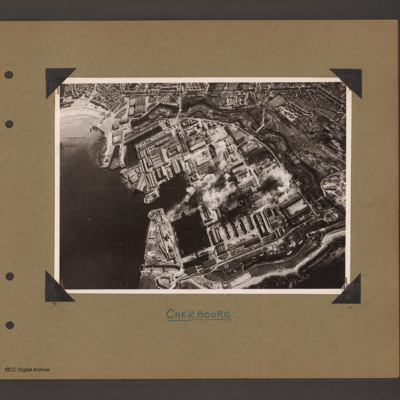
Aerial inclined photograph showing docks surrounded by town. To the left open sea with beach at the top. In the centre three interconnected dock basins, the bottom left one with a divider, surrounded by dockyard buildings and installations. A series…

PBanksP15010084.jpg
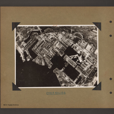
Aerial vertical photograph of docks. To the bottom left open sea. In the centre two interconnected dock basins the bottom one is divided into three by cross piers. There is a further basin above and to the left. All basins are surrounded by dockyard…

PBanksP15010085.jpg
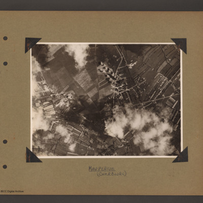
Aerial vertical photograph showing open countryside. A road runs from left diagonally slightly up to the right side middle. There is a junction half way along where another road leads off upward to the top. Bomb explosions are visible. Captioned…

PBanksP15010088.jpg
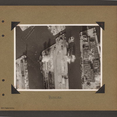
Aerial vertical photograph of docks. Along the top four moles below which an interconnected water way. Below is land with a narrow water passage slanting down towards the centre bottom. The moles and land have various scattered dockyard…

PBanksP15010089.jpg
Aerial vertical photograph of docks. Three moles extend from the bottom to just over half way up. The right hand mole is covered with dockyard installations, the other two are mostly bare. Bomb impacts are visible in the water between the right hand…

PBanksP15010090.jpg
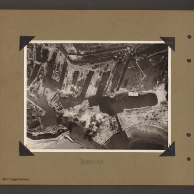
Aerial vertical photograph of interconnected dock basins. At the bottom centre an inlet slanting left. To its left a canal. To its right a spit of land with a narrow waterway leading to a large basin. To the right of the waterway a beach with…

PBanksP15010091.jpg
On the left an aerial vertical photograph of town, canal and docks. A canal zigzags from top left down, right and the left back towards dockyard in the bottom left. A town with dwellings and industrial areas lies mostly to the right of canal. The…

PBanksP15010095.jpg
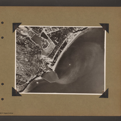
Aerial vertical photograph of a coastal port. Coastline runs from top right to bottom left with open sea to the right. One quarter way up from left there is an inlet with breakwaters which leads into inland dock basins surrounded by a town. There are…

PBanksP15010098.jpg
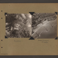
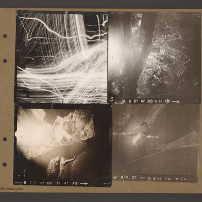
Top left aerial vertical photograph completely filled with anti-aircraft tracer trails.

Top right an aerial vertical photograph of a canal junction. A canal runs from bottom left to a junction and then up to the top. At the junction a branch…

LDarbyC1897788v1.pdf
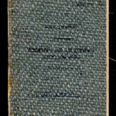
Observer's and air gunner's flying log book for Sergeant Charlie Darby, air gunner from 22 January 1944 to 16 January 1945. Charlie Darby was stationed at RAF Castle Kennedy and RAF Driffield where he flew Anson, Wellingtons and Halifaxes Mk 2 and 3.…

PBanksP15010101.jpg
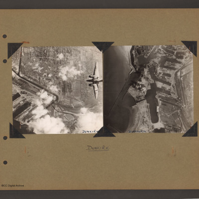
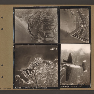
Top left an aerial vertical photograph of Dunkirk docks. A river runs from the sea bottom centre in a curve to top centre. Docks with moles and basins are to the right and the town is to the left of the river.

Top right an aerial vertical…

PBanksP15010108.jpg
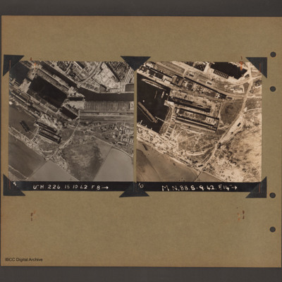
On the left an aerial vertical photograph of docks. A waterway runs from top left downward before turning horizontal across to the right. At the bend there is a narrow channel leading to a basin to the left. Below this is a further basin with a barge…

LYoungJ1569980v1.pdf
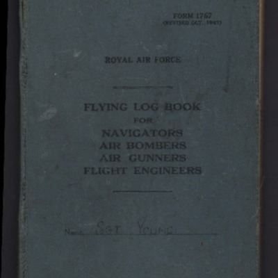
Royal Air Force flying log book for Sergeant John Young, flight engineer, covering the period 28 June 1944 to 6 January 1945, detailing training, and operations flown. He was stationed at RAF St Athan, RAF Eastmoor. Aircraft flown in were the Halifax…

WoolgarR (Pesaro).jpg
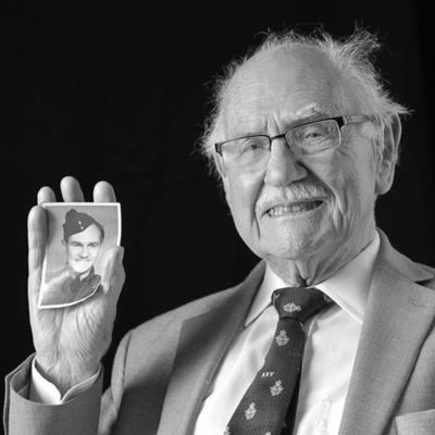
Reg Woolgar was born in Hove. He volunteered for the Royal Air Force in December 1939 and trained as a wireless operator/air gunner. He flew Hampdens with 49 Squadron. His aircraft was damaged by anti-aircraft fire on a mine laying operation to Oslo…
Output Formats

atom, dc-rdf, dcmes-xml, json, omeka-xml, rss2