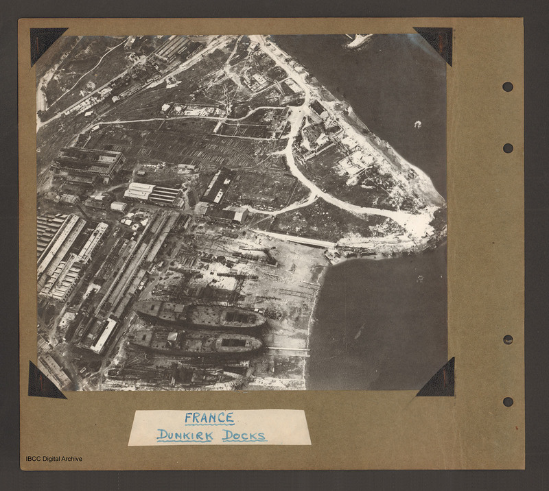
Dunkirk Docks
Title
Dunkirk Docks
France Dunkirk Docks
Description
Oblique aerial photograph of docks. On the left side, docklands covered with buildings. On the right the land converges to a peninsular with water above and below. In the bottom centre a shipyard with two incomplete cargo ships with raised forecastle and large open cargo hatches at the rear. Three tower cranes are visible above the ships. Two of these appear to have been destroyed and are lying across the adjacent ground. To the left of the shipyard a number of long narrow buildings run from bottom left towards the centre. Above these orientated left to right are further buildings the left-hand of which appear damaged. Towards the top a road runs from left to right and a further road runs from the top along the bank before looping inland then terminating at the end of the peninsular. Captioned 'France Dunkirk Docks'.
Coverage
Language
Type
Format
One b/w photograph mounted on an album page
Conforms To
Publisher
Rights
This content is available under a CC BY-NC 4.0 International license (Creative Commons Attribution-NonCommercial 4.0). It has been published ‘as is’ and may contain inaccuracies or culturally inappropriate references that do not necessarily reflect the official policy or position of the University of Lincoln or the International Bomber Command Centre. For more information, visit https://creativecommons.org/licenses/by-nc/4.0/ and https://ibccdigitalarchive.lincoln.ac.uk/omeka/legal.
Contributor
Identifier
PBanksP15010010
Collection
Citation
“Dunkirk Docks,” IBCC Digital Archive, accessed July 22, 2024, https://ibccdigitalarchive.lincoln.ac.uk/omeka/collections/document/1415.
Item Relations
This item has no relations.

