Browse Items (166 total)

  • Tags: reconnaissance photograph

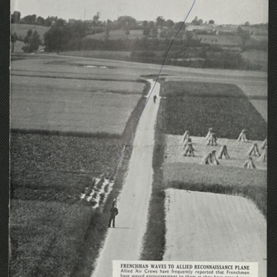
SKingEJ182986v10097.jpg
Two press cuttings. The first is captioned 'Frenchman waves to allied reconnaissance plane' and shows a road with two figures, one of them waving, the road running through small farmed fields, trees and more fields in the background.
The second is…

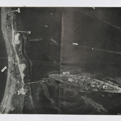
SKingEJ182986v10145.jpg
Two reconnaissance photographs. The first is low level of the Tirpitz moored stern on to the land. Jetty connects stern to land. Several other jetties are present and various smaller boats are moored or moving. Booms are seen above Tirpitz. Several…

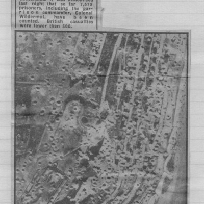
NWeedenRC170409-030002.jpg
Reconnaissance photograph showing cratered landscape with caption explaining that this was part of fortress area of Le Havre after the RAF's 5,000 ton daylight attack.

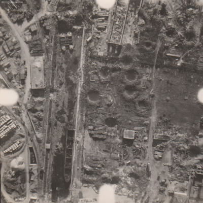
PWilsonH1508.jpg
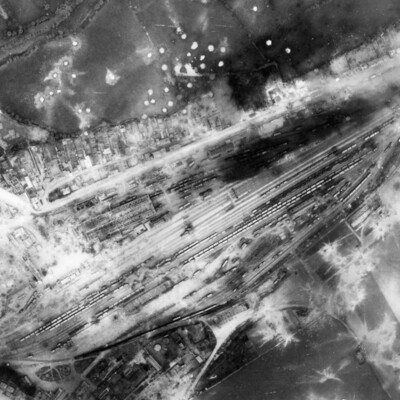
Reconnaissance photograph at low level of goods yard with significant bomb damage with craters and destroyed buildings throughout. A drained canal runs top to bottom with large barge aground against quay and another smaller pair tied together at top.…

PWilsonH1502.jpg
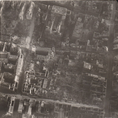
Reconnaissance photograph of part of a city with damaged buildings.

NDentJ201023-02.jpg
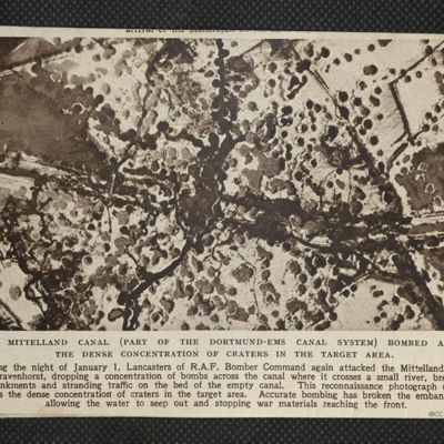
Reconnaissance photograph showing concentration of bomb craters in the target area where canal crossed a small river.

PFOMetheringhamAF19050014.jpg
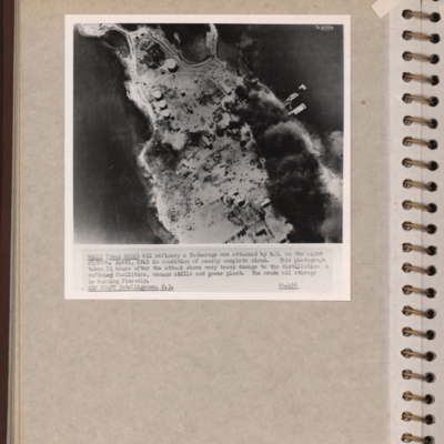
Reconnaissance photograph of an oil refinery on a peninsular with large plume of smoke from damaged oil tanks upper right area. Oslofjord is to the left with Prinds Christians Batterie just visible on the edge top left. Explanatory note underneath…

PFOMetheringhamAF19050008.jpg
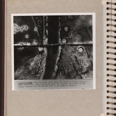
Reconnaissance photograph showing a river running top to bottom and a bridge crossing in the middle with several spans down. There are many craters on both sides of the river. Explanatory note 'NIENBURG BRIDGE over the river Weser after the attack by…

PFOMetheringhamAF19050006.jpg
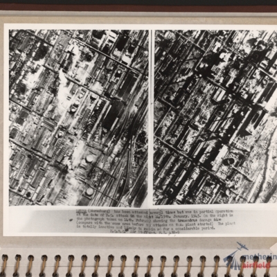
Side by side reconnaissance photographs showing an industrial area with buildings, roads and towards the right, some railway sidings. This industrial area is orientated from lower left to top right. Chimney smoke is seen on the left hand photograph.…

PFOMetheringhamAF19050004.jpg
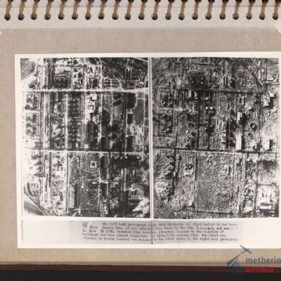
Vertical aerial photographs showing on the left an industrial area with roads and buildings and on the right the same area with most of the structures destroyed. Explanatory text underneath 'Zeitz. The left hand photograph shows this synthetic oil…

PFOMetheringhamAF19050003.jpg
Left and right - side by side reconnaissance photographs showing the centre of the town of Bocholt with river Bocholter Aa flowing top to bottom with two distinctive bow’s to the right towards the top of the photograph. The large road crossing…

PFOMetheringhamAF19050002.jpg
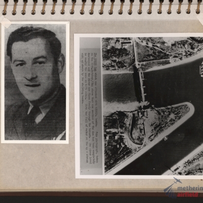
Left - full face portrait of an airman wearing tunic with flight engineer brevet. Submitted with description 'Full-face photo of unidentified flight engineer'. Right - reconnaissance photograph with text description of the Kembs dam across the Grand…

PFOMetheringhamAF19040037.jpg
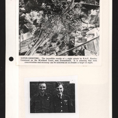
Top - a reconnaissance photograph of results of a bombing attack. From a newspaper article. The photograph shows the Mittelland canal running bottom left to top right and very many bomb craters concentrated in middle with canal edges and embankment…

PFOMetheringhamAF19020014.jpg
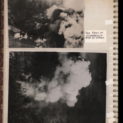
Top - target photograph showing smoke from bomb explosions, small area of buildings visible bottom left corner. Submitted with description 'Aerial photo of Osnabruck after a bombing attack, showing smoke. Ministry No. C5130'.
Bottom - target…

PFOMetheringhamAF19020011.jpg
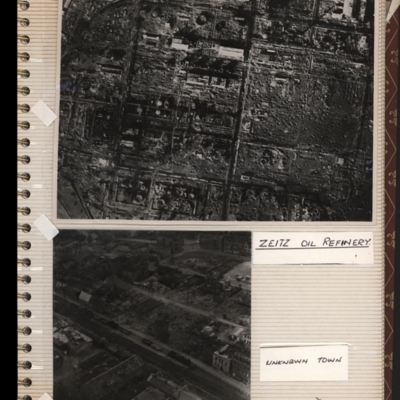
Top - reconnaissance photograph of a almost totally destroyed industrial facility. A few buildings towards the top of the photograph appear intact. Captioned 'Zeitz oil refinery. Submitted with description 'Aerial photo of Zeltz [sic] oil refinery…

BWagnerHWWagnerHWv2.pdf
An extremely detailed account of the No 51 Squadron briefing for the operation to Essen on 28/29 November 1944 by Henry. It includes all the specialist officers as well as the Station Commander's brief. It also includes Henry's crew, Station and…

PBaxterPD16020044.jpg
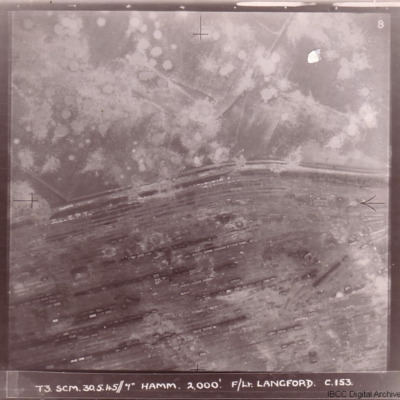
Four photographs of damage to German cities taken on two of the 'Cooks Tours' flown by no 153 Squadron.

The first has the caption 'T3 SCM 30.5.45//7" HAMM 2,000'. F/LT LANGFORD C.153 and shows Hamm railway marshalling yard with tracks running from…

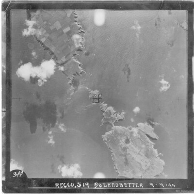
PLeadbetterJ16090008.jpg
A vertical aerial photograph of a group of islands including Skomer, West Wales. It is annotated '3PP Recco.519 P/O Leadbetter 9.9.44'.

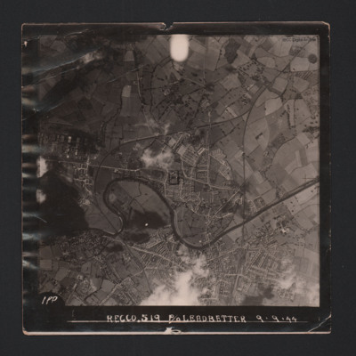
PLeadbetterJ16090006.jpg
A vertical aerial photograph showing the city. River Wye meanders through the left side. Two railway lines run from the bottom and meet halfway to the top. The image is annotated 'Recco.519 P/O Leadbetter 9.9.44'.
On the reverse -
'Assumed Posn…

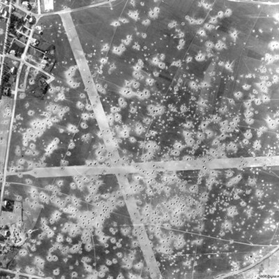
PEleyNJ1624.jpg
A vertical aerial photograph showing bomb damage to runways and surrounding area of airfield, submitted with caption; “Le Culot airfield in Belgium”.

PEleyNJ1623.jpg
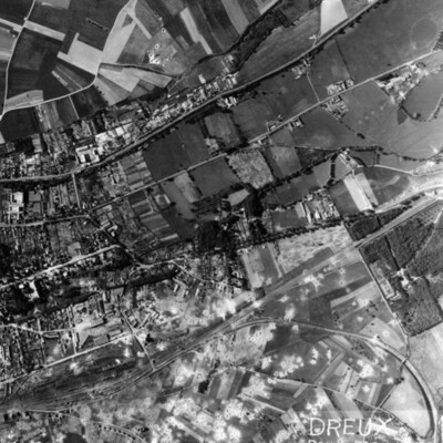
A vertical aerial photograph of Dreux, with rail facility in lower left quarter. Main line runs from rail facilities to top right, with secondary line veering off to the right and curving down to bottom right hand corner. Town is above the railway,…

PEleyNJ1622.jpg
A vertical aerial photograph showing rail marshalling yard at Argentan. Road running parallel to railway tracks from lower left to upper right (now D158) with another joining from top left (now D238A). Argentan railway station is visible opposite…

PEleyNJ1621.jpg
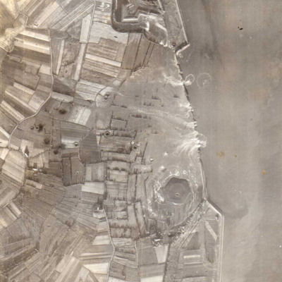
A vertical aerial photograph showing several new breaches in the sea defences with areas of land in process of being flooded. Submitted with caption; “Sea wall broken at Flushing.” Fort Rammekens is at the top of the photograph, with village of…

MMcDermottC1119618-161216-09.pdf
A magazine of aerial photographs covering incendiaries dropping on Dusseldorf, port and industrial areas, captured enemy equipment, railway sidings at Antwerp, a seaplane base, a Fw 190 under attack, boat shelters at Dunkirk, camouflaged hangars at…
Output Formats

atom, dc-rdf, dcmes-xml, json, omeka-xml, rss2