Browse Items (4469 total)
- Tags: bombing
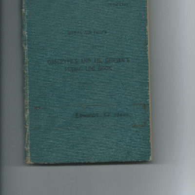
Eric Keen's navigator's, air bomber's and air gunner's flying log book
Tags: 1665 HCU; 196 Squadron; aircrew; Anson; B-24; Blenheim; bomb struck; bombing; C-47; flight engineer; Halifax; Heavy Conversion Unit; Lancaster; mine laying; Normandy campaign (6 June – 21 August 1944); Oxford; RAF Keevil; RAF Leicester East; RAF Linton on Ouse; RAF Marston Moor; RAF Saltby; RAF Tarrant Rushton; RAF Tilstock; RAF Witchford; RAF Woolfox Lodge; Stirling; training
Cyril Robert Brown’s flying log book
Tags: 106 Squadron; 1660 HCU; 1661 HCU; 19 OTU; 61 Squadron; 617 Squadron; 9 Squadron; Air Observers School; aircrew; Anson; Battle; bomb aimer; bombing; Bombing and Gunnery School; bombing of Hamburg (24-31 July 1943); Cook’s tour; Heavy Conversion Unit; Lancaster; Manchester; Operation Dodge (1945); Operational Training Unit; RAF Bardney; RAF Kinloss; RAF Skellingthorpe; RAF Sturgate; RAF Swinderby; RAF Syerston; RAF Waddington; RAF Winthorpe; RAF Woodhall Spa; Stirling; training; Whitley
Robert Palmer's pilot's flying log book. One
Robert Palmer's pilot's flying log book. Two
Tags: 109 Squadron; 15 OTU; 20 OTU; aircrew; Anson; bombing; bombing of the Normandy coastal batteries (5/6 June 1944); Lancaster; Lysander; Magister; Martinet; Mosquito; Normandy campaign (6 June – 21 August 1944); Operational Training Unit; Oxford; Pathfinders; pilot; RAF Abingdon; RAF Hullavington; RAF Lossiemouth; RAF Marham; tactical support for Normandy troops; Tiger Moth; training; V-1; V-2; V-weapon; Wellington
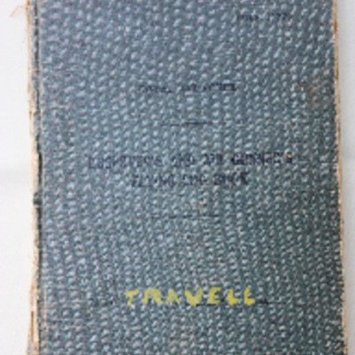
A E Travell’s observer’s and air gunner’s flying log book
Tags: 1657 HCU; 1660 HCU; 214 Squadron; 576 Squadron; air gunner; Air Gunnery School; aircrew; bombing; bombing of Hamburg (24-31 July 1943); Defiant; Heavy Conversion Unit; Lancaster; mine laying; Operation Manna (29 Apr – 8 May 1945); Oxford; RAF Chedburgh; RAF Dalcross; RAF Fiskerton; RAF Marham; RAF Stradishall; Stirling; training; Wellington
Flight Sergeant Walsh navigator's air bomber's and air gunner's flying log book
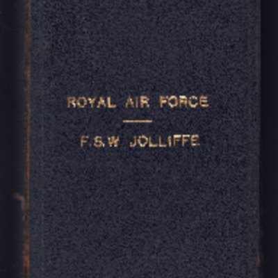
Frank Jolliffe's flying log book. One
Tags: 138 Squadron; 14 OTU; 149 Squadron; 1653 HCU; 35 Squadron; 75 Squadron; Advanced Flying Unit; Air Observers School; aircrew; Anson; B-17; Beaufighter; Bolingbroke; bomb aimer; bombing; Bombing and Gunnery School; bombing of Dresden (13 - 15 February 1945); C-47; Dominie; Flying Training School; Hampden; Harvard; Heavy Conversion Unit; Initial Training Wing; Lancaster; Lancaster Finishing School; Lincoln; Martinet; Meteor; Mosquito; navigator; Operation Exodus (1945); Operation Manna (29 Apr – 8 May 1945); Operational Training Unit; Oxford; RAF Bishops Court; RAF Chedburgh; RAF Farnborough; RAF Feltwell; RAF Graveley; RAF Husbands Bosworth; RAF Leeming; RAF Manby; RAF Market Harborough; RAF Mepal; RAF Methwold; RAF North Luffenham; RAF Paignton; RAF Tuddenham; RAF West Freugh; RCAF Rivers; Stirling; training; Wellington
Charles Cuthill’s pilots flying log book
Tags: 10 OTU; 12 OTU; 149 Squadron; 1657 HCU; 17 OTU; 30 OTU; Advanced Flying Unit; aircrew; Anson; bombing; Catalina; Dominie; Flying Training School; Gee; Heavy Conversion Unit; Lancaster; Lancaster Finishing School; Mosquito; Operational Training Unit; Oxford; pilot; Proctor; RAF Abingdon; RAF Chipping Warden; RAF Feltwell; RAF Finningley; RAF Gamston; RAF Little Rissington; RAF Methwold; RAF Shenington; RAF Silverstone; RAF Stradishall; RAF Swinderby; Stearman; Stirling; Tiger Moth; training; Wellington
Edward Webster's Royal Air Force navigator’s, air bomber’s, air gunner’s and flight engineer’s flying log book
Tags: 1654 HCU; 61 Squadron; aircrew; bombing; bombing of Dresden (13 - 15 February 1945); bombing of Luftwaffe night-fighter airfields (15 August 1944); flight engineer; Heavy Conversion Unit; Lancaster; Lancaster Finishing School; Normandy campaign (6 June – 21 August 1944); RAF Scampton; RAF Skellingthorpe; RAF St Athan; RAF Syerston; RAF Torquay; RAF Wigsley; Stirling; training
Ivor Edwards observer’s and air gunner’s flying log book.
Harry Whittaker's flying log book
Tags: 148 Squadron; 156 Squadron; 158 Squadron; 1652 HCU; 17 OTU; 19 OTU; 35 Squadron; 635 Squadron; Advanced Flying Unit; air gunner; aircrew; Anson; Blenheim; bomb aimer; bombing; Botha; crash; Goodwill tour of the United States (1946); Halifax; Hampden; Heavy Conversion Unit; Lancaster; Magister; Normandy campaign (6 June – 21 August 1944); Operation Dodge (1945); Operational Training Unit; Pathfinders; RAF Downham Market; RAF Dumfries; RAF Graveley; RAF Kinloss; RAF Lissett; RAF Marston Moor; RAF Silverstone; RAF Stradishall; RAF Upwood; RAF Warboys; tactical support for Normandy troops; training; Wellington; Whitley
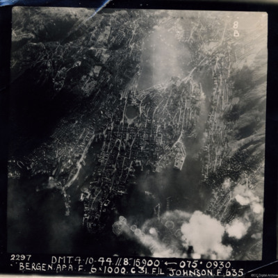
Bergen
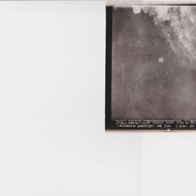
Julich
N Powell's flying log book for navigators, air bombers, air gunners, flight engineers
J.C. Cockram’s RCAF Observer’s and Air Gunner’s flying log book
Tags: 1652 HCU; 27 OTU; 462 Squadron; 466 Squadron; Advanced Flying Unit; Air Observers School; aircrew; Anson; bombing; C-47; Flying Training School; Halifax; Halifax Mk 2; Halifax Mk 3; Halifax Mk 5; Heavy Conversion Unit; navigator; Normandy campaign (6 June – 21 August 1944); Operational Training Unit; RAF Church Broughton; RAF Driffield; RAF Leconfield; RAF Marston Moor; RAF West Freugh; tactical support for Normandy troops; Tiger Moth; training; Wellington
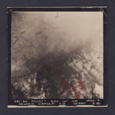
Wesel
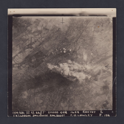
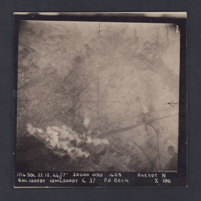
Rheydt
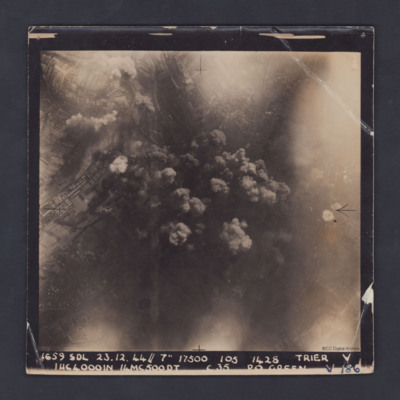
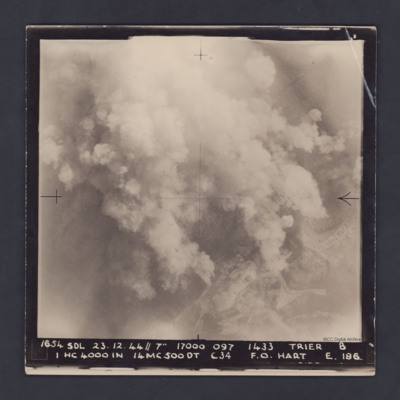
Trier
Hangelar
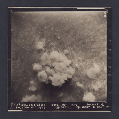
Bocholt
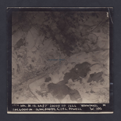
Vohwinkel
Trier
It is captioned :
'1654 SDL 23.12.44 // 7" 17000 097 1433 Trier B
1…
Rheydt
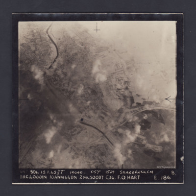
Saarbrucken
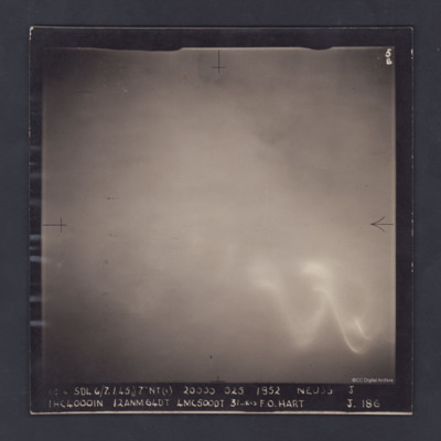
Neuss
The photograph is captioned:
'1814…

