Bocholt

PDarbyCAH18010009.jpg
PDarbyCAH18010010.jpg

Title

Bocholt

Description

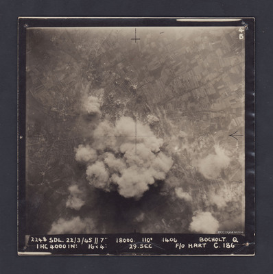
A vertical aerial photograph of Bocholt. On the left side is the  distinctive diamond shape of Friedhof Bocholt cemetery and on the middle left edge is the artificial lake, the Bocholter Aasee. The upper left quarter of the image shows open countryside and fields with several roads radiating outwards from the town. The centre of Bochum is completely obscured by smoke from exploding bombs.

The photograph is captioned:
2248 SDL. 22/3/45 // 7" 18000. 110° 1406 BOCHOLT Q
1 HC 4000 IN: 16x4: 29. sec F/O HART C.186'.

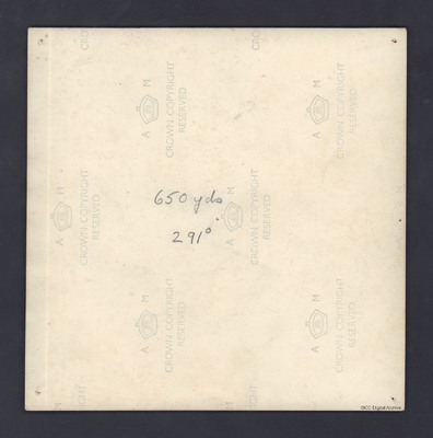
On the reverse is written '650 yds 291°'.

Date

1945-03-22

Temporal Coverage

Spatial Coverage

Language

Type

Format

One b/w photograph

Conforms To

Rights

This content is available under a CC BY-NC 4.0 International license (Creative Commons Attribution-NonCommercial 4.0). It has been published ‘as is’ and may contain inaccuracies or culturally inappropriate references that do not necessarily reflect the official policy or position of the University of Lincoln or the International Bomber Command Centre. For more information, visit https://creativecommons.org/licenses/by-nc/4.0/ and https://ibccdigitalarchive.lincoln.ac.uk/omeka/legal.

Contributor

Identifier

PDarbyCAH18010009, PDarbyCAH18010010

Citation

Great Britain. Royal Air Force, “Bocholt,” IBCC Digital Archive, accessed April 26, 2024, https://ibccdigitalarchive.lincoln.ac.uk/omeka/collections/document/39726.

Item Relations

This item has no relations.