Hangelar
Title
Hangelar
Description
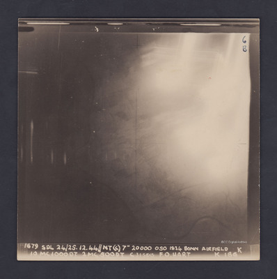
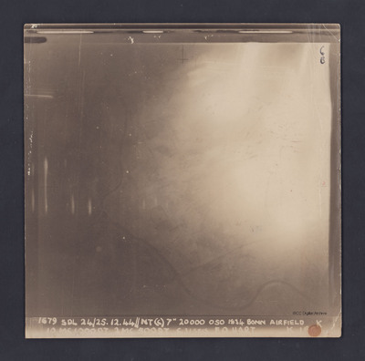
A vertical aerial photograph of Hangelar (Bonn) airfield taken during a bombing operation. The image is orientated with south-east at the top edge. A large, bright glare obscures most of the ground detail but the River Seig is visible, meandering across the bottom and up the left side of the photo. Also, one-quarter in from the left and one-third up from the bottom, the River Agger can be seen joining the Seig. Emerging from the lower edge of the glare is a railway line, running right to left and crossing the R Seig. At the lower left edge of the glare, part of the residential area of Menden is just visible.
The photograph is captioned:
'679 SDL 24/25.12.44 // NT (C) 7" 20000 050 1834 Bonn Airfield K
10 MC1000DT 2MC 500 DT C31 secs F.O. Hart K 186'.
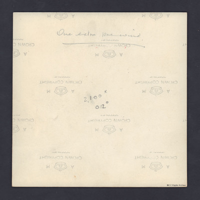
On the reverse is written '2100 x 12°'.
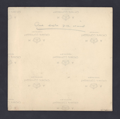
In this resource there is a second, identical photograph which also has 'One extra pre wind' handwritten and underlined on the reverse.
Creator
Date
1944-12-24
1944-12-25
Language
Type
Format
Two b/w photographs
Conforms To
Publisher
Rights
This content is available under a CC BY-NC 4.0 International license (Creative Commons Attribution-NonCommercial 4.0). It has been published ‘as is’ and may contain inaccuracies or culturally inappropriate references that do not necessarily reflect the official policy or position of the University of Lincoln or the International Bomber Command Centre. For more information, visit https://creativecommons.org/licenses/by-nc/4.0/ and https://ibccdigitalarchive.lincoln.ac.uk/omeka/legal.
Contributor
Identifier
PDarbyCAH18010007,
PDarbyCAH18010008,
PDarbyCAH18010023,
PDarbyCAH18010024
PDarbyCAH18010008,
PDarbyCAH18010023,
PDarbyCAH18010024
Collection
Citation
Great Britain. Royal Air Force, “Hangelar,” IBCC Digital Archive, accessed October 29, 2024, https://ibccdigitalarchive.lincoln.ac.uk/omeka/collections/document/39725.
Item Relations
This item has no relations.


