Browse Items (391 total)
- Tags: V-weapon
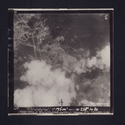
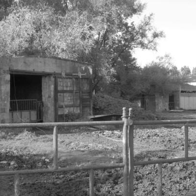
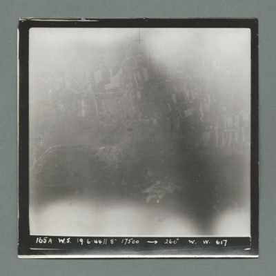
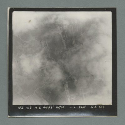
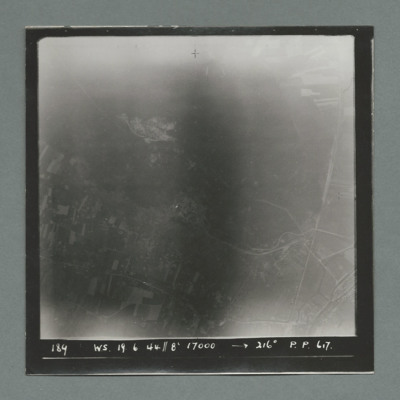
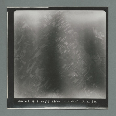
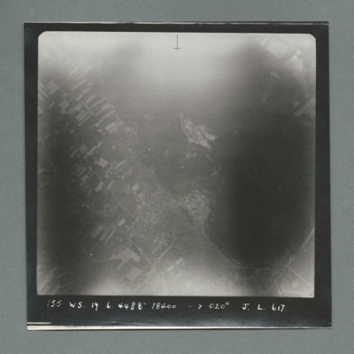
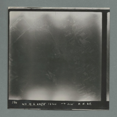
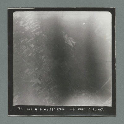
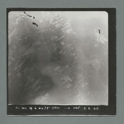
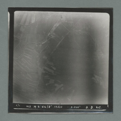
Trossy St Maximin
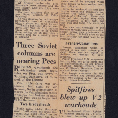
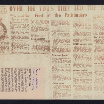
Two newspaper cuttings
Tags: 156 Squadron; 35 Squadron; 7 Squadron; 83 Squadron; bombing; bombing of Cologne (30/31 May 1942); Conspicuous Gallantry Medal; Distinguished Flying Cross; Distinguished Flying Medal; Distinguished Service Order; Halifax; Lancaster; Normandy campaign (6 June – 21 August 1944); Operation Exodus (1945); Operation Manna (29 Apr – 8 May 1945); Pathfinders; RAF Leeming; RAF Linton on Ouse; RAF Marham; Tirpitz; V-1; V-weapon
V Group News, July 1944
Tags: 5 Group; air gunner; air sea rescue; aircrew; bomb aimer; bombing; bombing of the Creil/St Leu d’Esserent V-1 storage areas (4/5 July 1944); bombing of the Mimoyecques V-3 site (6 July 1944); Cheshire, Geoffrey Leonard (1917-1992); Distinguished Flying Cross; Distinguished Flying Medal; Distinguished Service Order; ditching; flight engineer; Gee; H2S; Lancaster; mine laying; navigator; Normandy campaign (6 June – 21 August 1944); Oboe; pilot; radar; rivalry; searchlight; sport; tactical support for Normandy troops; training; V-2; V-3; V-weapon; wireless operator
Visit to Poix-de-la-Somme War Cemetery, France
W J Martin's flying log book
Tags: 1651 HCU; 1660 HCU; 1668 HCU; 5 Group; 57 Squadron; aircrew; Cook’s tour; Distinguished Flying Cross; flight engineer; Fw 190; Gibson, Guy Penrose (1918-1944); Heavy Conversion Unit; Lancaster; Lancaster Finishing School; mine laying; Normandy campaign (6 June – 21 August 1944); RAF Cottesmore; RAF East Kirkby; RAF St Athan; RAF Swinderby; RAF Syerston; RAF Woolfox Lodge; Stirling; tactical support for Normandy troops; Tiger force; training; V-1; V-2; V-weapon
Walter Morris - 1939/45 War Record
Tags: 166 Squadron; 630 Squadron; aircrew; Anson; Bolingbroke; bomb aimer; bomb struck; crash; crewing up; demobilisation; Distinguished Flying Cross; final resting place; flight engineer; killed in action; Lancaster; Lancaster Finishing School; love and romance; military ethos; military living conditions; mine laying; Nissen hut; Normandy campaign (6 June – 21 August 1944); RAF East Kirkby; RAF Kirkham; RAF Kirmington; RAF Manby; RAF North Luffenham; RAF Silverstone; RAF Swinderby; RAF Syerston; RAF Wittering; RCAF Bowden; RCAF Moncton; Stirling; Tiger Moth; training; V-1; V-weapon; Wellington
War Memoir - George Bilton
Tags: 427 Squadron; 428 Squadron; 434 Squadron; 6 Group; aerial photograph; Air Raid Precautions; aircrew; anti-aircraft fire; bomb aimer; bombing; C-47; civil defence; Cook’s tour; crewing up; flight engineer; Halifax; Heavy Conversion Unit; lack of moral fibre; Lancaster; military discipline; military ethos; military living conditions; military service conditions; mine laying; Normandy campaign (6 June – 21 August 1944); Pathfinders; RAF Bruntingthorpe; RAF Croft; RAF Harwell; RAF Middleton St George; RAF St Athan; RAF Thorney Island; RAF Topcliffe; RAF Warboys; RAF Woodbridge; target indicator; target photograph; training; V-2; V-weapon; Wellington; Window; wireless operator / air gunner

