Browse Items (4469 total)
- Tags: bombing
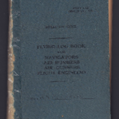
Frederick Edwards' Royal Canadian Air Force flying log book for aircrew other than pilot
Tags: 101 Squadron; 16 OTU; 1668 HCU; 78 Squadron; Advanced Flying Unit; aircrew; Anson; bombing; bombing of Dresden (13 - 15 February 1945); bombing of Helgoland (18 April 1945); C-47; Halifax; Heavy Conversion Unit; Lancaster; Lancaster Mk 2; Lancaster Mk 3; navigator; Operation Exodus (1945); Operation Manna (29 Apr – 8 May 1945); Operational Training Unit; RAF Bottesford; RAF Breighton; RAF Carnaby; RAF Halfpenny Green; RAF Ludford Magna; RAF Upper Heyford; RCAF Rivers; training; Wellington
George C Dunn’s pilot's flying log book. One
Tags: 10 Squadron; 16 OTU; 1663 HCU; 18 OTU; 20 OTU; 608 Squadron; 76 Squadron; Advanced Flying Unit; aerial photograph; aircrew; Anson; bombing; bombing of Hamburg (24-31 July 1943); Bombing of Peenemünde (17/18 August 1943); Cook’s tour; Flying Training School; Halifax; Heavy Conversion Unit; Lancaster; Mosquito; Operational Training Unit; Oxford; pilot; RAF Barford St John; RAF Chipping Norton; RAF Church Broughton; RAF Downham Market; RAF Driffield; RAF Finningley; RAF Linton on Ouse; RAF Lossiemouth; RAF Melbourne; RAF Rufforth; RAF Upper Heyford; RAF Upwood; RAF Worksop; RAF Wyton; target photograph; Tiger Moth; training; Wellington
Homer Lawson’s observer’s and air gunner’s flying log book
Tags: 10 Squadron; 1663 HCU; 19 OTU; 77 Squadron; Advanced Flying Unit; aircrew; Anson; anti-aircraft fire; bombing; bombing of the Normandy coastal batteries (5/6 June 1944); C-47; Cook’s tour; Halifax; Halifax Mk 3; Heavy Conversion Unit; Ju 88; mine laying; navigator; Normandy campaign (6 June – 21 August 1944); Operational Training Unit; RAF Full Sutton; RAF Kinloss; RAF Llandwrog; Raf Mauripur; RAF Melbourne; RAF Penrhos; RAF Rufforth; training; Wellington; Whitley
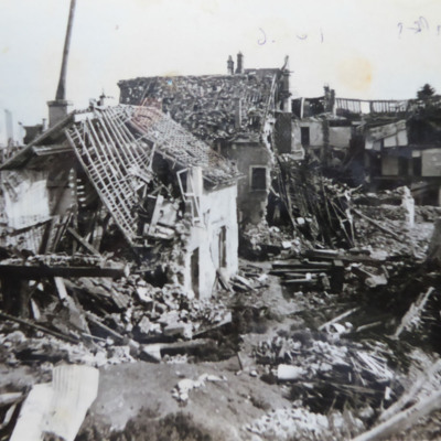
Bomb damage Etampes
Information supplied with the collection states -
Photo 1 Housing, Etampes 10/6/44
Photo 2 Railway, Etampes 10/6/44
Photo 3 Railway, Etampes 10/6/44
Photo 4 Railway, Etampes 10/6/44
Photo 5 Eglise St Gilles…
Tags: bombing; home front
Flying Officer A F Thomas’ RAF navigator’s, air bomber’s and air gunner’s flying log book
Tags: 149 Squadron; 1651 HCU; 1665 HCU; 90 Squadron; aircrew; bombing; Cook’s tour; flight engineer; Heavy Conversion Unit; Lancaster; Lancaster Mk 1; Lancaster Mk 3; mine laying; Operation Dodge (1945); Operation Exodus (1945); Operation Manna (29 Apr – 8 May 1945); RAF Feltwell; RAF Methwold; RAF Stradishall; RAF Tuddenham; RAF Woolfox Lodge; RAF Wratting Common; Special Operations Executive; Stirling; training
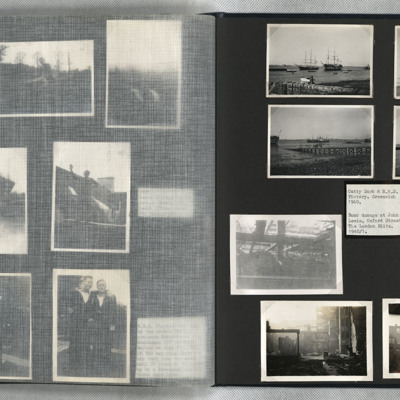
Cutty Sark, HMS Victory and bomb damage at John Lewis
Photos 5, 6, 7 and 8 are bomb damage to John Lewis store in Oxford Street, London.
Tags: bombing
Richard Franklin’s navigators, air bombers, air gunners and flight engineers flying log book
Tags: 1659 HCU; 22 OTU; 24 OTU; 427 Squadron; Advanced Flying Unit; aircrew; Anson; bombing; bombing of Kassel (22/23 October 1943); bombing of the Juvisy, Noisy-le-Sec and Le Bourget railways (18/19 April 1944); bombing of the Normandy coastal batteries (5/6 June 1944); Botha; C-47; Dominie; forced landing; Halifax; Heavy Conversion Unit; Me 109; Normandy campaign (6 June – 21 August 1944); Operational Training Unit; Proctor; RAF Atherstone; RAF Castle Donington; RAF Honeybourne; RAF Lakenheath; RAF Leeming; RAF Madley; RAF Stoney Cross; RAF Topcliffe; RAF Wellesbourne Mountford; RAF Wigtown; RAF Wymeswold; Stirling; training; Wellington; Whitley; wireless operator
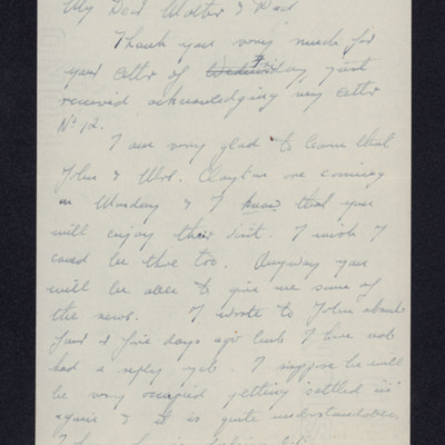
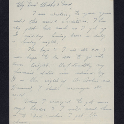
Letter from Douglas Hudson to his parents
Tags: air gunner; aircrew; bombing
Letter from Douglas Hudson to his parents
Tags: bombing; missing in action
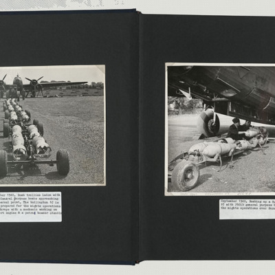
Bombing up a Wellington
Photo 2 is a close up of the bombs being loaded into the Wellington. Two armourers are steadying the bomb and a third is winding a winch to load the bomb.
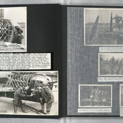
Battle damaged Wellington
Photo 2 is two airmen inspecting the damaged fabric at the tail of a Wellington.
Tours
Photo 2 is a vertical aerial photograph taken during the bombing of Tours. Explosions can be seen and a…
Calais
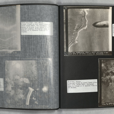
Photo 2 is a vertical aerial photograph of the Calais area. The operation is to destroy a rocket launch site. Many…
Osnabruck
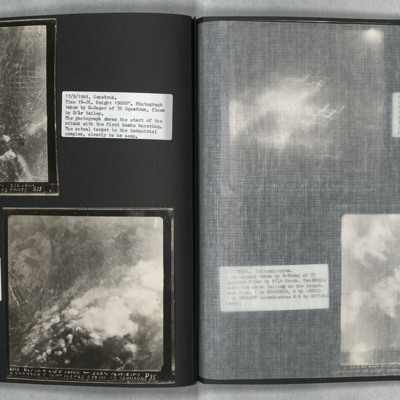
Photo 2 is a vertical aerial photograph taken during the bombing, seven minutes later. Much of the target is obscured by smoke and explosions.
Bochum and Gelsenkirchen
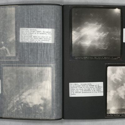
Photo 2 is a vertical aerial photography of Gelsenkirchen. Two bombs can be seen falling.
Duren
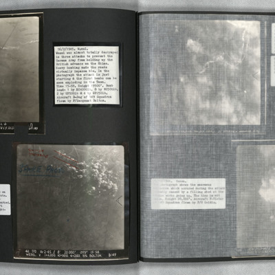
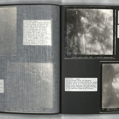
Wesel
Wesel and Essen
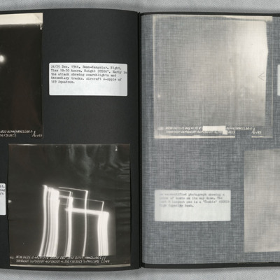
Bonn
Photo 3 is slightly later and shows large fires gaining control. Cologne is at the top left of…
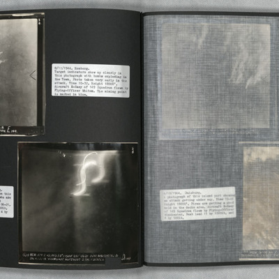
Homberg and Hohembudberg
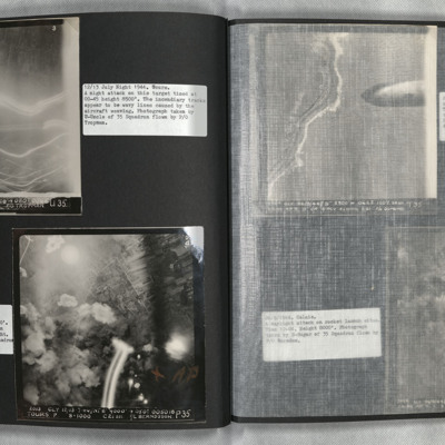
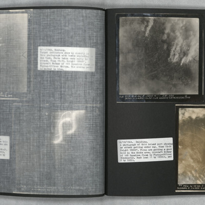
Photo 2 is a vertical aerial photograph of Hohembudberg, Duisberg. It shows a night attack with incendiary bombs burning…
Bonn and Duisburg
Photo 2 is a vertical aerial photograph of Duisburg. The river is visible but much detail is obscured by cloud and smoke.
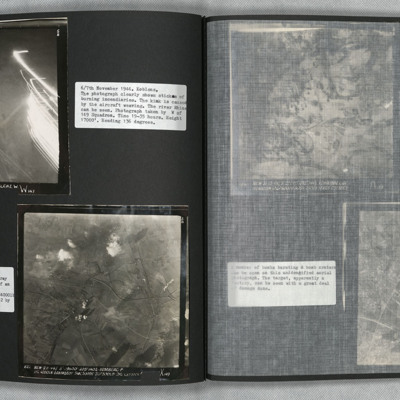
Koblenz and Homberg
Photo 2 is a vertical aerial photograph of Homberg. The image is very clear with only a few explosions hiding the detail.
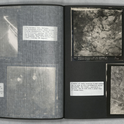
Vohwinkel
Photo 2 is a vertical aerial photograph of an unidentified location. The image is very…
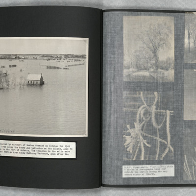
Walcheren
Tags: aerial photograph; bombing

