Browse Items (97 total)
- Spatial Coverage is exactly "France--Creil"
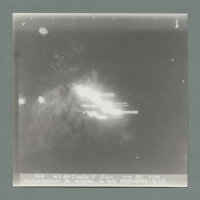
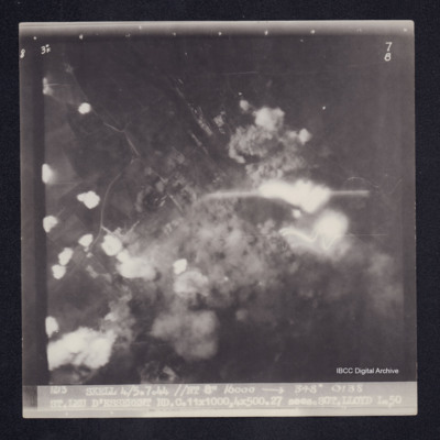
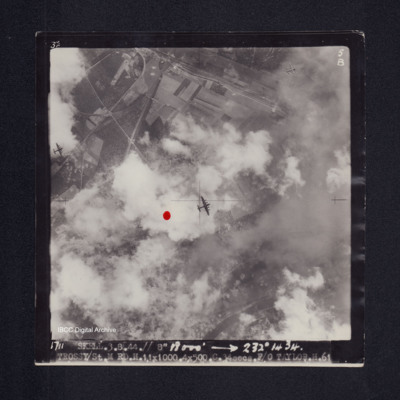
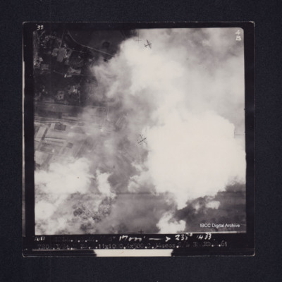
St Leu D'Esserent
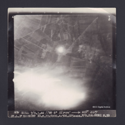
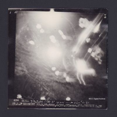
St. L. D'Esserent
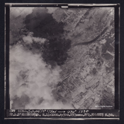
St. L. D'Esserent
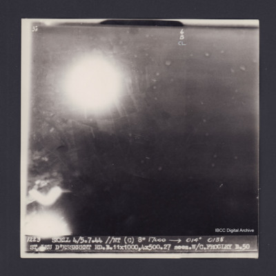
St. Leu D'Esserent
St. Leu D'Esserent
St.L.D'Esserent
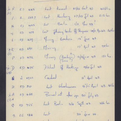
Subsequent fate of Lancasters
Tags: crash; ditching; Lancaster; missing in action; RAF Lakenheath; shot down
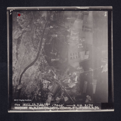
Thiverny
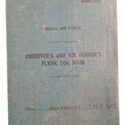
Thomas Kimberley's observer's and air gunner's flying log book
Tags: 101 Squadron; 180 Squadron; 320 Squadron; 463 Squadron; 467 Squadron; 617 Squadron; 88 Squadron; 9 Squadron; air gunner; Air Gunnery School; aircrew; Anson; B-25; Blenheim; bombing; bombing of Hamburg (24-31 July 1943); bombing of Luftwaffe night-fighter airfields (15 August 1944); bombing of the Creil/St Leu d’Esserent V-1 storage areas (4/5 July 1944); Boston; Cheshire, Geoffrey Leonard (1917-1992); Hudson; Lancaster; Mosquito; Normandy campaign (6 June – 21 August 1944); Operation Exodus (1945); Oxford; propaganda; RAF Ballykelly; RAF Bardney; RAF Farnborough; RAF Ford; RAF Foulsham; RAF Fulbeck; RAF Hartford Bridge; RAF Lasham; RAF Ludford Magna; RAF Northolt; RAF Pembrey; RAF Swanton Morley; RAF Syerston; RAF Waddington; RAF Woodhall Spa; tactical support for Normandy troops; Tirpitz; training
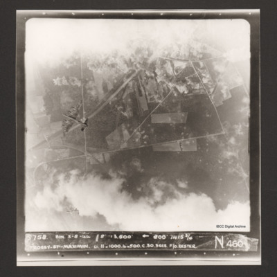
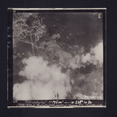
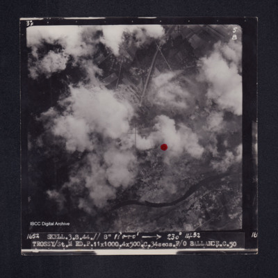
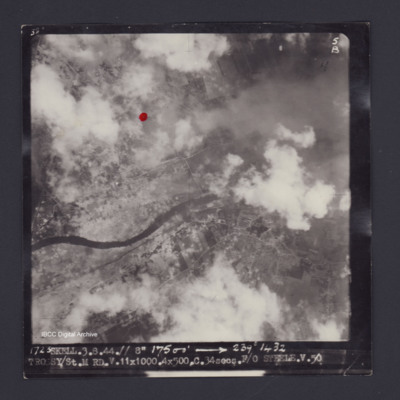
Trossy St Maximin
Trossy St Maximin
Trossy St Maximin
Trossy St Maximin
Trossy St Maximin
Trossy St Maximin
V Group News, August 1944
Tags: 5 Group; air gunner; air sea rescue; aircrew; bomb aimer; bombing; bombing of Luftwaffe night-fighter airfields (15 August 1944); Bombing of Trossy St Maximin (3 August 1944); Distinguished Flying Cross; Distinguished Flying Medal; Distinguished Service Order; ditching; flight engineer; Gee; H2S; Heavy Conversion Unit; Lancaster; mine laying; navigator; Normandy campaign (6 June – 21 August 1944); Oboe; pilot; radar; rivalry; sport; Stirling; tactical support for Normandy troops; training; wireless operator
V Group News, July 1944
Tags: 5 Group; air gunner; air sea rescue; aircrew; bomb aimer; bombing; bombing of the Creil/St Leu d’Esserent V-1 storage areas (4/5 July 1944); bombing of the Mimoyecques V-3 site (6 July 1944); Cheshire, Geoffrey Leonard (1917-1992); Distinguished Flying Cross; Distinguished Flying Medal; Distinguished Service Order; ditching; flight engineer; Gee; H2S; Lancaster; mine laying; navigator; Normandy campaign (6 June – 21 August 1944); Oboe; pilot; radar; rivalry; searchlight; sport; tactical support for Normandy troops; training; V-2; V-3; V-weapon; wireless operator
V Group News, November 1944
Tags: 5 Group; 617 Squadron; 9 Squadron; air gunner; aircrew; bomb aimer; bombing; bombing of the Boulogne E-boats (15/16 June 1944); bombing of the Creil/St Leu d’Esserent V-1 storage areas (4/5 July 1944); bombing of the Mimoyecques V-3 site (6 July 1944); bombing of the Watten V-2 site (19 June 1944); bombing of the Wizernes V-2 site (20, 22, 24 June 1944); Distinguished Flying Cross; Distinguished Flying Medal; flight engineer; Gee; gremlin; H2S; Lancaster; Lancaster Finishing School; mine laying; navigator; Normandy campaign (6 June – 21 August 1944); Oboe; Operation Catechism (12 November 1944); pilot; radar; rivalry; Tallboy; Tirpitz; training; wireless operator
W Sparkes’ navigator’s, air bomber’s and air gunner’s flying log book
Tags: 1659 HCU; 1668 HCU; 29 OTU; 297 Squadron; 431 Squadron; 85 OTU; aircrew; Anson; bombing of the Normandy coastal batteries (5/6 June 1944); C-47; Dominie; flight engineer; Halifax; Halifax Mk 3; Halifax Mk 5; Halifax Mk 7; Heavy Conversion Unit; Lancaster; Lincoln; Mosquito; Normandy campaign (6 June – 21 August 1944); Operational Training Unit; RAF Bruntingthorpe; RAF Cottesmore; RAF Croft; RAF Dishforth; RAF Husbands Bosworth; RAF Lyneham; RAF Silloth; RAF St Athan; RAF Tholthorpe; RAF Topcliffe; training; Wellington
Walter John Smith’s navigator’s, air bomber’s and air gunner’s flying log book
Tags: 12 Squadron; 1656 HCU; 1661 HCU; 27 OTU; 463 Squadron; aircrew; bombing; bombing of Hamburg (24-31 July 1943); Bombing of Peenemünde (17/18 August 1943); Bombing of Trossy St Maximin (3 August 1944); flight engineer; Halifax; Halifax Mk 2; Heavy Conversion Unit; Lancaster; Lancaster Finishing School; Lancaster Mk 1; Lancaster Mk 3; Normandy campaign (6 June – 21 August 1944); Operational Training Unit; RAF Lichfield; RAF Lindholme; RAF Syerston; RAF Waddington; RAF Wickenby; RAF Winthorpe; Stirling; training
War Memoir - George Bilton
Tags: 427 Squadron; 428 Squadron; 434 Squadron; 6 Group; aerial photograph; Air Raid Precautions; aircrew; anti-aircraft fire; bomb aimer; bombing; C-47; civil defence; Cook’s tour; crewing up; flight engineer; Halifax; Heavy Conversion Unit; lack of moral fibre; Lancaster; military discipline; military ethos; military living conditions; military service conditions; mine laying; Normandy campaign (6 June – 21 August 1944); Pathfinders; RAF Bruntingthorpe; RAF Croft; RAF Harwell; RAF Middleton St George; RAF St Athan; RAF Thorney Island; RAF Topcliffe; RAF Warboys; RAF Woodbridge; target indicator; target photograph; training; V-2; V-weapon; Wellington; Window; wireless operator / air gunner
William H Cooke’s navigators, air bombers and air gunners flying log book
Tags: 16 OTU; 1661 HCU; 49 Squadron; 99 Squadron; air gunner; Air Gunnery School; aircrew; Anson; B-24; bombing of Luftwaffe night-fighter airfields (15 August 1944); Bombing of Trossy St Maximin (3 August 1944); crash; Heavy Conversion Unit; Lancaster; Lancaster Finishing School; Normandy campaign (6 June – 21 August 1944); Operational Training Unit; radar; RAF Bishops Court; RAF Fiskerton; RAF Fulbeck; RAF Syerston; RAF Upper Heyford; RAF Winthorpe; Stirling; tactical support for Normandy troops; training; Wellington

