Browse Items (284 total)
- Spatial Coverage is exactly "Atlantic Ocean--English Channel"
Ronald G Britt’s navigator’s air bomber’s and air gunner’s flying log book
Tags: 103 Squadron; 1656 HCU; 28 OTU; air gunner; Air Gunnery School; aircrew; Anson; bombing of the Le Havre E-boat pens (14/15 June 1944); bombing of the Normandy coastal batteries (5/6 June 1944); Halifax; Heavy Conversion Unit; Lancaster; Lancaster Finishing School; Normandy campaign (6 June – 21 August 1944); Operational Training Unit; RAF Binbrook; RAF Elsham Wolds; RAF Greenock; RAF Hemswell; RAF Lindholme; RAF Stormy Down; RAF Wymeswold; Sunderland; tactical support for Normandy troops; training; Wellington
V Group News, July 1944
Tags: 5 Group; air gunner; air sea rescue; aircrew; bomb aimer; bombing; bombing of the Creil/St Leu d’Esserent V-1 storage areas (4/5 July 1944); bombing of the Mimoyecques V-3 site (6 July 1944); Cheshire, Geoffrey Leonard (1917-1992); Distinguished Flying Cross; Distinguished Flying Medal; Distinguished Service Order; ditching; flight engineer; Gee; H2S; Lancaster; mine laying; navigator; Normandy campaign (6 June – 21 August 1944); Oboe; pilot; radar; rivalry; searchlight; sport; tactical support for Normandy troops; training; V-2; V-3; V-weapon; wireless operator
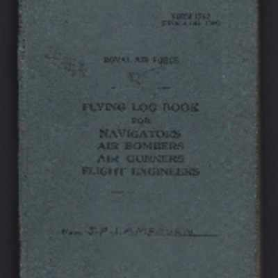
John Philip Lambourn’s flying log book for navigators, air bombers, air gunners, flight engineers
Tags: 1653 HCU; 514 Squadron; aircrew; bombing; bombing of Luftwaffe night-fighter airfields (15 August 1944); flight engineer; Heavy Conversion Unit; Initial Training Wing; Lancaster; Lancaster Finishing School; Normandy campaign (6 June – 21 August 1944); RAF Bridlington; RAF Chedburgh; RAF Feltwell; RAF St Athan; RAF Waterbeach; Stirling; tactical support for Normandy troops; training
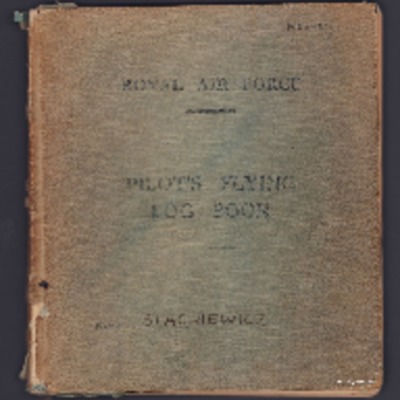
Mieczysław Stachiewicz's RAF Pilot’s Flying Log Book
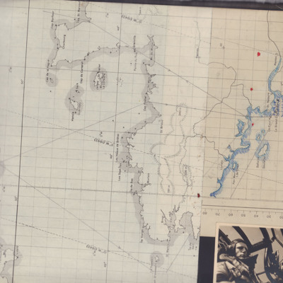
Chart of North West France
There is also a photograph of a pilot in a Wellington cockpit.
Tags: aircrew; bombing; navigator; pilot; Wellington
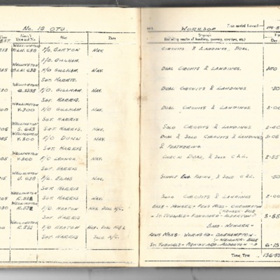
John Eppel's flying log book
Tags: 1662 HCU; 18 OTU; 550 Squadron; Advanced Flying Unit; Air Observers School; aircrew; Anson; Battle; bombing; Bombing and Gunnery School; Halifax; Heavy Conversion Unit; Lancaster; Lancaster Finishing School; navigator; Operational Training Unit; RAF Bitteswell; RAF Blyton; RAF Hemswell; RAF North Killingholme; RAF Worksop; training; Wellington
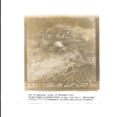
Calais
William H Cooke’s navigators, air bombers and air gunners flying log book
Tags: 16 OTU; 1661 HCU; 49 Squadron; 99 Squadron; air gunner; Air Gunnery School; aircrew; Anson; B-24; bombing of Luftwaffe night-fighter airfields (15 August 1944); Bombing of Trossy St Maximin (3 August 1944); crash; Heavy Conversion Unit; Lancaster; Lancaster Finishing School; Normandy campaign (6 June – 21 August 1944); Operational Training Unit; radar; RAF Bishops Court; RAF Fiskerton; RAF Fulbeck; RAF Syerston; RAF Upper Heyford; RAF Winthorpe; Stirling; tactical support for Normandy troops; training; Wellington
Interview with James Ferguson Latimer
Rex Searle's flying log book.
Tags: 120 Squadron; 1666 HCU; 206 Squadron; 210 Squadron; 42 Squadron; 432 Squadron; 47 Squadron; air gunner; aircrew; Anson; bombing; flight engineer; Halifax; Halifax Mk 2; Halifax Mk 3; Halifax Mk 7; Heavy Conversion Unit; Lancaster; Lancaster Mk 3; Lincoln; RAF Abingdon; RAF Colerne; RAF Dishforth; RAF East Moor; RAF Kinloss; RAF Leconfield; RAF St Athan; RAF St Eval; RAF St Mawgan; RAF Wombleton; Shackleton; training
Mr Churchill on his eastern journey
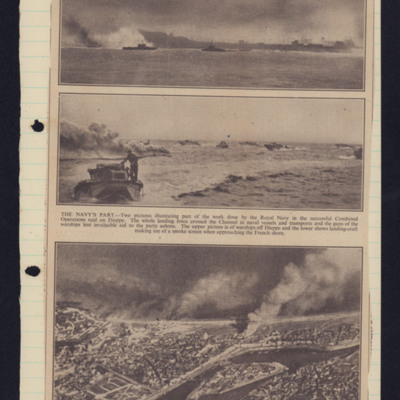
Warships off Dieppe
Tags: aerial photograph
British prisoners in chains
Tags: prisoner of war
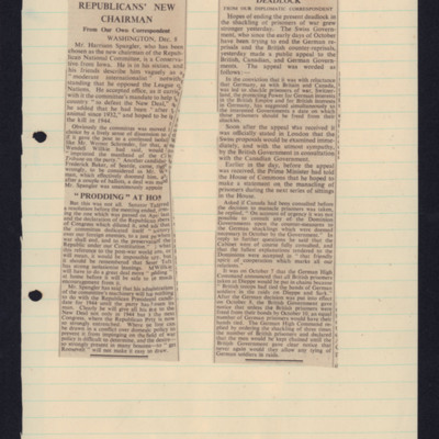
Two articles: implacable foe of new deal and shackling prisoners of war
Tags: prisoner of war
Headline cutting
Homer Lawson’s observer’s and air gunner’s flying log book
Tags: 10 Squadron; 1663 HCU; 19 OTU; 77 Squadron; Advanced Flying Unit; aircrew; Anson; anti-aircraft fire; bombing; bombing of the Normandy coastal batteries (5/6 June 1944); C-47; Cook’s tour; Halifax; Halifax Mk 3; Heavy Conversion Unit; Ju 88; mine laying; navigator; Normandy campaign (6 June – 21 August 1944); Operational Training Unit; RAF Full Sutton; RAF Kinloss; RAF Llandwrog; Raf Mauripur; RAF Melbourne; RAF Penrhos; RAF Rufforth; training; Wellington; Whitley
Flying Officer A F Thomas’ RAF navigator’s, air bomber’s and air gunner’s flying log book
Tags: 149 Squadron; 1651 HCU; 1665 HCU; 90 Squadron; aircrew; bombing; Cook’s tour; flight engineer; Heavy Conversion Unit; Lancaster; Lancaster Mk 1; Lancaster Mk 3; mine laying; Operation Dodge (1945); Operation Exodus (1945); Operation Manna (29 Apr – 8 May 1945); RAF Feltwell; RAF Methwold; RAF Stradishall; RAF Tuddenham; RAF Woolfox Lodge; RAF Wratting Common; Special Operations Executive; Stirling; training
Jo Lancaster’s pilots flying log book. One
Tags: 12 Squadron; 20 OTU; 22 OTU; 28 OTU; 40 Squadron; aircrew; bombing; bombing of Cologne (30/31 May 1942); Flying Training School; Halifax; Lancaster; Magister; Martinet; mine laying; Operational Training Unit; Oxford; pilot; RAF Ansty; RAF Binbrook; RAF Desford; RAF Kirmington; RAF Lossiemouth; RAF Sealand; RAF Sywell; RAF Ternhill; RAF Upavon; RAF Wellesbourne Mountford; RAF Wickenby; RAF Wymeswold; RAF Wyton; Spitfire; Stirling; Tiger Moth; training; Wellington; Whitley
Walter Goodwin’s pilots flying log book
Tags: 1661 HCU; 21 OTU; 463 Squadron; Advanced Flying Unit; aircrew; Anson; Cook’s tour; Flying Training School; Heavy Conversion Unit; Lancaster; Operational Training Unit; Oxford; pilot; RAF Clyffe Pypard; RAF Moreton in the Marsh; RAF Shawbury; RAF Skellingthorpe; RAF Winthorpe; Tiger Moth; training; Wellington
Terry Ford’s Royal Canadian Air Force pilot’s flying log book. One
Tags: 1653 HCU; 20 OTU; 75 Squadron; 84 OTU; Advanced Flying Unit; aircrew; Anson; bombing; Flying Training School; Harvard; Heavy Conversion Unit; Initial Training Wing; Lancaster; Lancaster Finishing School; Lancaster Mk 1; Lancaster Mk 3; mine laying; Operational Training Unit; Oxford; pilot; RAF Chedburgh; RAF Dalcross; RAF Desford; RAF Feltwell; RAF Filton; RAF Lossiemouth; RAF Lyneham; RAF Mepal; Stirling; Tiger Moth; training; Wellington; York

