Browse Items (26 total)

  • Tags: RAF Stradishall
  • Type is exactly "Photograph"

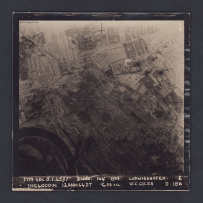
PDarbyCAH18010021.jpg
A vertical target photograph of Ludwigshafen, orientated with the south west at the top. In the lower left corner is a bend in the River Rhine and the entrance to Kaiserworthhafen docks. Just visible at the bottom edge is the end of Luitpoldhafen…

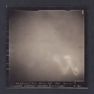
PDarbyCAH18010019.jpg
An aerial photograph of cloud-covered Neuss, near Düsseldorf. The cloud obscures all detail and all that can be seen through the cloud is a large glow, probably from the ground, and the wavy trace of a flare.

The photograph is captioned:
'1814…

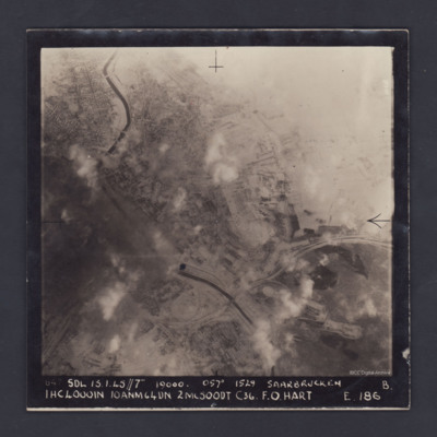
PDarbyCAH18010017.jpg
A vertical aerial photograph of the centre of Saarbrücken, orientated with south-east at the top and clearly showing the River Saar. Cloud and/or smoke covers parts of the town but residential areas, the railway and other details can still be seen.…

PDarbyCAH18010015.jpg
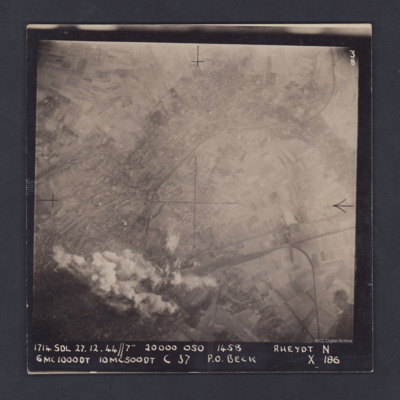
A vertical aerial photograph of Rheydt, near Mönchengladbach. The railways clearly stand out, one entering the image at lower right, branching out into a marshalling yard and another sweeping in from the upper right corner of the image. The centre…

PDarbyCAH18010013.jpg
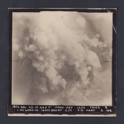
A vertical aerial photograph taken during a bombing operation at Trier. Much of the detail is obscured by bomb explosions but in the bottom right corner are fields and roads.

It is captioned :
'1654 SDL 23.12.44 // 7" 17000 097 1433 Trier B
1…

PDarbyCAH18010011.jpg
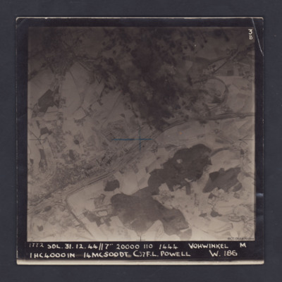
A vertical aerial photograph of Vohwinkel, near Wuppertal, orientated so that the top edge is roughly south. The multi-track railway is obvious and runs from the lower left corner to a large marshalling yard at the mid-right edge. A branch line joins…

PDarbyCAH18010009.jpg
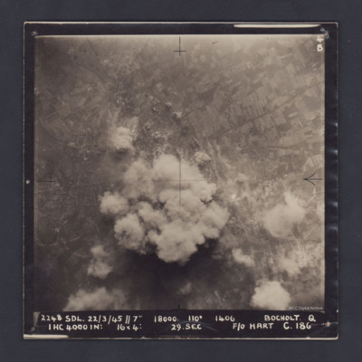
A vertical aerial photograph of Bocholt. On the left side is the distinctive diamond shape of Friedhof Bocholt cemetery and on the middle left edge is the artificial lake, the Bocholter Aasee. The upper left quarter of the image shows open…

PDarbyCAH18010007.jpg
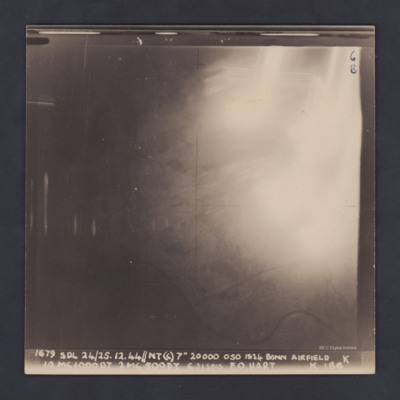
A vertical aerial photograph of Hangelar (Bonn) airfield taken during a bombing operation. The image is orientated with south-east at the top edge. A large, bright glare obscures most of the ground detail but the River Seig is visible, meandering…

PDarbyCAH18010005.jpg
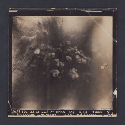
A vertical aerial photograph taken during a bombing operation at Trier. Some industrial buildings can be seen on the left. Details in the central area are obscured by smoke from explosions. The photograph is captioned:'1659 SDL 23.12.44 // 7" 17500…

PDarbyCAH18010003.jpg
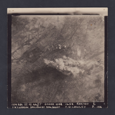
A clear, vertical, aerial photograph taken during a bombing operation at Rheydt, a borough of Mönchengladbach, orientated with south-east at the top edge. There are open fields visible in the upper left, upper right and the lower right corners of…

PDarbyCAH18010001.jpg
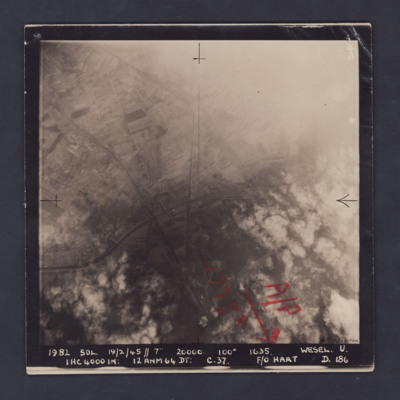
A vertical aerial photograph of Wesel, orientated with south to the top. Wesel is not covered by the photograph but lies below the bottom edge. However, the Wesel-Datteln Kanal is clearly visible, cutting across the middle of the frame, as are the…

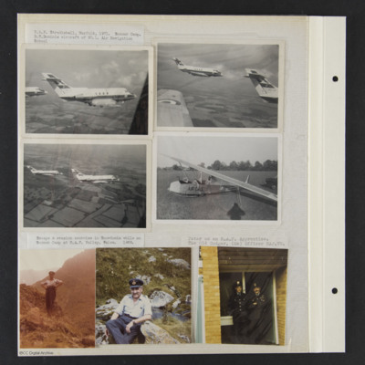
PProbynEA17010033.jpg
Seven photographs from an album.
Photos 1, 2 and 3 are air to air photographs of two Dominies, captioned 'RAF Stradishall, Norfolk, 1971. Summer Camp. Dominie aircraft of No 1 Air Navigation School'.
Photo 4 is a Slingsby Cadet glider of the Air…

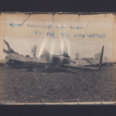
PTurnerCF1606.jpg
A Lancaster with its fuselage broken into sections in a field. In one photograph a man is sitting in the pilot's seat. The first image is annotated 'Fortune was kind! To me. The day after'.

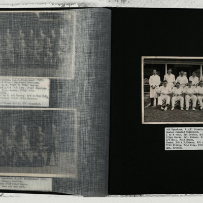
PThomasAF20050042.jpg
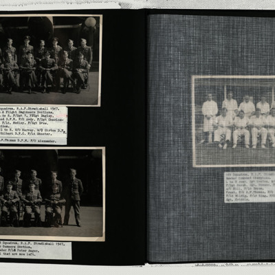
A photograph of the Bomber Command cricket champions. The group includes Arthur Thomas. Each individual is named in the caption.

PThomasAF20050041.jpg
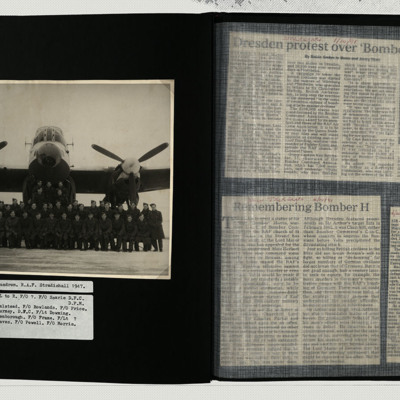
Photo 1 is a group of Pilots and Flight Engineers arranged in front of a Lancaster. Each individual is named in the caption.
Photo 2 is a group of eight air gunners arranged in front of a Lancaster.

PThomasAF20050040.jpg
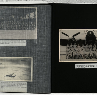
A group of airmen arranged in front of a white painted Lancaster. They are in khaki and the caption reads Castel Benito which is now the international airport at Tripoli.

PThomasAF20050039.jpg
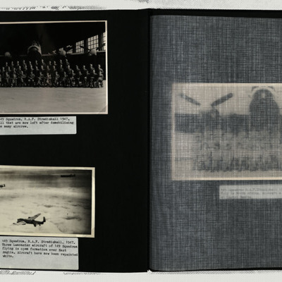
Photo 1 is a group of airmen arranged in front of a Lancaster, parked in a hangar.
Photo 2 is three white painted Lancasters in loose formation flying over clouds.

PThomasAF20040028.jpg
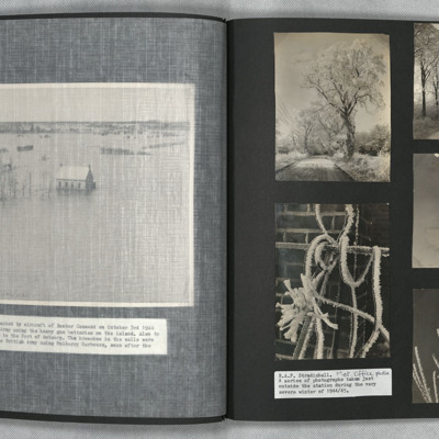
Photo 1 and 2 are icy roads with heavily frosted trees.
Photos 3, 4 and 5 are close ups of frozen vegetation.
They are captioned 'Met Office photos'.

PThomasAF20040009.jpg
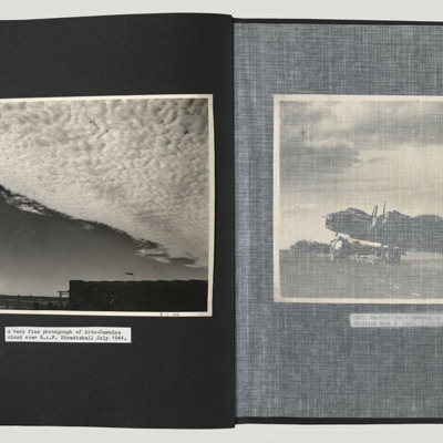
A cloudscape of alto-cumulus clouds on a windy day over Stradishall. In the foreground is a hangar with a fully extended windsock.

PTurnerAJ1721.jpg
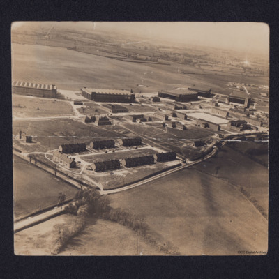
Oblique aerial photograph of a Royal Air Force station and airfield with quarters centre bottom, hangars across the centre with station buildings in front. Beyond is grass airfield. On the reverse a key to locations on the airfield including 'John's…

PTurnerAJ17030013.jpg
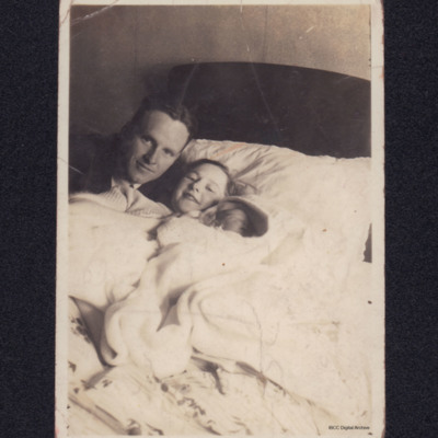
A woman and baby lie in bed, A man poses behind them. On the reverse crossed out 'Mrs A J Turner, 28 Married Qtrs, RAF Station Stradishall, Suffolk'.

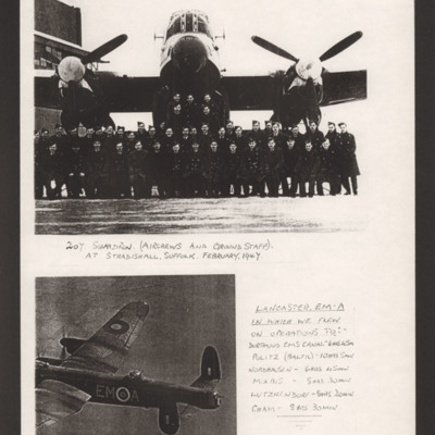
PStavesME16020013.jpg
Top is a group of airmen in front of a Lancaster. Captioned '207 Squadron (Aircrews and Ground Staff) At Stradishall, Suffolk. February 1947'.
Bottom is the rear of an air-to air view of a Lancaster captioned 'Lancaster EM-A in which we flew on…

PBanksP15020087.jpg
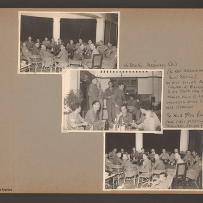
Photographs 1,2 and 3 are groups of airmen sitting and drinking. Captioned 'W/O Brixton Serenades Cpl's (ex RAF Stradishall Photo' section.) The only colour process failure at Feltwell due to his staff open colour marker film to light when unloaded…
Output Formats

atom, dc-rdf, dcmes-xml, json, omeka-xml, rss2