Browse Items (1413 total)
- Tags: aerial photograph
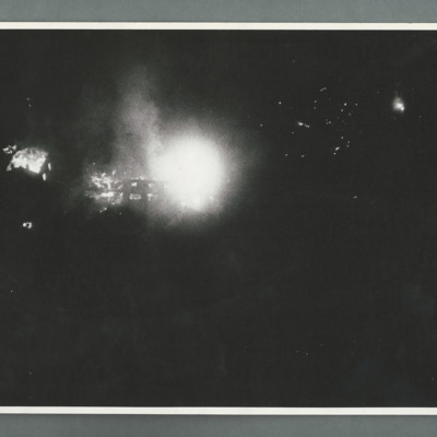
La Ricamerie factory
1311249 Flt Sgt Williamson, Air Gunner Lancaster
Tags: 106 Squadron; 5 Group; aerial photograph; air gunner; aircrew; B-17; bombing; bombing of Hamburg (24-31 July 1943); bombing of Kassel (22/23 October 1943); Bombing of Peenemünde (17/18 August 1943); Distinguished Flying Cross; Distinguished Flying Medal; Gee; H2S; Halifax; Ju 88; Lancaster; Lancaster Mk 3; Master Bomber; Me 110; mine laying; Mosquito; Oboe; Operational Training Unit; Pathfinders; pilot; RAF Cottesmore; RAF Croft; RAF Fulbeck; RAF Kirkham; RAF Metheringham; RAF Morpeth; RAF Saltby; RAF Swinderby; RAF Syerston; RAF Wigsley; Stirling; target indicator; target photograph; training; V-1; V-2; V-weapon; Wellington; Window
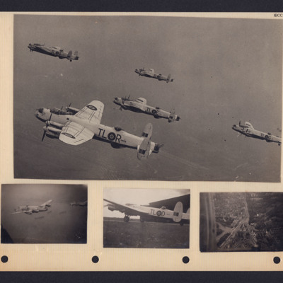
35 Squadron Lancasters
Bottom left - air-to-air view of two Lancasters in formation over water.
Bottom middle - side view of Lancaster squadron letters TL in front of a hangar.
Bottom right…
Tags: 35 Squadron; aerial photograph; Lancaster
617 squadron attack on St Cyr
Tags: 617 Squadron; aerial photograph; bombing; Lancaster
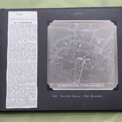
75 Squadron News Story
Item 1 is a newspaper cutting about 75 Squadron, dated 1943.
Item 2 is a vertical aerial photograph taken during a training exercise, annotated ' C.1. N.U. 10-3-45 F7" F/Lt Guinane' and captioned ' "G.H." Simulated…
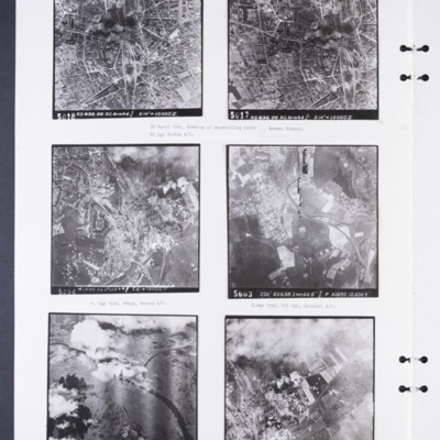
88 and 226 Squadron aerial photographs
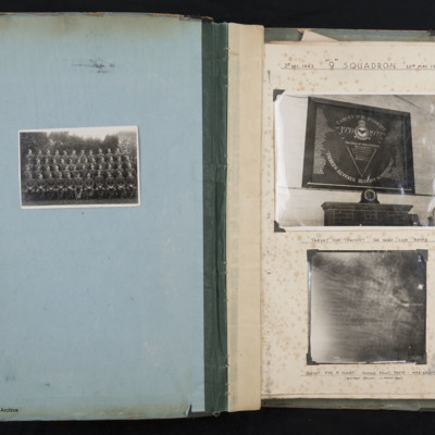
9 Squadron and Marignane
On the left page is a formal photograph of of 47 trainee airmen and one officer, arranged in 4 rows.
The righthand page is entitled '3rd DEC 1943 "9" SQUADRON 22ND MAY 1944'. It holds two…
A retrospective - Bomber Command No 625 Squadron
Tags: 1 Group; 625 Squadron; Advanced Flying Unit; aerial photograph; Air Observers School; aircrew; Anson; bombing; briefing; coping mechanism; crewing up; debriefing; Gee; ground personnel; H2S; Halifax; Lancaster; love and romance; military living conditions; military service conditions; mine laying; Morse-keyed wireless telegraphy; navigator; Nissen hut; nose art; Operation Exodus (1945); Operation Manna (29 Apr – 8 May 1945); Operational Training Unit; P-51; RAF Heaton Park; RAF Husbands Bosworth; RAF Kelstern; RAF Millom; RAF Scampton; RAF Sturgate; searchlight; target photograph; training; V-2; V-weapon; Wellington; Window; Women’s Auxiliary Air Force
A Tour of Operations with RAF Bomber Command No XV/15 Squadron Mildenhall
Covers his operational tour and bombing operations.
Tags: 1 Group; 115 Squadron; 149 Squadron; 15 Squadron; 186 Squadron; 195 Squadron; 218 Squadron; 3 Group; 5 Group; 514 Squadron; 6 Group; 617 Squadron; 622 Squadron; 75 Squadron; 8 Group; 90 Squadron; aerial photograph; air gunner; aircrew; anti-aircraft fire; B-17; B-24; Battle; Blenheim; bomb aimer; bombing; Churchill, Winston (1874-1965); Cook’s tour; crewing up; Distinguished Flying Cross; Distinguished Flying Medal; Distinguished Service Order; escaping; flight engineer; Gee; George VI, King of Great Britain (1895-1952); ground crew; ground personnel; H2S; Harris, Arthur Travers (1892-1984); Ju 88; killed in action; lack of moral fibre; Lancaster; Lancaster Mk 3; Master Bomber; Me 109; mess; mine laying; Mosquito; navigator; Normandy campaign (6 June – 21 August 1944); Oboe; Operational Training Unit; Pathfinders; pilot; prisoner of war; propaganda; radar; RAF Chedburgh; RAF Feltwell; RAF Honeybourne; RAF Husbands Bosworth; RAF Lakenheath; RAF Lindholme; RAF Mepal; RAF Methwold; RAF Mildenhall; RAF Sealand; RAF Stradishall; RAF Tuddenham; RAF Uxbridge; RAF Waterbeach; RAF Weston Zoyland; RAF Witchford; RAF Wratting Common; RAF Wyton; Spitfire; Stirling; tactical support for Normandy troops; target indicator; target photograph; V-1; V-2; V-weapon; Wellington; Window; wireless operator; Women’s Auxiliary Air Force
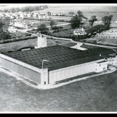
A V Roe & Co Ltd Experimental station
Tags: aerial photograph; hangar
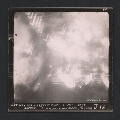
Aachen
Tags: aerial photograph; Cook’s tour
Aachen
Tags: aerial photograph; bombing; Cook’s tour
Aachen
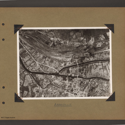
Abbeville
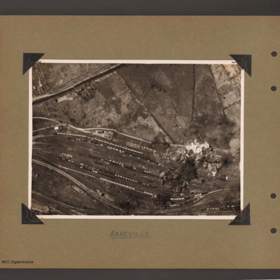
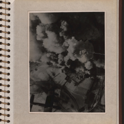
Abbeville marshalling yard
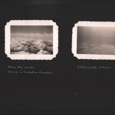
Above the Clouds and Collingwood
Tags: aerial photograph
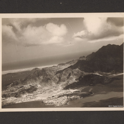
Aden
Aerial photograph with a Lancaster
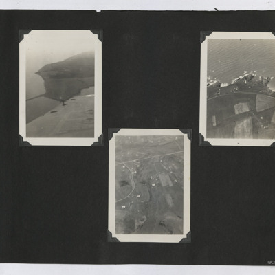
Aerial Photographs
#1 is a view of a coast with a causeway.
#2 is a rocky coast with a lighthouse.
#3 is scattered settlements with small fields.
Tags: aerial photograph
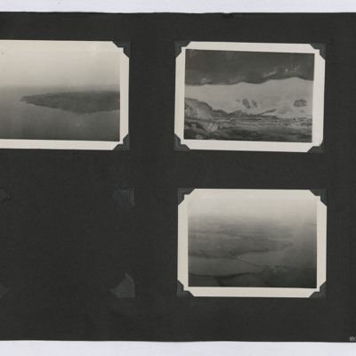
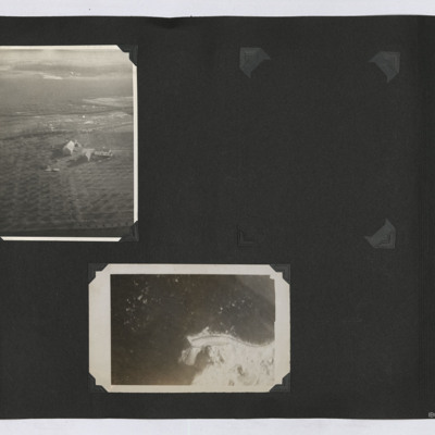
Aerial Photographs
1. Oblique aerial view of a peninsula or island with the coastline visible.
2. Aerial view of the ground. A road cuts through the topography in the lower part of the image.
3.…
Tags: aerial photograph
Aerial Photographs
1. An oblique aerial image of a farm with orchards.
2. A near vertical image of some coastline.
Tags: aerial photograph
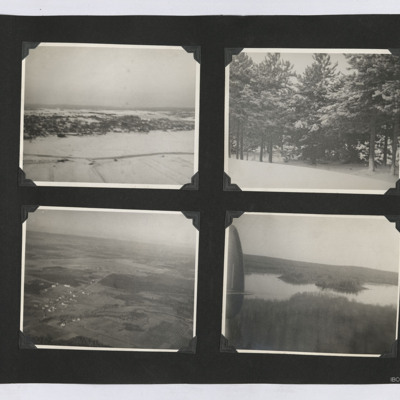
Aerial Photographs and Snow Scenes
1. An aerial oblique view of a a settlement on a snow covered hill side.
2. A view of some snow-covered trees.
3. An oblique aerial view of an airfield and surrounding farms.
4. An oblique aerial view of a lake set…
Tags: aerial photograph
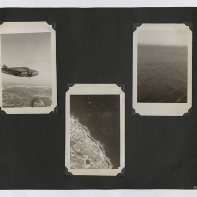
Aerial Photographs of a Lockheed Hudson, Coastline and Sea
1. Air to air view of Hudson L3 in flight.
2. Aerial photograph of some unidentified coastline.
3. Oblique aerial view of an area of sea.
Tags: aerial photograph; Hudson
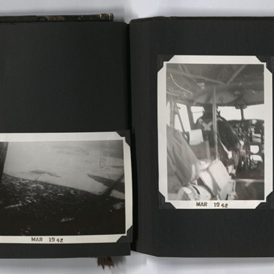
Aerial Photographs, Canada
#1 is a view across forests and a town.
#2 is a city, islands and bridges.
#3 is a pilot at the controls of an aircraft.
#4 is a grid street with a river under the wing of an aircraft.
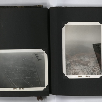
Captioned 'MAR 1942'…
Tags: aerial photograph; aircrew; pilot; training
Aerial Photographs, Canada
#1 is a city with a river.
#2 is a city at the side of a river.
#3 is a city with a regular grid street pattern and a river under the wing of an aircraft.
#4 is Montreal with three bridges crossing the St…
Tags: aerial photograph; training

