Aerial Photographs
Title
Aerial Photographs
Description
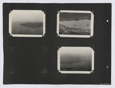
Three oblique aerial photographs from an album. From left to right:
1. Oblique aerial view of a peninsula or island with the coastline visible.
2. Aerial view of the ground. A road cuts through the topography in the lower part of the image.
3. Oblique aerial view of a large river or estuary with fields either side. A road runs from the mid left to the lower right, crossing the body of water and passing through a small settlement.
Coverage
Type
Format
Three b/w photographs on an album page
Conforms To
Publisher
Rights
This content is available under a CC BY-NC 4.0 International license (Creative Commons Attribution-NonCommercial 4.0). It has been published ‘as is’ and may contain inaccuracies or culturally inappropriate references that do not necessarily reflect the official policy or position of the University of Lincoln or the International Bomber Command Centre. For more information, visit https://creativecommons.org/licenses/by-nc/4.0/ and https://ibccdigitalarchive.lincoln.ac.uk/omeka/legal.
Contributor
Identifier
PRidingRH21050029
Collection
Citation
“Aerial Photographs,” IBCC Digital Archive, accessed July 22, 2024, https://ibccdigitalarchive.lincoln.ac.uk/omeka/collections/document/37648.
Item Relations
This item has no relations.

