Browse Items (1442 total)
- Tags: aerial photograph
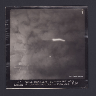
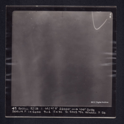
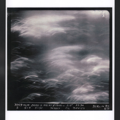
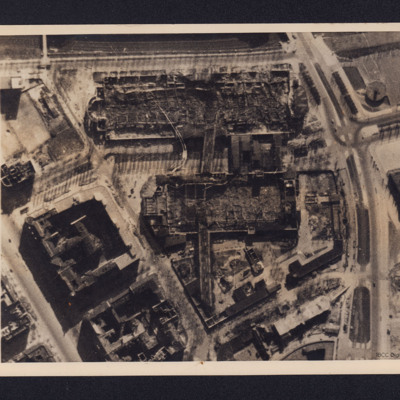
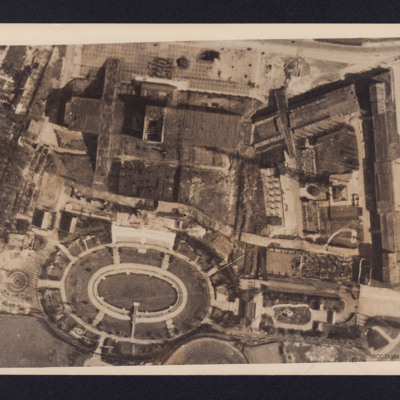
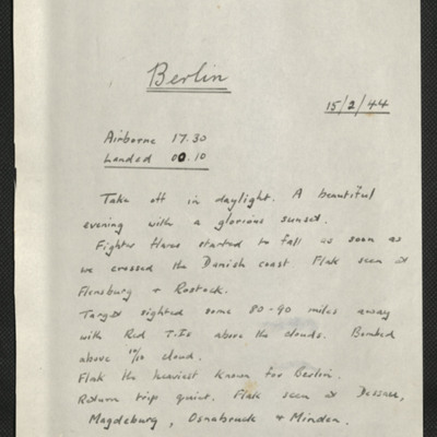
Berlin
Berlin
Berlin
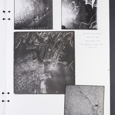
Berlin and Brest
Photograph 2 shows a mostly rural area, much obscured by anti-aircraft fire and light flare. Captioned 'T.K.A.…
Berlin Short Wave Station
Berlin Short Wave Station Charlottenburg
Berlin, Edward King's 2nd operation of his tour
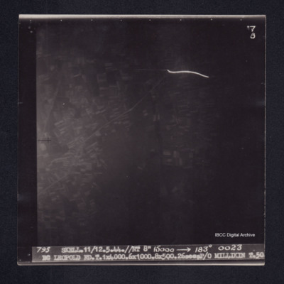
BG Leopold
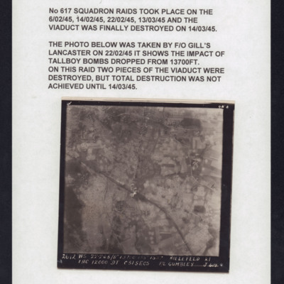
Bielefeld Viaduct
This item was sent to the IBCC Digital Archive already in digital form. No better quality copies are…
Tags: aerial photograph; bombing; Cook’s tour
Bielefeld: Vielesible viaduct
Big Otter Creek at Port Burwell
In the corner is 'P 8' and a counter reading '01220', the…
Tags: aerial photograph
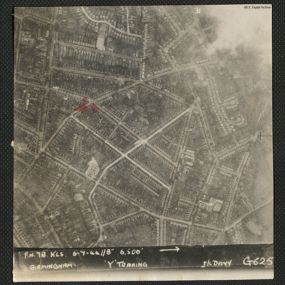
Birmingham
Identification kindly provided by Kenneth R.…
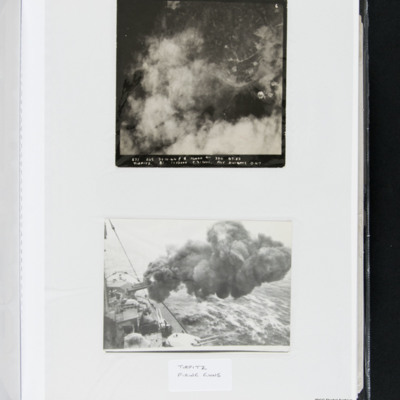
Bob Knights' target photograph of the Tirpitz
The Tirpitz firing its guns, taken from onboard the vessel.
Bob Smith's Memoirs
Tags: 106 Squadron; 115 Squadron; 142 Squadron; 15 Squadron; 1653 HCU; 166 Squadron; 3 Group; 4 Group; 44 Squadron; 467 Squadron; 49 Squadron; 5 Group; 619 Squadron; 622 Squadron; 640 Squadron; 76 Squadron; 78 Squadron; 84 OTU; Advanced Flying Unit; aerial photograph; air gunner; aircrew; Anson; anti-aircraft fire; bale out; Beaufighter; bomb aimer; bombing; Boston; crash; crewing up; Distinguished Flying Cross; entertainment; flight engineer; H2S; Halifax; Hampden; killed in action; Lancaster; Lancaster Finishing School; Master Bomber; mess; Morse-keyed wireless telegraphy; Mosquito; navigator; Nissen hut; Oboe; observer; Operational Training Unit; Oxford; pilot; prisoner of war; RAF Bishops Court; RAF Breighton; RAF Bridlington; RAF Cardington; RAF Chedburgh; RAF Cranwell; RAF Desborough; RAF Dunholme Lodge; RAF Feltwell; RAF Halfpenny Green; RAF Harrington; RAF Kirmington; RAF Leconfield; RAF Mildenhall; RAF Silloth; RAF Stradishall; RAF Tempsford; RAF Waddington; RAF West Freugh; RAF White Waltham; RAF Wigtown; RAF Witchford; Red Cross; sport; Stalag Luft 3; Stalag Luft 7; Stirling; training; V-1; Wellington; wireless operator
Bob Smith's Memoirs 1
Tags: 115 Squadron; 142 Squadron; 15 Squadron; 166 Squadron; 4 Group; 44 Squadron; 463 Squadron; 466 Squadron; 49 Squadron; 5 Group; 619 Squadron; 622 Squadron; 640 Squadron; 76 Squadron; 78 Squadron; aerial photograph; Air Observers School; aircrew; Anson; Beaufighter; bomb aimer; Boston; crash; Distinguished Flying Cross; entertainment; H2S; Halifax; Initial Training Wing; killed in action; Lancaster; Morse-keyed wireless telegraphy; Mosquito; navigator; Oboe; observer; Operational Training Unit; pilot; prisoner of war; RAF Breighton; RAF Dunholme Lodge; RAF Halfpenny Green; RAF Holme-on-Spalding Moor; RAF Kirmington; RAF Leconfield; RAF Mildenhall; RAF Moreton in the Marsh; RAF Waddington; RAF Witchford; recruitment; Red Cross; sport; Stalag Luft 3; Stalag Luft 7; training; V-1; V-weapon; Wellington; wireless operator
Bob's aircraft
Whitley aircraft, B-DY, C-DY and E-DY, flying in formation; bottom, crashed Whitley MH-H, annotated 'Usworth 17 11…
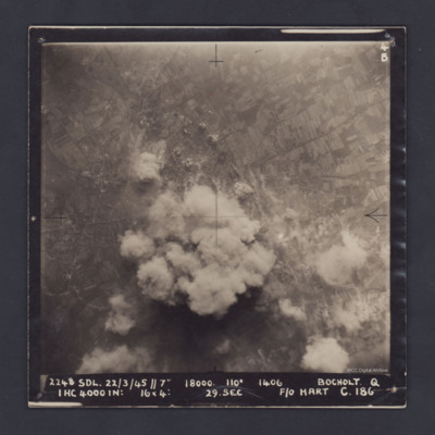
Bocholt
Bocholt
Bochum
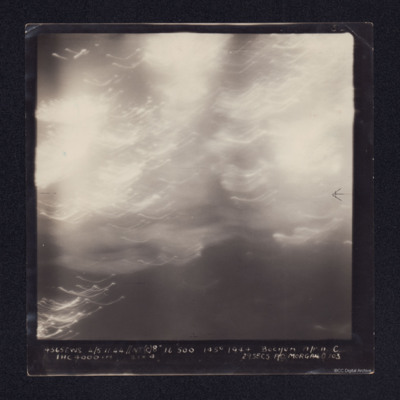
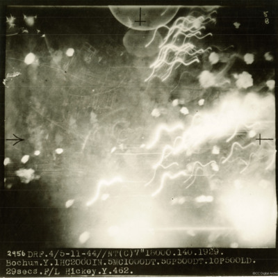
A target photograph in which the ground is almost completely obscured by smoke or cloud. It…
Bochum
It is annotated '4565 EWS 4/5.11.44// NT(8") 16500 145° 1944 BOCHUM A/P.A.C. 1HC 4000 [indecipherable] 29 SECS F/O MORGAN O 103'
Bochum
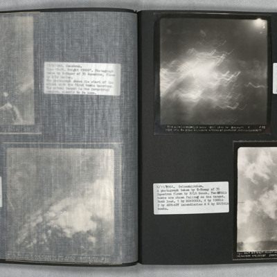
Bochum and Gelsenkirchen
Photo 2 is a vertical aerial photography of Gelsenkirchen. Two bombs can be seen falling.

