Browse Items (94 total)
- Spatial Coverage is exactly "Germany--Wesel (North Rhine-Westphalia)"
John Brittain's flying log book
Tags: 1653 HCU; 17 OTU; 195 Squadron; air gunner; Air Gunnery School; aircrew; Anson; bombing; bombing of Helgoland (18 April 1945); Cook’s tour; Heavy Conversion Unit; Lancaster; Operation Exodus (1945); Operation Manna (29 Apr – 8 May 1945); Operational Training Unit; RAF Chedburgh; RAF Feltwell; RAF Morpeth; RAF North Luffenham; RAF Silverstone; RAF Turweston; RAF Wratting Common; Stirling; training; Wellington
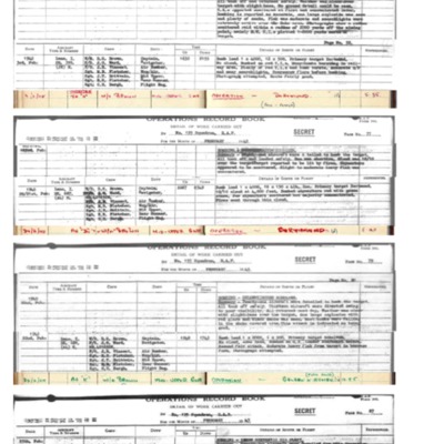
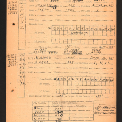
Extracts from 195 Squadron Operations Record book covering John Brittain's operations
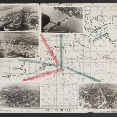
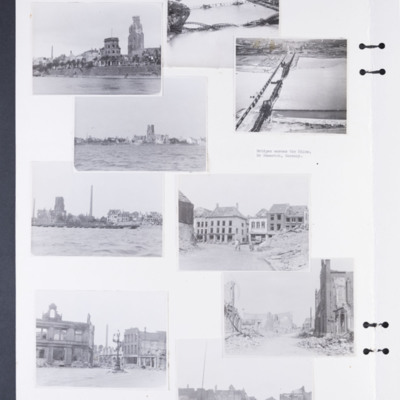
Map and photographs of targets
Tags: aerial photograph; bombing; Cook’s tour
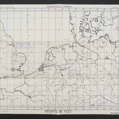
Map of Cooks Tour June 1945
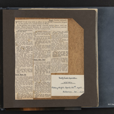
Thirty first operation, Wesel
Tags: bombing; propaganda
Basil Ambrose’s flying log book for navigators, air bombers, air gunners, flight engineers
Tags: 1660 HCU; 467 Squadron; 617 Squadron; aircrew; bombing; flight engineer; Heavy Conversion Unit; Lancaster; Lancaster Finishing School; Lincoln; Operation Dodge (1945); Operation Exodus (1945); Oxford; RAF Binbrook; RAF St Athan; RAF Swinderby; RAF Syerston; RAF Waddington; RAF Woodhall Spa; Stirling; training
Wesel [entry point]
Charles Godfey's observer's and air gunner's flying log book
Tags: 11 OTU; 15 OTU; 20 OTU; 37 Squadron; 635 Squadron; air gunner; Air Gunnery School; aircrew; Anson; anti-aircraft fire; bombing; bombing of the Normandy coastal batteries (5/6 June 1944); Bombing of Trossy St Maximin (3 August 1944); C-47; Cook’s tour; Defiant; Dominie; evading; Hampden; killed in action; Lancaster; Martinet; missing in action; Normandy campaign (6 June – 21 August 1944); Operation Dodge (1945); Operation Exodus (1945); Operation Manna (29 Apr – 8 May 1945); Operational Training Unit; Oxford; Pathfinders; Proctor; RAF Abingdon; RAF Andover; RAF Bassingbourn; RAF Blyton; RAF Brize Norton; RAF Carlisle; RAF Church Fenton; RAF Cottesmore; RAF Cranwell; RAF Downham Market; RAF Graveley; RAF Hampstead Norris; RAF Harwell; RAF Hemswell; RAF Ingham; RAF Leconfield; RAF Leeming; RAF Linton on Ouse; RAF Lossiemouth; RAF Manby; RAF Marston Moor; RAF Melton Mowbray; RAF Middleton St George; RAF Moreton in the Marsh; RAF Newmarket; RAF Skipton on Swale; RAF St Eval; RAF Sywell; RAF Upavon; RAF Upper Heyford; RAF Upwood; RAF Waddington; RAF Warboys; RAF Westcott; RAF Wittering; RAF Wyton; shot down; Stirling; tactical support for Normandy troops; training; Victoria Cross; Wellington; wireless operator
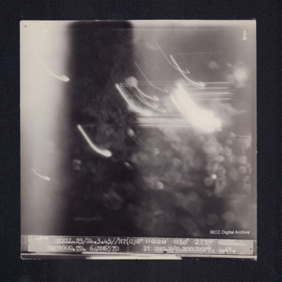
Wesel
Bomb aimers briefing 23 March 1945 - Wesel
Tags: 44 Squadron; aircrew; bomb aimer; bombing; briefing; Mosquito; Oboe; RAF Spilsby; target indicator
Bomb damage to Emmerich, Cologne and Weser
Photograph 2 is a low level oblique photograph of Cologne, with bomb damaged Hohenzollern Bridge.
Photograph 4 is a low level oblique photograph of Wesel with bomb damaged…
Tags: aerial photograph; bombing; Cook’s tour
Wesel (North Rhine-Westphalia) [entry point]
David Sanders's flying log book for navigators, air bombers, air gunners and, flight engineers
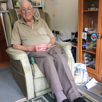
Interview with Ray Charlton
Leonard Green’s navigator’s, air bomber’s and air gunner’s flying log book
Tags: 1660 HCU; 29 OTU; 50 Squadron; 61 Squadron; 83 Squadron; Advanced Flying Unit; aircrew; Anson; bombing; bombing up; Cook’s tour; Dominie; Harris, Arthur Travers (1892-1984); Heavy Conversion Unit; Lancaster; Lancaster Finishing School; Lancaster Mk 1; Lancaster Mk 3; Manchester; military service conditions; Operation Dodge (1945); Operation Exodus (1945); Operational Training Unit; perception of bombing war; Proctor; RAF Bitteswell; RAF Bruntingthorpe; RAF Coningsby; RAF Manby; RAF Skellingthorpe; RAF Swinderby; RAF Syerston; RAF Wigtown; training; Wellington; wireless operator
David Sanders personal record of operations
Tags: 189 Squadron; 619 Squadron; aircrew; bombing; flight engineer; fuelling; Lancaster; Me 109; RAF Strubby
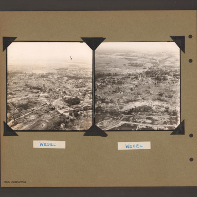
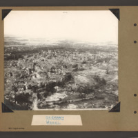
Wesel
Tags: aerial photograph; bombing; Cook’s tour
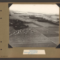
Hamilcar gliders near Wesel
Tags: aerial photograph; Cook’s tour; Hamilcar
Wesel
Tags: aerial photograph; bombing; Cook’s tour

