Browse Items (285 total)
- Spatial Coverage is exactly "Atlantic Ocean--English Channel"
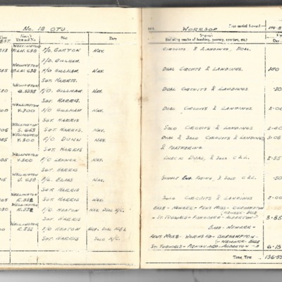
John Eppel's flying log book
Tags: 1662 HCU; 18 OTU; 550 Squadron; Advanced Flying Unit; Air Observers School; aircrew; Anson; Battle; bombing; Bombing and Gunnery School; Halifax; Heavy Conversion Unit; Lancaster; Lancaster Finishing School; navigator; Operational Training Unit; RAF Bitteswell; RAF Blyton; RAF Hemswell; RAF North Killingholme; RAF Worksop; training; Wellington
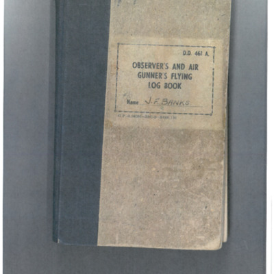
John Francis Bank's observer's and air gunner's flying log book
John Philip Lambourn’s flying log book for navigators, air bombers, air gunners, flight engineers
Tags: 1653 HCU; 514 Squadron; aircrew; bombing; bombing of Luftwaffe night-fighter airfields (15 August 1944); flight engineer; Heavy Conversion Unit; Initial Training Wing; Lancaster; Lancaster Finishing School; Normandy campaign (6 June – 21 August 1944); RAF Bridlington; RAF Chedburgh; RAF Feltwell; RAF St Athan; RAF Waterbeach; Stirling; tactical support for Normandy troops; training
John Robert Watson’s observer’s and air gunner’s flying log book
Tags: 12 Squadron; 156 Squadron; 1667 HCU; 85 OTU; aircrew; bombing; bombing of Nuremberg (30 / 31 March 1944); bombing of the Normandy coastal batteries (5/6 June 1944); flight engineer; Halifax; Halifax Mk 5; Heavy Conversion Unit; Lancaster; Lancaster Mk 1; Lancaster Mk 3; Me 410; Normandy campaign (6 June – 21 August 1944); Operational Training Unit; Oxford; Pathfinders; RAF Faldingworth; RAF Husbands Bosworth; RAF Upwood; RAF Warboys; RAF Wickenby; tactical support for Normandy troops; training; V-1; V-weapon; Wellington
John Thorp's list of operations
John Youngs’ flying log book for navigators, air bombers, air gunners and flight engineers
K A L Killeen’s observer’s and air gunner’s flying log book
Tags: 115 Squadron; 1651 HCU; 83 OTU; aircrew; Anson; bombing; bombing of the Le Havre E-boat pens (14/15 June 1944); bombing of the Normandy coastal batteries (5/6 June 1944); Heavy Conversion Unit; Lancaster; Lancaster Finishing School; navigator; Normandy campaign (6 June – 21 August 1944); Operational Training Unit; Oxford; Proctor; RAF Feltwell; RAF Peplow; RAF Witchford; RAF Wratting Common; Stirling; tactical support for Normandy troops; training; Wellington
Keith Thiele - Royal New Zealand Air Force pilot's flying log book
Tags: 10 OTU; 1661 HCU; 22 OTU; 405 Squadron; 467 Squadron; aircrew; Anson; B-24; bombing of Cologne (30/31 May 1942); C-47; Dominie; Flying Training School; forced landing; Gneisenau; Halifax; Halifax Mk 2; Harvard; Heavy Conversion Unit; Hudson; Ju 52; Lancaster; Magister; Me 109; Me 262; mine laying; Operational Training Unit; Oxford; pilot; RAF Abingdon; RAF Bottesford; RAF Hendon; RAF Hullavington; RAF Lympne; RAF Marston Moor; RAF Pocklington; RAF Swanton Morley; RAF Tangmere; RAF Thorney Island; RAF Waddington; RAF Wellesbourne Mountford; Scharnhorst; Spitfire; Tiger Moth; training; Typhoon; V-1; V-2; V-weapon; Ventura; Wellington; Whitley
L Kirrage's flying log book for navigators, air bombers. air gunners and flight engineers
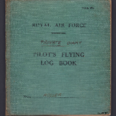
L V Rosser - private diary operations
Tags: 115 Squadron; aircrew; bombing; Halifax; Halifax Mk 1; Lancaster; pilot; Whitley
L V Rosser’s pilots flying log book. One
Tags: 10 OTU; 12 OTU; 1668 HCU; 19 OTU; 26 OTU; 35 Squadron; 51 Squadron; 58 Squadron; 77 Squadron; aircrew; Anson; bombing; Defiant; Flying Training School; Halifax; Halifax Mk 1; Heavy Conversion Unit; Hurricane; Initial Training Wing; Lysander; Magister; Martinet; Operational Training Unit; Oxford; pilot; RAF Abingdon; RAF Chipping Warden; RAF Dishforth; RAF Gamston; RAF Grantham; RAF Kinloss; RAF Linton on Ouse; RAF Shenington; RAF Topcliffe; training; Wellington; Whitley
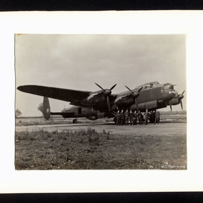
Lancaster and Fred Phillips' crew
Laurie Penn's pilots flying log book
Tags: 13 OTU; 17 OTU; 2 Group; 226 Squadron; Advanced Flying Unit; air sea rescue; aircrew; Anson; B-25; bombing; Boston; Flying Training School; Magister; Operational Training Unit; pilot; Proctor; RAF Hartford Bridge; RAF Northolt; RAF Swanton Morley; RAF Turweston; Second Tactical Air Force; training; Ventura
Le Havre
Le Havre
Le Havre
Le Havre
Le Havre
Le Havre
Le Havre
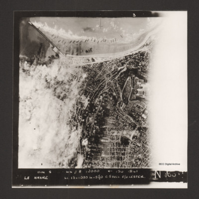
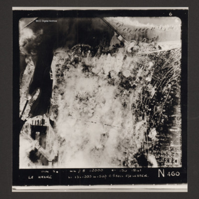
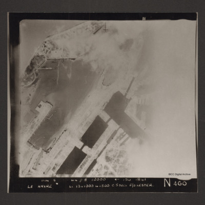
Captioned 'Captioned 'BIN 5-8-44 //8 12000' [arrow] 150 1841 Le Havre Li 13x1000 4x500 c5secs F/O Lester N 460'.
Le Havre
Le Havre
Le Havre
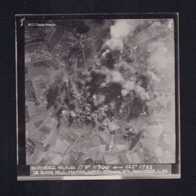
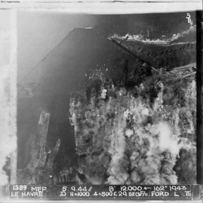
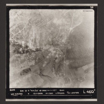
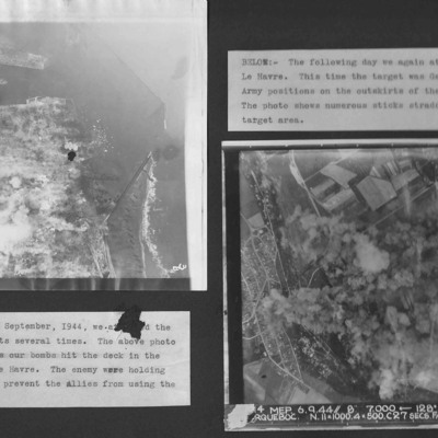
Photo 1 is bombing of the centre of Le Havre.
Photo 2 is taken on the next day and German Army positions on the outskirts were attacked.
Le Havre and target photographs
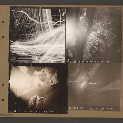
Top right an aerial vertical photograph of a canal junction. A canal runs from bottom left to a junction and then up to the top. At the junction a branch…
Le Havre and Terry Ford's crew
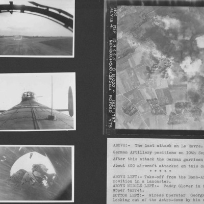
Photo 1 is a view during take off from the bomb aimer's station.
Photo 2 is air gunner Paddy Glover in his mid-upper turret.
Photo 3 is wireless operator George Tredinnick looking out of the astro-dome.
Photo 4 is…

