Browse Items (161 total)

  • Tags: reconnaissance photograph

PCheshireGL18050001.jpg
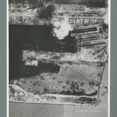
Reconnaissance photograph showing a damaged port area with a basin orientated left right with a pier in the centre. Caption 'Le Havre K2491(IMMED)'. On the reverse 'Date 11.7.44, Unit WS, Neg No. G103, 51:53'. Dock area has been heavily bombed, with…

PBanksP15010108.jpg
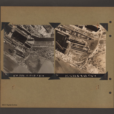
On the left an aerial vertical photograph of docks. A waterway runs from top left downward before turning horizontal across to the right. At the bend there is a narrow channel leading to a basin to the left. Below this is a further basin with a barge…

SKingEJ182986v10053.jpg
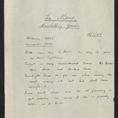
Five items, the first is Edward's description of the operation to the marshalling yards at Le Mans. He describes the anti-aircraft fire, and conditions over the target. Edward's navigation plot, the H2S plot of Le Mans, a press cutting with three…

PFOMetheringhamAF19050006.jpg
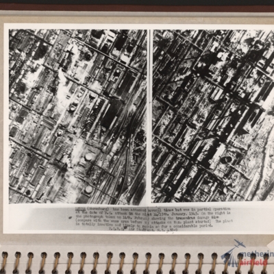
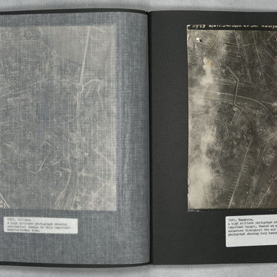
Side by side reconnaissance photographs showing an industrial area with buildings, roads and towards the right, some railway sidings. This industrial area is orientated from lower left to top right. Chimney smoke is seen on the left hand photograph.…

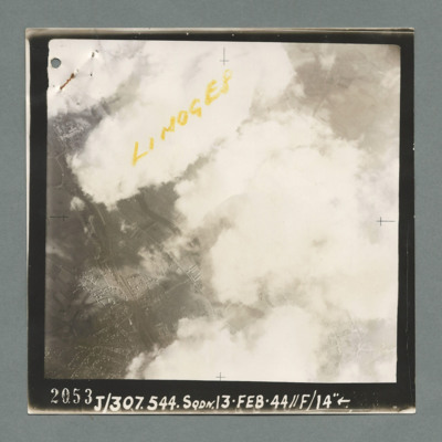
MCheshireGL72021-181210-100004.jpg
Reconnaissance photograph showing buildings on the left through a gap in clouds. Captioned 'Limoges' On the bottom '2053, J/307.544 Sqdn. 13.Feb.44, //F/14"'. On the reverse 'K144'.

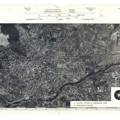
CCheshireGL-181210-010001.jpg
A reconnaissance photograph showing a large town with a river running from lower left to right. Just right of centre is a railway station with marshalling yard. A further marshalling yard is on the right side Both marshalling yards are indicated by…

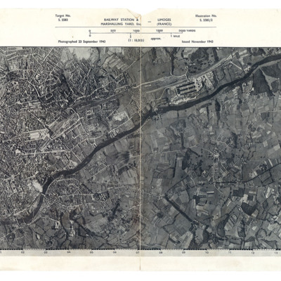
CCheshireGL-181210-010002.jpg
A reconnaissance photograph showing a large town with a river running from lower left to top right. A station and marshalling yard are in the middle of the left half and a further marshalling yard and the aero-engine factory are on the upper right…

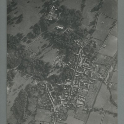
PCheshireGL18100166.jpg
Reconnaissance photograph of a village surrounded by open fields. A main road runs top centre to bottom. The image is orientated with south at the top. Captioned '0020, OCU331, 006519Sep55.1445Z, 20"Can/50 F/O JONES, RESTD'. On the reverse…

PGeachDG1604.jpg
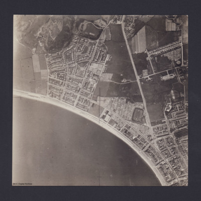
Vertical aerial photograph of Llandudno and Llandudno Bay taken during training operations. Craig-Y-Don Paddling Pool is the oval feature at left end of North Shore beach. Main road running top to bottom is Conway Road. Llandudno railway station and…

PThomasAF20040040.jpg
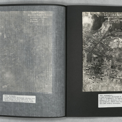
A vertical aerial photograph of the synthetic oil plant at Lutzkendorf, near Leipzig. The Geiseltalsee is the body of water at the top of the image. A railway line with sidings runs through the image from left to right. Possibly more sidings to top…

POHaraHF16020001.jpg
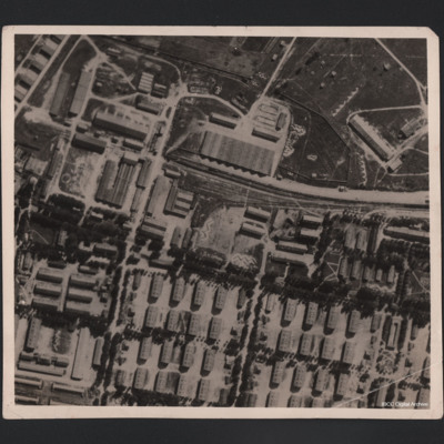
Aerial photograph of large military camp, showing it before and after bombing. A railway line runs in from the right centre of the photograph and terminates in upper centre, having split into three lines. There is a train in situ on the main line.…

PThomasAF20040038.jpg
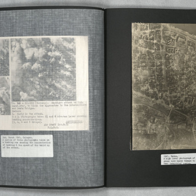
A vertical aerial photograph of Mainz. The
top right of the image shows the Rhine. The
bridge is Theodor-Heuss Brucke. The large
L shaped building to its left is Kurfurstliches
Schloss with various large government
buildings below it. The wide…

PThomasAF20040042.jpg
A vertical aerial photograph of Mannheim. The left of the image is shrouded by clouds. The main river running left to right is the Neckar. The spur below it being the Bonadieshafen and the one above it the Verbindungskanal. The road bridge crossing…

MCheshireGL72021-181210-080006.jpg
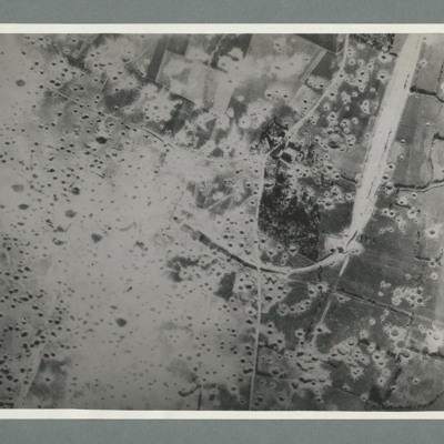
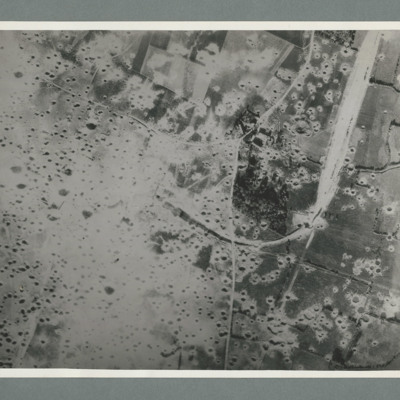
Reconnaissance photograph showing open countryside with fields. A railway runs from top right downwards then loops to the left, culminating in the centre, The left side is covered in multiple craters. Craters on the right side are less concentrated.…

MCheshireGL72021-181210-080006.jpg
Target photograph showing open countryside with heavily cratered area in the centre. Caption '362, WS, 6.7.44, 8", 15600, [....], 1534, Mimoyecques RD, X, 1 x 12000, C, 35 secs, [..]earn, X, 617'. On the reverse '5:99/5, Photo 282'.

NDentJ201023-02.jpg
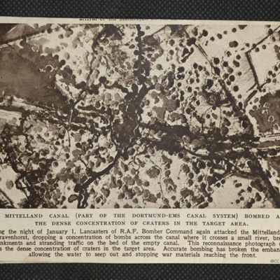
Reconnaissance photograph showing concentration of bomb craters in the target area where canal crossed a small river.

PFOMetheringhamAF19040037.jpg
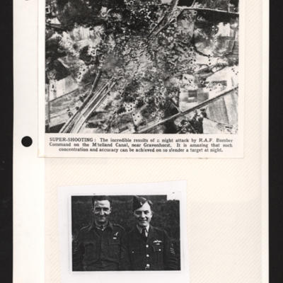
Top - a reconnaissance photograph of results of a bombing attack. From a newspaper article. The photograph shows the Mittelland canal running bottom left to top right and very many bomb craters concentrated in middle with canal edges and embankment…

PCruickshankG1501-0006.jpg
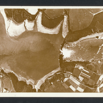
Reconnaissance photograph with lake on the left and a dam middle with breach with water flowing through. Captioned between pages 46-47 of 1956 Memoir [written vertically on LHS of page presumably for landscape orientation of photo] 'Mohne Dam. The…

SValentineJRM1251404v10071.jpg
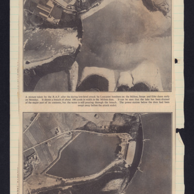
Two photographs. Top showing Mohne dam breached in the centre with lake on the rights. Bottom photograph shows the dam before the attack.

PAnsellHT1609.jpg
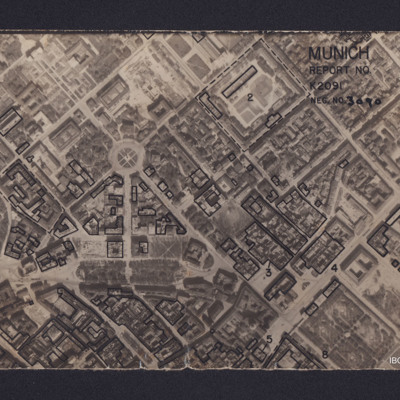
Vertical aerial reconnaissance photograph annotated 'Munich Report No K2091 Neg No 3090' and with a North arrow. No date. Photograph has been marked up to show bomb damage, with buildings outlined in black being those where the roof has been…

PAnsellHT1806.jpg
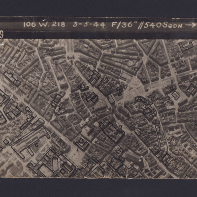
Reconnaissance photograph of Munich. Some buildings have been marked and annotated with numbers. The Frauenkirche is visible in the bottom right corner. Captioned '3139 106 W.218 3-5-44 F/36” // 540SQDN→ '.

PCruickshankG1501-0022.jpg
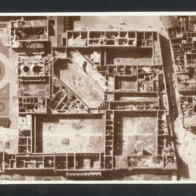
Reconnaissance photograph showing the Munich Residenz gutted. Captioned between pages 66-67 of 1956 Memoir '[underlined] Munich [/underlined] after 5 Group of Bomber Command raid 24th April 1944 [written vertically down left hand side of page]'. On…

NWeedenRC170409-030002.jpg
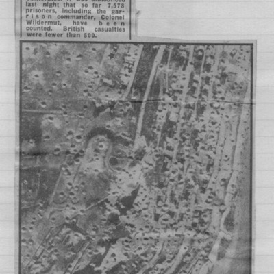
Reconnaissance photograph showing cratered landscape with caption explaining that this was part of fortress area of Le Havre after the RAF's 5,000 ton daylight attack.

PFOMetheringhamAF19050008.jpg
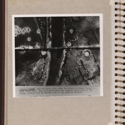
Reconnaissance photograph showing a river running top to bottom and a bridge crossing in the middle with several spans down. There are many craters on both sides of the river. Explanatory note 'NIENBURG BRIDGE over the river Weser after the attack by…
Output Formats

atom, dc-rdf, dcmes-xml, json, omeka-xml, rss2