Browse Items (754 total)
- Tags: target photograph
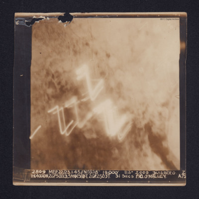
Duisberg
It is annotated "5B" and captioned: "2809 MEP. 22/23.1.45//NT(C)8" 19,000' 112º 2009 DUISBERG [sic]. Z…
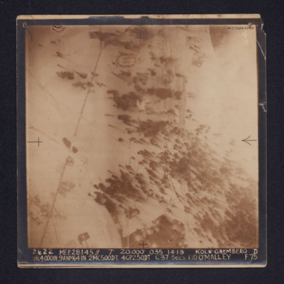
Koln-Gremberg
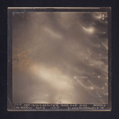
Dresden
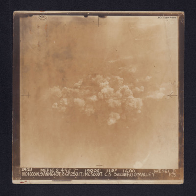
Wesel
It is captioned: "2952 MEP. 16.2.45//7" 19,000' 112º 1600 WESEL.…
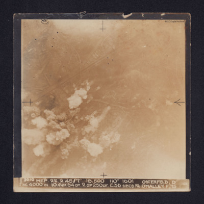
Osterfeld
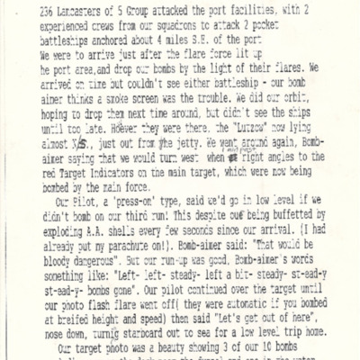
Attack on the Lützow at Gydnia [sic]
An account of the briefing for an operation to Essen
Tags: 100 Group; 3 Group; 4 Group; 51 Squadron; aerial photograph; aircrew; briefing; debriefing; Gee; ground personnel; H2S; Halifax; Halifax Mk 3; incendiary device; intelligence officer; Lancaster; meteorological officer; Oboe; Pathfinders; propaganda; RAF Snaith; reconnaissance photograph; target indicator; target photograph; Window
Henry Wagner's life story. Part one
Tags: 1652 HCU; 51 Squadron; Advanced Flying Unit; aerial photograph; air gunner; Air Observers School; aircrew; Anson; anti-aircraft fire; bale out; bomb aimer; briefing; C-47; Caterpillar Club; coping mechanism; crewing up; debriefing; Dulag Luft; evading; final resting place; flight engineer; Flying Training School; Gee; Halifax; Halifax Mk 3; Heavy Conversion Unit; incendiary device; killed in action; Master Bomber; military ethos; military living conditions; military service conditions; missing in action; navigator; Operational Training Unit; padre; Pathfinders; perception of bombing war; pilot; prisoner of war; RAF Abingdon; RAF Acaster Malbis; RAF Heaton Park; RAF Marston Moor; RAF Snaith; RAF West Freugh; recruitment; Red Cross; shot down; Stalag 3A; Stalag Luft 7; target indicator; target photograph; the long march; Tiger Moth; training; Whitley; Window
1311249 Flt Sgt Williamson, Air Gunner Lancaster
Tags: 106 Squadron; 5 Group; aerial photograph; air gunner; aircrew; B-17; bombing; bombing of Hamburg (24-31 July 1943); bombing of Kassel (22/23 October 1943); Bombing of Peenemünde (17/18 August 1943); Distinguished Flying Cross; Distinguished Flying Medal; Gee; H2S; Halifax; Ju 88; Lancaster; Lancaster Mk 3; Master Bomber; Me 110; mine laying; Mosquito; Oboe; Operational Training Unit; Pathfinders; pilot; RAF Cottesmore; RAF Croft; RAF Fulbeck; RAF Kirkham; RAF Metheringham; RAF Morpeth; RAF Saltby; RAF Swinderby; RAF Syerston; RAF Wigsley; Stirling; target indicator; target photograph; training; V-1; V-2; V-weapon; Wellington; Window
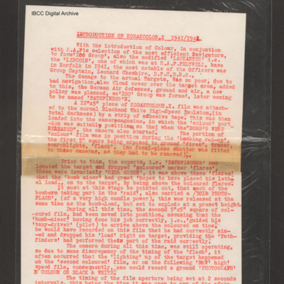
Introduction of Kodakcolor X 1941/1942
Dusseldorf
A target photograph in which everything is obscured, mainly by illuminated smoke or cloud. Caption for…
Domburg/Westkapelle, Walcheren Island
Bochum
A target photograph in which the ground is almost completely obscured by smoke or cloud. It…
Sterkade
The target photograph…
Kiel
Nordstern
Note from the Navigation Officer 'Satisfactory. Why not use 40[degree] method…
Gelsenkirchen (Buer) and Le Havre
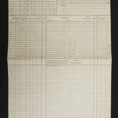
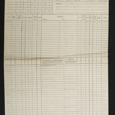
Navigation log and plotting map for operation to Eindhoven
Navigation log, plotting map and target photograph for operation to Mare-sur-On
Navigation log, plotting map and target photograph for operation to Foret de Nieppe.
The photograph shows a rural area, an area of forest top left third of the photograph. A…
Navigation log, plotting map and target photograph for operation to Les Catelliers
The photograph is mainly obscured by flares, rural area some bomb explosions visible. The caption for the target photograph '1975 DRF.…
Navigation log, plotting map and target photograph for operation to Paris (Vairies)
The target photograph shows a railway marshalling yard running top to bottom, bomb explosions, smoke and craters visible. Caption for the…
A retrospective - Bomber Command No 625 Squadron
Tags: 1 Group; 625 Squadron; Advanced Flying Unit; aerial photograph; Air Observers School; aircrew; Anson; bombing; briefing; coping mechanism; crewing up; debriefing; Gee; ground personnel; H2S; Halifax; intelligence officer; Lancaster; love and romance; military living conditions; military service conditions; mine laying; Morse-keyed wireless telegraphy; navigator; Nissen hut; nose art; Operation Exodus (1945); Operation Manna (29 Apr – 8 May 1945); Operational Training Unit; P-51; RAF Heaton Park; RAF Husbands Bosworth; RAF Kelstern; RAF Millom; RAF Scampton; RAF Sturgate; searchlight; target photograph; training; V-2; V-weapon; Wellington; Window; Women’s Auxiliary Air Force

