Browse Items (270 total)
- Spatial Coverage is exactly "Atlantic Ocean--North Sea"
George Highton's Royal Canadian pilot's flying log book. One
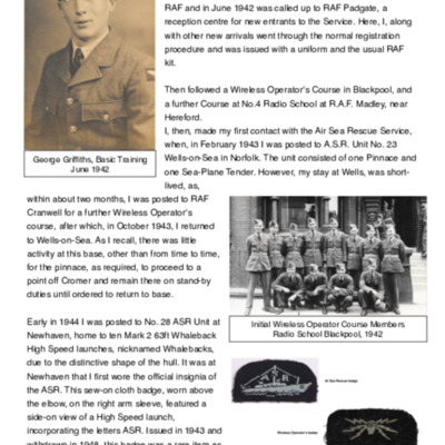
George Griffiths memoir
George Alexander Mackie’s pilots flying log book. Two
Tags: 11 OTU; 1651 HCU; 214 Squadron; aircrew; animal; arts and crafts; B-17; B-24; bombing; bombing of the Creil/St Leu d’Esserent V-1 storage areas (4/5 July 1944); C-47; Flying Training School; Heavy Conversion Unit; Initial Training Wing; military living conditions; mine laying; Normandy campaign (6 June – 21 August 1944); Operational Training Unit; Oxford; pilot; RAF Chedburgh; RAF Downham Market; RAF Nutts Corner; RAF Oulton; RAF Prestwick; RAF Sculthorpe; RAF Stoney Cross; RAF Tempsford; RAF Waterbeach; Stirling; training
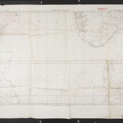
Gee chart for the North Sea
Tags: Gee
G J Mellefont’s flying log book for navigator’s air bomber air gunner’s flight engineers
Tags: 14 OTU; 1654 HCU; 50 Squadron; air gunner; Air Gunnery School; aircrew; Anson; bombing of Dresden (13 - 15 February 1945); C-47; Heavy Conversion Unit; Lancaster; Lancaster Finishing School; Lancaster Mk 1; Lancaster Mk 3; Operational Training Unit; RAF Andreas; RAF Husbands Bosworth; RAF Market Harborough; RAF Scampton; RAF Skellingthorpe; RAF Syerston; RAF Wigsley; Stirling; strafing; training; Wellington; Window
G J Mellefont air gunner log book
Tags: 14 OTU; 50 Squadron; air gunner; Air Gunnery School; aircrew; Anson; bombing; bombing of Dresden (13 - 15 February 1945); C-47; Lancaster; Lancaster Finishing School; Operational Training Unit; RAF Andreas; RAF Husbands Bosworth; RAF Market Harborough; RAF Scampton; RAF Skellingthorpe; RAF Syerston; RAF Wigsley; Stirling; training; Wellington
Fred 'Eddie' Edmondson's navigator's, air bomber's and air gunner's flying log book
Tags: 1652 HCU; 1663 HCU; 35 Squadron; 77 Squadron; 78 Squadron; aircrew; bomb aimer; bombing of Dresden (13 - 15 February 1945); bombing of Helgoland (18 April 1945); bombing of Luftwaffe night-fighter airfields (15 August 1944); Bombing of Trossy St Maximin (3 August 1944); flight engineer; Halifax; Heavy Conversion Unit; Lancaster; Normandy campaign (6 June – 21 August 1944); Pathfinders; RAF Breighton; RAF Elvington; RAF Graveley; RAF Marston Moor; RAF Rufforth; RAF Upwood; tactical support for Normandy troops; training
Frank Tolley's Royal Canadian Air Force flying log book for aircrew other than pilot
Tags: 1667 HCU; 21 OTU; 625 Squadron; Advanced Flying Unit; Air Observers School; aircrew; Anson; Bolingbroke; bomb aimer; bombing; Bombing and Gunnery School; bombing of Dresden (13 - 15 February 1945); bombing of Helgoland (18 April 1945); Cook’s tour; Halifax; Heavy Conversion Unit; Lancaster; Lancaster Finishing School; Operation Dodge (1945); Operation Manna (29 Apr – 8 May 1945); Operational Training Unit; RAF Glatton; RAF Kelstern; RAF Moreton in the Marsh; RAF Sandtoft; RCAF Fingal; training; Wellington
Frank Simpson's flying log book for navigators, air bombers, air gunners, flight engineers
Frank Mottershead’s observer’s and air gunner’s flying log book
Tags: 1654 HCU; 27 OTU; 463 Squadron; Advanced Flying Unit; aircrew; Anson; Bolingbroke; bombing; Bombing and Gunnery School; bombing of Dresden (13 - 15 February 1945); Hampden; Heavy Conversion Unit; Lancaster; Lancaster Finishing School; Operational Training Unit; RAF Lichfield; RAF Syerston; RAF Waddington; RAF West Freugh; Stirling; training; Wellington; wireless operator
Frank Howkins’ navigator’s, air bomber’s and air gunner’s flying log book
Tags: 1654 HCU; 27 OTU; 467 Squadron; 617 Squadron; Advanced Flying Unit; Air Gunnery School; aircrew; Anson; bombing of the Creil/St Leu d’Esserent V-1 storage areas (4/5 July 1944); bombing of the Juvisy, Noisy-le-Sec and Le Bourget railways (18/19 April 1944); bombing of the Normandy coastal batteries (5/6 June 1944); Dominie; Halifax; Heavy Conversion Unit; Lancaster; Lancaster Finishing School; Mosquito; Normandy campaign (6 June – 21 August 1944); Operation Catechism (12 November 1944); Operational Training Unit; Proctor; RAF Castle Bromwich; RAF Halfpenny Green; RAF Lichfield; RAF Syerston; RAF Waddington; RAF Wigsley; RAF Woodhall Spa; RAF Yatesbury; Tallboy; Tirpitz; training; Wellington; wireless operator
Frank Elliot's wireless operator’s flying log book
Tags: 12 OTU; 192 Squadron; Advanced Flying Unit; aircrew; Anson; B-17; bombing; Cook’s tour; Dominie; Halifax; Halifax Mk 3; Lancaster; Mosquito; Operational Training Unit; Proctor; RAF Chipping Warden; RAF Foulsham; RAF Llandwrog; RAF Madley; RAF Mildenhall; RAF Shepherds Grove; RAF Watton; training; Wellington; wireless operator
Flying Officer A F Thomas’ RAF navigator’s, air bomber’s and air gunner’s flying log book
Tags: 149 Squadron; 1651 HCU; 1665 HCU; 90 Squadron; aircrew; bombing; Cook’s tour; flight engineer; Heavy Conversion Unit; Lancaster; Lancaster Mk 1; Lancaster Mk 3; mine laying; Operation Dodge (1945); Operation Exodus (1945); Operation Manna (29 Apr – 8 May 1945); RAF Feltwell; RAF Methwold; RAF Stradishall; RAF Tuddenham; RAF Woolfox Lodge; RAF Wratting Common; Special Operations Executive; Stirling; training
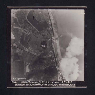
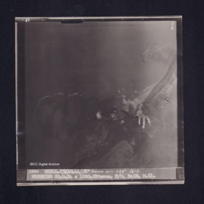
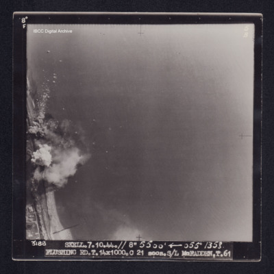
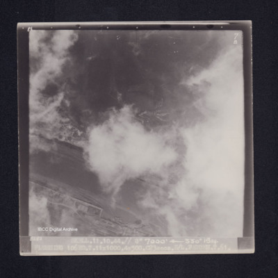
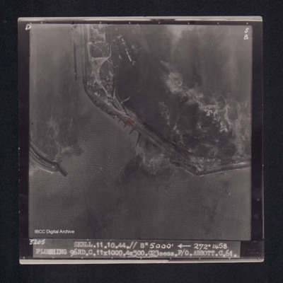
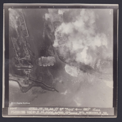
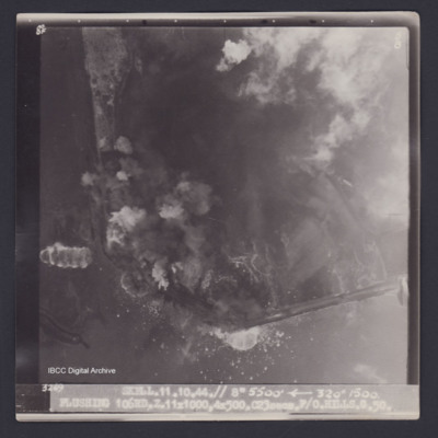
Flushing
Flushing
Flushing
Flushing
Flushing
Flushing
Flushing
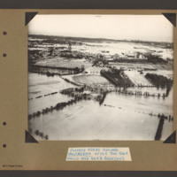
Flooded areas around Walcheren
Tags: aerial photograph; bombing; Cook’s tour
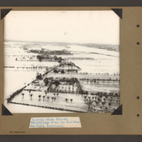
Flooded areas around Walcheren
Tags: aerial photograph; bombing; Cook’s tour
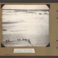
Flooded area around Walcheren
Tags: aerial photograph; bombing; Cook’s tour
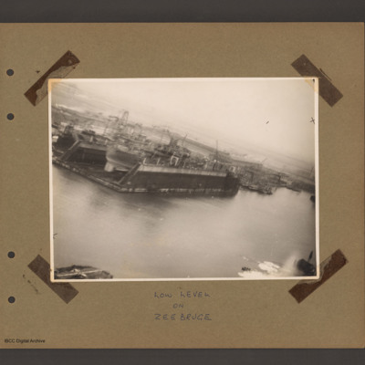
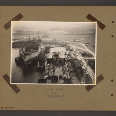
Floating dock at Zeebrugge
Tags: aerial photograph
Floating Dock at Zeebrugge
Tags: aerial photograph

![LEdmondsonF[Ser#-DoB]v1.pdf LEdmondsonF[Ser#-DoB]v1.pdf](https://ibccdigitalarchive.lincoln.ac.uk/omeka/files/square_thumbnails/1979/45240/LEdmondsonF[Ser -DoB]v1.jpg)
