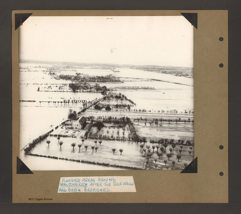
Flooded areas around Walcheren
Title
Flooded areas around Walcheren
Description
Aerial inclined photograph showing flooded farmland. In the foreground a farmhouse with hedge lined fields/orchards to the right. A flooded road runs from bottom left towards the middle when it bends back towards the top left. Along the road are scattered farms with small woods and fields. Either side of the road are flooded fields. Captioned 'Flooded areas around Walcheren after the sea walls had been breeched [sic]'.
Language
Type
Format
One b/w photograph mounted on an album page
Publisher
Rights
This content is available under a CC BY-NC 4.0 International license (Creative Commons Attribution-NonCommercial 4.0). It has been published ‘as is’ and may contain inaccuracies or culturally inappropriate references that do not necessarily reflect the official policy or position of the University of Lincoln or the International Bomber Command Centre. For more information, visit https://creativecommons.org/licenses/by-nc/4.0/ and https://ibccdigitalarchive.lincoln.ac.uk/omeka/legal.
Identifier
PBanksP15010038
Collection
Citation
“Flooded areas around Walcheren,” IBCC Digital Archive, accessed July 27, 2024, https://ibccdigitalarchive.lincoln.ac.uk/omeka/collections/document/1449.
Item Relations
This item has no relations.

