Browse Items (4469 total)
- Tags: bombing
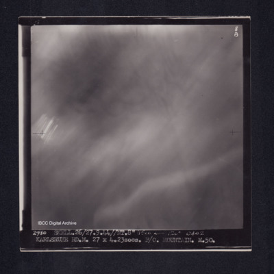
Karlsruhe
Karoline, K
Kassel
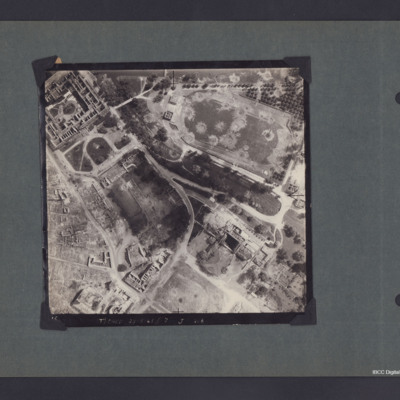
Photo 2 is the staircases of apartment blocks, all that is left intact.
Tags: bombing
Kassel
On the reverse 'Crown Copyright Reserved' and 'Kasel'.
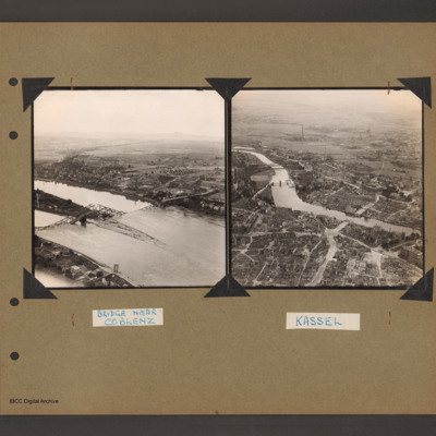
Kassel and a Bridge near Coblenz
Kastrop-Rauxel Syn Oil Plant
Tags: 514 Squadron; aircrew; bombing; Lancaster; navigator; RAF Waterbeach
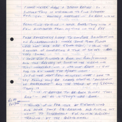
Keith Ganney's After Lunch Speech
Tags: 57 Squadron; 617 Squadron; 630 Squadron; air gunner; aircrew; bomb aimer; bombing; Cornell; crewing up; Distinguished Flying Cross; Distinguished Service Order; Lancaster; Lancaster Finishing School; Me 109; navigator; Operational Training Unit; pilot; RAF Coningsby; RAF East Kirkby; RAF Woodbridge; Stirling; superstition; Tiger Moth; training; Wellington
Keith Ganney's Royal Canadian Air Force flying log book for aircrew other than pilot. Two
Tags: 1654 HCU; 17 OTU; 57 Squadron; Advanced Flying Unit; Air Observers School; aircrew; Anson; Bolingbroke; bomb aimer; bombing; Bombing and Gunnery School; Cook’s tour; Heavy Conversion Unit; Lancaster; Lancaster Finishing School; mine laying; Operational Training Unit; RAF Brough; RAF East Kirkby; RAF Llandwrog; RAF Penrhos; RAF Silverstone; RAF Syerston; RAF Wigsley; Stirling; training; Wellington
Keith Hailey's Royal Air Force navigator’s, air bombers and air gunner’s flying log book
Tags: 1659 HCU; 20 OTU; 24 OTU; 433 Squadron; 635 Squadron; Advanced Flying Unit; Air Observers School; aircrew; Anson; bombing; bombing of Nuremberg (30 / 31 March 1944); bombing of the Boulogne E-boats (15/16 June 1944); Dominie; Halifax; Halifax Mk 3; Heavy Conversion Unit; Lancaster; mine laying; Normandy campaign (6 June – 21 August 1944); Operation Exodus (1945); Operation Manna (29 Apr – 8 May 1945); Operational Training Unit; Pathfinders; Proctor; RAF Downham Market; RAF Honeybourne; RAF Lossiemouth; RAF Manby; RAF Skipton on Swale; RAF Topcliffe; RAF Warboys; RAF West Freugh; RAF Yatesbury; training; Wellington; Whitley; wireless operator
Keith Thompson's flying log book
Tags: 101 Squadron; 1659 HCU; 1662 HCU; 192 Squadron; 199 Squadron; 28 OTU; 30 OTU; Advanced Flying Unit; Air Observers School; aircrew; Anson; B-17; bombing; bombing of Nuremberg (30 / 31 March 1944); Cook’s tour; Distinguished Flying Cross; Flying Training School; Halifax; Halifax Mk 2; Halifax Mk 3; Heavy Conversion Unit; Lancaster; Lancaster Mk 1; Lancaster Mk 3; navigator; Operational Training Unit; RAF Bircotes; RAF Blyton; RAF Castle Donington; RAF Foulsham; RAF Hixon; RAF Kinloss; RAF Leconfield; RAF Lichfield; RAF Ludford Magna; RAF North Creake; RAF Shawbury; RAF St Eval; RAF St Mawgan; RAF Thorney Island; RAF Topcliffe; RAF Watton; RAF Wellesbourne Mountford; RAF West Freugh; RAF Wymeswold; Shackleton; Tiger Moth; training; Wellington
Ken Oakes - Royal Australian Air Force observer's air gunner's and w/t operator's flying log book
Tags: 1652 HCU; 1663 HCU; 27 OTU; 466 Squadron; air gunner; aircrew; Battle; bombing; Bombing and Gunnery School; bombing of Nuremberg (30 / 31 March 1944); bombing of the Normandy coastal batteries (5/6 June 1944); Cook’s tour; Halifax; Halifax Mk 2; Halifax Mk 3; Halifax Mk 5; Heavy Conversion Unit; mine laying; Normandy campaign (6 June – 21 August 1944); Operational Training Unit; RAF Catfoss; RAF Church Broughton; RAF Driffield; RAF Leconfield; RAF Lichfield; RAF Manby; RAF Marston Moor; tactical support for Normandy troops; training; V-1; V-weapon; Wellington
Ken Turnham's navigator’s, air bomber’s and air gunner’s flying log book
Tags: 115 Squadron; 1669 HCU; 20 OTU; Advanced Flying Unit; aircrew; Anson; bombing; bombing of Dresden (13 - 15 February 1945); Dominie; Halifax; Halifax Mk 2; Heavy Conversion Unit; Lancaster; Lancaster Finishing School; Operational Training Unit; Proctor; RAF Feltwell; RAF Langar; RAF Lossiemouth; RAF Mona; RAF Witchford; RAF Yatesbury; training; Wellington; wireless operator
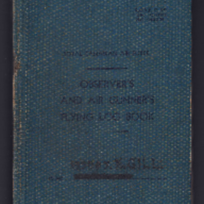
Kenneth Gill’s observer’s and air gunner’s flying log book
Tags: 1660 HCU; 29 OTU; 617 Squadron; 9 Squadron; Air Observers School; aircrew; Anson; bombing; Halifax; Heavy Conversion Unit; Hudson; Lancaster; Lancaster Finishing School; mine laying; missing in action; navigator; Operation Catechism (12 November 1944); Operational Training Unit; RAF Bardney; RAF North Luffenham; RAF Swinderby; RAF Syerston; RAF Woodhall Spa; Stearman; Tallboy; Tiger Moth; Tirpitz; training; Wellington
Kenneth Pope's flying log book for navigators, air bombers, air gunners and flight engineers
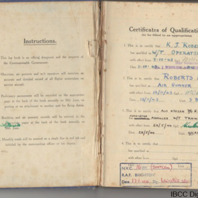
Kevin Roberts flying log book
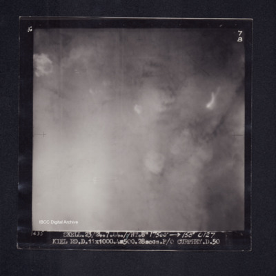
Kiel
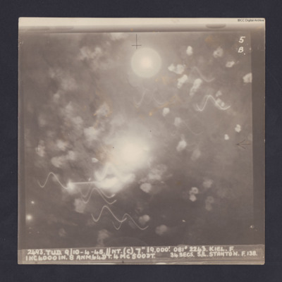
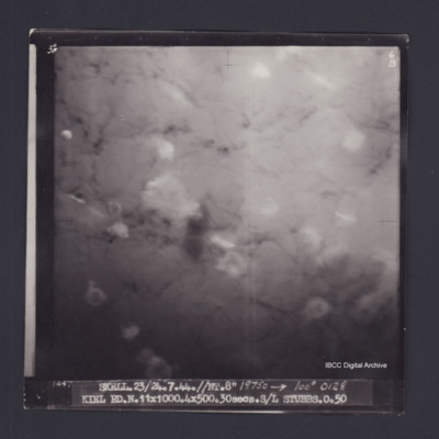
'2493. TUD. 9/10-4-45. //NT. (C). 7". 19,000'. 081 º 2243. KEIL. F.
1HC4000IN. 8…
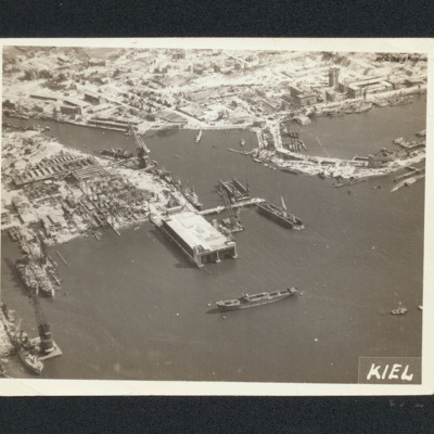
Kiel
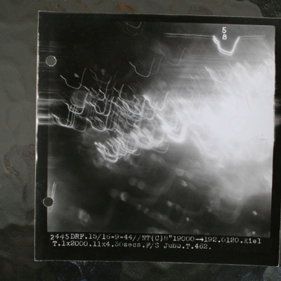
Kiel
Tags: aerial photograph; bombing
Kiel
This item was sent to the IBCC Digital Archive already in digital form. No better quality…
Kiel
Kiel
Kiel
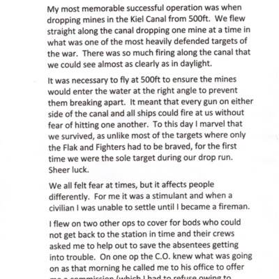
Kiel Canal operation
Tags: aircrew; anti-aircraft fire; bombing; fear; military discipline

