Browse Items (4445 total)
- Tags: bombing
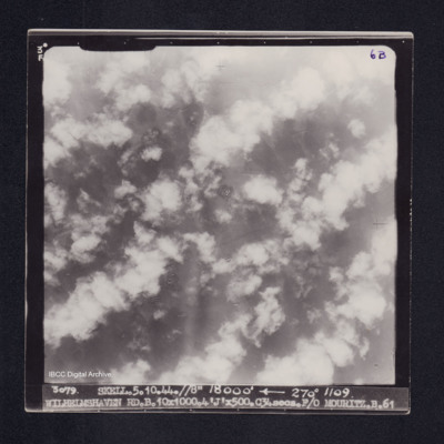
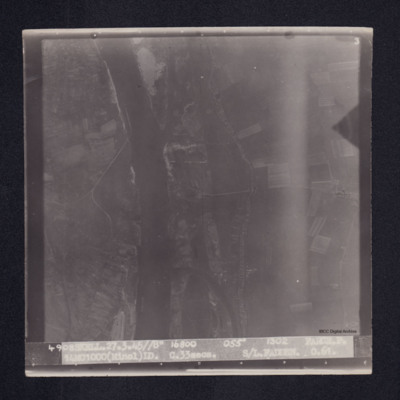
Wilhelmshaven
Geoffrey North’s observer’s and air gunner’s flying log book
Tags: 15 OTU; 1659 HCU; 1664 HCU; 35 Squadron; 428 Squadron; 76 Squadron; Advanced Flying Unit; air gunner; Air Gunnery School; aircrew; bombing; bombing of Hamburg (24-31 July 1943); Bombing of Peenemünde (17/18 August 1943); C-47; Halifax; Halifax Mk 2; Halifax Mk 3; Halifax Mk 5; Heavy Conversion Unit; Lancaster; Lancaster Mk 1; Lancaster Mk 3; mine laying; missing in action; Operation Exodus (1945); Operational Training Unit; Pathfinders; prisoner of war; RAF Catfoss; RAF Dalton; RAF Dishforth; RAF Driffield; RAF Graveley; RAF Harwell; RAF Holme-on-Spalding Moor; RAF Llandwrog; RAF Middleton St George; RAF Topcliffe; RAF Warboys; RAF Wyton; shot down; training; Wellington; Whitley
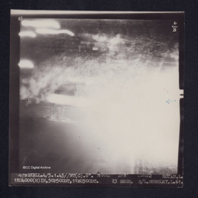
Royan
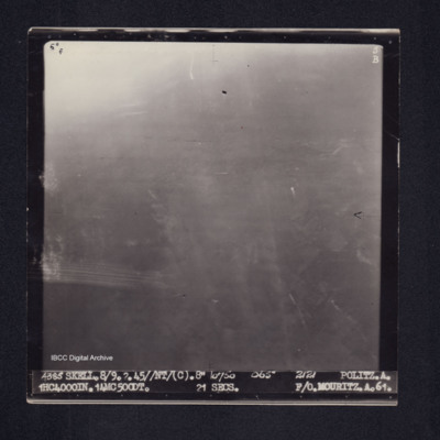
Politz
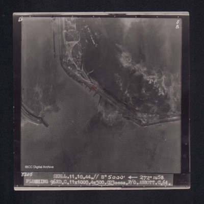
Flushing
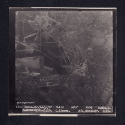
Farge
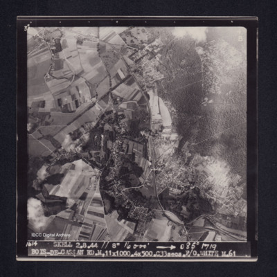
Bois-de-Cassan
Ladbergen
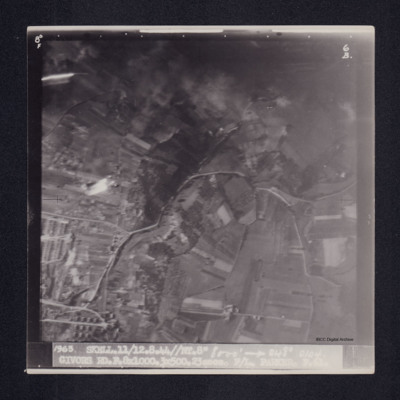
Givors
Farge
Denis Clyde-Smith's pilot's flying log book. One
Tags: 115 Squadron; 15 OTU; 218 Squadron; 27 OTU; aircrew; Anson; Battle; bombing; bombing of Cologne (30/31 May 1942); Flying Training School; Hurricane; Lysander; Magister; Operational Training Unit; pilot; Proctor; RAF Benson; RAF Biggin Hill; RAF Calshot; RAF Farnborough; RAF Harwell; RAF Henlow; RAF Lichfield; RAF Marham; RAF Ringway; RAF Sealand; RAF Sywell; RAF Weston Zoyland; RAF Wing; Swordfish; Tiger Moth; training; Walrus; Wellington
Denis Clyde-Smith's pilot's flying log book. Two
Tags: 1654 HCU; 9 Squadron; aircrew; Anson; B-17; B-24; B-26; bombing; Halifax; Halifax Mk 1; Halifax Mk 3; Halifax Mk 5; Heavy Conversion Unit; Lancaster; Lancaster Mk 1; Lancaster Mk 3; Lincoln; Lysander; Manchester; mine laying; Mosquito; P-51; pilot; Proctor; RAF Boscombe Down; RAF Honington; RAF Waddington; RAF Wigsley; Spitfire; Stirling; Tiger Moth; training; Typhoon; Wellington; York
Arthur Loudon's flying log book for navigators
Tags: 12 Squadron; 1656 HCU; 1667 HCU; 30 OTU; Advanced Flying Unit; Air Observers School; aircrew; Anson; Battle; bombing; Bombing and Gunnery School; bombing of Dresden (13 - 15 February 1945); Halifax; Heavy Conversion Unit; Lancaster; Lancaster Finishing School; navigator; Operational Training Unit; Oxford; RAF Gamston; RAF Hemswell; RAF Lindholme; RAF Mona; RAF Sandtoft; RAF Seighford; RAF Wickenby; training; Wellington
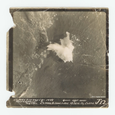
Westkappelle
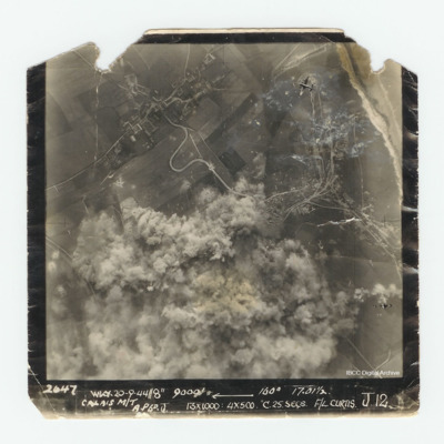
Calais
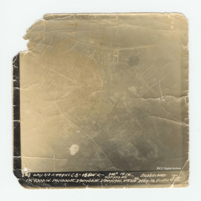
Dusseldorf
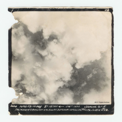
Cologne
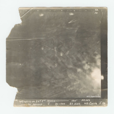
Hopsten Airfield
David Maltby's pilot's flying log book
Tags: 106 Squadron; 16 OTU; 1654 HCU; 617 Squadron; 97 Squadron; aircrew; Anson; bombing; Eder Möhne and Sorpe operation (16–17 May 1943); Flying Training School; Gibson, Guy Penrose (1918-1944); Hampden; Heavy Conversion Unit; Initial Training Wing; killed in action; Lancaster; Manchester; mine laying; Operational Training Unit; Oxford; pilot; RAF Ansty; RAF Coningsby; RAF Cranage; RAF Dunholme Lodge; RAF Fulbeck; RAF Grantham; RAF Paignton; RAF Scampton; RAF Upper Heyford; RAF Uxbridge; RAF Wigsley; Tiger Moth; Tirpitz; training
Basil Ambrose’s flying log book for navigators, air bombers, air gunners, flight engineers
Tags: 1660 HCU; 467 Squadron; 617 Squadron; aircrew; bombing; flight engineer; Heavy Conversion Unit; Lancaster; Lancaster Finishing School; Lincoln; Operation Dodge (1945); Operation Exodus (1945); Oxford; RAF Binbrook; RAF St Athan; RAF Swinderby; RAF Syerston; RAF Waddington; RAF Woodhall Spa; Stirling; training
James Wrigley's flying log book
Tags: 10 OTU; 1656 HCU; 19 OTU; 199 Squadron; 35 Squadron; 617 Squadron; 635 Squadron; 81 OTU; 83 Squadron; 97 Squadron; Air Gunnery School; aircrew; Anson; B-29; Blenheim; bombing; bombing of Hamburg (24-31 July 1943); bombing of Kassel (22/23 October 1943); bombing of Nuremberg (30 / 31 March 1944); Bombing of Peenemünde (17/18 August 1943); bombing of the Le Havre E-boat pens (14/15 June 1944); Dominie; final resting place; Halifax; Halifax Mk 1; Halifax Mk 2; Heavy Conversion Unit; killed in action; Lancaster; Lancaster Mk 1; Lancaster Mk 3; Lincoln; missing in action; Normandy campaign (6 June – 21 August 1944); Operational Training Unit; Pathfinders; Proctor; RAF Abingdon; RAF Binbrook; RAF Bourn; RAF Downham Market; RAF Hemswell; RAF Kinloss; RAF Lindholme; RAF Marham; RAF Pembrey; RAF Scampton; RAF Shallufa; RAF St Athan; RAF Tilstock; RAF Yatesbury; training; Wellington; Whitley; wireless operator
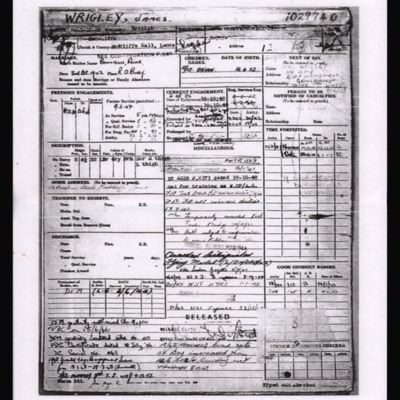
James Wrigley Service Record
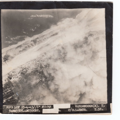
Wangerooge
Jack Hayley’s Royal Canadian Air Force pilots flying log book
Tags: 1667 HCU; 170 Squadron; 625 Squadron; 83 OTU; 83 Squadron; Advanced Flying Unit; aircrew; Anson; bombing; Dominie; Flying Training School; Halifax; Halifax Mk 5; Harvard; Heavy Conversion Unit; Hurricane; Lancaster; Lancaster Finishing School; Lancaster Mk 1; Lancaster Mk 3; Lincoln; Magister; Meteor; Mosquito; Operational Training Unit; Oxford; pilot; RAF Clyffe Pypard; RAF Defford; RAF Dunholme Lodge; RAF Heaton Park; RAF Hemswell; RAF Kelstern; RAF Little Rissington; RAF Madley; RAF Peplow; RAF Peterborough; RAF Sandtoft; RAF Scampton; RAF Windrush; RCAF Estevan; RCAF Moncton; Shackleton; Spitfire; Stearman; Tiger Moth; training; Wellington; York
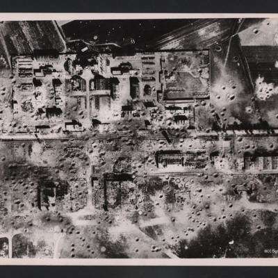
Tours airfield
On the reverse…

