Browse Items (290 total)
- Tags: V-1
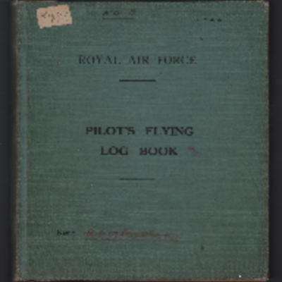
Robert Palmer's pilot's flying log book. Two
Tags: 109 Squadron; 15 OTU; 20 OTU; aircrew; Anson; bombing; bombing of the Normandy coastal batteries (5/6 June 1944); Lancaster; Lysander; Magister; Martinet; Mosquito; Normandy campaign (6 June – 21 August 1944); Operational Training Unit; Oxford; Pathfinders; pilot; RAF Abingdon; RAF Hullavington; RAF Lossiemouth; RAF Marham; tactical support for Normandy troops; Tiger Moth; training; V-1; V-2; V-weapon; Wellington
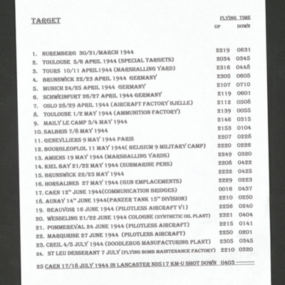
Ron Carter's List of Operations
Tags: 44 Squadron; Bombing of Mailly-le-Camp (3/4 May 1944); bombing of Nuremberg (30 / 31 March 1944); bombing of the Creil/St Leu d’Esserent V-1 storage areas (4/5 July 1944); bombing of Toulouse (5/6 April 1944); Lancaster; Normandy campaign (6 June – 21 August 1944); shot down; tactical support for Normandy troops; V-1; V-weapon
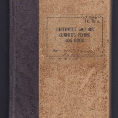
Ronald Witty’s observer’s and air gunner’s flying log book
Tags: 12 Squadron; 1653 HCU; 1656 HCU; 50 Squadron; 576 Squadron; 84 OTU; Advanced Flying Unit; air sea rescue; aircrew; Anson; anti-aircraft fire; bombing; bombing of the Boulogne E-boats (15/16 June 1944); bombing of the Le Havre E-boat pens (14/15 June 1944); bombing of the Normandy coastal batteries (5/6 June 1944); Bombing of Trossy St Maximin (3 August 1944); Cook’s tour; Gee; H2S; Halifax; Halifax Mk 2; Heavy Conversion Unit; Lancaster; Lancaster Finishing School; Lancaster Mk 1; Lancaster Mk 3; Lincoln; mine laying; navigator; Normandy campaign (6 June – 21 August 1944); Operation Dodge (1945); Operational Training Unit; RAF Chedburgh; RAF Desborough; RAF Fiskerton; RAF Halfpenny Green; RAF Hemswell; RAF Lindholme; RAF Sturgate; RAF Waddington; RAF Wickenby; Stirling; tactical support for Normandy troops; training; V-1; V-2; V-weapon; Wellington
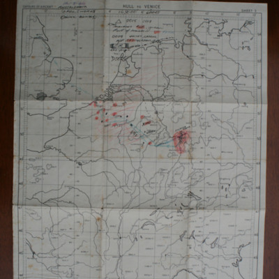
Route map Russelsheim
This item was sent to the IBCC Digital Archive already in digital form. No…
Tags: anti-aircraft fire; bombing; V-1; V-weapon
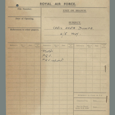
Royal Air Force file cover - Creil area dumps 4/5 July
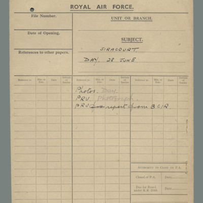
Royal Air Force file cover - Siracourt, day, 28 June
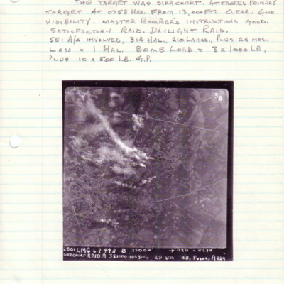
Siracourt
Under the image is a caption '2801 LMG 6.7.44//8" 13000' -->…
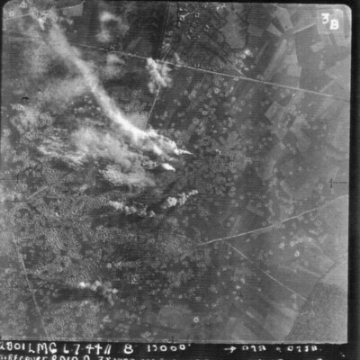
Siracourt
It is annotated '2801 LMG 6.7.44 // 8" 13000' --098° 0258 Siracourt Raid A 3 x 1000 10 x500 c 28secs WO Puskas A…
Siracourt
Siracourt
Siracourt
Siracourt
Siracourt
Siracourt
Siracourt
Siracourt
Siracourt
Siracourt
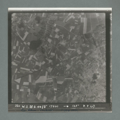
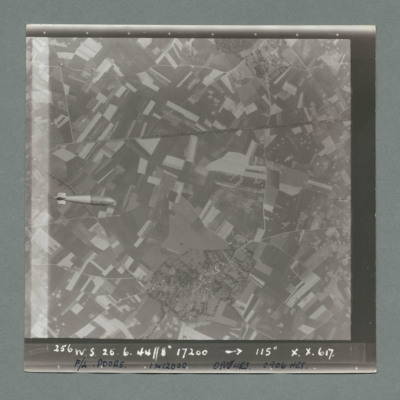
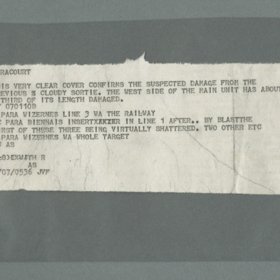
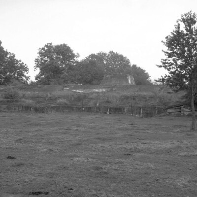
Siracourt & Wizernes
Six chapters of wartime memories
'Based at Burn' Introduction by Jim Allen
One More Chalked Up
A Trip to Remember
Sabotage on 578 Squadron at Burn by Joe Dudley
Memories of 578 Squadron at Burn 1944 by Joe…
Tags: 4 Group; 578 Squadron; aircrew; anti-aircraft fire; bomb struck; bombing; Chamberlain, Neville (1869-1940); faith; fear; Gee; H2S; Halifax; Halifax Mk 3; Heavy Conversion Unit; incendiary device; Master Bomber; military living conditions; military service conditions; Mosquito; navigator; Nissen hut; Normandy campaign (6 June – 21 August 1944); observer; Operational Training Unit; Pathfinders; prisoner of war; RAF Burn; RAF Farnborough; RAF Woodbridge; submarine; tactical support for Normandy troops; training; V-1; V-2; V-weapon; wireless operator
Sorties Flown by Ben Weightman and Crew in 582 Squadron
Tags: 109 Squadron; 156 Squadron; 3 Group; 550 Squadron; 582 Squadron; 8 Group; air gunner; aircrew; bombing; bombing of the Normandy coastal batteries (5/6 June 1944); flight engineer; Gee; H2S; Lancaster; Mosquito; navigator; Normandy campaign (6 June – 21 August 1944); Oboe; Pathfinders; pilot; tactical support for Normandy troops; target indicator; V-1; V-weapon; wireless operator

![SKnoxRW[Ser#-DoB]v10006.jpg SKnoxRW[Ser#-DoB]v10006.jpg](https://ibccdigitalarchive.lincoln.ac.uk/omeka/files/square_thumbnails/1956/41347/SKnoxRW[Ser -DoB]v10006.jpg)
![SKnoxRW[Ser#-DoB]v20008.jpg SKnoxRW[Ser#-DoB]v20008.jpg](https://ibccdigitalarchive.lincoln.ac.uk/omeka/files/square_thumbnails/1956/41358/SKnoxRW[Ser -DoB]v20008.jpg)
![SKnoxRW[Ser#-DoB]v40007.jpg SKnoxRW[Ser#-DoB]v40007.jpg](https://ibccdigitalarchive.lincoln.ac.uk/omeka/files/square_thumbnails/1956/41406/SKnoxRW[Ser -DoB]v40007.jpg)
![SKnoxRW[Ser#-DoB]v50006.jpg SKnoxRW[Ser#-DoB]v50006.jpg](https://ibccdigitalarchive.lincoln.ac.uk/omeka/files/square_thumbnails/1956/41415/SKnoxRW[Ser -DoB]v50006.jpg)