Browse Items (240 total)

  • Spatial Coverage is exactly "France--le Havre"

MCheshireGL72021-181210-020034.jpg
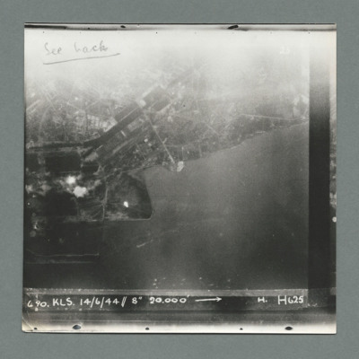
Target photograph showing land at the top and sea at the bottom with town and harbour centre. There are two bomb explosions visible left centre and a bright spot below them to the right.. Caption '6 90, KLS, 14/6/44, 8" 20000, H, H625'. On the…

MCheshireGL72021-181210-020032.jpg
Target photograph blurred with built up area on left. Caption '137, WS 14/15.6.44, NT 8, 16700, 108 degree, 2234, Le Havre RD, Z, 1 x 14000, 15 secs, F/O Ross, Z, 617', On the reverse '500 yards 190 degrees'.

MCheshireGL72021-181210-020030.jpg
Target photograph showing bright spots bottom left and just right of centre. Caption '141, WS 14/15.6.44, NT 8", Le Havre RD, V, 1 x 14000, F/O Cheney, V, 617'. On the reverse '51:93/15'.

MCheshireGL72021-181210-020028.jpg
Target photograph showing two bright spots on left side. Caption '148, ,W.S. 14/15.6.44, NT 8", Le Havre RD, V, 1 x 14000, F/O Cheney, V, 617'. On the reverse '51/93/14'.

MCheshireGL72021-181210-020026.jpg
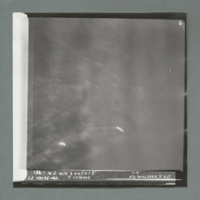
Target photograph showing bright spots bottom left and bottom centre. Caption '172, W.s. 14/15.6.44, NT 8", Le Havre, T, 1 x 14000, F/O Willsher, T, 617'. On the reverse '51:93/13'

MCheshireGL72021-181210-020024.jpg
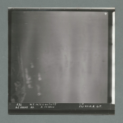
Target photograph showing coastline on the left. Caption '138, W.S 14/15.6.44, Le Havre RD, S, 1 x 14000, F/Lt Reid, S, 617'. On the reverse '53:93/12 Photo 159'.

MCheshireGL72021-181210-020022.jpg
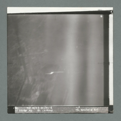
Target photograph showing built up area on the left and harbour area on the right. Bright spot centre one third way up. Caption '130, WS 14/15.6.44, NT 82, Le Havre RD, K1, 1 x 14000, F/L Wilson N, 617'. On the reverse 53:93/11'.

MCheshireGL72021-181210-020020.jpg
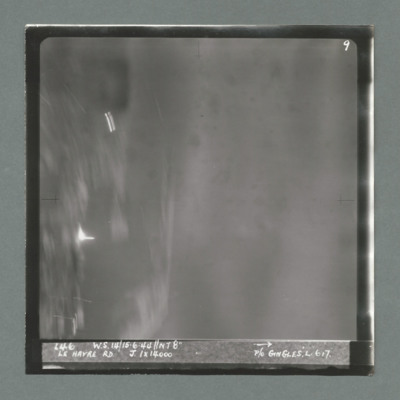
Target photograph showing harbour area on the left with bright spots top left quadrant and just below centre left. Caption '146, WS 14/15.6.44, NT8", Le Havre RD, J, 1 x 14000, P/O Gingles, L, 617'. On the reverse 53:93/10'.

MCheshireGL72021-181210-020018.jpg
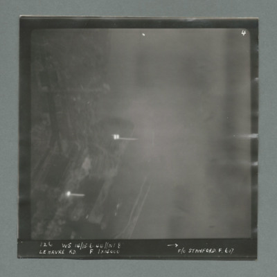
Target photograph showing harbour area on the left with bright spots top left quadrant and centre left. Caption '128, WS 14/15.6.44, NT 82, Le Havre RD, F, 1 x 14000, F/O Stanford, F, 617'. On the reverse '51:93/9'.

MCheshireGL72021-181210-020016.jpg
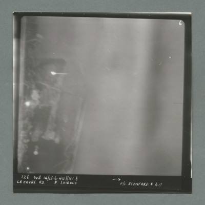
Target photograph showing harbour area on the left side with two bright marks centre and bottom left. Caption '126, WS 14/15.6.44, NT 8, Le Havre RD, F, 1 x 14000, F/O Stanford, F, 617'. On the reverse '1700, from Pens'.

MCheshireGL72021-181210-020014.jpg
Target photograph showing coastline runs from left to right with harbour behind breakwaters in the centre. On the reverse '162, cam 1, neg 19, daylight/night attack on harbour Le Havre, date 14.6.44, squadron 463, 617, pilot F/O Schultz, a/c…

MCheshireGL72021-181210-020012.jpg
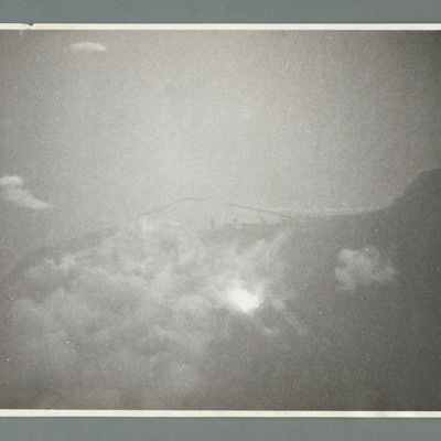
Target photograph showing sea to the left and a point of land left centre with harbour to the right. There are a large number of bomb explosions in the harbour area top right. On the reverse 'Ops 162, cam 1, neg 9, daylight/night attack of Harbour -…

MCheshireGL72021-181210-020011.jpg
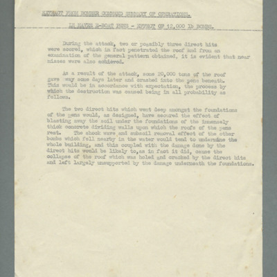
Mentions two or three direct hits which penetrated the roof as well as some near misses. Describes damage to roof and foundations and subsequent collapse of the roof.

MCheshireGL72021-181210-020010.jpg
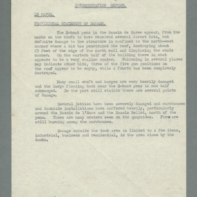
Describes damage to E-boat pens mentioning some direct hits and definite damage to north-west corner. Mentions other hits and heavy damage to small craft, a floating dock, jetties and basins. Limited damage outside dock area.

MCheshireGL72021-181210-020009.jpg
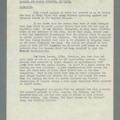
Account of operation against sheltered E-boats in Le Havre harbour. Tasks to assist Navy in their fight against E-boats who were operating against allied invasion forces. States pens would be invulnerable even to 12,000 lb bombs therefore, bombs…

MCheshireGL72021-181210-020003.jpg
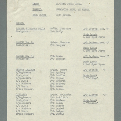
Specifies date - 14/15 June 1944, target and zero hour 2235 hours. Lists crews with Wing Commander Cheshire leading along with two other markers flying Mosquito and 22 crews flying Lancaster all armed with one Tallboy bomb.

MCheshireGL72021-181210-020001.jpg
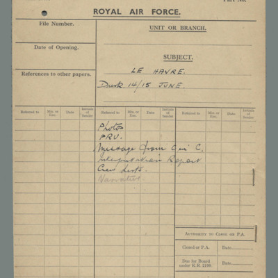
Buff file over listing contents of file: photos, Photographic Reconnaissance Unit, Message from C in C, interpretation report, crew list, narrative.

OHolmesGH187788-161021-020001.jpg
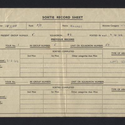
A Sortie Record Sheet dated from 19 August 1944 to 17 March 1945. Relating to Pilot Officer George Holmes’ service as a Wireless Operator/Air Gunner with 83 Squadron. The sheet records 16 operations, all of which are recorded as being on Lancaster…

SChattertonJ159568v10440.jpg
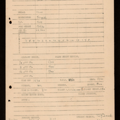
Shows a single bomb load for operation. Details weights, distributor, preselection and false height settings. Shows timings and other detail. On the reverse; marking, safety measures, call signs and timings. Formation order for Waddington,…

PJonesPW1606.jpg
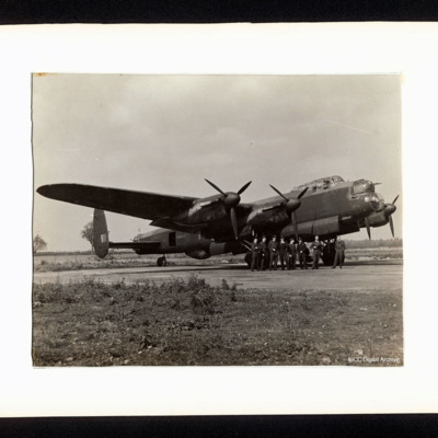
A starboard side view of a Lancaster, PA964, on the ground. There are eight aircrew standing at the nose. On the reverse is a list of the aircrew including Tom Jones and a list of his operations.

This page is an entry point for a place. Please use the links below to see all relevant documents available in the Archive.

PBanksP15010108.jpg
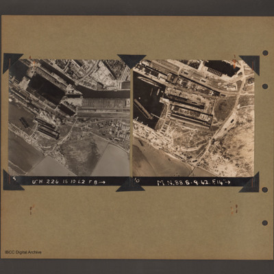
On the left an aerial vertical photograph of docks. A waterway runs from top left downward before turning horizontal across to the right. At the bend there is a narrow channel leading to a basin to the left. Below this is a further basin with a barge…

PBanksP15010098.jpg
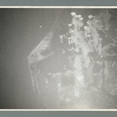
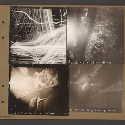
Top left aerial vertical photograph completely filled with anti-aircraft tracer trails.

Top right an aerial vertical photograph of a canal junction. A canal runs from bottom left to a junction and then up to the top. At the junction a branch…
Output Formats

atom, dc-rdf, dcmes-xml, json, omeka-xml, rss2