Browse Items (4441 total)
- Tags: bombing
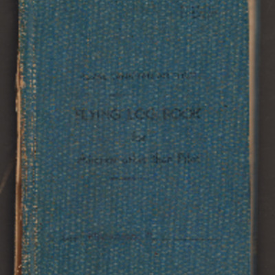
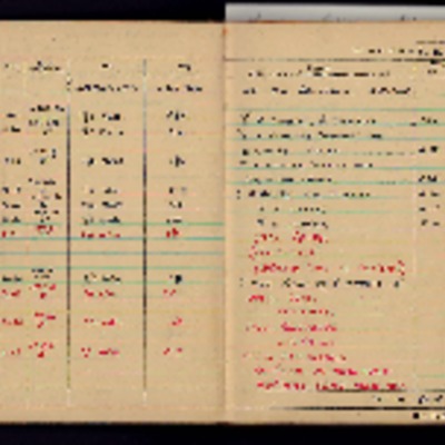
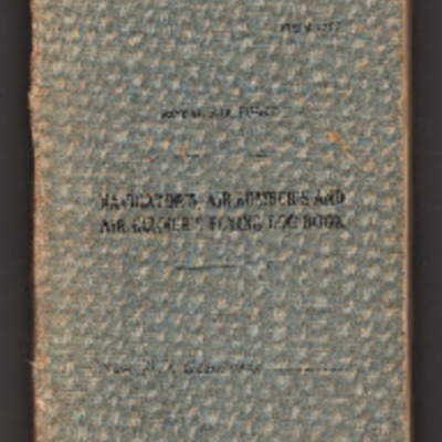
Dick Maywood’s Royal Canadian Air Force flying log book for aircrew other than pilot
Tags: 16 OTU; 608 Squadron; 692 Squadron; Advanced Flying Unit; Air Observers School; aircrew; Anson; Bolingbroke; bombing; Bombing and Gunnery School; Cook’s tour; Flying Training School; Mosquito; navigator; Operational Training Unit; Oxford; RAF Barford St John; RAF Clyffe Pypard; RAF Downham Market; RAF Gransden Lodge; RAF Upper Heyford; RAF Wigtown; Tiger Moth; training
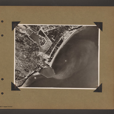
Dieppe
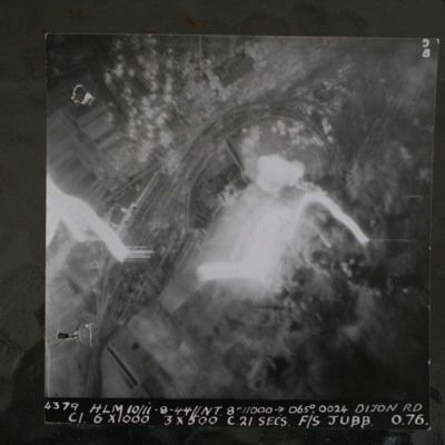
Dijon
This item was sent to the IBCC Digital…
Director Seidel
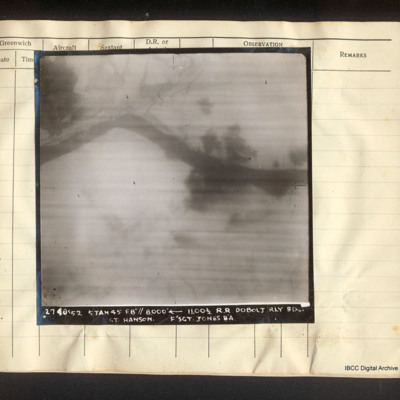
Dobolj railway bridge
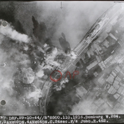
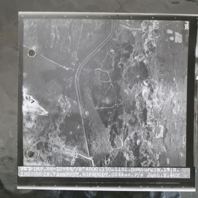
Domburg
Domburg
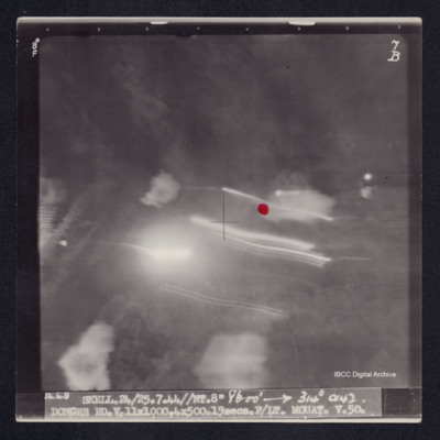
Domburg/Westkapelle, Walcheren Island
Don Cameron’s Royal Canadian Air Force pilots flying log book. Two
Tags: 115 Squadron; 1651 HCU; 1656 HCU; 1678 HCU; 17 OTU; 242 Squadron; 26 OTU; aircrew; bombing; bombing of the Le Havre E-boat pens (14/15 June 1944); bombing of the Normandy coastal batteries (5/6 June 1944); Cook’s tour; Flying Training School; Harvard; Heavy Conversion Unit; Lancaster; Lancaster Finishing School; Lancaster Mk 1; Lancaster Mk 2; Lancaster Mk 3; Normandy campaign (6 June – 21 August 1944); Operational Training Unit; Oxford; pilot; RAF Dishforth; RAF Feltwell; RAF Finningley; RAF Full Sutton; RAF Lindholme; RAF Little Horwood; RAF Little Rissington; RAF Oakington; RAF Silverstone; RAF Snaith; RAF Waterbeach; RAF Windrush; RAF Wing; RAF Witchford; RAF Wratting Common; Stirling; tactical support for Normandy troops; training; Wellington; York
Don Nicholson audio recording. One
Don lists his 31 operations and recounts how having arrived for the briefing for his first operation, he was…
Don Nicholson audio recording. Two
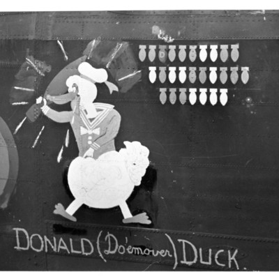
Donald Briggs' log book
Tags: 156 Squadron; 8 Group; aircrew; bombing; bombing of Dresden (13 - 15 February 1945); bombing of Luftwaffe night-fighter airfields (15 August 1944); flight engineer; Lancaster; Lancaster Mk 3; Normandy campaign (6 June – 21 August 1944); Pathfinders; RAF Upwood; tactical support for Normandy troops; V-1; V-weapon
Donald Chinery’s flying log book for observers and air gunners
Tags: 16 OTU; 1651 HCU; 17 OTU; 196 Squadron; 61 Squadron; Advanced Flying Unit; air gunner; Air Gunnery School; aircrew; bombing; Bombing of Mailly-le-Camp (3/4 May 1944); bombing of Nuremberg (30 / 31 March 1944); bombing of the Juvisy, Noisy-le-Sec and Le Bourget railways (18/19 April 1944); bombing of the Normandy coastal batteries (5/6 June 1944); bombing of the Pas de Calais V-1 sites (24/25 June 1944); bombing of the Watten V-2 site (19 June 1944); Cook’s tour; Heavy Conversion Unit; Me 109; mid-air collision; Normandy campaign (6 June – 21 August 1944); Operational Training Unit; RAF Barford St John; RAF Barrow in Furness; RAF Coningsby; RAF Finningley; RAF Llandwrog; RAF Newmarket; RAF Silverstone; RAF Skellingthorpe; RAF Turweston; RAF Waterbeach; RAF Witchford; tactical support for Normandy troops; training
Donald Cochrane's operations
Tags: anti-aircraft fire; bombing; Bombing of Mailly-le-Camp (3/4 May 1944); bombing of Nuremberg (30 / 31 March 1944); bombing of the Boulogne E-boats (15/16 June 1944); bombing of the Le Havre E-boat pens (14/15 June 1944); bombing of the Normandy coastal batteries (5/6 June 1944); Halifax; Ju 88; Lancaster; mine laying; Normandy campaign (6 June – 21 August 1944); Pathfinders; searchlight; target indicator
Donald Cochrane’s observer's and air gunner's flying log book
Tags: 1657 HCU; 30 OTU; 460 Squadron; aircrew; Anson; bombing; Bombing of Mailly-le-Camp (3/4 May 1944); bombing of Nuremberg (30 / 31 March 1944); bombing of the Boulogne E-boats (15/16 June 1944); bombing of the Le Havre E-boat pens (14/15 June 1944); bombing of the Normandy coastal batteries (5/6 June 1944); Dominie; Heavy Conversion Unit; Lancaster; Lancaster Finishing School; mine laying; Normandy campaign (6 June – 21 August 1944); Operational Training Unit; Proctor; RAF Binbrook; RAF Feltwell; RAF Seighford; RAF Stradishall; Stirling; training; Wellington; wireless operator
Donald Evans RAF navigator’s, air bomber’s, air gunner’s and flight engineer’s flying log book
Tags: 106 Squadron; 1661 HCU; 83 Squadron; aircrew; bombing; Cook’s tour; flight engineer; Heavy Conversion Unit; Initial Training Wing; Lancaster; Lancaster Finishing School; Lancaster Mk 1; Lancaster Mk 3; Lincoln; mine laying; Operation Dodge (1945); Operation Exodus (1945); Pathfinders; RAF Bridlington; RAF Coningsby; RAF Full Sutton; RAF Hemswell; RAF Metheringham; RAF Snaith; RAF St Athan; RAF Syerston; RAF Warboys; RAF Winthorpe; Stirling; training
Donald Fraser's navigator's, air bomber's, air gunner's flying log book
Donges
Donges
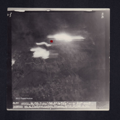
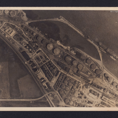
Donges Oil Refinery, France
The photographs were released for publication in newspapers.
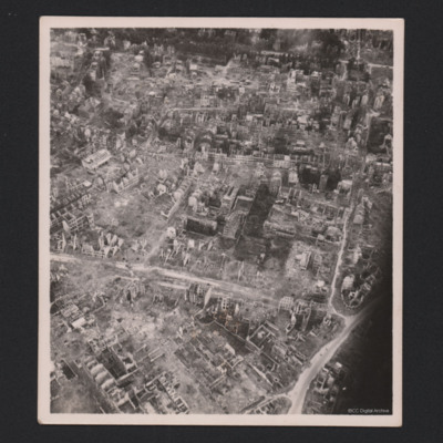
The second photograph shows extensive damage with many buildings,…
Dorothea P and Martha St
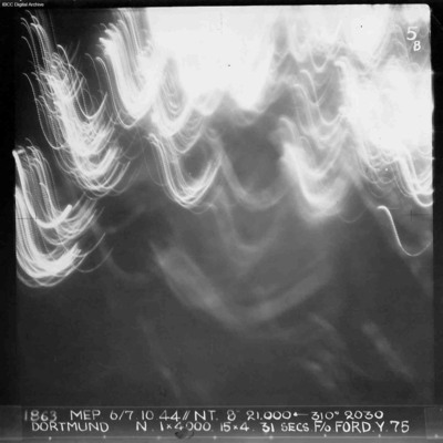
Dortmund
Identification kindly provided by Ludger Keiser of the Finding the location WW1 & WW2 Facebook group.
Tags: aerial photograph; bombing; Cook’s tour
Dortmund
Dortmund
Tags: 514 Squadron; aircrew; bombing; Lancaster; navigator; RAF Waterbeach

