Browse Items (1442 total)
- Tags: aerial photograph
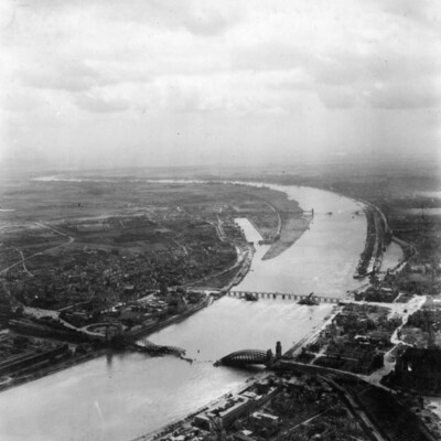
Cologne Bridges
Tags: aerial photograph; bombing; Cook’s tour
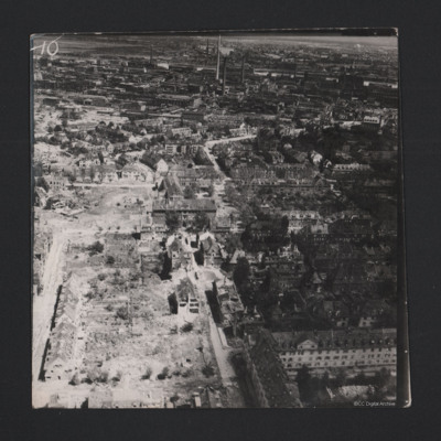
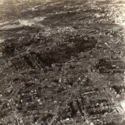
Essen
Tags: aerial photograph; bombing; Cook’s tour
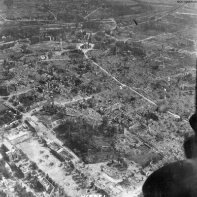
Wesel
Tags: aerial photograph; bombing; Cook’s tour
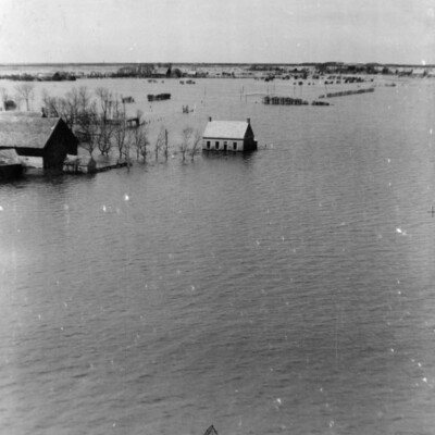
Walchern Floods
Tags: aerial photograph
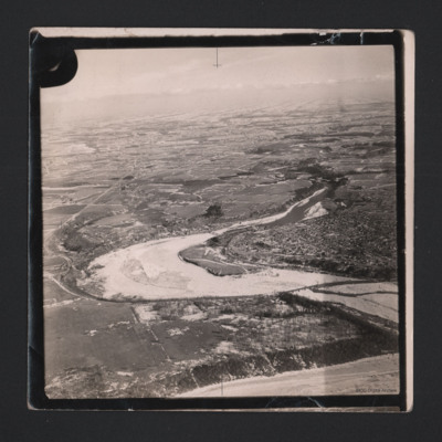
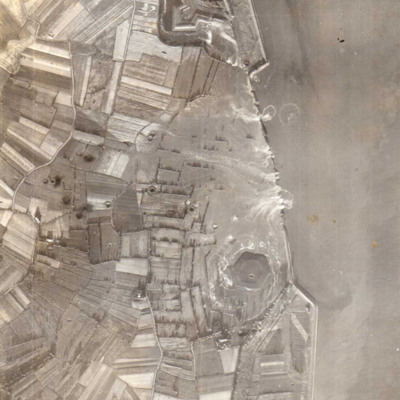
Vlissingen
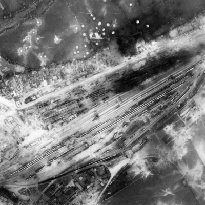
Argentan Marshalling Yard
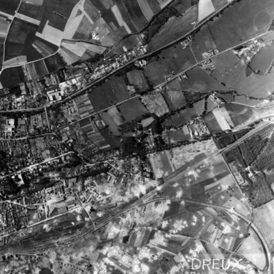
Dreux Rail Facilities
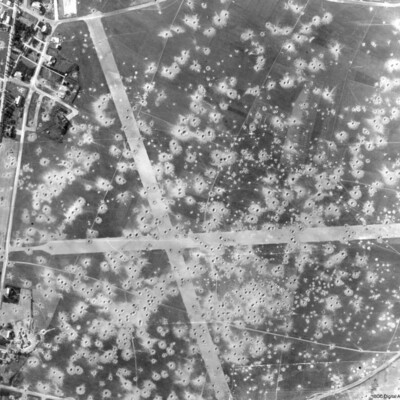
Le Culot Airfield
ER James War Diary
Tags: 576 Squadron; 582 Squadron; aerial photograph; air gunner; aircrew; anti-aircraft fire; bomb aimer; bomb struck; bombing; Bombing of Trossy St Maximin (3 August 1944); flight engineer; forced landing; Halifax; Harris, Arthur Travers (1892-1984); Ju 88; Lancaster; Me 262; Mosquito; navigator; Normandy campaign (6 June – 21 August 1944); Pathfinders; pilot; RAF Elsham Wolds; RAF Lindholme; RAF Little Staughton; RAF Manston; RAF Worksop; Spitfire; tactical support for Normandy troops; target indicator; target photograph; wireless operator / air gunner
Leslie Alfred Davies and crew
Tags: 10 Squadron; 14 OTU; 1654 HCU; 50 Squadron; 6 BFTS; Advanced Flying Unit; aerial photograph; air gunner; Air Gunnery School; aircrew; Anson; anti-aircraft fire; Bolingbroke; bomb aimer; bomb trolley; bombing; bombing of Dresden (13 - 15 February 1945); Bombing of Trossy St Maximin (3 August 1944); British Flying Training School Program; C-47; crash; Distinguished Flying Cross; FIDO; flight engineer; Flying Training School; George VI, King of Great Britain (1895-1952); ground crew; Halifax; Heavy Conversion Unit; incendiary device; Ju 88; killed in action; Lancaster; Lancaster Finishing School; Lancaster Mk 1; Me 262; memorial; military service conditions; missing in action; Mosquito; navigator; Normandy campaign (6 June – 21 August 1944); Operational Training Unit; petrol bowser; pilot; RAF Banff; RAF Barrow in Furness; RAF Husbands Bosworth; RAF Llandwrog; RAF Madley; RAF Skellingthorpe; RAF St Athan; RAF Syerston; RAF Wigsley; reconnaissance photograph; service vehicle; Stirling; target indicator; training; V-1; V-weapon; Wellington
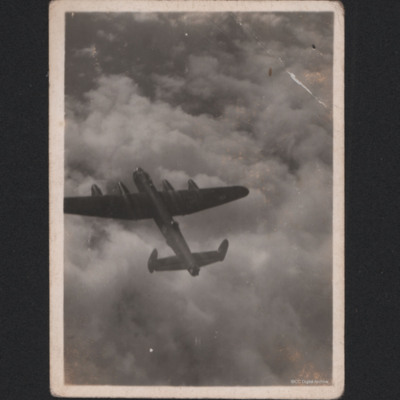
Lancasters in flight
#1 is a view looking down on a Lancaster in flight.
#2 is a view of an airfield across the starboard engines starboard side.
#3 is a view of two Lancasters.
Tags: aerial photograph; Lancaster
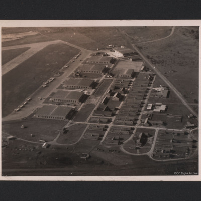
Picton Airbase
On the reverse 'Picton aerodrome. Picton Manitoba' [sic]
Tags: aerial photograph; hangar; training
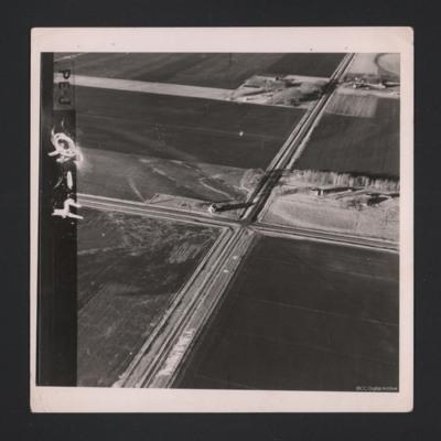
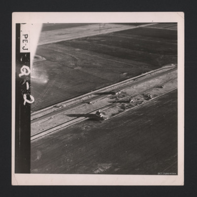
Road Crossing Flat Lands
Tags: aerial photograph
Goderich
Identification kindly provided by Andrew Gordon of the Finding the location WW1 & WW2 Facebook group, and by Fynn Titford-Mock, with additional backing by Richard…
Tags: aerial photograph
Ludwigshafen
Identification kindly provided by Andrew Gordon and Stéphane Van de Putte…
Tags: aerial photograph; bombing; Cook’s tour
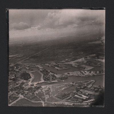
Dunkirk Dockyard
Identification kindly provided by Gareth Hughes, Christopher…
Tags: aerial photograph
Flat Farmland
Tags: aerial photograph
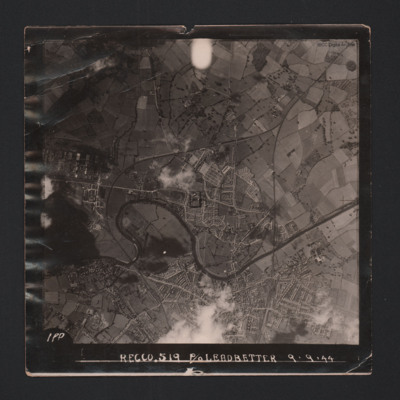
Hereford
On the reverse -
'Assumed Posn…
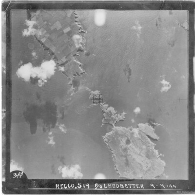
Skomer Islands
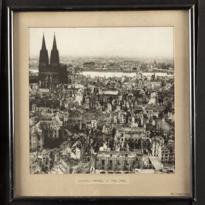
Cologne, Germany - May 1945
Tags: aerial photograph; bombing
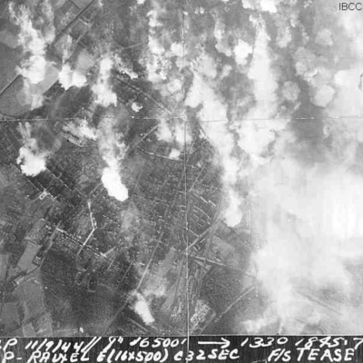
Castrop-Rauxel
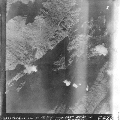
It is captioned '2536 TLP 11/9/44//8" 16500' -->1330 1845 .7…
Bergen
Bottrop
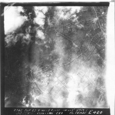
It is captioned '2762 TLP 27.9.44 8" 6000 -->265° 0934.7 Bottrop E (16x500) c 33 F/S Tease E 420'.
Calais
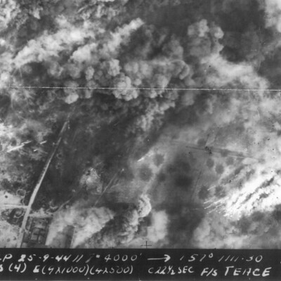
It is captioned '2693 TLP 25-9-44// 8" 4000' --> 157° 1111.30…
Marquise Minoyecques
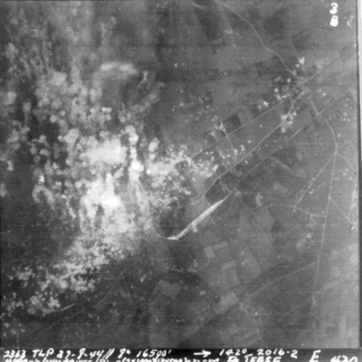
It is captioned '2363 TLP 27-8-44//8" 16500' -->142° 2016.2 Marquis/Mimoques (B) E(2x1000) (13x500) c 32 sec F/S…

![YJamesER[Ser#-DoB]v1.pdf YJamesER[Ser#-DoB]v1.pdf](https://ibccdigitalarchive.lincoln.ac.uk/omeka/files/square_thumbnails/1550/28722/YJamesER[Ser -DoB]v1.jpg)
