Browse Items (1442 total)
- Tags: aerial photograph
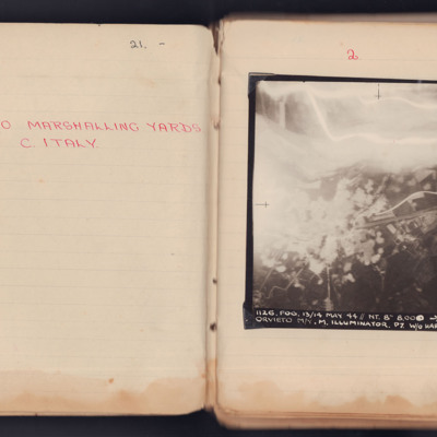
Orvieto Marshalling Yards
It is captioned '1126. Fog. 13/14 May 44 // NT. 8" 8.000-> 160° 23.18 1/2 Orvieto M/Y M. Illuminator. P7 W/O…
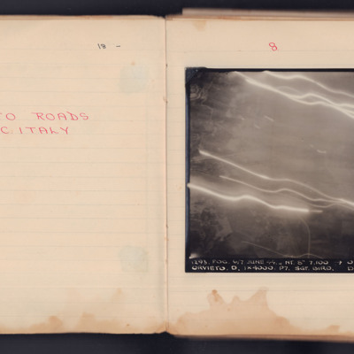
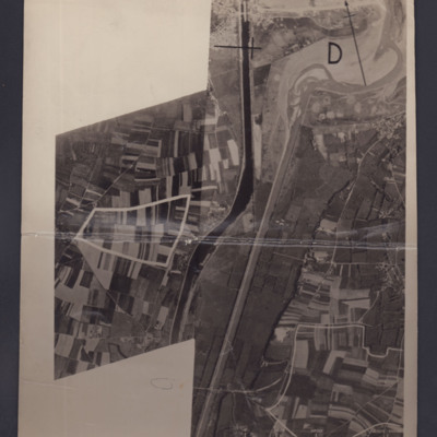
Orvieto Roads
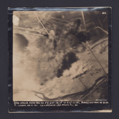
It is captioned '1293. Fog.6/7 June 44. // NT 8" 7,100' -> 030°0139 Orvieto. D. 1x4000. P7. Sgt Bird. D. 104'.
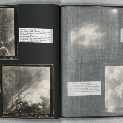
Osnabrück
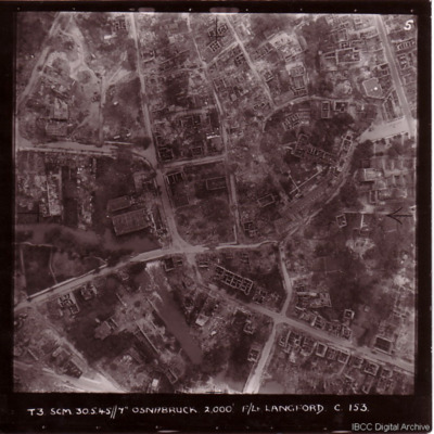
Osnabruck
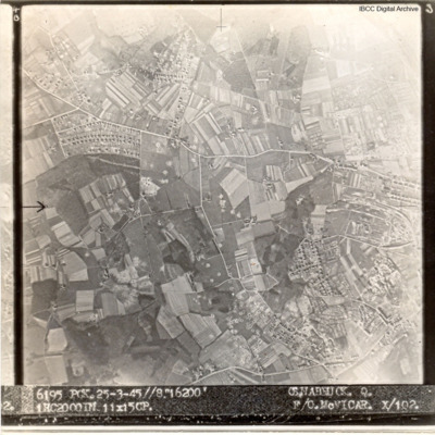
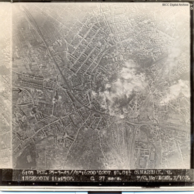
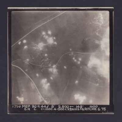
Captioned '6195 PCK. 25-3.45//8" 16200' OSNABRUCK. Q. 1HC2000IN 11X15CP. F/O McVICAR. X/102
Osnabruck
Photo 2 is a vertical aerial photograph taken during the bombing, seven minutes later. Much of the target is obscured by smoke and explosions.
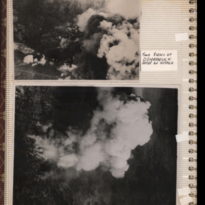
Osnabrück
Osnabrück
Bottom - target…
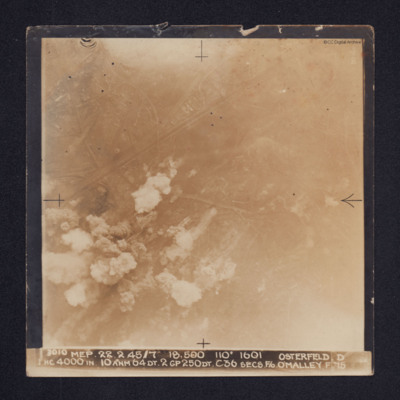
Osterfeld
Ouistreham and Port de L'Orne
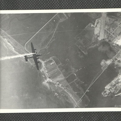
#1 which is marked "Neg No 38858" shows the Ouistreham Estuary at the top with the Canal de Caen a la Mer running top to…
Page 10 of D C Bradbury Scrapbook
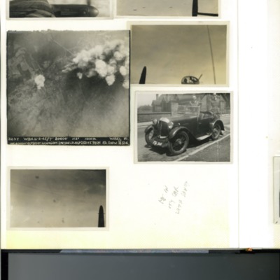
Photo 2 - air-to-air view from the mid-upper turret looking aft towards five Lancasters.
Photo 3 - vertical aerial photograph of Wesel, Germany during a bombing…
Panzano Bagni
Tags: 37 Squadron; aerial photograph; B-24
Pas de Calais
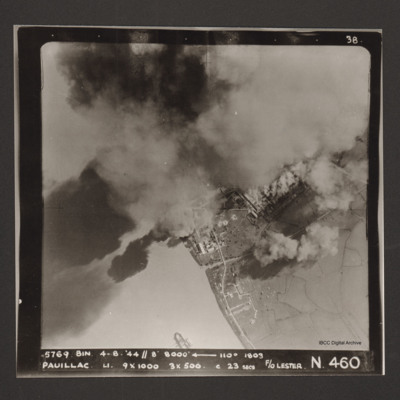
Pauillac
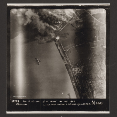
Pauillac
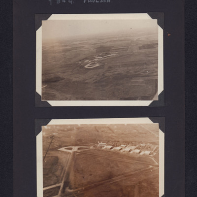
Paulson airfield
Tags: aerial photograph; hangar; runway; taxiway; training
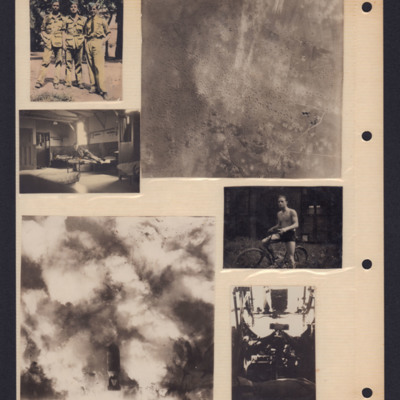
People and bombing
Top right - air-to-ground view of landscape with many bomb craters.
Middle left - an airman on bed in barrack room.
Bottom left - air to…
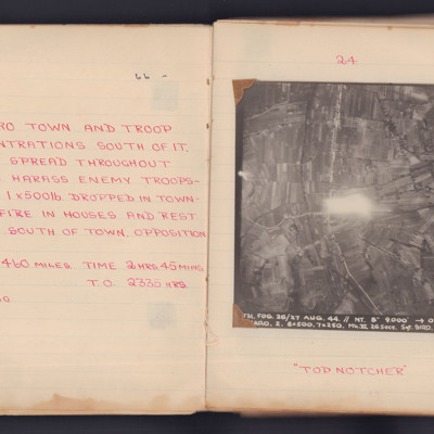
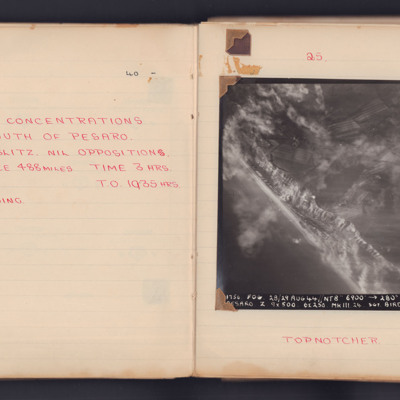
Pesaro
Pesaro
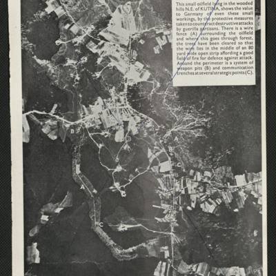
Photograph of Kutina oil field
Tags: aerial photograph
Piave/Susegana
Picton Airbase
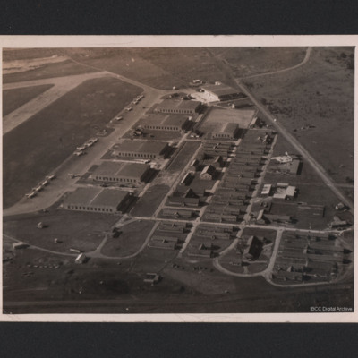
On the reverse 'Picton aerodrome. Picton Manitoba' [sic]
Tags: aerial photograph; hangar; training
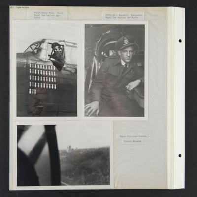
Pilot Danny Boon, Navigator Bill Bouskill and Lincoln Cathedral
Photo 1 is Pilot Danny Boon leaning out of his cockpit. 43 operations are painted on the nose. It is captioned 'Fl/Lt Danny Boon, Royal New Zealand Air Force'.
Photo 2 is Bill seated at his station, captioned 'F/Off…
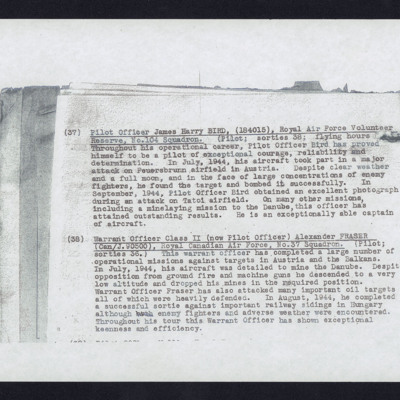
Pilot Officer James Harry Bird
Tags: 104 Squadron; 37 Squadron; aerial photograph; aircrew; bombing; mine laying; pilot
Pilot to Navigator - Where are we?
Tags: 100 Group; 4 Group; 425 Squadron; 51 Squadron; 77 Squadron; Advanced Flying Unit; aerial photograph; air gunner; Air Observers School; aircrew; Anson; anti-aircraft fire; B-17; bale out; bomb aimer; C-47; Caterpillar Club; crewing up; Distinguished Flying Cross; Distinguished Service Order; entertainment; evading; flight engineer; Flying Training School; Gee; ground personnel; H2S; Halifax; Halifax Mk 3; Heavy Conversion Unit; Hitler, Adolf (1889-1945); Hurricane; Ju 88; Lancaster; Lancaster Finishing School; Me 109; Me 110; military service conditions; missing in action; Mosquito; navigator; Nissen hut; Oboe; Operational Training Unit; Oxford; Pathfinders; pilot; prisoner of war; RAF Abingdon; RAF Acaster Malbis; RAF Bottesford; RAF Cosford; RAF Full Sutton; RAF Manston; RAF Marston Moor; RAF Melbourne; RAF Snaith; RAF St Eval; RAF Stanton Harcourt; RAF Tholthorpe; RAF West Freugh; RAF Wing; Red Cross; Resistance; shot down; sport; Stalag 3A; Stalag Luft 7; Stirling; Sunderland; target indicator; the long march; Tiger Moth; training; V-1; V-weapon; Wellington; Whitley; Window; wireless operator / air gunner; Women’s Auxiliary Air Force

