Browse Items (754 total)
- Tags: target photograph
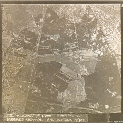
Nürnberg-Langwasser
Captioned 'PCK. 11-4-45//7" 16000' NURNBURG. M. 10ANM64IN 6MO500DT. F/O McVICAR. E/102.'
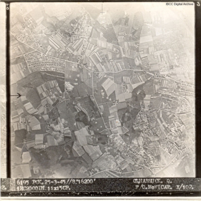
Osnabruck
Captioned '6195 PCK. 25-3.45//8" 16200' OSNABRUCK. Q. 1HC2000IN 11X15CP. F/O McVICAR. X/102
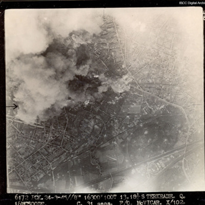
Sterkrade
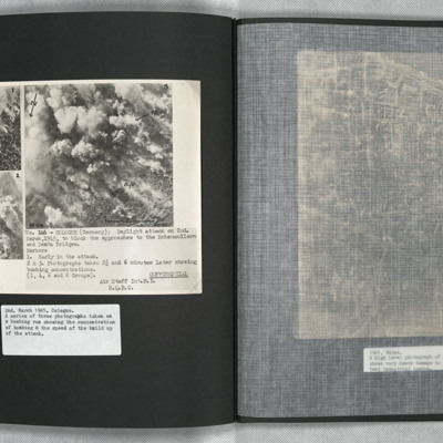
Cologne
Vohwinkel
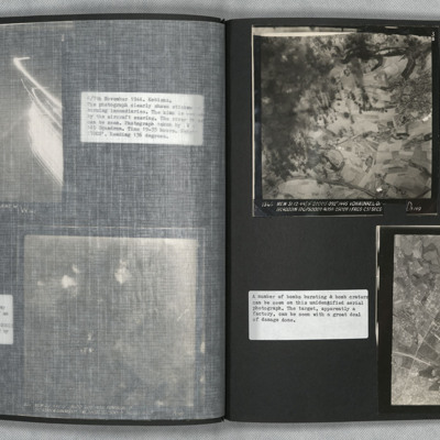
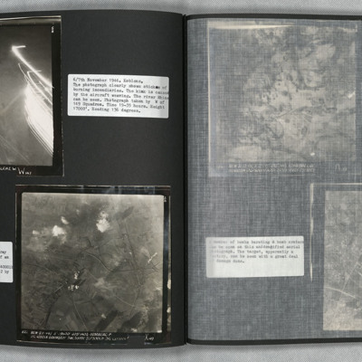
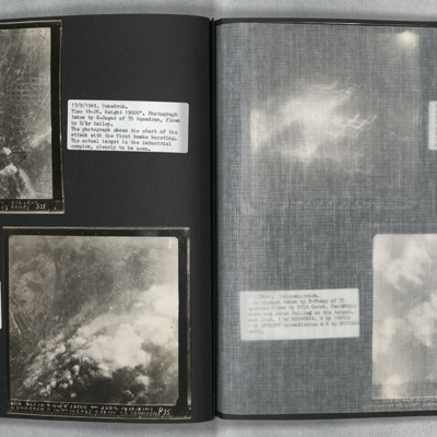
Photo 2 is a vertical aerial photograph of an unidentified location. The image is very…
Koblenz and Homberg
Photo 2 is a vertical aerial photograph of Homberg. The image is very clear with only a few explosions hiding the detail.
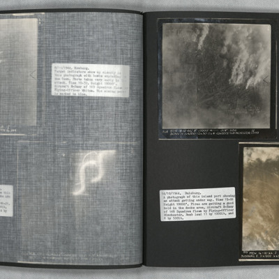
Bonn and Duisburg
Photo 2 is a vertical aerial photograph of Duisburg. The river is visible but much detail is obscured by cloud and smoke.
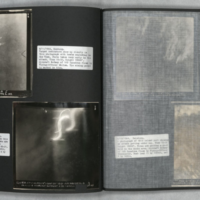
Homberg and Hohembudberg
Photo 2 is a vertical aerial photograph of Hohembudberg, Duisberg. It shows a night attack with incendiary bombs burning…
Bonn
Photo 3 is slightly later and shows large fires gaining control. Cologne is at the top left of…
Wesel and Essen
Wesel
Duren
Bochum and Gelsenkirchen
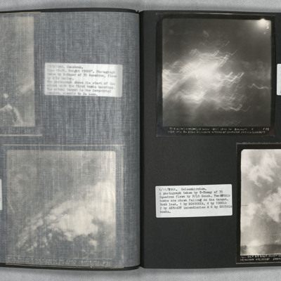
Photo 2 is a vertical aerial photography of Gelsenkirchen. Two bombs can be seen falling.
Osnabruck
Photo 2 is a vertical aerial photograph taken during the bombing, seven minutes later. Much of the target is obscured by smoke and explosions.
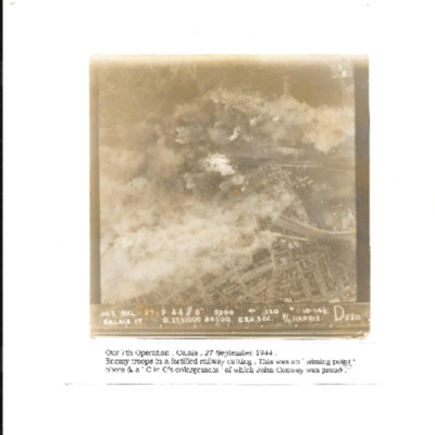
Calais
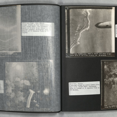
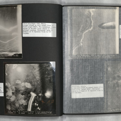
Photo 2 is a vertical aerial photograph of the Calais area. The operation is to destroy a rocket launch site. Many…
Tours
Photo 2 is a vertical aerial photograph taken during the bombing of Tours. Explosions can be seen and a…
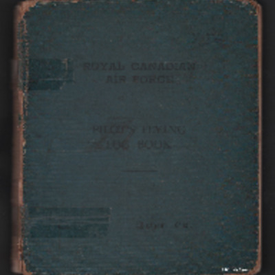
George C Dunn’s pilot's flying log book. One
Tags: 10 Squadron; 16 OTU; 1663 HCU; 18 OTU; 20 OTU; 608 Squadron; 76 Squadron; Advanced Flying Unit; aerial photograph; aircrew; Anson; bombing; bombing of Hamburg (24-31 July 1943); Bombing of Peenemünde (17/18 August 1943); Cook’s tour; Flying Training School; Halifax; Heavy Conversion Unit; Lancaster; Mosquito; Operational Training Unit; Oxford; pilot; RAF Barford St John; RAF Chipping Norton; RAF Church Broughton; RAF Downham Market; RAF Driffield; RAF Finningley; RAF Linton on Ouse; RAF Lossiemouth; RAF Melbourne; RAF Rufforth; RAF Upper Heyford; RAF Upwood; RAF Worksop; RAF Wyton; target photograph; Tiger Moth; training; Wellington
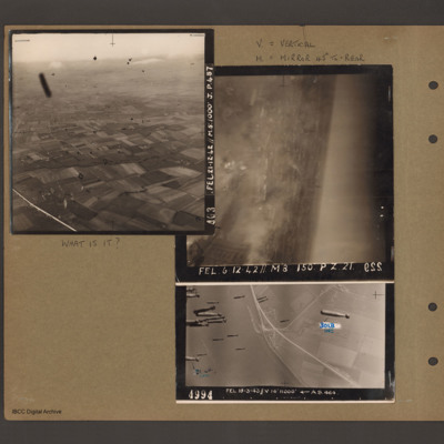
What is it?
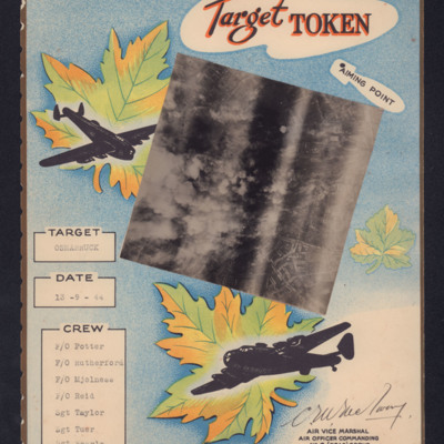
Target Token Osnabruck
‘F/O Potter
F/O Rutherford
F/O Mjolnese
F/O Reid
Sgt Taylor
Sgt Tuer
Sgt Searle’
Tags: 6 Group; aerial photograph; aircrew; bombing; target photograph
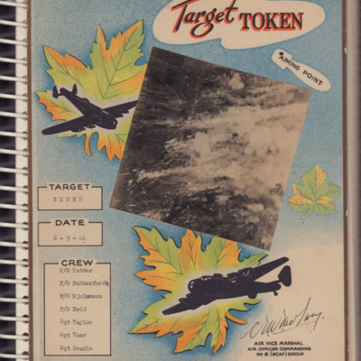
Target Token Emden
‘F/O Potter
F/O Rutherford
F/O Mjolsness
F/O Reid
Sgt Taylor
Sgt Tuer
Sgt Searle’
Tags: 6 Group; aerial photograph; aircrew; bombing; Halifax; target photograph
Calais
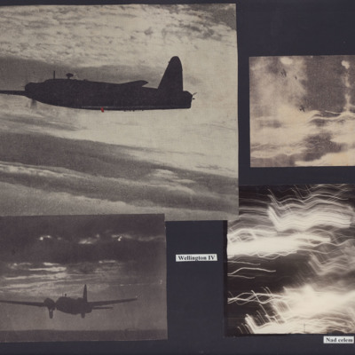
Wellingtons Over the Target
Photo 2 is a Wellington landing at night.
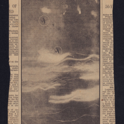
Photo 3 is a vertical aerial photograph with two Wellingtons. No detail is visible on the ground due to cloud and anti-aircraft fire.
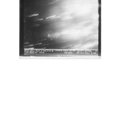
Photo 4 is a…
Axis research station destroyed
Book 5, Return to UK
Tags: 115 Squadron; 149 Squadron; 1678 HCU; 196 Squadron; 199 Squadron; 214 Squadron; 218 Squadron; 30 OTU; 514 Squadron; 623 Squadron; 90 Squadron; Advanced Flying Unit; aerial photograph; air gunner; aircrew; Anson; anti-aircraft fire; B-17; bale out; bomb aimer; bombing; Catalina; Conspicuous Gallantry Medal; crewing up; Distinguished Flying Cross; Distinguished Flying Medal; entertainment; fear; flight engineer; Gee; ground personnel; Halifax; Heavy Conversion Unit; Hurricane; incendiary device; Ju 88; Lancaster; Lancaster Mk 2; Me 110; military living conditions; military service conditions; mine laying; Mosquito; navigator; Navy, Army and Air Force Institute; Nissen hut; Operational Training Unit; Pathfinders; pilot; RAF Chedburgh; RAF Downham Market; RAF Halfpenny Green; RAF Hixon; RAF Lindholme; RAF Lossiemouth; RAF Seighford; RAF Tangmere; RAF Tuddenham; RAF Warboys; RAF Waterbeach; RAF Witchford; RAF Woolfox Lodge; Red Cross; sanitation; searchlight; Stirling; target indicator; target photograph; training; Typhoon; Victoria Cross; Wellington; wireless operator; Women’s Auxiliary Air Force

