Browse Items (888 total)
- Spatial Coverage is exactly "North Africa"
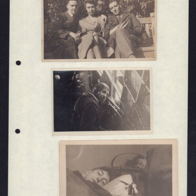
Clifford Watson, airmen and civilians
Photo 2 - an airman identified as Bill Willoughby, Navigator at Wimpey port gun position.
Photo 3 - Bill Willoughby…
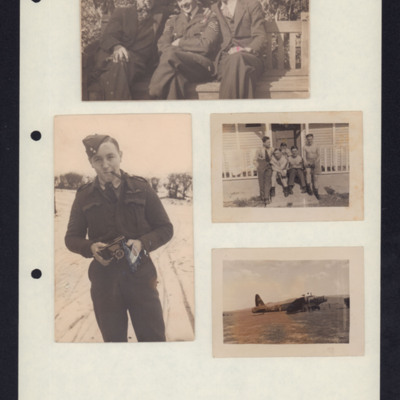
Clifford Watson, civilians, airmen and a Wellington
Photo 2 is an airman with a camera. He is smoking a pipe and he is standing on snow.
Photo 3 is five airmen seated on steps in front of a wooden building. Three men are…
Tags: 150 Squadron; aircrew; bomb aimer; pilot; Wellington
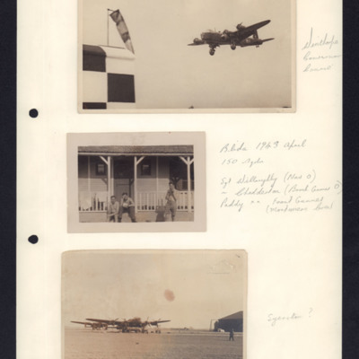
Stirling landing, Blida and Lancasters on ground
Photo 2 is three airmen sitting outside a wooden building, annotated 'Blida 1943 April 150 Sqdn Sgt Willoughby (Nav O), Chadderton…
Bill Willoughby and Stan Chadderton
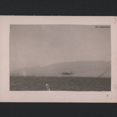
Wellington taking off
Tags: Wellington
Just Another Tailend Charlie
The Earliest Years.
Born in Barnoldswick, then in Yorkshire, now in Lancashire in 1922. His father ran a wireless business until 1926. He describes his years at schools and a move to…
Tags: 109 Squadron; 142 Squadron; 150 Squadron; 1661 HCU; 227 Squadron; 25 OTU; 30 OTU; 5 Group; 617 Squadron; 84 OTU; 9 Squadron; air gunner; Air Gunnery School; aircrew; Albemarle; Anson; anti-aircraft fire; B-17; B-24; Beaufighter; bomb aimer; bombing; bombing of Dresden (13 - 15 February 1945); C-47; Defiant; Distinguished Flying Cross; Distinguished Flying Medal; ditching; FIDO; flight engineer; Flying Training School; Gee; ground personnel; Halifax; Harvard; Heavy Conversion Unit; Hudson; Hurricane; Initial Training Wing; Ju 87; Ju 88; lack of moral fibre; Lancaster; mess; military discipline; Morse-keyed wireless telegraphy; Mosquito; navigator; Operational Training Unit; Oxford; Pathfinders; prisoner of war; RAF Balderton; RAF Bardney; RAF Bawtry; RAF Catfoss; RAF Desborough; RAF Eastleigh; RAF Farnborough; RAF Finningley; RAF Graveley; RAF Greenock; RAF Hemswell; RAF Hixon; RAF Holme-on-Spalding Moor; RAF Milltown; RAF Norton; RAF Scampton; RAF Seighford; RAF Strubby; RAF Syerston; RAF Waddington; RAF Wick; RAF Winthorpe; RAF Wyton; searchlight; Spitfire; sport; Stirling; Sunderland; Tiger force; Tiger Moth; training; Wellington; wireless operator / air gunner; Women’s Auxiliary Air Force
Book 5, Return to UK
Tags: 115 Squadron; 149 Squadron; 1678 HCU; 196 Squadron; 199 Squadron; 214 Squadron; 218 Squadron; 30 OTU; 514 Squadron; 623 Squadron; 90 Squadron; Advanced Flying Unit; aerial photograph; air gunner; aircrew; Anson; anti-aircraft fire; B-17; bale out; bomb aimer; bombing; Catalina; Conspicuous Gallantry Medal; crewing up; Distinguished Flying Cross; Distinguished Flying Medal; entertainment; fear; flight engineer; Gee; ground personnel; Halifax; Heavy Conversion Unit; Hurricane; incendiary device; Ju 88; Lancaster; Lancaster Mk 2; Me 110; military living conditions; military service conditions; mine laying; Mosquito; navigator; Navy, Army and Air Force Institute; Nissen hut; Operational Training Unit; Pathfinders; pilot; RAF Chedburgh; RAF Downham Market; RAF Halfpenny Green; RAF Hixon; RAF Lindholme; RAF Lossiemouth; RAF Seighford; RAF Tangmere; RAF Tuddenham; RAF Warboys; RAF Waterbeach; RAF Witchford; RAF Woolfox Lodge; Red Cross; sanitation; searchlight; Stirling; target indicator; target photograph; training; Typhoon; Victoria Cross; Wellington; wireless operator; Women’s Auxiliary Air Force
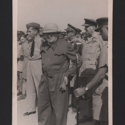
Winston Churchill and officers
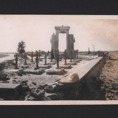
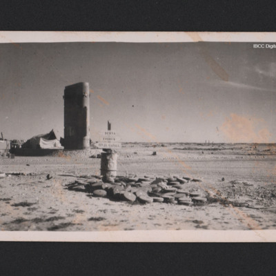
Fort Capuzzo cemetery
Identification kindly provided by Gian Paolo Bertelli.
Tags: final resting place; memorial

