Browse Items (289 total)
- Spatial Coverage is exactly "Atlantic Ocean--English Channel"
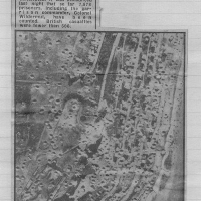
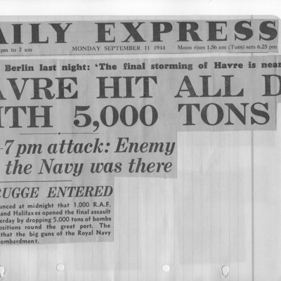
Newspaper cutting - Le Havre forts were here
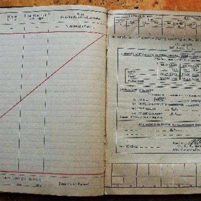
Reginald Weeden's Royal Canadian Air Force flying log book for aircrew other than pilot
Tags: 1653 HCU; 35 Squadron; 75 Squadron; 84 OTU; Advanced Flying Unit; Air Observers School; aircrew; Anson; bombing; C-47; Cook’s tour; Goodwill tour of the United States (1946); Heavy Conversion Unit; Lancaster; Lancaster Finishing School; Lincoln; navigator; Operational Training Unit; Proctor; RAF Chedburgh; RAF Desborough; RAF Feltwell; RAF Graveley; RAF Llandwrog; RAF Mepal; RAF Stradishall; Stirling; training; Wellington; York
Bill Eyles observer's and air gunners flying log book
Tags: 10 OTU; 1652 HCU; 20 OTU; 35 Squadron; 78 Squadron; Advanced Flying Unit; aircrew; Anson; Battle; bomb aimer; bombing; bombing of Hamburg (24-31 July 1943); bombing of Luftwaffe night-fighter airfields (15 August 1944); Botha; Halifax; Heavy Conversion Unit; Lancaster; Normandy campaign (6 June – 21 August 1944); Operational Training Unit; Pathfinders; RAF Abingdon; RAF Breighton; RAF Dumfries; RAF Graveley; RAF Linton on Ouse; RAF Stanton Harcourt; RAF Warboys; tactical support for Normandy troops; training; Whitley
War Memoir - George Bilton
Tags: 427 Squadron; 428 Squadron; 434 Squadron; 6 Group; aerial photograph; Air Raid Precautions; aircrew; anti-aircraft fire; bomb aimer; bombing; C-47; civil defence; Cook’s tour; crewing up; flight engineer; Halifax; Heavy Conversion Unit; lack of moral fibre; Lancaster; military discipline; military ethos; military living conditions; military service conditions; mine laying; Normandy campaign (6 June – 21 August 1944); Pathfinders; RAF Bruntingthorpe; RAF Croft; RAF Harwell; RAF Middleton St George; RAF St Athan; RAF Thorney Island; RAF Topcliffe; RAF Warboys; RAF Woodbridge; target indicator; target photograph; training; V-2; V-weapon; Wellington; Window; wireless operator / air gunner
S A Windmill’s Royal Canadian Air Force pilots flying log book. One
Tags: 158 Squadron; 1658 HCU; 19 OTU; Advanced Flying Unit; aircrew; bombing; bombing of Nuremberg (30 / 31 March 1944); bombing of the Normandy coastal batteries (5/6 June 1944); bombing of the Siracourt V-weapon site (25 June 1944); Flying Training School; Halifax; Halifax Mk 3; Harvard; Heavy Conversion Unit; Normandy campaign (6 June – 21 August 1944); Operational Training Unit; Oxford; pilot; RAF Kinloss; RAF Lissett; RAF Riccall; RAF Shawbury; RAF Upavon; Stearman; tactical support for Normandy troops; Tiger Moth; training; Whitley
Time out for war
Tags: 1 Group; 12 Squadron; 1653 HCU; 1656 HCU; 3 Group; 50 Squadron; 576 Squadron; 84 OTU; Advanced Flying Unit; aircrew; Anson; bombing of the Boulogne E-boats (15/16 June 1944); bombing of the Le Havre E-boat pens (14/15 June 1944); Bombing of Trossy St Maximin (3 August 1944); Cook’s tour; coping mechanism; crewing up; Distinguished Flying Cross; faith; Gee; H2S; Halifax; Halifax Mk 2; Heavy Conversion Unit; Initial Training Wing; Lancaster; Lancaster Finishing School; Master Bomber; military living conditions; military service conditions; mine laying; navigator; Nissen hut; Normandy campaign (6 June – 21 August 1944); Operation Dodge (1945); Operational Training Unit; Pathfinders; RAF Chedburgh; RAF Desborough; RAF Fiskerton; RAF Halfpenny Green; RAF Hemswell; RAF Lindholme; RAF Methwold; RAF Sturgate; RAF Torquay; RAF Waddington; RAF Wickenby; Stirling; tactical support for Normandy troops; target indicator; training; V-1; V-2; V-weapon; Wellington
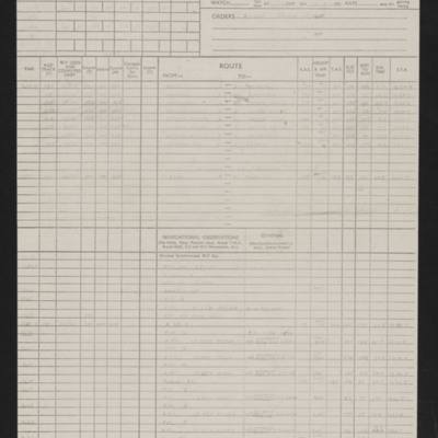
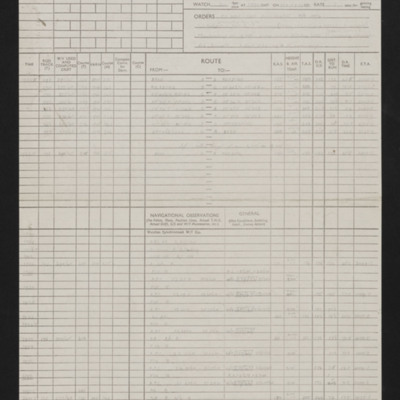
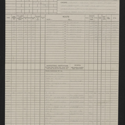
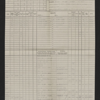
Navigation log - Op No 30
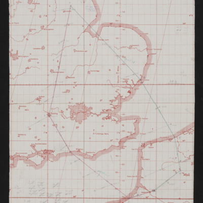
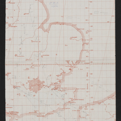
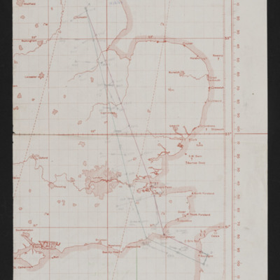
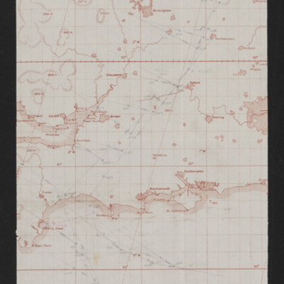
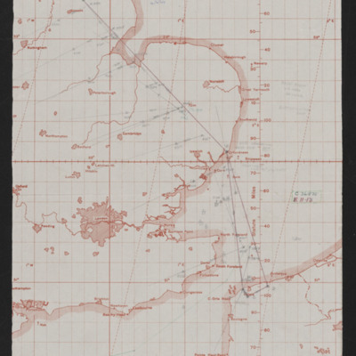
Navigation chart - operation number 30
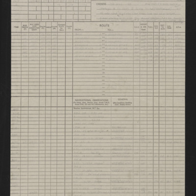
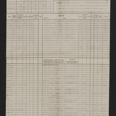
Navigation log - Op No 29
Laurie Penn's pilots flying log book
Tags: 13 OTU; 17 OTU; 2 Group; 226 Squadron; Advanced Flying Unit; air sea rescue; aircrew; Anson; B-25; bombing; Boston; Flying Training School; Magister; Operational Training Unit; pilot; Proctor; RAF Hartford Bridge; RAF Northolt; RAF Swanton Morley; RAF Turweston; Second Tactical Air Force; training; Ventura
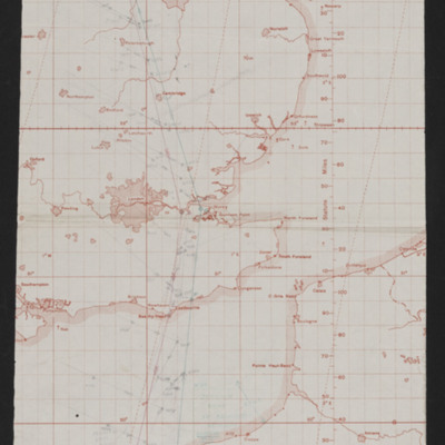
Navigation chart - operation number 15
Navigation log - Op No 13
Navigation chart - operation number 13
Navigation log - Op No 12
Navigation chart - operation number 12
Navigation log - Op No 7
Navigation chart - operation number 7
Navigation log Op No 6
Tags: aircrew; bombing; navigator; RAF Wickenby
Navigation chart - operation number 6
Tags: aircrew; bombing; navigator; RAF Wickenby
Ronald Witty’s observer’s and air gunner’s flying log book
Tags: 12 Squadron; 1653 HCU; 1656 HCU; 50 Squadron; 576 Squadron; 84 OTU; Advanced Flying Unit; air sea rescue; aircrew; Anson; anti-aircraft fire; bombing; bombing of the Boulogne E-boats (15/16 June 1944); bombing of the Le Havre E-boat pens (14/15 June 1944); bombing of the Normandy coastal batteries (5/6 June 1944); Bombing of Trossy St Maximin (3 August 1944); Cook’s tour; Gee; H2S; Halifax; Halifax Mk 2; Heavy Conversion Unit; Lancaster; Lancaster Finishing School; Lancaster Mk 1; Lancaster Mk 3; Lincoln; mine laying; navigator; Normandy campaign (6 June – 21 August 1944); Operation Dodge (1945); Operational Training Unit; RAF Chedburgh; RAF Desborough; RAF Fiskerton; RAF Halfpenny Green; RAF Hemswell; RAF Lindholme; RAF Sturgate; RAF Waddington; RAF Wickenby; Stirling; tactical support for Normandy troops; training; V-1; V-2; V-weapon; Wellington
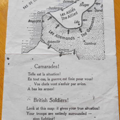
Dunkirk leaflet
This item was sent to the IBCC Digital Archive already in digital form. No…
Tags: propaganda
John Robert Watson’s observer’s and air gunner’s flying log book
Tags: 12 Squadron; 156 Squadron; 1667 HCU; 85 OTU; aircrew; bombing; bombing of Nuremberg (30 / 31 March 1944); bombing of the Normandy coastal batteries (5/6 June 1944); flight engineer; Halifax; Halifax Mk 5; Heavy Conversion Unit; Lancaster; Lancaster Mk 1; Lancaster Mk 3; Me 410; Normandy campaign (6 June – 21 August 1944); Operational Training Unit; Oxford; Pathfinders; RAF Faldingworth; RAF Husbands Bosworth; RAF Upwood; RAF Warboys; RAF Wickenby; tactical support for Normandy troops; training; V-1; V-weapon; Wellington
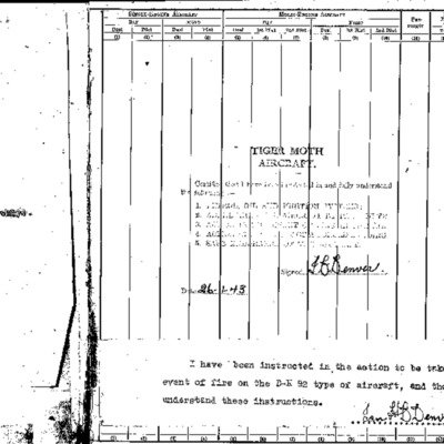
Extracts from Ian Denver's log book
Tags: 156 Squadron; 1667 HCU; 18 OTU; 625 Squadron; Advanced Flying Unit; bombing; bombing of Dresden (13 - 15 February 1945); Cook’s tour; Flying Training School; Heavy Conversion Unit; Lancaster; Lancaster Finishing School; Normandy campaign (6 June – 21 August 1944); Operation Exodus (1945); Operation Manna (29 Apr – 8 May 1945); Operational Training Unit; Oxford; Pathfinders; RAF Hemswell; RAF Kelstern; RAF Lindholme; RAF Sandtoft; RAF Warboys; Tiger Moth; training

