Browse Items (1442 total)
- Tags: aerial photograph
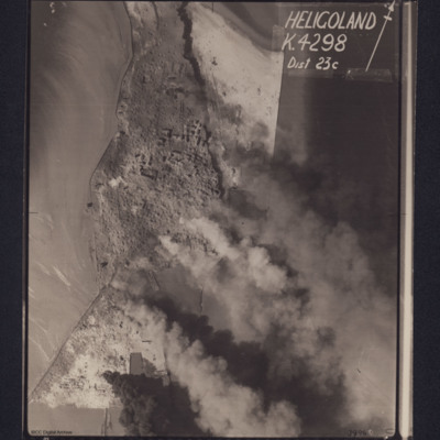
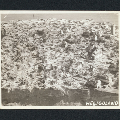
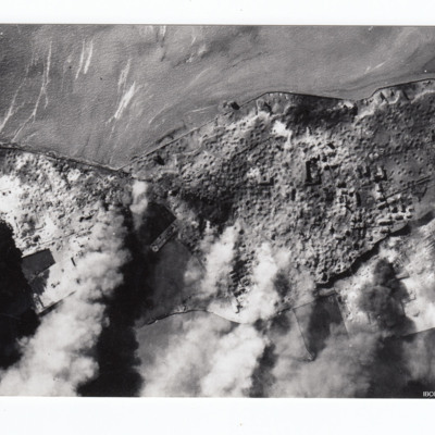
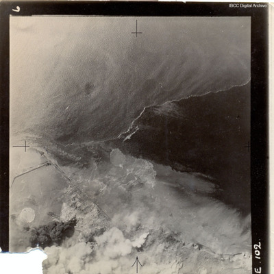
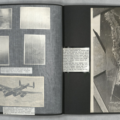
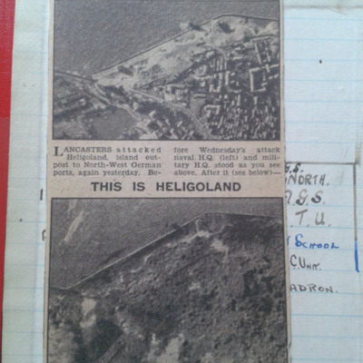
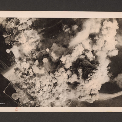
Heligoland
Heligoland
Heligoland
Additional information about these items was kindly provided by the donor.
Heligoland
Heligoland
Heligoland Cutting
Heligoland under attack
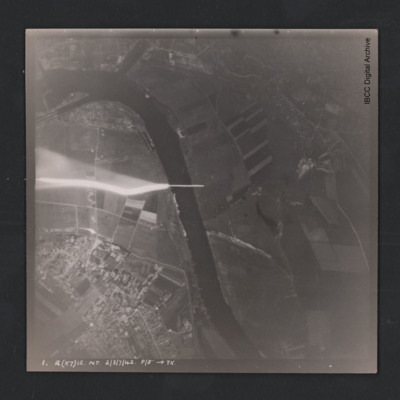
Hemelingen
Henry Wagner's life story. Part one
Tags: 1652 HCU; 51 Squadron; Advanced Flying Unit; aerial photograph; air gunner; Air Observers School; aircrew; Anson; anti-aircraft fire; bale out; bomb aimer; briefing; C-47; Caterpillar Club; coping mechanism; crewing up; debriefing; Dulag Luft; evading; final resting place; flight engineer; Flying Training School; Gee; Halifax; Halifax Mk 3; Heavy Conversion Unit; incendiary device; killed in action; Master Bomber; military ethos; military living conditions; military service conditions; missing in action; navigator; Operational Training Unit; padre; Pathfinders; perception of bombing war; pilot; prisoner of war; RAF Abingdon; RAF Acaster Malbis; RAF Heaton Park; RAF Marston Moor; RAF Snaith; RAF West Freugh; recruitment; Red Cross; shot down; Stalag 3A; Stalag Luft 7; target indicator; target photograph; the long march; Tiger Moth; training; Whitley; Window
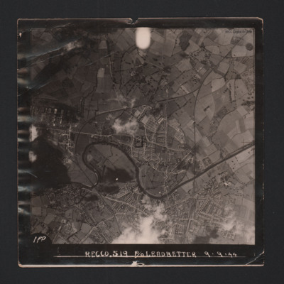
Hereford
On the reverse -
'Assumed Posn…
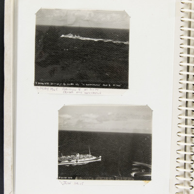
HMS Newcastle and Hospital ship
Bottom, a picture of a hospital ship at sea captioned 'T2077 STD' and '6…
Tags: 517 Squadron; aerial photograph
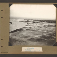
Holland Flushing
Tags: aerial photograph; bombing; Cook’s tour
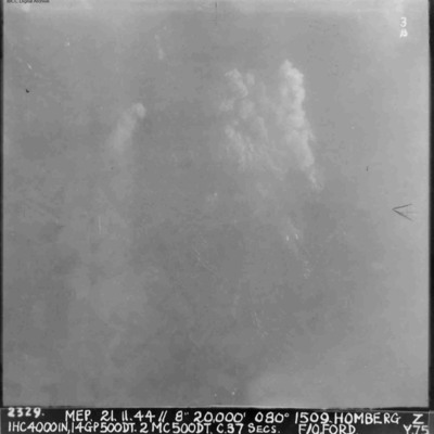
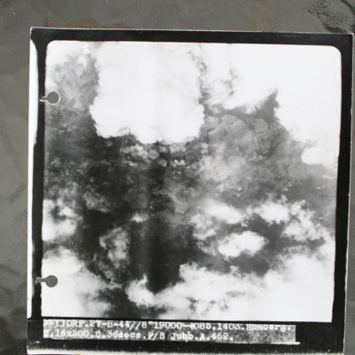
Homberg
Homberg
This item was sent to the IBCC Digital Archive already in digital form. No better quality copies are…
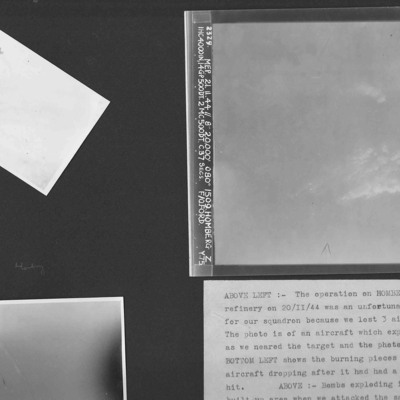
Homberg and a Lancaster exploding in mid-air
Photo 1 is an air-to-air photograph of an aircraft exploding after a direct hit.
Photo 2 is an air-to-air photograph of burning pieces of an aircraft after a direct hit.
Photo 3 is a vertical aerial photograph of…
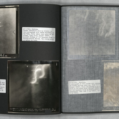
Homberg and Hohembudberg
Photo 2 is a vertical aerial photograph of Hohembudberg, Duisberg. It shows a night attack with incendiary bombs burning…
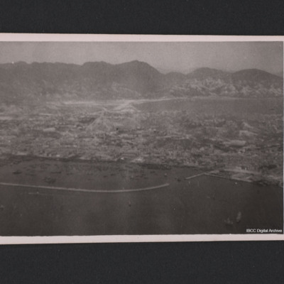
Hong Kong Mainland
Tags: aerial photograph
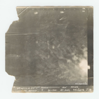
Hopsten Airfield
Houffalize
It is captioned '4079 Skell 30/31.12.44 // NT (C) 8" 10500' 005° 0503 Houffalize. T. 11ANM 65DT. 4GP 00. 21 secs.…
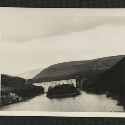
Howden dam and Upper Derwent reservoir
Tags: aerial photograph
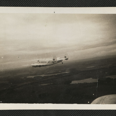
Hudson in Flight
Tags: 53 squadron; aerial photograph; Hudson
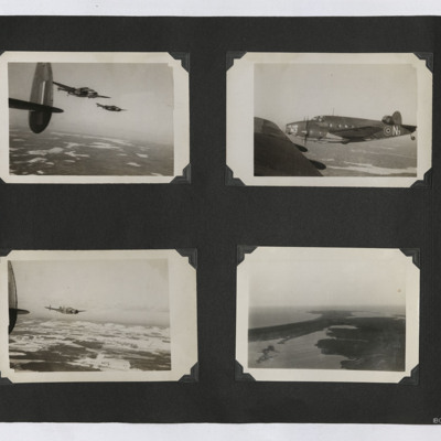
Hudsons and a Coastal View
1. Air to air photograph of two Hudsons in flight, taken from a third. The ground is visible.
2. Air to air photograph of Hudson N3 in close formation. Taken from another Hudson.
3. Air to air…
Tags: aerial photograph; Hudson
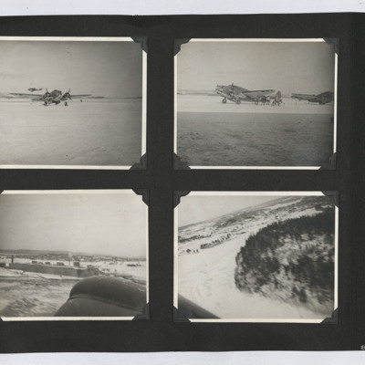
Hudsons and Aerial Photographs
#1 is a starboard/front view of a Hudson in the snow. Behind a second Hudson is flying by, low level.
#2 is two Hudsons parked on the snow.
#3 is an aerial view of hangars in the snow. Part of the aircraft is in the…
Tags: aerial photograph; Hudson
I Flew with Nine Wing Commanders
Tags: 12 Squadron; 153 Squadron; 50 Squadron; aerial photograph; aircrew; Anson; anti-aircraft fire; Battle; Beaufighter; Blenheim; bombing; Cook’s tour; coping mechanism; crash; crewing up; debriefing; dispersal; Distinguished Flying Medal; Do 217; entertainment; final resting place; fitter airframe; fitter engine; flight engineer; fuelling; ground crew; Halifax; Halifax Mk 1; Halifax Mk 3; He 111; Heavy Conversion Unit; incendiary device; Lancaster; Lancaster Finishing School; Lancaster Mk 1; Lancaster Mk 3; Lincoln; mess; military ethos; military living conditions; military service conditions; mine laying; Navy, Army and Air Force Institute; Nissen hut; nose art; Operation Dodge (1945); Operation Manna (29 Apr – 8 May 1945); pilot; promotion; RAF Cosford; RAF Faldingworth; RAF Halton; RAF Hemswell; RAF Kirmington; RAF Llandwrog; RAF Scampton; RAF St Athan; RAF Sturgate; RAF Tilstock; RAF Waddington; RAF Wickenby; recruitment; target photograph; training; Whitley; Window

