Browse Items (754 total)
- Tags: target photograph
Gorenflos V-1 base
Tags: aerial photograph; bombing; Halifax; target photograph
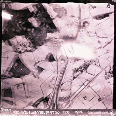
Gravenhorst
Hamm
Hangelar
Hannover
Harburg
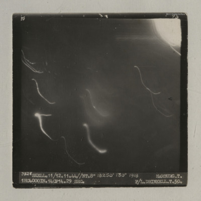
It is captioned '3528 Skell. 11/12.11.44//NT.8" 18250' 130° 1918 Harburg. T. 1HC4000IN.14CP14. 29 sec. F/L…
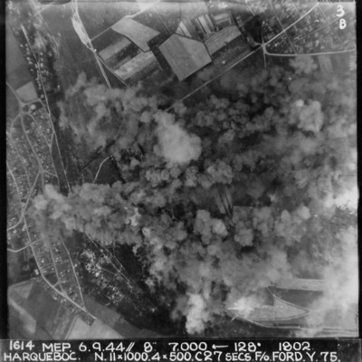
Harqueboc
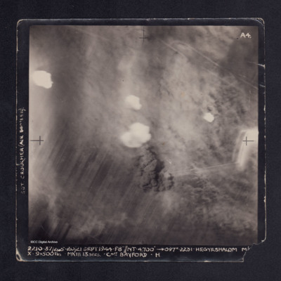
Hegyeshalom
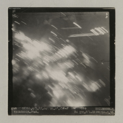
Heilbronn
It is captioned '3725 Skell. 4/5.12.44//NT. 8". 13800' 146° 1935…
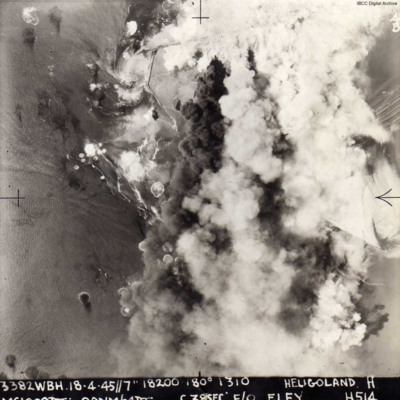
Helgoland
The image is…
Helgoland
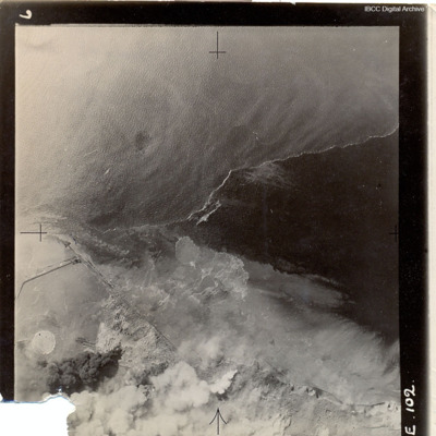
Heligoland
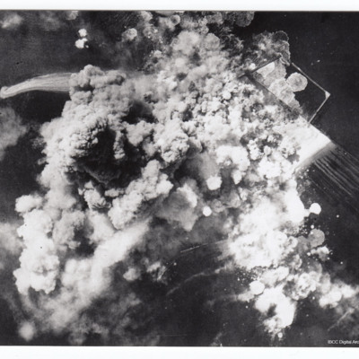
Heligoland under attack
Hemelingen
Henry Wagner's life story. Part one
Tags: 1652 HCU; 51 Squadron; Advanced Flying Unit; aerial photograph; air gunner; Air Observers School; aircrew; Anson; anti-aircraft fire; bale out; bomb aimer; briefing; C-47; Caterpillar Club; coping mechanism; crewing up; debriefing; Dulag Luft; evading; final resting place; flight engineer; Flying Training School; Gee; Halifax; Halifax Mk 3; Heavy Conversion Unit; incendiary device; killed in action; Master Bomber; military ethos; military living conditions; military service conditions; missing in action; navigator; Operational Training Unit; padre; Pathfinders; perception of bombing war; pilot; prisoner of war; RAF Abingdon; RAF Acaster Malbis; RAF Heaton Park; RAF Marston Moor; RAF Snaith; RAF West Freugh; recruitment; Red Cross; shot down; Stalag 3A; Stalag Luft 7; target indicator; target photograph; the long march; Tiger Moth; training; Whitley; Window
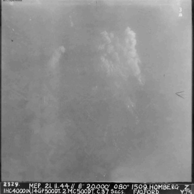
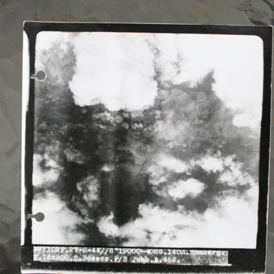
Homberg
Homberg
This item was sent to the IBCC Digital Archive already in digital form. No better quality copies are…
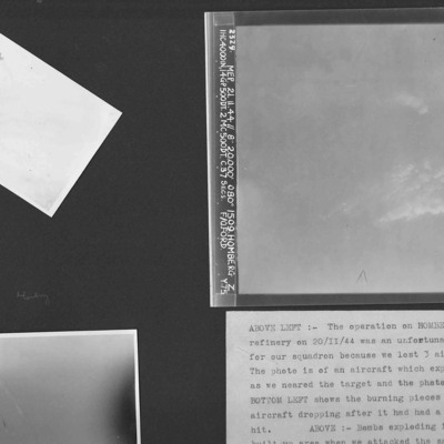
Homberg and a Lancaster exploding in mid-air
Photo 1 is an air-to-air photograph of an aircraft exploding after a direct hit.
Photo 2 is an air-to-air photograph of burning pieces of an aircraft after a direct hit.
Photo 3 is a vertical aerial photograph of…
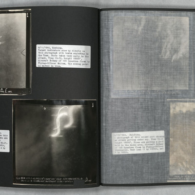
Homberg and Hohembudberg
Photo 2 is a vertical aerial photograph of Hohembudberg, Duisberg. It shows a night attack with incendiary bombs burning…
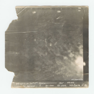
Hopsten Airfield
Houffalize
It is captioned '4079 Skell 30/31.12.44 // NT (C) 8" 10500' 005° 0503 Houffalize. T. 11ANM 65DT. 4GP 00. 21 secs.…
I Flew with Nine Wing Commanders
Tags: 12 Squadron; 153 Squadron; 50 Squadron; aerial photograph; aircrew; Anson; anti-aircraft fire; Battle; Beaufighter; Blenheim; bombing; Cook’s tour; coping mechanism; crash; crewing up; debriefing; dispersal; Distinguished Flying Medal; Do 217; entertainment; final resting place; fitter airframe; fitter engine; flight engineer; fuelling; ground crew; Halifax; Halifax Mk 1; Halifax Mk 3; He 111; Heavy Conversion Unit; incendiary device; Lancaster; Lancaster Finishing School; Lancaster Mk 1; Lancaster Mk 3; Lincoln; mess; military ethos; military living conditions; military service conditions; mine laying; Navy, Army and Air Force Institute; Nissen hut; nose art; Operation Dodge (1945); Operation Manna (29 Apr – 8 May 1945); pilot; promotion; RAF Cosford; RAF Faldingworth; RAF Halton; RAF Hemswell; RAF Kirmington; RAF Llandwrog; RAF Scampton; RAF St Athan; RAF Sturgate; RAF Tilstock; RAF Waddington; RAF Wickenby; recruitment; target photograph; training; Whitley; Window
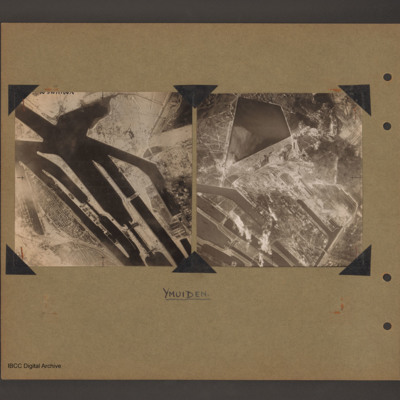
Ijmuiden Holland
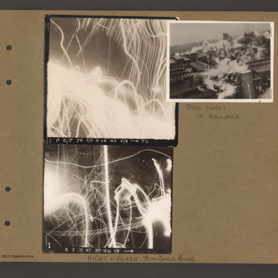
Images of night anti-aircraft tracer and a day attack on Philips radio and valve works in Eindhoven
To…
Innsbruck
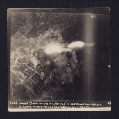
2852 104/92 10/11 APL 45…

