Browse Items (108 total)
- Tags: runway
Sort by:
RAF Leeming
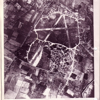
A copy of a vertical aerial photograph of Leeming with an annotation 'Dispersal for "A-Able" -429'.
RAF Leeming
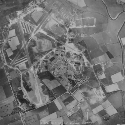
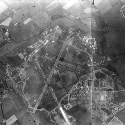
A vertical aerial photograph of Leeming showing the extension to two runways to the south and south east. Halifaxes can be seen on dispersals.
It is annotated '8 TPC 28.5.43// F5" 6" = 1 mile Leeming'.
It is annotated '8 TPC 28.5.43// F5" 6" = 1 mile Leeming'.
RAF Leeming
A vertical aerial photograph of Leeming. Camouflage markings can be seen on the airfield.
RAF Dyce from the air
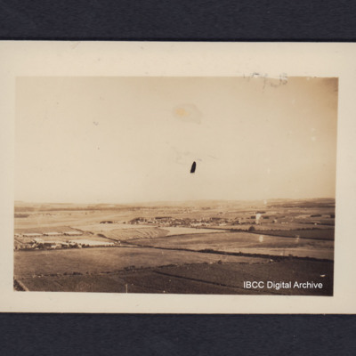
Oblique aerial photograph of a runway In the distance running from lower left to middle of the image, surrounded by fields with a village in the centre. On the reverse 'Dyce airfield near Aberdeen, from low flying Lancaster'.
Tags: aerial photograph; Lancaster; RAF Dyce; runway
RAF Dishforth
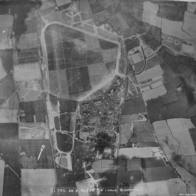
A vertical aerial photograph of Dishforth. Hangars and dispersals can be clearly seen. The central grass area has been camouflaged but the grass runways can be identified. Several aircraft are visible.
It is captioned '11 TPC 28.5.43 //F5" 6"=1 mile…
It is captioned '11 TPC 28.5.43 //F5" 6"=1 mile…
RAF Coningsby
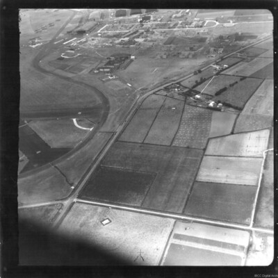
An oblique aerial photograph of RAF Coningsby. On the left identifiers '22' and '26' are visible on tarmac runways. At the top are five hangars and seven camouflaged aircraft parked outside.
Identification kindly provided by David Parker of the…
Identification kindly provided by David Parker of the…
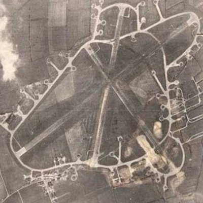
RAF Breighton
Reconnaissance photograph of an airfield with three runways, perimeter track, dispersals and buildings. Submitted with caption 'Aerial view of wartime RAF Breighton'.
This item was sent to the IBCC Digital Archive already in digital form. No…
This item was sent to the IBCC Digital Archive already in digital form. No…
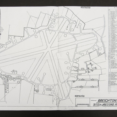
Plan of RAF Breighton
Site record plan, line drawing of runways, perimeter track, dispersals and buildings of RAF Breighton.
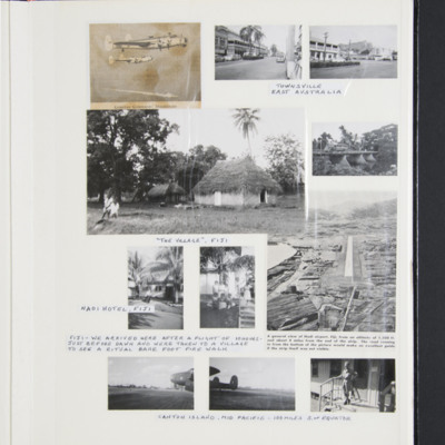
Photographs and memorabilia of Keith Thompson's first journey to Christmas Island June - July 1956
First is a cutting, of two Shackletons in flight, ship in background, captioned 'Coastal Command Shackletons'.
Two photographs of street scenes captioned 'Townsville East Australia'.
Two photographs captioned 'The village Figi', annotated '…
Two photographs of street scenes captioned 'Townsville East Australia'.
Two photographs captioned 'The village Figi', annotated '…
Tags: mess; runway; Shackleton
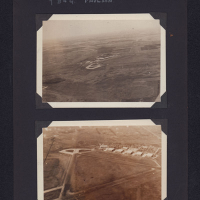
Paulson airfield
Top - view from the air of concrete hardstanding and buildings on an airfield in the distance. Bottom - closer view showing triangular runways, hardstanding and buildings. Captioned '7 B & G Paulson'.
Tags: aerial photograph; hangar; runway; taxiway; training
Ontario views
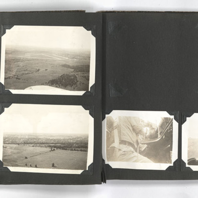
The photograph on the top left of the left page shows an aerial view of Picton airfield Ontario.
The photograph on the top right of the left page shows an aerial view of Picton airfield with a runway in the background. A wing of an aircraft can be…
The photograph on the top right of the left page shows an aerial view of Picton airfield with a runway in the background. A wing of an aircraft can be…
Tags: aerial photograph; perimeter track; runway
On take off
Account of crew actions during take off and one particular time when aircraft ahead slewed when tire burst half way down the runway. Luckily they were able to get airborne and avoid the other aircraft.
North Tinian Field
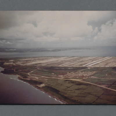
Air to ground view of airbase with multiple runways on the tip of an island. Another island beyond on the left. On the reverse 'North Field Tinian Aug 1945' but not in Group Captain Leonard Cheshire's writing. Circa 1980s reprint of a 1945 colour…
Tags: aerial photograph; runway
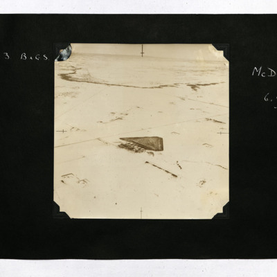
No 3 BAGS McDonald
An aerial view of McDonald airfield surrounded by snow, captioned 'McDonald 6,000 ft'.
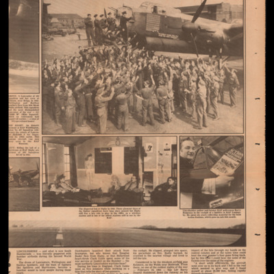
Newspaper articles featuring 103 Squadron
Article 1 has a photograph of the nose of Lancaster Mike Squared, S for Sugar at Waddington, the dispersal hut at Digby and Barry Halpenny in the cockpit of a Spitfire with his book 'Action Stations'. The cutting mentions Douglas Bader flying from…
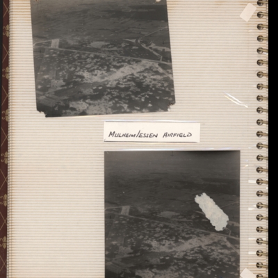
Mulheim/Essen airfield
Top - oblique aerial photograph of an airfield with many bomb craters. Two wide grass runways forming a “V” at bottom left, with taxi-track running left to right across centre of photograph. Hardstanding leads off at top right with two or more…
Tags: aerial photograph; bombing; Cook’s tour; perimeter track; runway
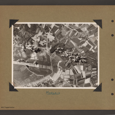
Morlaix airfield
Aerial vertical photograph of open countryside with an airfield marked out on the left side. A perimeter track runs from middle left around the airfield ending at bottom left. There is a loop taxiways from the top right of perimeter track leading to…
Moody Field
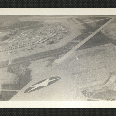
An aerial photograph showing runways and apron at Moody Field, as annotated on the reverse.
Tags: aerial photograph; runway
Medicine Hat
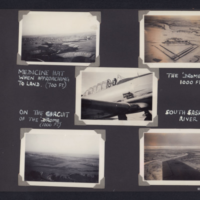
Top left - air to ground view of river valley winding up from bottom with terraces either side and a town in middle distance. Captioned 'Medicine Hat when approaching to land (700 Ft)'. Top right - air to ground view of an airfield with triangular…
Tags: aerial photograph; Harvard; runway
Letter from P Lamprey to W Gunton
Peter Lamprey writes about bombing operations to Bochum and then Kassel after which German aircraft followed them home and bombed runway as they went in to land, subsequently putting the airfield unserviceable with anti-personnel bombs. In conclusion…
Letter from Malcolm Payne to Doris Weeks
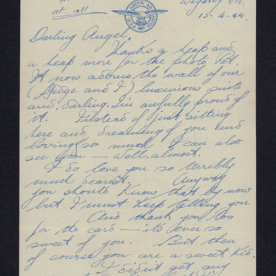
Thanks her for photograph and card and complains that he has received no parcel. Sorry he missed seeing her but had to be back at base. Flew but overran runway into hedge on landing. Ends with endearments.
Tags: love and romance; RAF Wigsley; runway
Letter from Bill Akrill to his mother
Bill has received her parcel and letter. Visited Bury St Edmunds. Describes area around camp and where it is in relation to part of the village. Would be a good place to use his bike when it is repaired. May remain there but could move if parent…
Lancasters
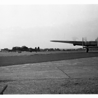
Three Lancasters preparing to take off. One is lined up on the runway.
Tags: Lancaster; perimeter track; runway; taxiway
Lancasters
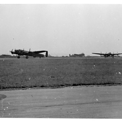
Three Lancasters preparing to take off, taken from another aircraft .
Tags: Lancaster; perimeter track; runway; taxiway

![ELampreyPGuntonW[Date]-37.pdf ELampreyPGuntonW[Date]-37.pdf](https://ibccdigitalarchive.lincoln.ac.uk/omeka/files/square_thumbnails/372/6547/ELampreyPGuntonW[Date]-37.jpg)
![EAkrillWEAkrill[Mo]430306-0001.jpg EAkrillWEAkrill[Mo]430306-0001.jpg](https://ibccdigitalarchive.lincoln.ac.uk/omeka/files/square_thumbnails/666/18090/EAkrillWEAkrill[Mo]430306-0001.jpg)
