Browse Items (167 total)

  • Tags: reconnaissance photograph

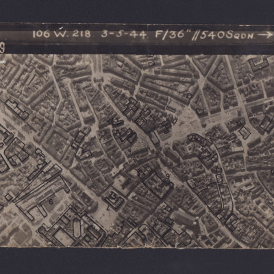
PAnsellHT1806.jpg
Reconnaissance photograph of Munich. Some buildings have been marked and annotated with numbers. The Frauenkirche is visible in the bottom right corner. Captioned '3139 106 W.218 3-5-44 F/36” // 540SQDN→ '.

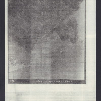
PAnsellHT1805.jpg
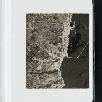
Target photograph of an unidentified target, coastline and built-up area. Captioned '3026 D/490.542 SQDN 4 May 43 F/20→'.

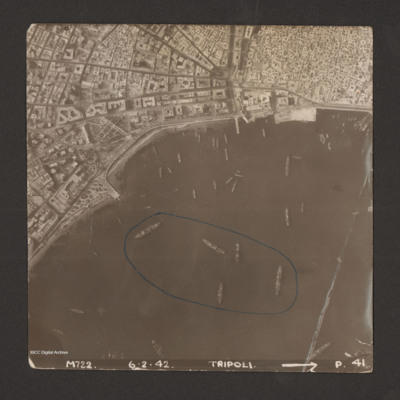
PClarkD1506.jpg
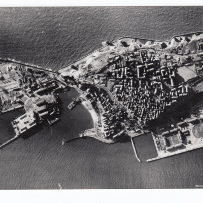
Reconnaissance photograph of harbour area. There are many ships, some of them identified as Anna Maria, Ariosto, Atlas, Bengasi, Beppe, Bosforo, Delia, and Pisani. Five ships have been enclosed by blue line. There is a breakwater along right side.…

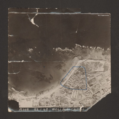
PClarkD1504.jpg
Reconnaissance photograph with a shoreline running from bottom left to middle right with sea at top and land below. Buildings cover the land; military storehouses near Via Cannizzaro e Via Giuseppe Colombo are outlined in blue. Captioned 'M702…

PLarmerLO15010009.jpg
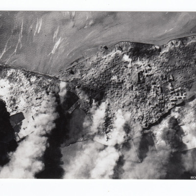
Reconnaissance photograph of Heligoland after bombing, with most buildings and port facilities destroyed and large plumes of smoke from fires.

Additional information about these items was kindly provided by the donor.

MCluettAV120946-150515-08.jpg
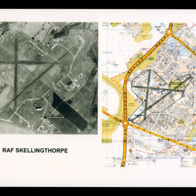
On the left a reconnaissance photograph of RAF Skellingthorpe marked with runway directions and operations blocked indicated by an arrow. On the right a colour map of the Birchwood section of Lincoln with airfield boundary and runways drawn over.

PMooreWT1508.jpg
William Moore was born in Dunoon, Scotland in August 1924 and joined the Royal Air Force after spending some time in the Air Cadet Defence Corps and in the Air Training Corps. He volunteered for the Royal Air Force at the age of 17 and completed his…

PFlowersHJ1608.jpg
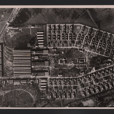
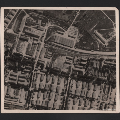
Vertical aerial photograph of an area of industrial buildings with a network of roads throughout and a main railway station on the left, where marshalling yards and train tracks are clearly visible. Many buildings of varying size and a wall is going…

PFlowersHJ1604.jpg
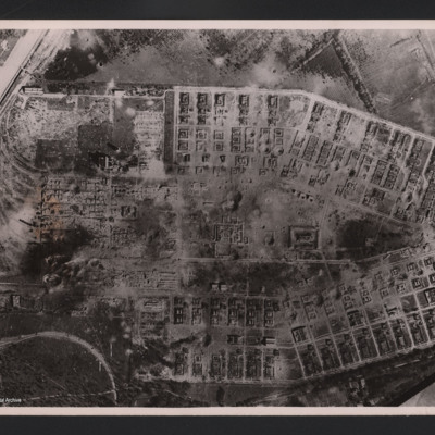
Aerial vertical photograph of two long rows of destroyed buildings around a central space with two destroyed individual buildings and a damaged roadway system. The area is surrounded by fields but at the left hand side of the photograph two main…

PFlowersHJ1602.jpg
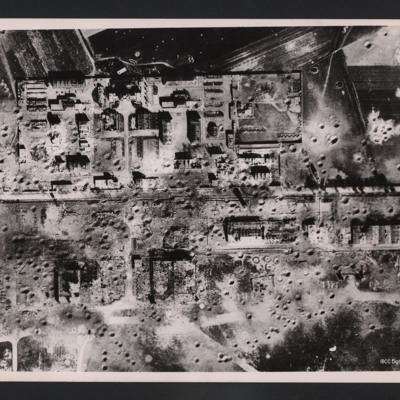
Vertical aerial photograph of an area showing severely destroyed buildings and large craters appearing throughout. A road is going through the middle of the buildings and the area is surrounded by fields, also covered with craters.

On the reverse…

PLarmerLO15010007.jpg
Reconnaissance photograph of Helgoland with port facilities visible.

Additional information about this item was kindly provided by the donor.

PDixonAS1501.jpg
Alec Stuart Dixon volunteered for the Royal Air Force via the Royal Air Force Volunteer Reserve. After training he flew Beauforts and Ansons, then trained as a Hudson pilot. He flew convoy escort operations and reconnaissance flights looking for…

PTwellsE15070022.jpg
An vertical aerial photograph of Brest docks. Annotated 'S/M Shelters'.

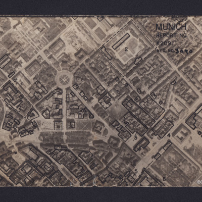
PAnsellHT1609.jpg
Vertical aerial reconnaissance photograph annotated 'Munich Report No K2091 Neg No 3090' and with a North arrow. No date. Photograph has been marked up to show bomb damage, with buildings outlined in black being those where the roof has been…

PCavalierRG17010030.jpg
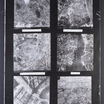
Photograph 1 is a vertical aerial photograph of the city of Aachen. There are numbered and arrowed points of interest on the image plus a north arrow. It is annotated 'R405 B/218.3.PRU 22.14.7.41 28" ' Captioned '14th July 1941 Archen [sic],…

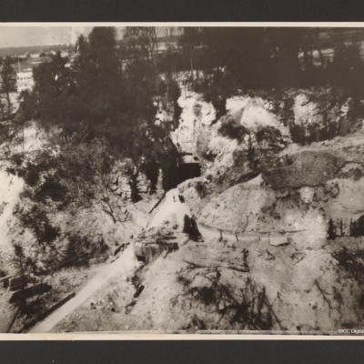
PHughesAM15010003.jpg
Low level oblique aerial photograph of a narrow road leading from the bottom left up a valley to the centre where it meets the square entrance to a tunnel in a hillside. To the left of the valley and above the entrance are trees.

POHaraHF16020001.jpg
Aerial photograph of large military camp, showing it before and after bombing. A railway line runs in from the right centre of the photograph and terminates in upper centre, having split into three lines. There is a train in situ on the main line.…

POHaraHF16010003.jpg
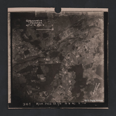
Vertical aerial photograph of Romorantin-Pruniers aerodrome, identified with text ‘Romorantin-Pruniers 46° 19’N 1°41E’. The remainder of the photograph is rural with small villages except for the airfield area which has many buildings. An…

PSandersDS16020011.jpg
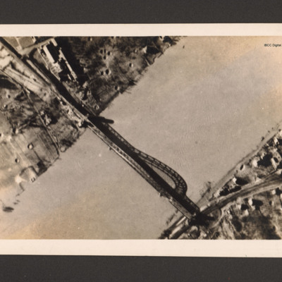
Reconnaissance photograph of bridge. A river runs bottom left to top right and a metal arch bridge from top left to bottom right. There are a few buildings in the top left along with bomb craters. Ther are a few buildings and a railway line at the…

PSandersDS16020009.jpg
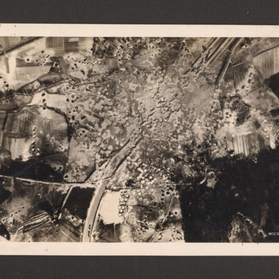
Reconnaissance photograph showing the Mitelland Canal at Gravenhorst running from top right to centre bottom. A large area in the centre is completely covered with craters and the canal has disappeared. To the right bottom a large wooded area and to…

PSandersDS16020003.jpg
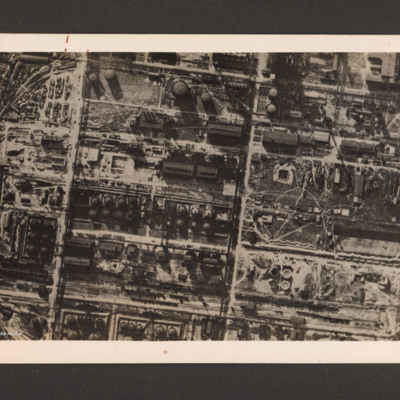
Reconnaissance photograph of a German synthetic oil plant. Within a grid pattern a large number of oil tanks, buildings, pipeline and oil manufacturing installations. A railway runs along the bottom. On the reverse 'R.A.F. destroys German synthetic…

PSandersDS16020001.jpg
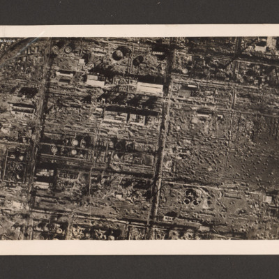
Reconnaissance photograph of the destroyed Zeitz synthetic oil plant, Saxony-Anhalt, Germany. On the left side within a grid a large number of damaged oil tanks, manufacturing buildings and installations. On the right three destroyed oil tanks at…

PWrightJ1536.jpg
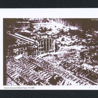
Oblique aerial of bomb damage to the Krupps workshops. Captioned 'Krupps Armament Works Essen 11-3-1945'.

PWrightJ1534.jpg
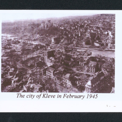
Oblique aerial of a damaged city. In the centre is a river and a low hill. In the distance are undamaged buildings. Captioned 'The city of Kleve in February 1945'.
Output Formats

atom, dc-rdf, dcmes-xml, json, omeka-xml, rss2