Browse Items (1459 total)
- Tags: aerial photograph
Bob Smith's Memoirs 1
Tags: 115 Squadron; 142 Squadron; 15 Squadron; 166 Squadron; 4 Group; 44 Squadron; 463 Squadron; 466 Squadron; 49 Squadron; 5 Group; 619 Squadron; 622 Squadron; 640 Squadron; 76 Squadron; 78 Squadron; aerial photograph; Air Observers School; aircrew; Anson; Beaufighter; bomb aimer; Boston; crash; Distinguished Flying Cross; entertainment; H2S; Halifax; Initial Training Wing; killed in action; Lancaster; Morse-keyed wireless telegraphy; Mosquito; navigator; Oboe; observer; Operational Training Unit; pilot; prisoner of war; RAF Breighton; RAF Dunholme Lodge; RAF Halfpenny Green; RAF Holme-on-Spalding Moor; RAF Kirmington; RAF Leconfield; RAF Mildenhall; RAF Moreton in the Marsh; RAF Waddington; RAF Witchford; recruitment; Red Cross; sport; Stalag Luft 3; Stalag Luft 7; training; V-1; V-weapon; Wellington; wireless operator
St Albert
Tags: aerial photograph
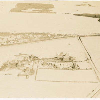
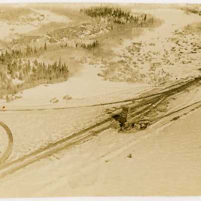
Josephburg Grain Silos
In Bob's memoirs he identifies these as being at Josephburg, close to Fort Saskatchewan.
Tags: aerial photograph
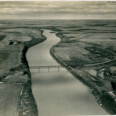
Bridge over the North Saskatchewan River
In Bob's memoirs he identifies the bridge as over the North Saskatchewan River about 1.5 miles SW of Fort Saskatchewan looking in the general direction of Edmonton.
Tags: aerial photograph
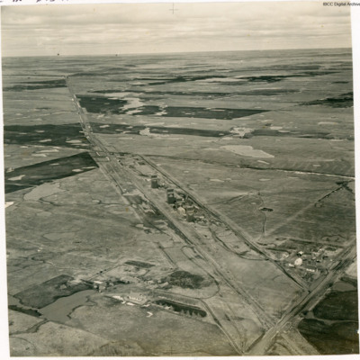
Carbondale Grain Silo
In Bob's memoirs the location is identified as Carbondale, a few miles north of Edmonton.
Tags: aerial photograph
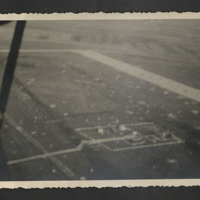
Udine airfield
Tags: aerial photograph; control tower; RAF Udine
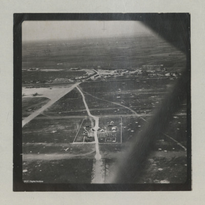
Udine Signal Square and Control Tower
In the background, the 'caserma avieri', the 'Voisin' hangars, the main road, and the…
Tags: aerial photograph; C-47; control tower; hangar; RAF Udine; taxiway
Westkapelle
Tags: aerial photograph; bombing
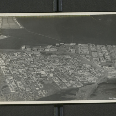
Djibouti
Tags: aerial photograph
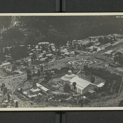
St. George Cathedral and surroundings
On the reverse 'Adis Abbaba [sic] (Abyssinia)'.
Tags: aerial photograph
Sangatte and course photograph
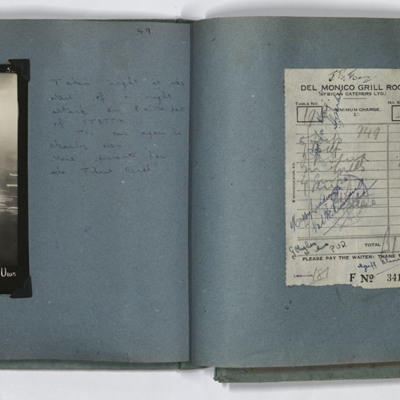
Target photograph and receipt
TIs can…
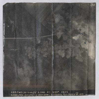
Cahagnes
Cahagnes
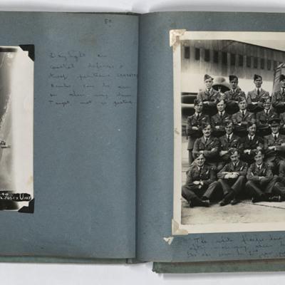
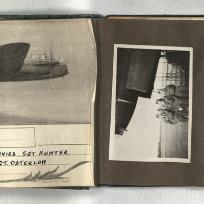
Aiming point certificate, aircrew and Manchester
Tags: 61 Squadron; aerial photograph; aircrew; bombing; Lancaster; Manchester
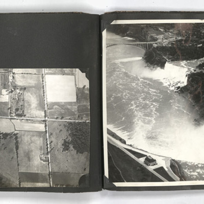
Niagara Falls
The photograph on the right page shows an aerial view of Niagara Falls.
Tags: aerial photograph
Aerial views
The photograph on the right of the left page shows an aerial view of the countryside.
Tags: aerial photograph
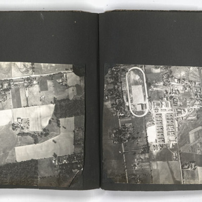
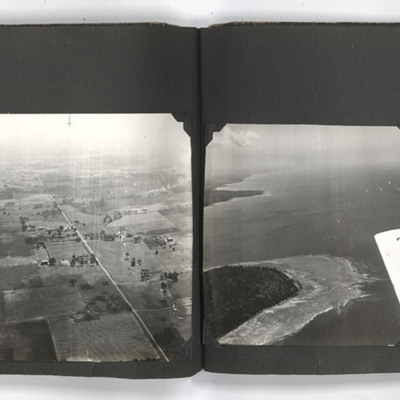
Ontario views
The photograph on the right of the left page shows an aerial view of the…
Tags: aerial photograph; training
Aerial view of a settlement
Tags: aerial photograph
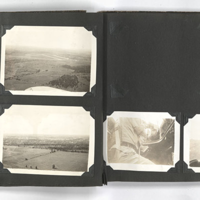
Ontario views
The photograph on the top right of the left page shows an aerial view of Picton airfield with a runway in the background. A wing of an aircraft can be…
Tags: aerial photograph; perimeter track; runway
Willibrordi-Dom, Wesel
Tags: aerial photograph; bombing; Cook’s tour
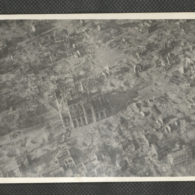
Grabeskirche Liebfrauen, Dortmund
Identification kindly provided by…
Tags: aerial photograph; bombing; Cook’s tour
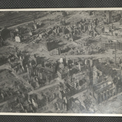
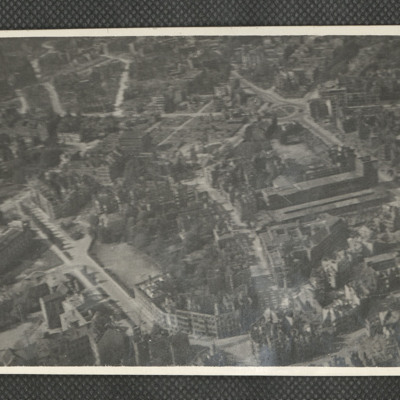
Brunswick
Tags: aerial photograph; bombing; Cook’s tour
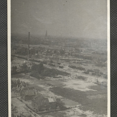
Rheine
Tags: aerial photograph; bombing; Cook’s tour
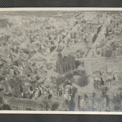
Christuskirche Hanover
Tags: aerial photograph; bombing; Cook’s tour

