Browse Items (1459 total)

  • Tags: aerial photograph

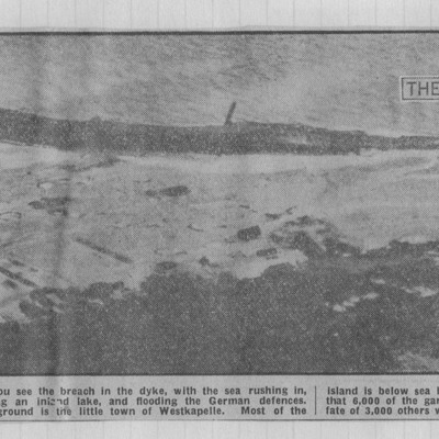
NWeedenRC170409-040005.jpg
Photograph of shoreline with 'breach' indicated by arrow and shows flooded area. Text explains that the photograph shows breach in dyke with sea rushing in. Germans report 6000 of garrison trapped by floods.

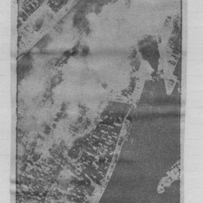
NWeedenRC170409-030004.jpg
Article includes target photograph of dock area with smoke and explanatory text - Round the area of the Bassin du Commerce at Le Havre, explains level of damage assessed.

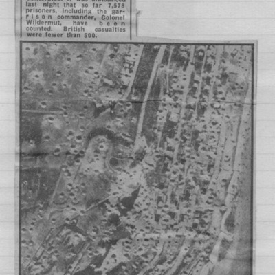
NWeedenRC170409-030002.jpg
Reconnaissance photograph showing cratered landscape with caption explaining that this was part of fortress area of Le Havre after the RAF's 5,000 ton daylight attack.

NWeedenRC170409-010005.jpg
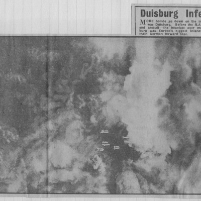
Target photographs with clouds and smoke with falling bombs in centre. Text below describes twin attacks on Duisburg which ended the life of Germany's greatest inland port.

NWeedenRC170409-010004.jpg
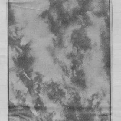
Target photograph of city visible between breaks in cloud and smoke. Falling bombs visible bottom centre. Captioned 'More bombs go down in inferno that was Duisburg'.

NWeedenRC170409-010003.jpg
Target photograph of a city visible through breaks in cloud and smoke. Captioned 'vast smoke cloud trails away with wind from blazing Duisburg during the RAFs 10000 - ton week-end assault'.

PJonesJT17050015.jpg
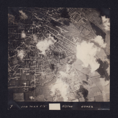
An aerial vertical photograph of Lincoln, England. Annotated 9 Job 3423 F/5 5/7/44 Jones. Sparse cloud cover. North is towards the bottom of the picture. The centre of the city is to the left of the photograph, showing residential areas. To the top…

PProbynEA1702.jpg
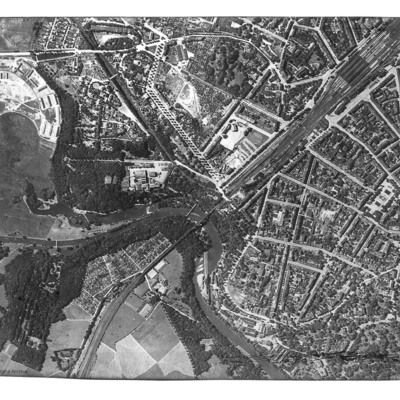
Reconnaissance photograph of Görlitz. In the centre is the Neisse Viaduct railway crossing the Neisse River. The main railway station is to the right, with St Jakobus Cathedral just above and to its left. Tree-lined boulevards are also well…

PProbynEA17010028.jpg
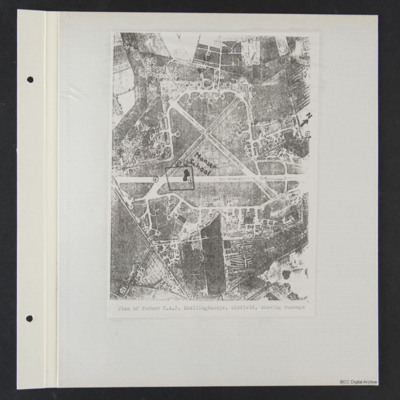
A vertical aerial photograph of the airfield with annotated north, numbers 1 to 13, Manser School and a rough square. It is captioned 'Plan of former RAF Skellingthorpe airfield, showing runways'.

PProbynEA17010012.jpg
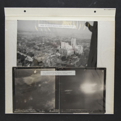
Three photos from an album.
Photo 1 is a low level oblique aerial photo of Lincoln Cathedral, captioned 'Photo of Lincoln Minster taken from rear turret'.
Photo 2 is a vertical aerial photograph of Royan during a bombing operation. The coastline is…

PProbynEA17010011.jpg
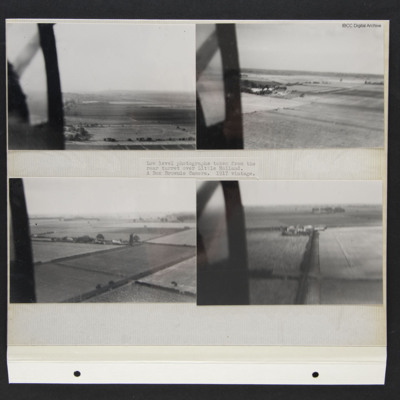
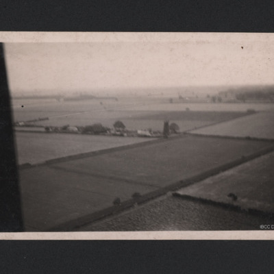
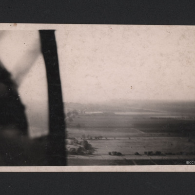
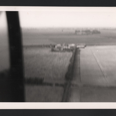
Four low level aerial oblique photographs of farmland. They are captioned 'Low level photographs taken from the rear turret over Little Holland. A Box Brownie Camera. 1917 vintage.'

PProbynEA17010010.jpg
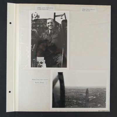
Photo 1 is Jack at his station, captioned 'F/Sgt Jack Cottingham. Flight Engineer'.
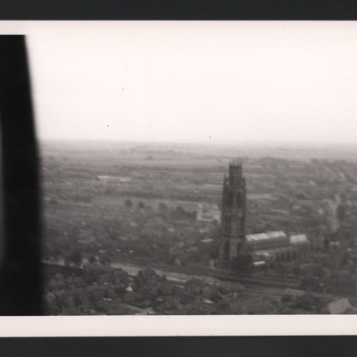
Photo 2 is a low level oblique of St Botolph's Church, captioned 'Taken from the rear turret. Boston Stump'.
A third photo, captioned F/Sgt Ernie Probyn. Rear…

PProbynEA17010009.jpg
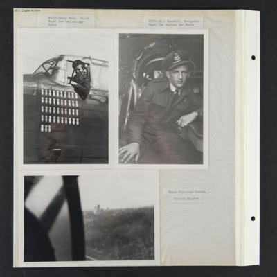
Three photograph from an album.
Photo 1 is Pilot Danny Boon leaning out of his cockpit. 43 operations are painted on the nose. It is captioned 'Fl/Lt Danny Boon, Royal New Zealand Air Force'.
Photo 2 is Bill seated at his station, captioned 'F/Off…

PProbynEA17010059-00150001.jpg
A oblique aerial photograph taken at low level. Fields and hedgerows are visible with some buildings to the centre including a tall structure described on reverse of photograph as "German Flak Tower, Holland." Part of the aircraft canopy is seen on…

PProbynEA17010059-00130001.jpg
A low level aerial oblique photograph with very little detail. On the reverse 'German Airfield, Holland'.

PProbynEA17010059-0021.jpg
A low level aerial oblique photograph of Boston St Botolph's Church, universally known as the Boston Stump.

PProbynEA17010059-0009.jpg
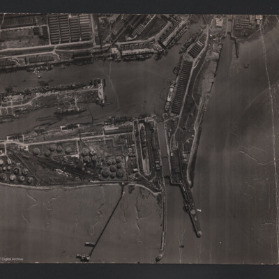
An aerial vertical photograph of Avonmouth docks. To the bottom of the photograph is the Bristol Channel, stretching up to the right of the photo. Three jetties protrude into the channel. Two tidal locks can be seen, one in the centre and one to the…

PProbynEA17010059-0002.jpg
An oblique aerial photograph of a farmhouse taken at low level.

P78Sqn1723.jpg
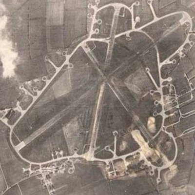
Reconnaissance photograph of an airfield with three runways, perimeter track, dispersals and buildings. Submitted with caption 'Aerial view of wartime RAF Breighton'.

This item was sent to the IBCC Digital Archive already in digital form. No…

P78Sqn1710.jpg
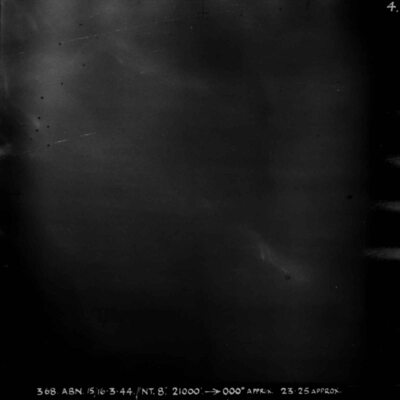
Almost entirely black target photograph. Captioned '368 ABN 15/16-3-44//NT 8", 21000, 000degrees APPRX, 2325 APPROX, STUTTGART R, 5x30, 5x4 INC 32 SECS, W/CR LAWRENCE M 78 SQN'.

P78Sqn17080004.jpg
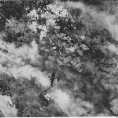
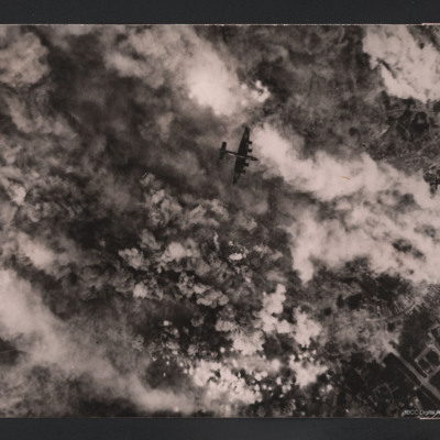
Target photograph showing bomb explosions and smoke. Just below the centre a Halifax flying below from right to left. Parts of town are visible on the left. Two versions of the same image. This is a reverse image of related item.

This item was…
P78Sqn17070004.jpg
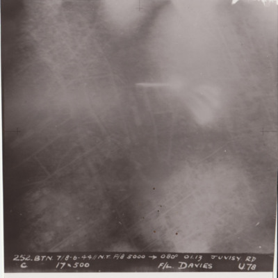
Target photograph shows glare and explosions. Built up area roads are faintly visible. Captioned '252.BTN 7/8-6-44//NT F/8, 5000, 080 degrees, 01.13, JUVISY RD, C, 19x500, F/L DAVIES, U78'. Submitted in folder titled 'U-Uncle Target Images'.

P78Sqn17030032.jpg
Target photograph showing bomb explosions and smoke. Just above the centre a Halifax flying below from left to right. Parts of town are visible on the right. On the reverse 'Over Noyelle-en-Chaussée 24 June 1944, Handley Page Halifax III, British…

P78Sqn17020007.jpg
Target photograph showing tracer and glare. On the reverse 'Ball bearing factory Schweinfurt, very heavy AA fire. Fought off fighters'.
Output Formats

atom, dc-rdf, dcmes-xml, json, omeka-xml, rss2