Browse Items (754 total)

  • Tags: target photograph

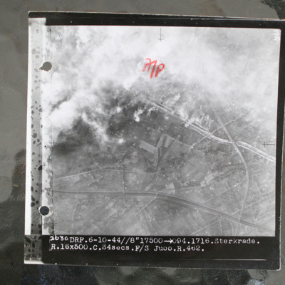
SWeirG19660703v110004-0012.jpg
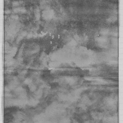
Target photograph showing built up area in top half with road and railway running left to right. Smoke from bomb explosions top left. Captioned '2630 DRF.6-10-44//8"17500 >094.1716.Sterkrade. R.16x500.C.34 secs.F/S Jubb.R.462.'.

This item was sent…

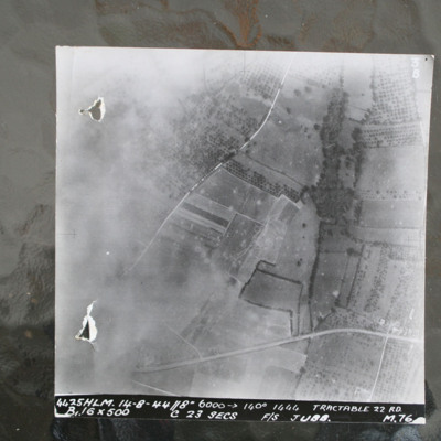
SWeirG19660703v110004-0011.jpg
Image shows open countryside with Route National 158 between Caen and Falaise. Captioned '4425HLM.14-8-44//8" 6000 >140 degrees 1444 Tractable 22 RD, B16x500 c 23 secs F/S Jubb M76'.

Identification kindly provided by Ray Moroney of the Finding the…

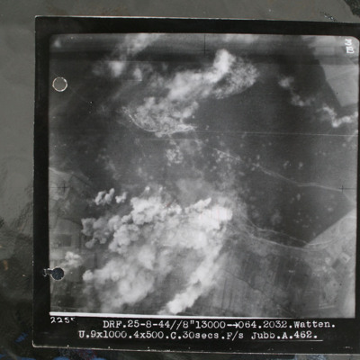
SWeirG19660703v110004-0010.jpg
Target photograph showing forest area in top half with smoke from bomb explosions. Many craters are visible in this wooded area. Cleared area where tracks converge in this wooded area top centre, just edged by clouds. Bunker itself is just below and…

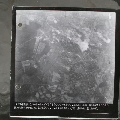
SWeirG19660703v110004-0009.jpg
Target photograph showing built up area top right with smoke from bomb explosions. Captioned '2391.DRF.13-9-44//8" 17000.1831.Gelsenkirchen.Nordstern.R.16x500.C.34secs.F/S Jubb.462'.

This item was sent to the IBCC Digital Archive already in…

SWeirG19660703v110004-0008.jpg
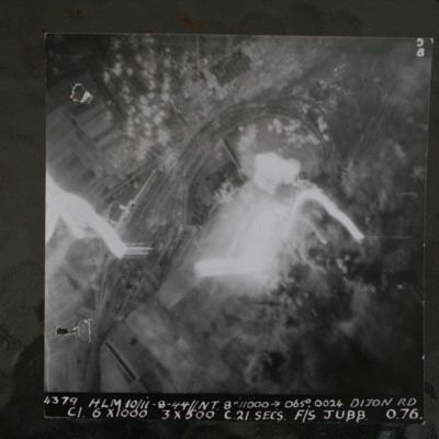
Night target photograph showing railway with marshalling yard, glare in centre and tracer. captioned '4379.HLM 10/11-8-44//NT 8" 11000 >065degrees.0024. Dijon RD.C1 6x1000 3x500 C 21 secs F/S Jubb 0 76'.

This item was sent to the IBCC Digital…

SWeirG19660703v110004-0007.jpg
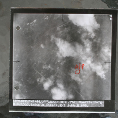
Target photograph showing airfield with smoke from bomb explosions. Aiming pint in annotated in red ink. Captioned 'DRF.3-9-44//7"18000 >120.1731.Soersterberg.R.9x1000.4x500.C.34secs.F/S Jubb.R.462'.

This item was sent to the IBCC Digital Archive…

SWeirG19660703v110004-0006.jpg
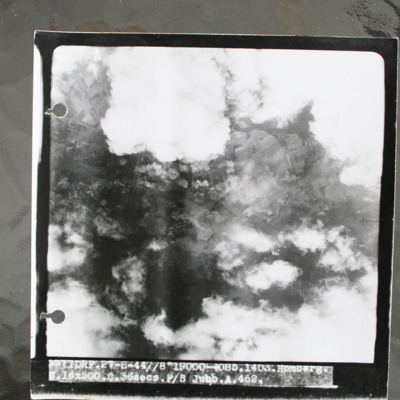
Target photograph showing clouds and smoke from bomb explosions. Captioned 'DRF.27-8-44//8"19000 >085.1403.Homberg.16x500.C.36secs Jubb.A.462'.

This item was sent to the IBCC Digital Archive already in digital form. No better quality copies are…

SWeirG19660703v110004-0005.jpg
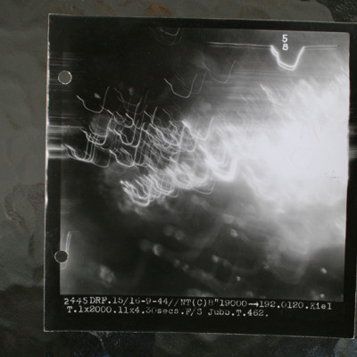
Night target photograph showing glare and anti-aircraft tracer. Captioned 'DRF.15/16-9-44//NT(C) 8"19000 >192.0120.Kiel.1x2000.11x4.30secs.F/S Jubb.T.462'.

This item was sent to the IBCC Digital Archive already in digital form. No better quality…

SWeirG19660703v110004-0004.jpg
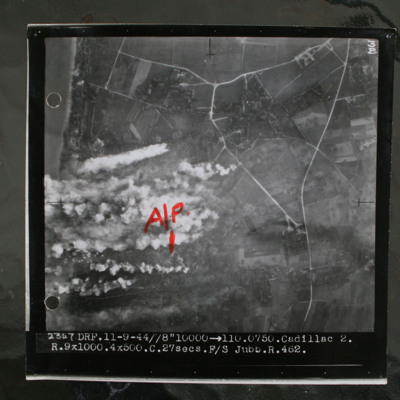
Target photograph showing coastline to top left and rural area behind with several villages and connecting roads. Annotated with "A/P" aiming point in red ink. Obscured by target markers and smoke. Captioned '3B 2347 DRF.11-9.44//8" 10000 >110.0750.…

SWeirG19660703v110004-0003.jpg
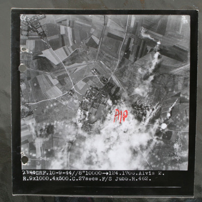
Target photograph of rural area with villages visible top left and centre with connecting roads and tracks. Annotated with "A/P" aiming point in red ink to right of centre which is obscured by smoke and target marker flares. Tank ditch zig zags…

SWeirG19660703v110004-0002.jpg
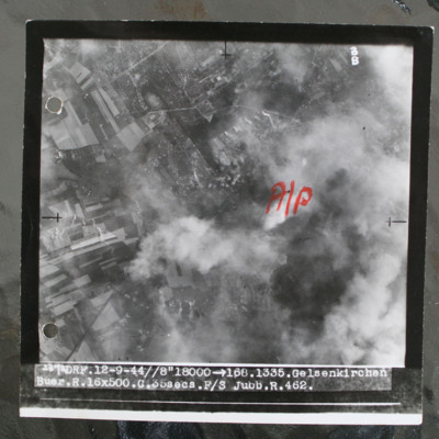
Target photograph show bombs on built up area. Annotated with aiming pot in red ink. Captioned 'DRF.12-9-44//8" > 168.1335. Gelsenkirchen. Buer.R.16x500.C.35secs.F/ Jubb.R.462'. Note: this was an attack on the synthetic oil plant at Scholven/Buer…

SWeirG19660703v110004-0001.jpg
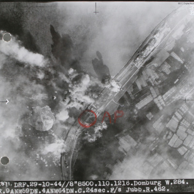
Target photograph of sea wall with sea on left and land on right. Many bomb explosions visible. Annotated with aiming point in red ink. Captioned '2871 DRF 29-10-44//8"8,500. 110.1216. Domburg W.284, R.9 ANM59DN.4AMN64DN.C.24sec.F/S Jubb.R.462'.…

SWeirG19660703v100001-0007.jpg
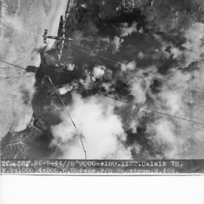
Target photograph of coastline and Batterie Oldenburg and Batterie Waldam. Port of Calais is just to bottom of the photograph Bomb explosions, smoke and target markers obscure the target. The beach is visible with many obstructions. Two Halifax III…

SWeirG19660703v100001-0006.jpg
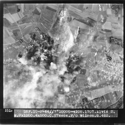
Target photograph of bombs exploding and obscuring target. Many bomb craters on the right side of image. Captioned 'DRF 10.9.44//7" 10000 > 108.1707.Alvis 2, M.9x1000.4x500.C. 27 secs. F/O Wilson G.462'.

This item was sent to the IBCC Digital…

NWeedenRC170409-030004.jpg
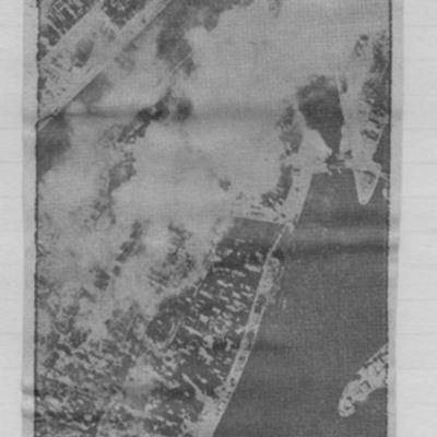
Article includes target photograph of dock area with smoke and explanatory text - Round the area of the Bassin du Commerce at Le Havre, explains level of damage assessed.

NWeedenRC170409-010005.jpg
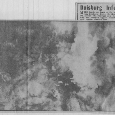
Target photographs with clouds and smoke with falling bombs in centre. Text below describes twin attacks on Duisburg which ended the life of Germany's greatest inland port.

NWeedenRC170409-010004.jpg
Target photograph of city visible between breaks in cloud and smoke. Falling bombs visible bottom centre. Captioned 'More bombs go down in inferno that was Duisburg'.

NWeedenRC170409-010003.jpg
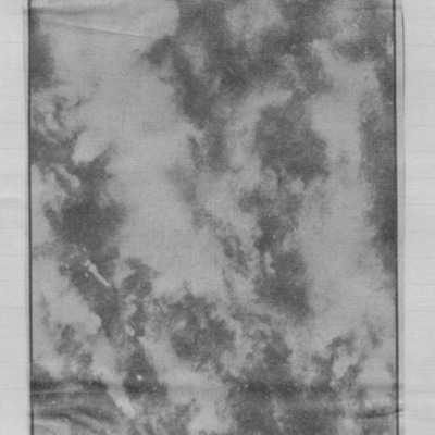
Target photograph of a city visible through breaks in cloud and smoke. Captioned 'vast smoke cloud trails away with wind from blazing Duisburg during the RAFs 10000 - ton week-end assault'.

PProbynEA17010012.jpg
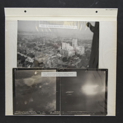
Three photos from an album.
Photo 1 is a low level oblique aerial photo of Lincoln Cathedral, captioned 'Photo of Lincoln Minster taken from rear turret'.
Photo 2 is a vertical aerial photograph of Royan during a bombing operation. The coastline is…

P78Sqn1710.jpg
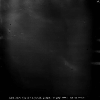
Almost entirely black target photograph. Captioned '368 ABN 15/16-3-44//NT 8", 21000, 000degrees APPRX, 2325 APPROX, STUTTGART R, 5x30, 5x4 INC 32 SECS, W/CR LAWRENCE M 78 SQN'.

P78Sqn17080004.jpg
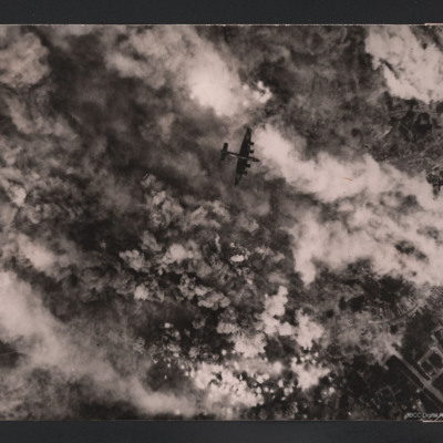
Target photograph showing bomb explosions and smoke. Just below the centre a Halifax flying below from right to left. Parts of town are visible on the left. Two versions of the same image. This is a reverse image of related item.

This item was…
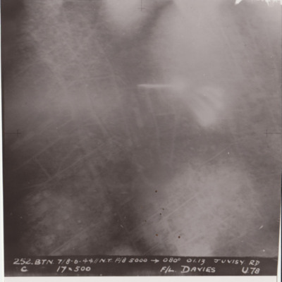
P78Sqn17070004.jpg
Target photograph shows glare and explosions. Built up area roads are faintly visible. Captioned '252.BTN 7/8-6-44//NT F/8, 5000, 080 degrees, 01.13, JUVISY RD, C, 19x500, F/L DAVIES, U78'. Submitted in folder titled 'U-Uncle Target Images'.

P78Sqn17030032.jpg
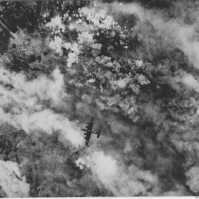
Target photograph showing bomb explosions and smoke. Just above the centre a Halifax flying below from left to right. Parts of town are visible on the right. On the reverse 'Over Noyelle-en-Chaussée 24 June 1944, Handley Page Halifax III, British…
Output Formats

atom, dc-rdf, dcmes-xml, json, omeka-xml, rss2