Browse Items (4471 total)
- Tags: bombing
Bocholt
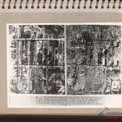
Zeitz Braunkohle-Benzin synthetic oil plant
Aerial photograph with a Lancaster
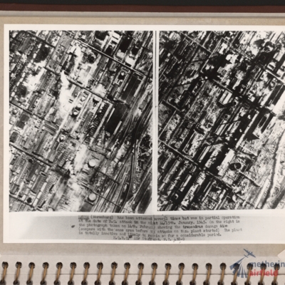
Leuna synthetic oil plant
Wesel Bomb damage
Tags: aerial photograph; bombing; Cook’s tour
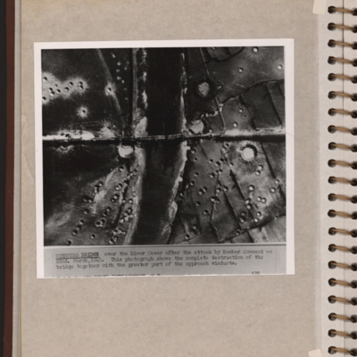
Nienburg Bridge after attack by 617 Sqn with Tallboys and Grand Slams
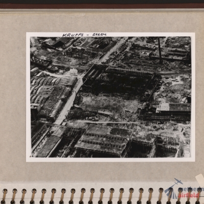
Krupps, Essen
Tags: aerial photograph; bombing
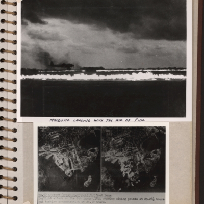
Mosquito landing and target photographs
Bottom - side by side target photographs of port area showing aiming…
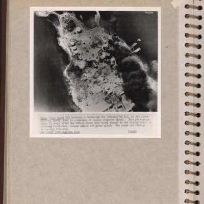
Vallo-Taneberg oil refinery
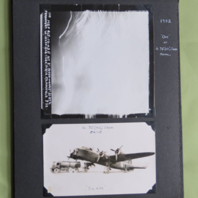
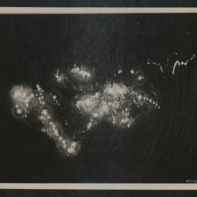
Frankfurt and a Stirling
Photo 1 is a vertical aerial photograph taken over Frankfurt. All the detail is obscured by light and anti-aircraft fire. It is annotated '110 Mep 4/5.10.43//NT 8" 16000 --> 045° . 21.37 ½. Frankfurt. W. 10x30: 8…
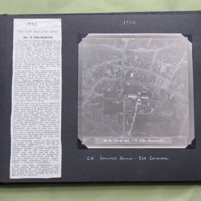
75 Squadron News Story
Item 1 is a newspaper cutting about 75 Squadron, dated 1943.
Item 2 is a vertical aerial photograph taken during a training exercise, annotated ' C.1. N.U. 10-3-45 F7" F/Lt Guinane' and captioned ' "G.H." Simulated…
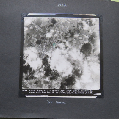
Bad Oldesloe
Interview with Janet Denny
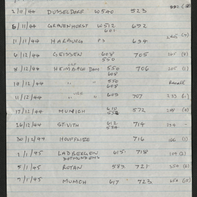
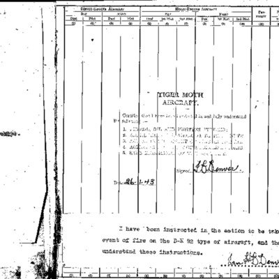
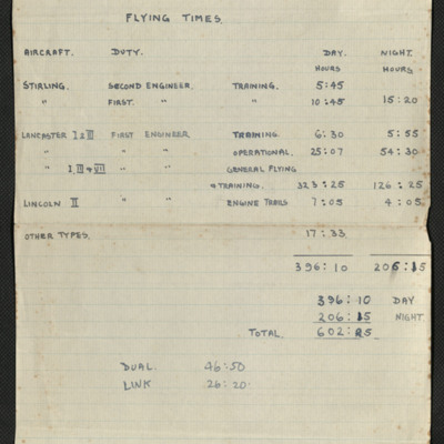
Extracts from Ian Denver's log book
Tags: 156 Squadron; 1667 HCU; 18 OTU; 625 Squadron; Advanced Flying Unit; bombing; bombing of Dresden (13 - 15 February 1945); Cook’s tour; Flying Training School; Heavy Conversion Unit; Lancaster; Lancaster Finishing School; Normandy campaign (6 June – 21 August 1944); Operation Exodus (1945); Operation Manna (29 Apr – 8 May 1945); Operational Training Unit; Oxford; Pathfinders; RAF Hemswell; RAF Kelstern; RAF Lindholme; RAF Sandtoft; RAF Warboys; Tiger Moth; training
Night bombing
Tags: anti-aircraft fire; bombing
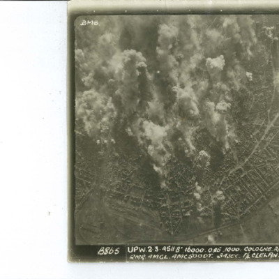
Day bombing Cologne
Identification kindly provided by Frank Doerschner of the Finding the location WW1 & WW2 Facebook Group.
Letter from Bill Lord to his Sister
Tags: aircrew; bombing; propaganda; RAF Woodhall Spa
John McCredie's Air Forces India pilot's flying log book
John Robert Watson’s observer’s and air gunner’s flying log book
Tags: 12 Squadron; 156 Squadron; 1667 HCU; 85 OTU; aircrew; bombing; bombing of Nuremberg (30 / 31 March 1944); bombing of the Normandy coastal batteries (5/6 June 1944); flight engineer; Halifax; Halifax Mk 5; Heavy Conversion Unit; Lancaster; Lancaster Mk 1; Lancaster Mk 3; Me 410; Normandy campaign (6 June – 21 August 1944); Operational Training Unit; Oxford; Pathfinders; RAF Faldingworth; RAF Husbands Bosworth; RAF Upwood; RAF Warboys; RAF Wickenby; tactical support for Normandy troops; training; V-1; V-weapon; Wellington
Cologne
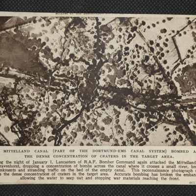
Mittelland Canal
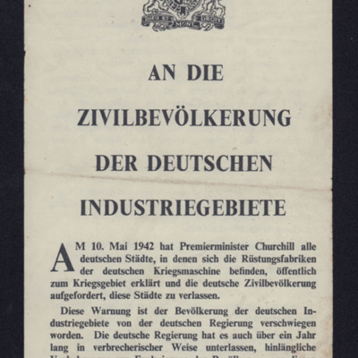
An die Zivilbevölkerung der deutschen Industriegebiete
Tags: bombing; propaganda
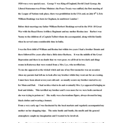
Eric Hookings's life story book 1
Tags: 6 BFTS; 619 Squadron; aircrew; Battle; bombing; British Flying Training School Program; crewing up; Flying Training School; Harvard; Initial Training Wing; Lancaster; love and romance; mine laying; Oxford; pilot; RAF Bruntingthorpe; RAF Heaton Park; RAF Newton; RAF Scampton; RAF South Cerney; RAF Strubby; RAF Uxbridge; Stearman; Stirling; training; Wellington


![ELordWCJBennettLR[Date]-020001.jpg ELordWCJBennettLR[Date]-020001.jpg](https://ibccdigitalarchive.lincoln.ac.uk/omeka/files/square_thumbnails/933/31437/ELordWCJBennettLR[Date]-020001.jpg)
