Browse Items (4469 total)

  • Tags: bombing

PFordTA17030011.jpg
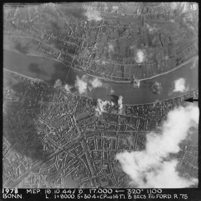
A vertical aerial photograph of Bonn during an operation. The river Rhine is seen through the centre of the image. There are bomb explosions along the river with some cloud and shadow nearby. The majority is very clear, detailing the Kennedy bridge…

PFordTA17030010.jpg
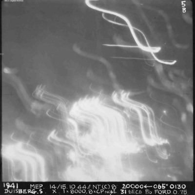
A vertical aerial photograph of Duisberg taken during a night operation. The lower half of the image is obscured by anti-aircraft fire. The top half has no clear detail. annotated '1941 MEP 14/15.10.44// NT (C) 8” 20000 [arrow] 065[degrees] 0130…

PFordTA17030009.jpg
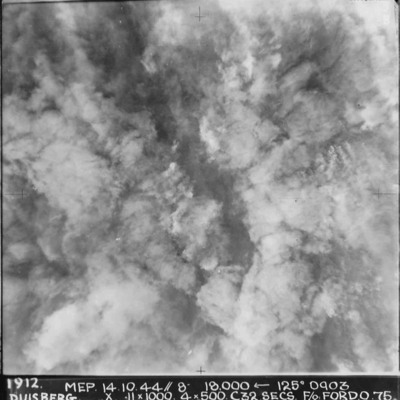
A vertical aerial photograph taken during the bombing of Duisberg. The entire image is obscured by explosions and smoke. Annotated '1912 MEP 14.10.44// 8” 18000 [arrow] 125[degrees] 0903 DUISBERG. X 11 x 1000. 4x500. C32 SECS. F/O FORD. O.75'.

PFordTA17030008.jpg
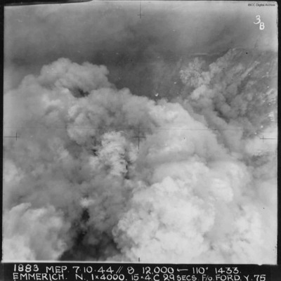
A vertical aerial photograph of Emmerich during an operation.The ground detail is obscured by explosions but the Rhine is visible at the top of the image. Annotated '1883 MEP 7.10.44// 8 12,000 [arrow] 110[degrees] 1433 EMMERICH. N. 1 x 4000. 15x4.C…

PFordTA17030007.jpg
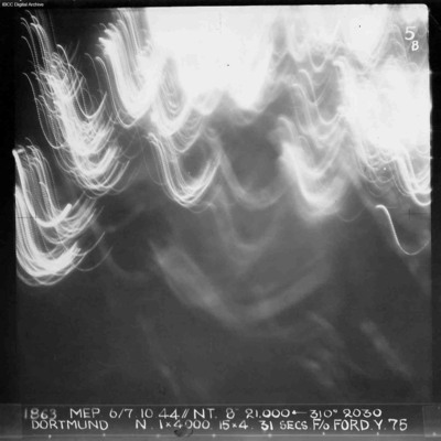
A vertical aerial photograph of Dortmund during an operation at night. No detail on the ground is visible and half the image is obscured by anti-aircraft fire. Annotated '1863 MEP 6/7.10.44// NT. 8” 21,000 [arrow] 310[degrees] 2030 DORTMUND. N. 1…

PFordTA17030006.jpg
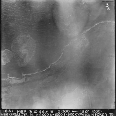
A vertical aerial photograph of the Westkapelle Dyke, Vlissingen. The coastline can be seen but little on the ground. annotated '1831 MEP 3.10.44// 8” 5,000 [arrow] 158[degrees] 1355. WEST CAPELLE DYK. N. 1 x 4000. 6x1000. 1x500.C 20 SECS. F/O…

PFordTA17030005.jpg
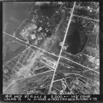
A vertical aerial photograph of Calais. The canal, Canal des Pierrettes, is visible and runs left to right, parallel to Rue Hoche and a marshalling yard. The yard services Les Fontinettes train station. Annotated '1810 MEP 27.9.44// 8” 5,500…

PFordTA17030004.jpg
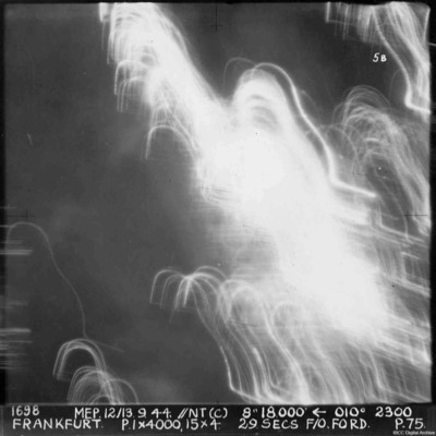
A vertical aerial photograph of Frankfurt. The image was taken at night and half is obscured by anti-aircraft fire. Almost nothing can be seen on the ground. annotated '1698 MEP 12/13.9.44// NT (C) 8” 18,500 [arrow] 010[degrees] 2300. FRANKFURT. P…

PFordTA17030003.jpg
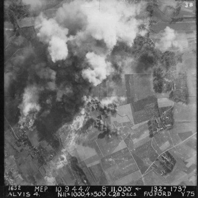
Vertical aerial photograph of Alvis, at Montvilliers, Le Havre. The centre section of the image is obscured by explosions. Annotated '1652 MEP 10/13.9.44// 8” 11,000 [arrow] 132[degrees] 1737 ALVIS 4. N.11x1000, 4x500 C.28 SECS. F/O FORD. Y.75'.

PWalkerS17010008.jpg
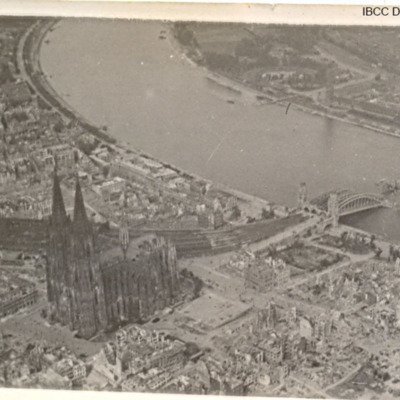
Three photographs of Cologne Cathedral and damaged bridge over the Rhine.

PWalkerS17010011.jpg
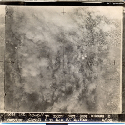
Most of target obscured by smoke and dust. Captioned '6014 PCK 2-3-45// 7" 20000' 095t 1009 COLOGNE Z 8MC500DT 8GP250IT C 33 Secs F/O McVICAR A/102

LHarrisonJC1590954v1.pdf
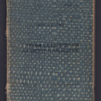
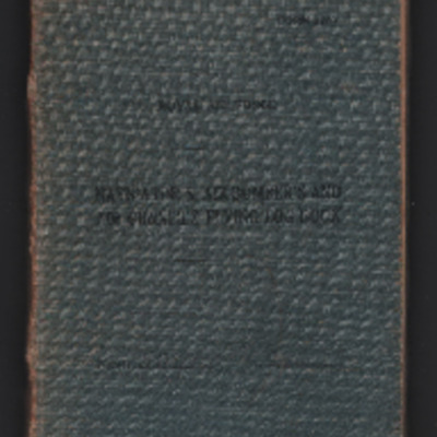
Navigator’s, air gunner’s and air bomber’s flying log book for J C Harrison, air gunner, covering the period from 19 June 1943 to 19 February 1944 when he failed to return from operations. Detailing his flying training and operations flown. He…

PFordTA17030002.jpg
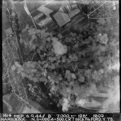
Vertical aerial photograph of Harqueboc, Le Havre. Street patterns can be seen to the left and top right of the photograph, located north-west of Harfleur. Annotated '1614 MEP 6.9.44// 8” 7,000 [arrow] 128[degrees] 1802 HARQUEBEC. N.11x1000, 4x500…

PFordTA17030001.jpg
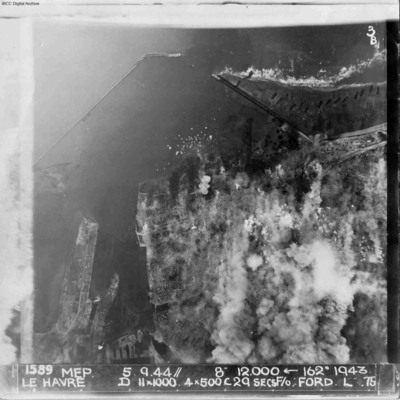
A vertical aerial photograph of Le Havre during bombing operations. The land is mainly obscured by explosions but breakwaters and docks are visible. Digue Augustin Normand is shown at the top of the image, with Bassin de la Manche and Le Havre port…

PWalkerS17010016.jpg
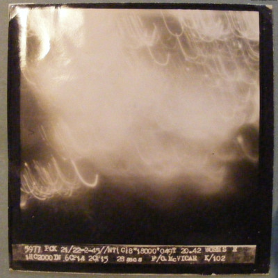
Target completely obscured by markers/cloud. Captioned '5977 PCK 21/22-2-45 //NT(C)8" 18000' 049T 20.42 WORMS R 1HC2000DN 6CP14 2CP15 26 secs F/O McVICAR K/102'.

MFordTA1585520-170411-030001.jpg
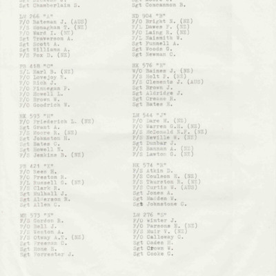
A list of the 21 aircraft and crews that took part in the operation to bomb Westkapelle Dyke.
A second two page list is a draft of the first document, with handwritten annotations.

LFordTA1585520v1.pdf
Flying Officer T.A. Ford’s RCAF Pilot’s Flying Log Book, from 11th July 1942 to 27th August 1950, detailing his training in Great Britain and Canada and operations as a pilot and flying instructor. Also includes post-war duties with Transport…

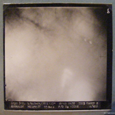
PWalkerS17010019.jpg
Target completely obscured by smoke/dust/cloud. Captioned '6028 PCK 3/4-3-45//NT(C)7" 20000 063T 2303 KAMEN Z 8M0500DT 8GT250IT 33Secs F/O McVICAR A/102'

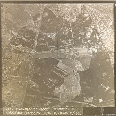
PWalkerS17010026.jpg
A target aerial photograph of Nürnberg-Langwasser, adjacent to Moorenbrunn, Nuremberg. Bomb craters are visible throughout.

Captioned 'PCK. 11-4-45//7" 16000' NURNBURG. M. 10ANM64IN 6MO500DT. F/O McVICAR. E/102.'

PWalkerS17010027.jpg
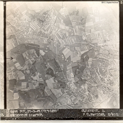
A target aerial photograph of Osnabruck with numerous bomb craters visible.
Captioned '6195 PCK. 25-3.45//8" 16200' OSNABRUCK. Q. 1HC2000IN 11X15CP. F/O McVICAR. X/102

PWalkerS17010061.jpg
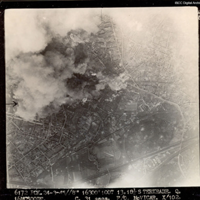
Target partially obscured by cloud and dust. Captioned '6172 PCK 24-3-45 //8" 16300 100T 13 181/2 STERKRADE Q [?] C 31secs F/O McVICAR. X 102'.

MTurnhamK1850743-151002-01.pdf
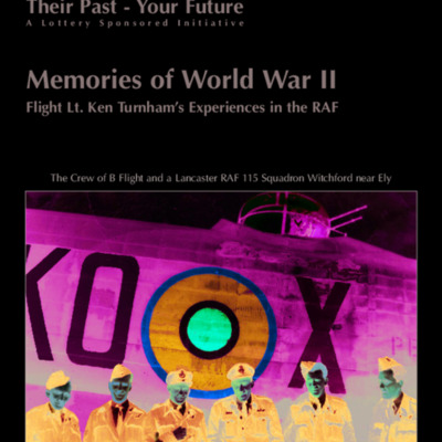
Booklet produced as part of 'Their Past Your Future's series produced for the Heritage Lottery. This is based on Ken's memories of his training for and operations with Bomber Command and his post war service in the Royal Air Force, as described to a…

LGouldAG1605203v1.pdf
Navigator’s, air bomber’s and air gunner’s flying log book for A G Gould, flight engineer, covering the period from 30 July 1943 to 13 April 1945. Detailing his flying training and operations flown. He was stationed at RAF Stradishall, RAF…
Output Formats

atom, dc-rdf, dcmes-xml, json, omeka-xml, rss2