Browse Items (1442 total)

  • Tags: aerial photograph

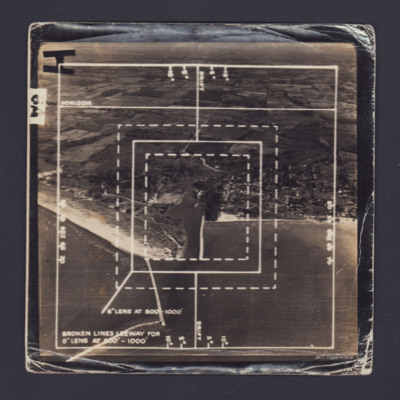
POldmanDA1805.jpg
Two oblique aerial photographs with fields of view marked for 8" lens. #1 The image shows the coastline of Port Burwell, Ontario, Canada. #2 has similar marks but less annotation and shows fields. On the reverse of both 'On loan P&R Darby…

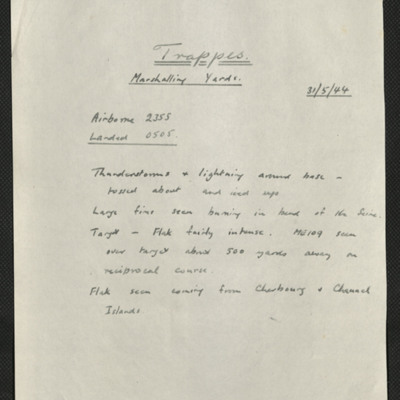
SKingEJ182986v10061.jpg
Six items, Edward's description of the operation to the railway centre, commenting on the thunderstorms encountered, his navigation plot, the expected H2S plot of the target with their track marked, a press cutting captioned 'Wrecked locomotives at…

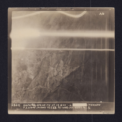
PPowellNI19030008.jpg
Vertical aerial target photograph of Trento. Some ground details, mainly roads, are visible as is open countryside. In the upper part are several light trails from ordnance. It is captioned:
2829 104/90. 8/9-APR-45. F8". NT.//9,500'.→[redacted]…

PPowellNI19030016.jpg
Vertical aerial target photograph of Trento. The image shows open countryside but most ground details are obscurred by cloud or smoke. Some roads and buildings are visible.
The photograph is captioned:
2789 104/86 2/3 APR 45. F8 N.T.//9.500'…

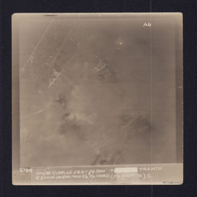
SPowellNI1896919v10002-0007.jpg
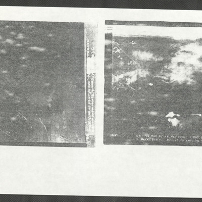
Two poor quality copies of target photographs. The left image has no discernible detail and is captioned:
2789 104/86 2/3 APR 45. F8 N.T.//9.500' →[redacted] TRENTO.
E. 2x1000. 10x500 MkIII 23. F/O WARD. (F/O SCOTT B/A) S.

The right image…

PDarbyCAH18010005.jpg
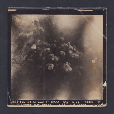
A vertical aerial photograph taken during a bombing operation at Trier. Some industrial buildings can be seen on the left. Details in the central area are obscured by smoke from explosions. The photograph is captioned:'1659 SDL 23.12.44 // 7" 17500…

PDarbyCAH18010013.jpg
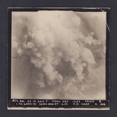
A vertical aerial photograph taken during a bombing operation at Trier. Much of the detail is obscured by bomb explosions but in the bottom right corner are fields and roads.

It is captioned :
'1654 SDL 23.12.44 // 7" 17000 097 1433 Trier B
1…

PPowellNI19010040.jpg
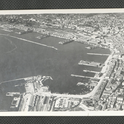
A clear oblique aerial photograph of Trieste ports, orientated with the NE at the upper edge. In the upper part of the photograph are the railway marshalling yard and quays of Porto Vecchio, together with the long breakwater. In the right hand area…

POpenshawB1805-0007.jpg
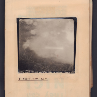
Target photograph showing streets on left side with clouds/bomb explosions centre and right side. Captioned 'P4' and '2004, 104/15, 15/16 Oct 44, F8, NT 7000 ft→ 093 degrees, 1931, Trieste M/Y'. Annotated on page 'Q - Queenie, 9x500, 9x250'.

POpenshawB1805-0003.jpg
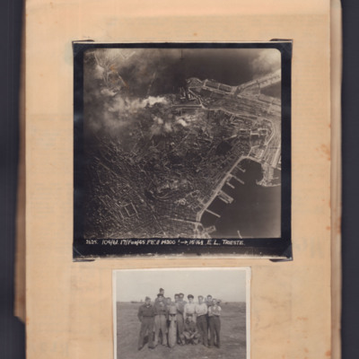
Top - target photograph of a large port city with land to the left side and port with piers bottom right. Bomb explosions top centre. Captioned '2625 104/61, 17 Feb 45, F8, 14200ft→ , 15.16 1/2. E.L. Trieste'.

Bottom - eleven airmen round a…

PBirdJH18010012.jpg
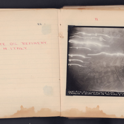
Target photograph taken on an operation to Trieste of the Zaule area, with the Gaslini works and the railway lines. The roads and field pattern are clearly visible.
The photograph is annotated 'A4' and is captioned:
'1637 FOG. 26/27 JUNE 44 // N.T…

PClarkD1506.jpg
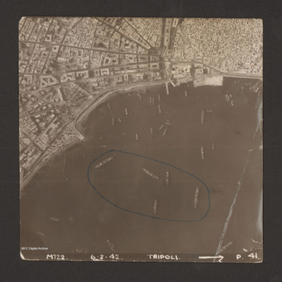
Reconnaissance photograph of harbour area. There are many ships, some of them identified as Anna Maria, Ariosto, Atlas, Bengasi, Beppe, Bosforo, Delia, and Pisani. Five ships have been enclosed by blue line. There is a breakwater along right side.…

PClarkD1504.jpg
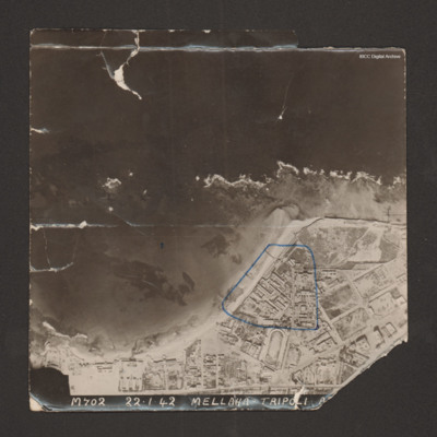
Reconnaissance photograph with a shoreline running from bottom left to middle right with sea at top and land below. Buildings cover the land; military storehouses near Via Cannizzaro e Via Giuseppe Colombo are outlined in blue. Captioned 'M702…

PHouriganM18010033.jpg
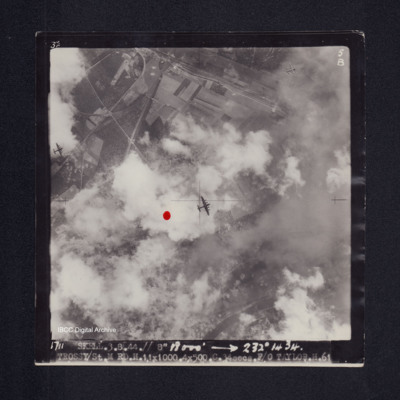
Target photograph of Trossy St Maximin. Red dot left of centre. Three Lancasters flying below. River Oise bottom right. Partially obscured by cloud smoke and dust but bomb explosions, bomb craters roads and field patterns visible. Captioned '3°F',…

PToombsSE15100003.jpg
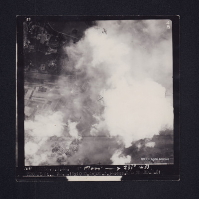
Vertical aerial photograph over Trossy St Maximin. The top and bottom sections are largely obscured by cloud and bomb explosions. Two Lancasters are visible, one directly below and one diving away in the bottom left corner of the…

PHouriganM18010009.jpg
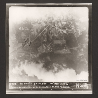
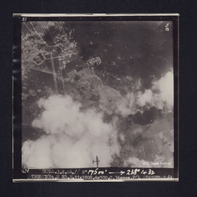
Target photograph of Trossy St Maximin. Majority of photograph obscured by smoke and dust, in area not obscured roads, woods and field boundaries clearly visible. Two Lancasters flying below also visible. Captioned '3°F', '4B', '1681 SKELL.3.8.44.//…

PHouriganM18010011.jpg
Target photograph of Trossy St Maximin. Partially obscured by cloud, smoke and dust. Runway intersection and many bomb craters clearly visible. Also visible are bomb explosions, roads, woods, field boundaries and a Lancaster flying below. Captioned…

PHouriganM18030021.jpg
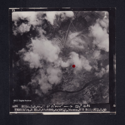
Target photograph of Trossy St Maximin. Both banks of the river Oise visible although partially obscured by smoke or cloud, red dot just right of centre. Very many craters. Captioned '3°F', '5B', '1652 SKELL.3.8.44// 8" 18000' [arrow] 230° 1432…

PHouriganM18030131.jpg
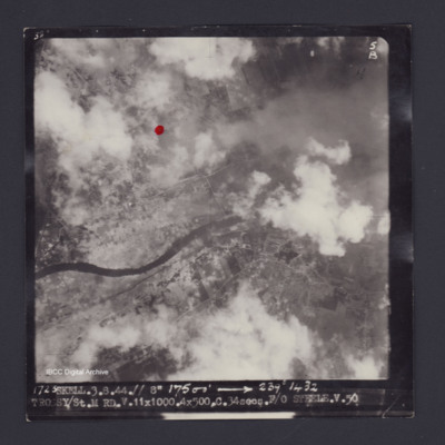
Target photograph of Trossy St Maximin. Red dot just left and higher than centre. Rural area, river Oise running across photograph, some smoke and dust, many craters. Captioned '3°F', '5B', '1723 SKELL.3.8.44.// 8" 17500' [arrow] 239° 1432…

POpenshawB1805-0026.jpg
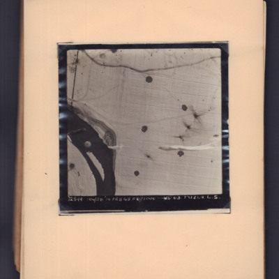
Target photograph showing snow-covered ground with a river middle left to bottom left. A parachute is visible over the river, and parachute shadows are visible on the open ground to the right. Captioned '2599, 104/58, 14 Feb 45, F8, 1000 ft,→…

PThompsonKG15010059.jpg
Article by Carl Ollson from the Illustrated magazine published on 25 March 1944. The article covers the preparations made by the station staff to prepare the aircraft and equipment for an operation. There is a large photograph of twenty Lancasters in…

PStimpsonMC19060011.jpg
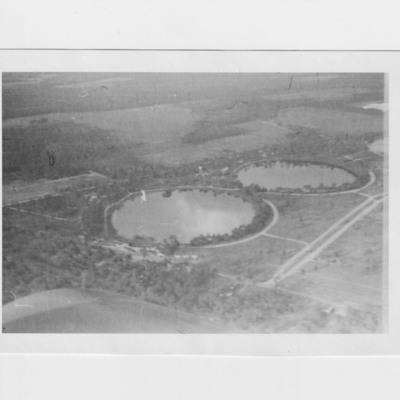
Two aerial views of the twin lakes at Valdosta, identified on the reverse

SKingEJ182986v10017.jpg
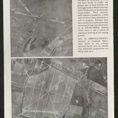
A press cutting captioned 'Retreat from the coast' taken in the summer of 1943 shows two coastal airfields Calaise/Marck and Abbeville/Drucat indicating that the Germans had started rendering their coastal airfields temporarily unserviceable.

SKingEJ182986v10097.jpg
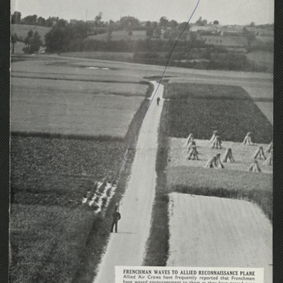
Two press cuttings. The first is captioned 'Frenchman waves to allied reconnaissance plane' and shows a road with two figures, one of them waving, the road running through small farmed fields, trees and more fields in the background.
The second is…
Output Formats

atom, dc-rdf, dcmes-xml, json, omeka-xml, rss2